A selection of a few adventures and days out around Devon and beyond.
Otterton To High Peak Circular Walk
This 4.6mi/7.4km circular walk starts and ends in the village of Otterton. There are no car parks here, so find one of the quiet side roads to park on if arriving by car (Maunders Hill usually has plenty of roadside spaces). This walk takes you along quiet footpaths, past Ladram Bay, onto the coast path and up a steep track to High Peak. This walk is fairly strenuous in places, with rough terrain, especially the climb up to high peak (although this part is optional). Sturdy footwear with good grip is needed and parts of the coast path do get muddy after very wet weather. There is an honesty cafe at Stantyway Farm, as well as a chance to stop off for refreshments at The Three Rocks at Ladram Bay. Once back in Otterton you have the choice of The Kings Arms pub and Otterton Mill for food and drink. Dogs are welcome on the whole walk, just be aware of keeping them on the lead around any livestock and near the cliff edge.
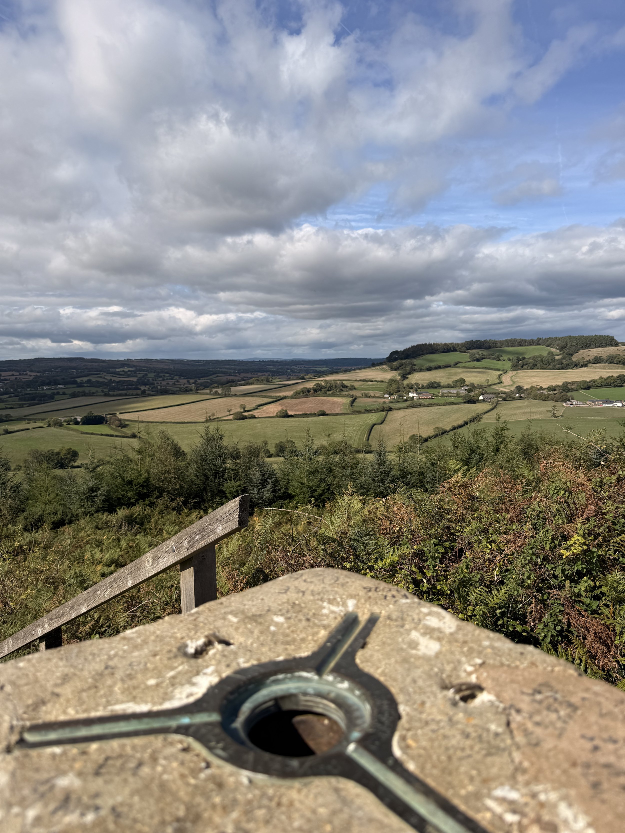
Countryside views from High peak
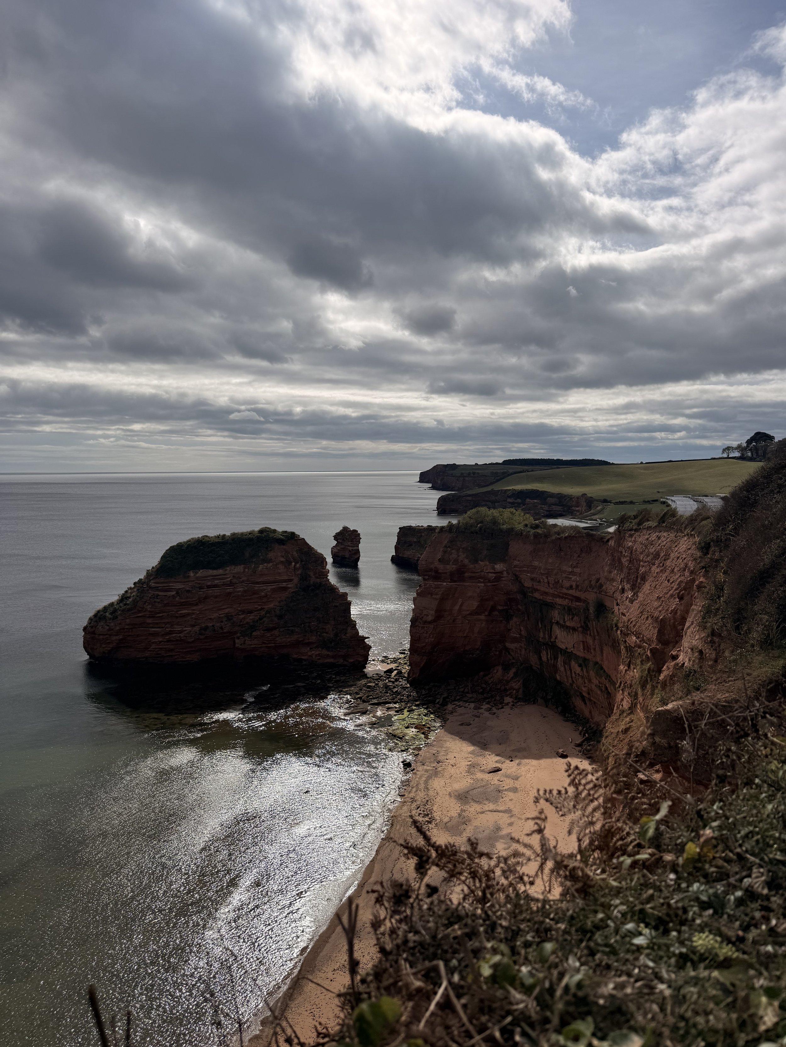
Views of Ladram Bay
After parking on Maunders Hill, walk up the road and turn left down ‘Behind Hayes’. Continue along this road until you see an ‘unmetalled footpath’ sign pointing right up Lea Lane. Take this track that will soon turn stony, and then becomes sheltered by trees leaning overhead. It’s a great area to spot fungi growing on the sides of the track before it turns into a gravel path. Ignore a footpath that you’ll pass on your right, instead continue round a bend to the left. Here I heard goldfinches flying over, then saw swallows dipping down over the fields on either side of the path. There were also several speckled wood butterflies flitting between the leaves along the hedgerows as I reached the end of the path. Have a quick look over at the sea ahead of you, before turning left up the lane where you’ll soon pass Stantyway Honesty Cafe on the left, a good refreshment stop before carrying on down the lane on the right with the T junction sign beside it.
Walking up Lea Lane
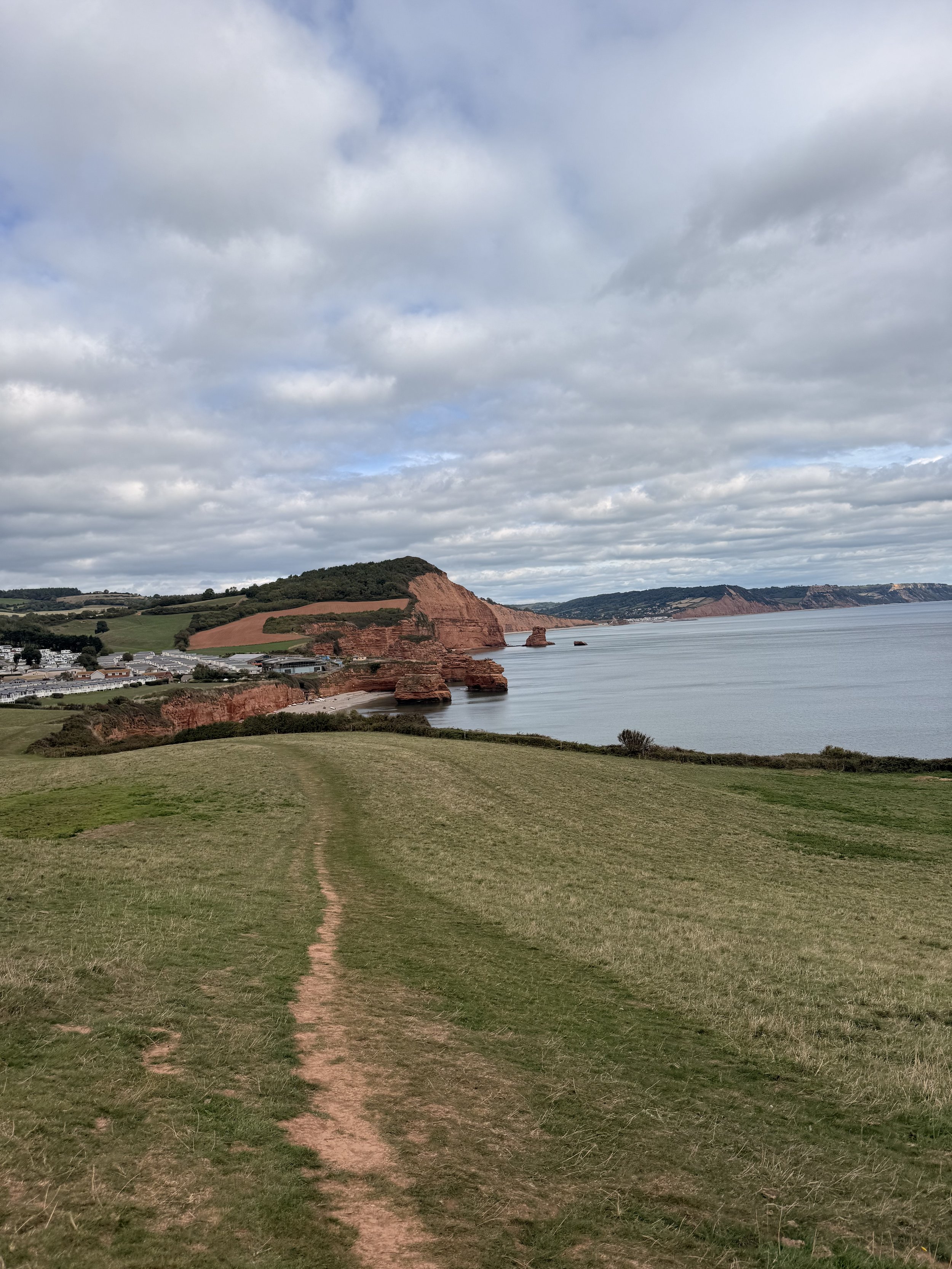
Ladram Bay and Peak Hill ahead
When you arrive at Monks Cottage, take the public footpath to the right, where you’ll soon pass through a gate into a field with stunning sea views over Ladram Bay. Keep to the right and walk the trodden path through the field, on a clear day you’ll be able to see Sidmouth’s red cliffs as well as the white cliffs near Branscombe and Beer. At the bottom of the field, turn left and continue along the path towards Ladram Bay holiday park. Here a flock of linnet flew over the field calling out, I sometimes see rabbits popping out of the hedgerows here too, but not today. Be sure to notice the big hill ahead of you, encompassed by trees, this is Peak Hill and High Peak, which we will soon be climbing. Once passed through a kissing gate, you’ll enter into a field owned by the holiday park, leave this field at the other end and walk down the slope, taking the path on the right passing Ladram Thatched Cottage on your left. If you want a refreshment stop, you’ll soon be passing The Three Rocks on your left (check the opening times).
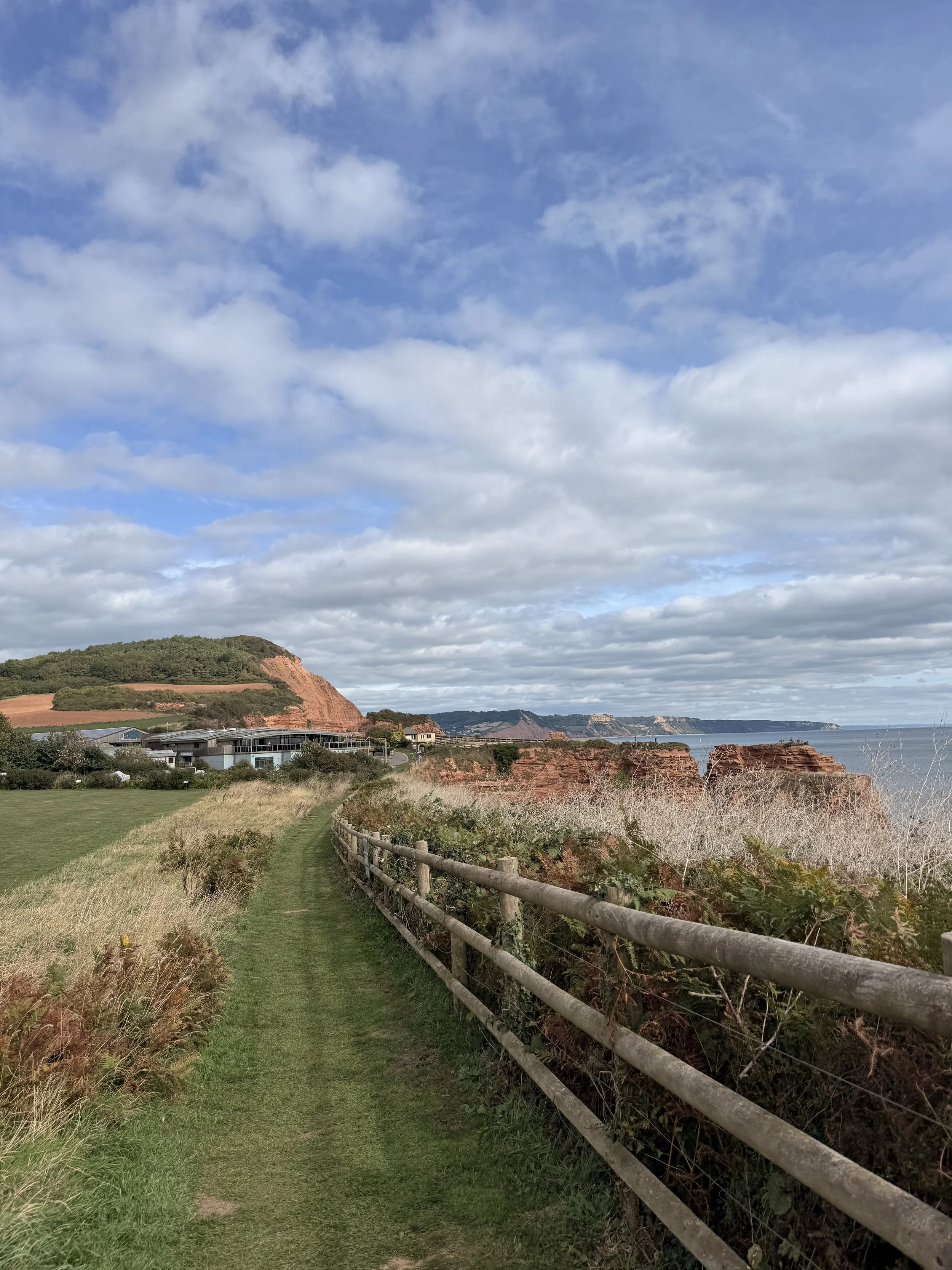
Arriving at Ladram Bay Holiday Park
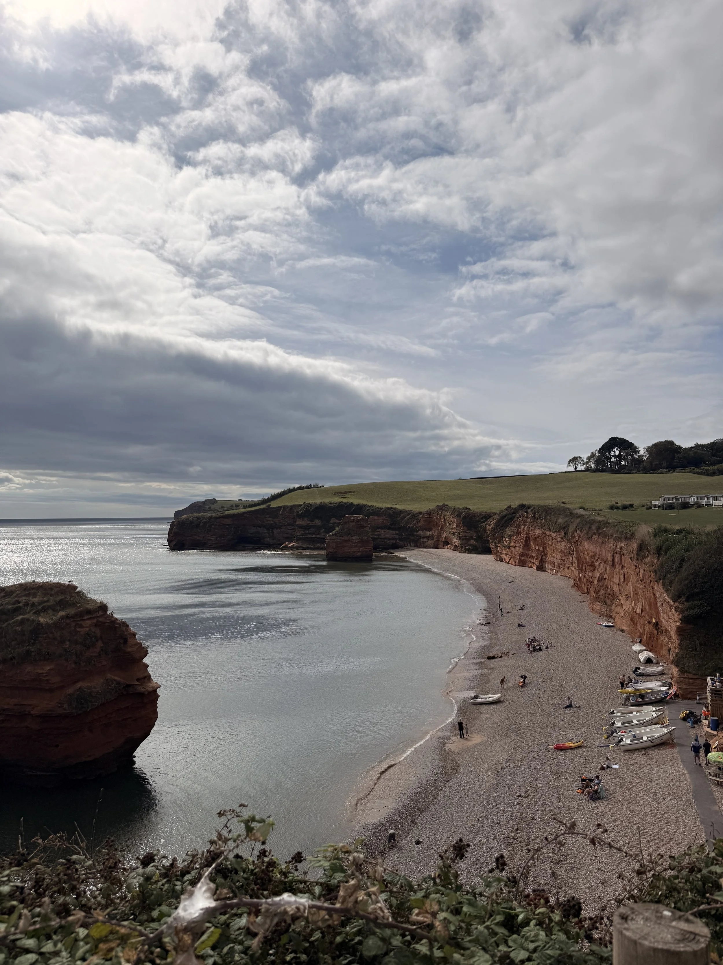
Views of the beach at Ladram Bay
Pick up the path to the left of the play park, where you’ll soon see a coast path sign, opening up into a field. Walk straight ahead towards another gate, then up the dusty track and over a board walk. Parts of this track will be sheltered by hedges and trees, the shade very much welcome on a hot day, there were also lots of sloe berries growing on the blackthorn here. Listen out for buzzards, they can usually be spotted circling above the fields on the left, with views of the heaths in the distance. After an incline you’ll pass through a kissing gate (with lovely views of Ladram stacks if you look back behind you) and into a wooded area. This can be a bit of a workout walking up this hill whilst also dodging the tree roots underfoot, it was lovely hearing the goldcrests calling out in the trees here, and before long the track will soon open up again at the top. Continue ahead until you see a stony track on your right. This is the route to High Peak, if you’re fit and able, I always think it’s worth the steep climb up the uneven, stony track and wonky steps to the trig point at the top, for the panoramic views of the East Devon coast and countryside. There were so many swallows flying about at the top when I did this walk, as well as a family of buzzards hovering above. As I carefully walked back down the track, I heard Jays calling out in the woods below.
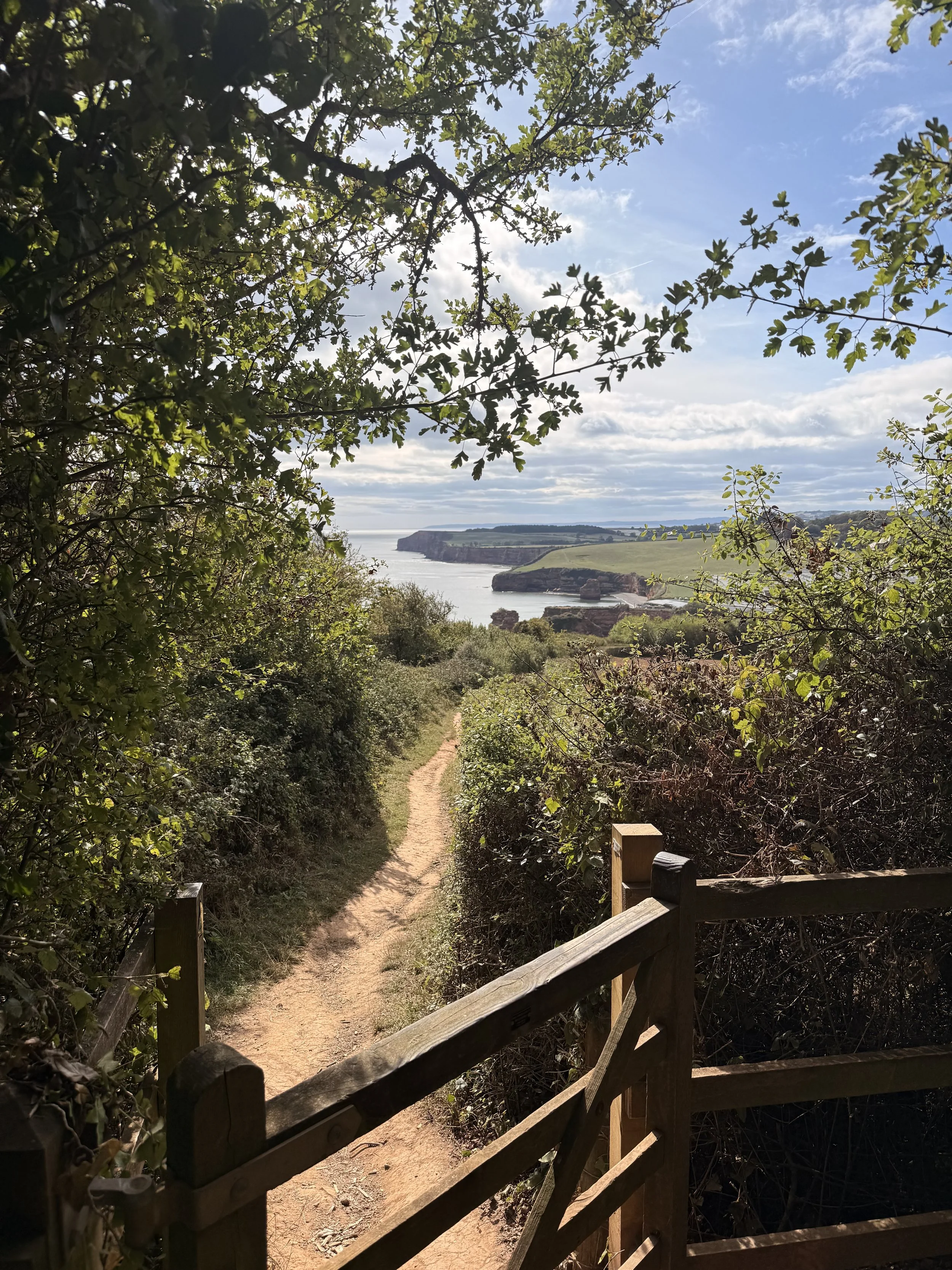
Don’t forget to look back as you leave through the kissing gate
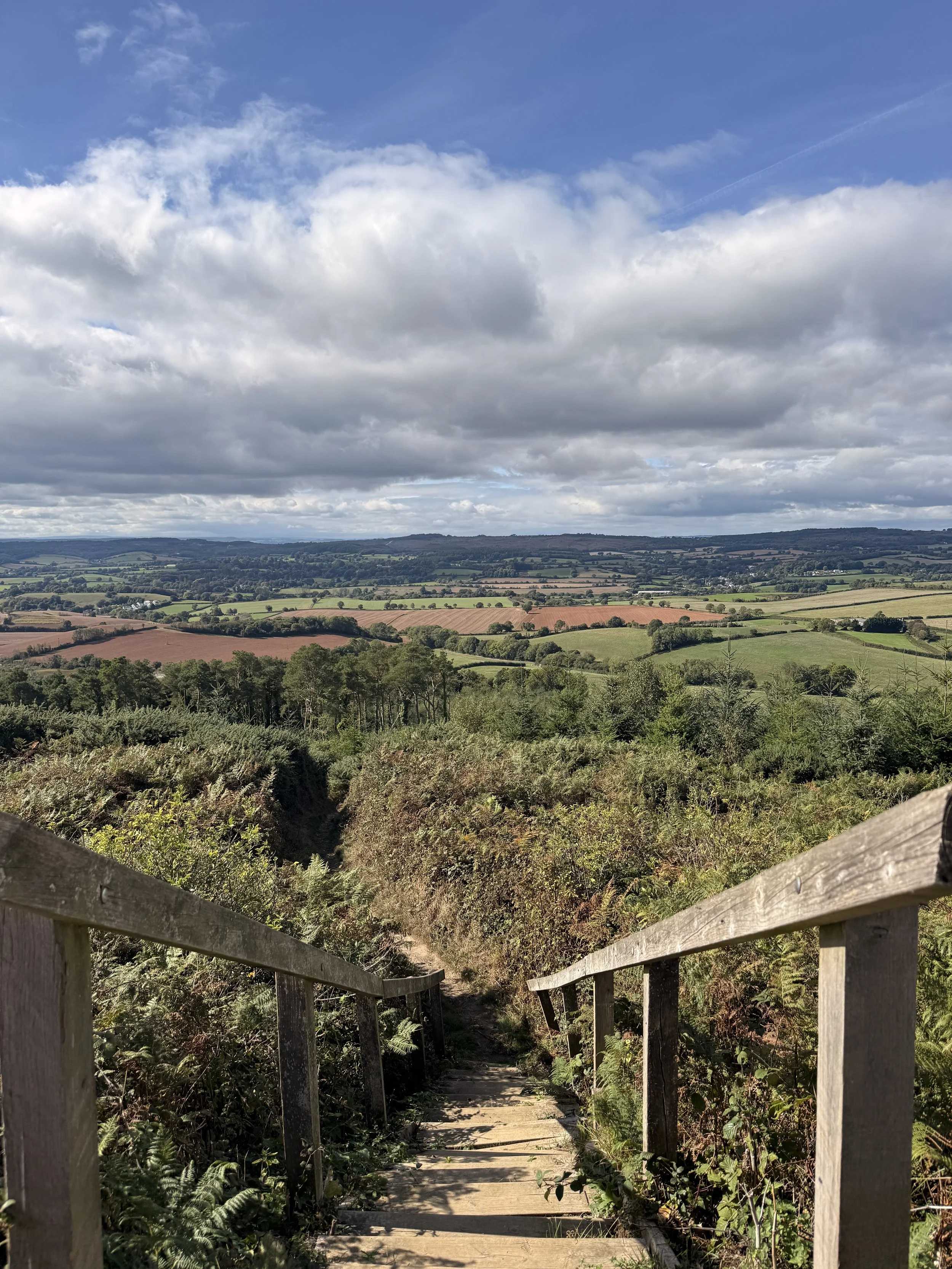
Walking down the steps at High Peak
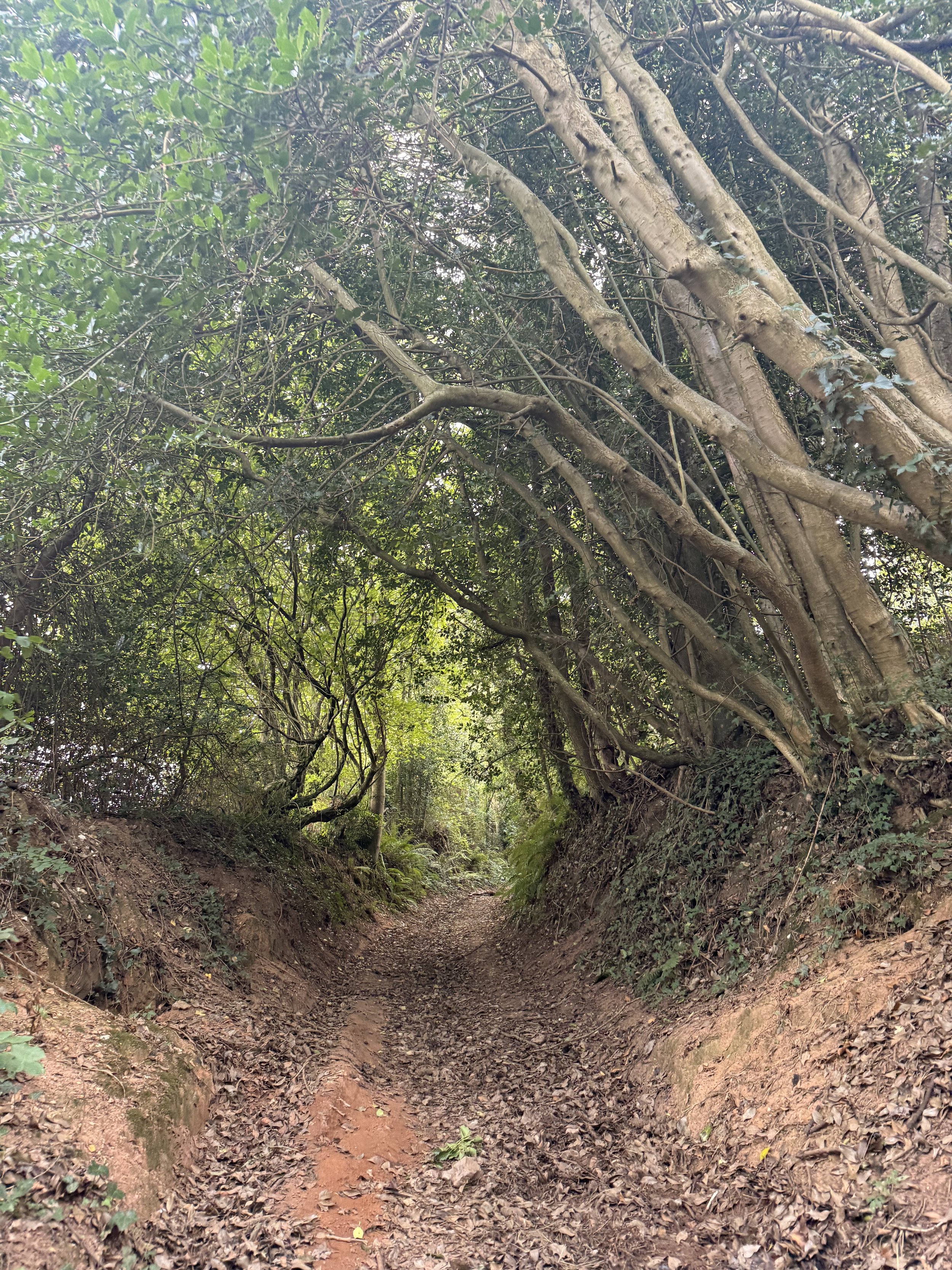
Once back at the bottom of the track, turn right and walk the path with pine trees on either side of it. When you get to a crossroads, take the path to the left signposted ‘Bar’s Lane, Otterton’. This is a lovely leafy lane with teasing views of the rolling hills between the trees on the right. I usually hear blackbirds and wrens foraging in the brambles here, then hearing their alarm call when they think they’ve been spotted. Take the signposted path on the right down a shaded sunken lane (Radway Lane), the dappled light through the trees was gorgeous here on the moss covered tree roots. When you get to a choice of two paths, turn left and walk up a dirt track, again shaded by trees. When you reach the end of this part of the track, turn right and walk down a gravel path (Chockenhole Lane). Ignore a permissive footpath on your left at the end and turn right where you’ll now arrive onto Ottery Street.
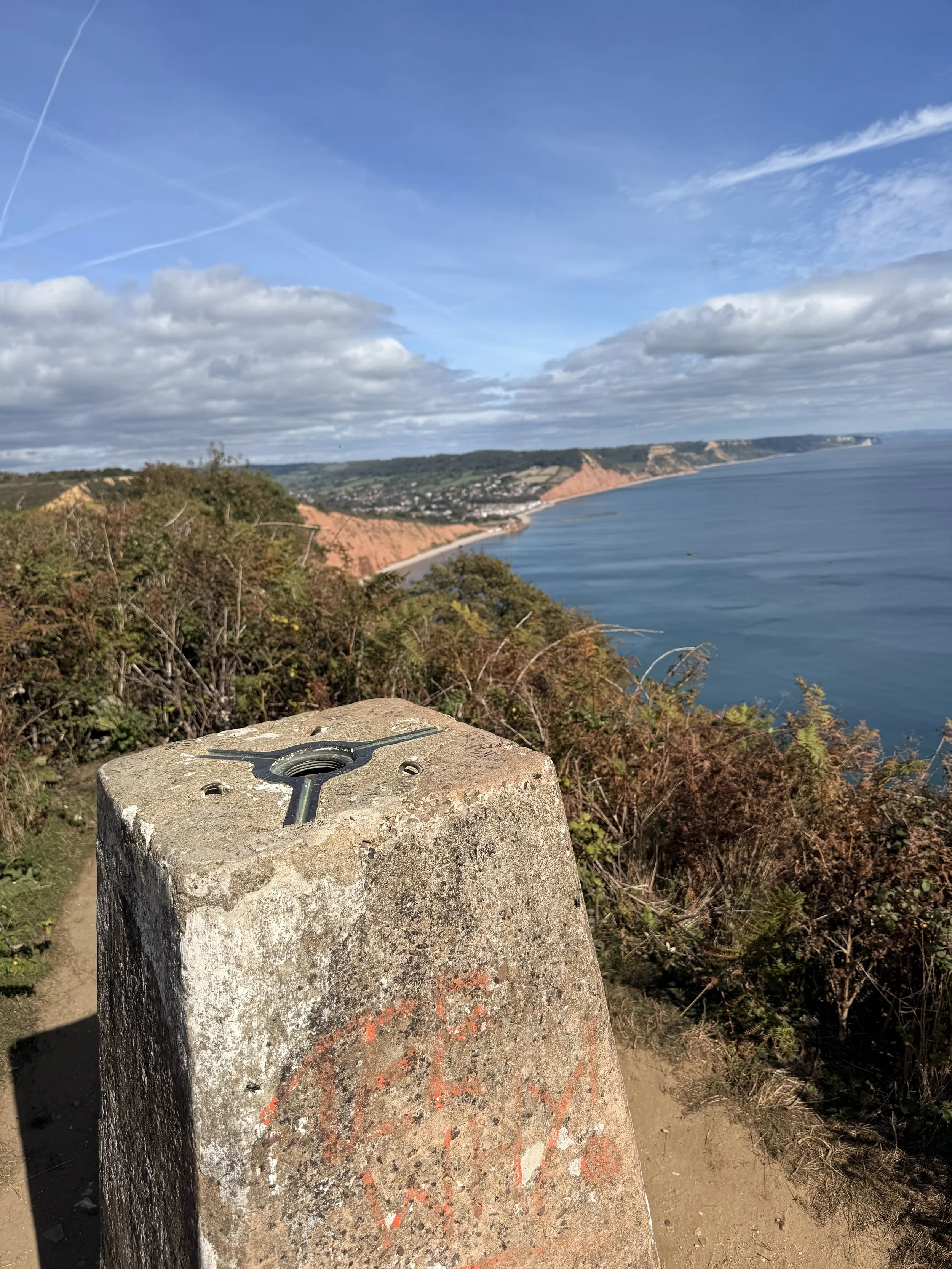
Sea Views from High Peak
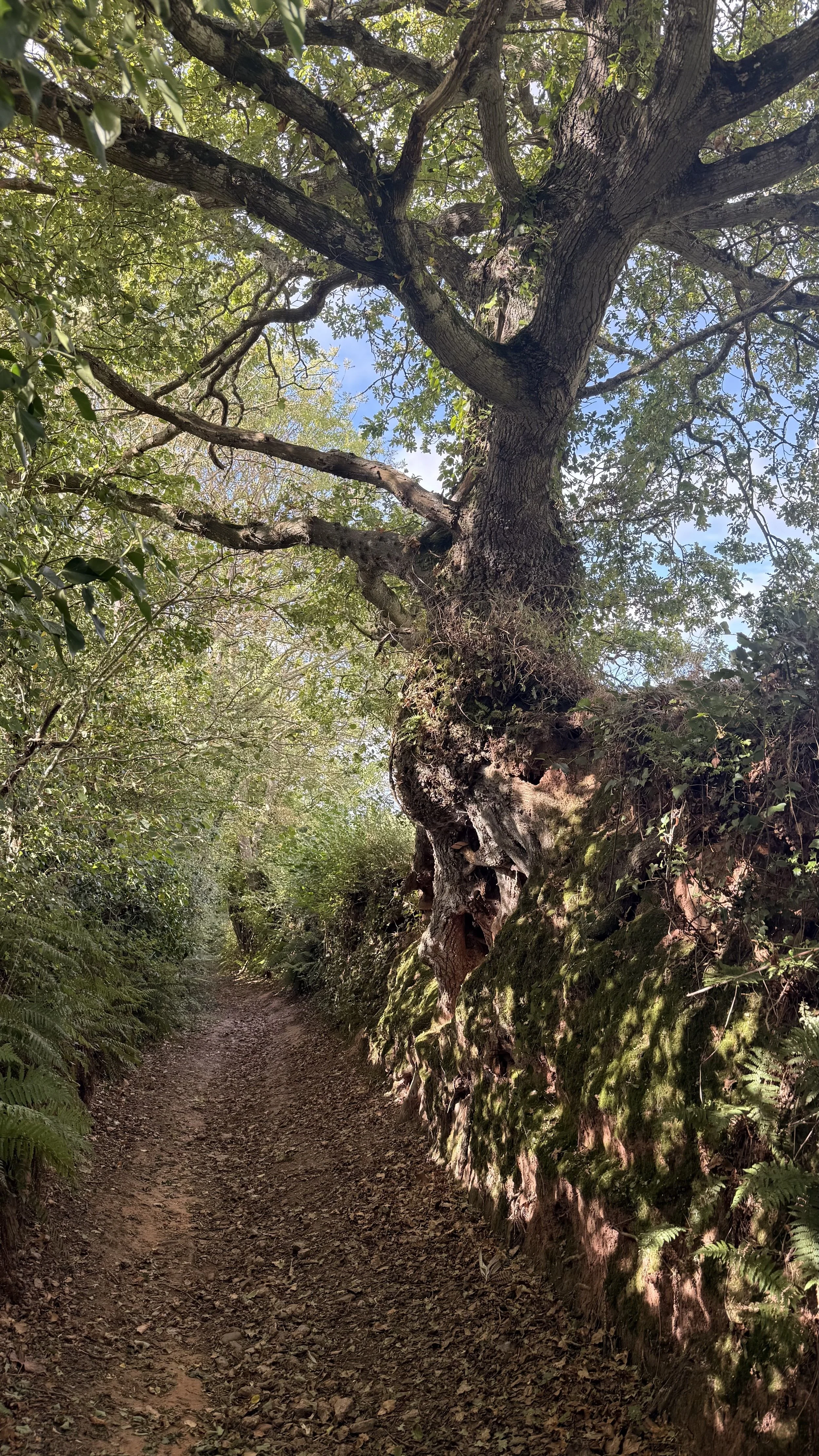
Dappled light on the moss covered tree roots
Turn left and walk down the lane towards Otterton, being careful of any traffic that may pass you. You’ll soon pass a sign welcoming you back into the village, keep walking along this lane, passing beautiful thatched cottages as you do so. Turn right when you reach the main road through Otterton, passing a telephone box library on your right and soon a stream flowing through the village on your left. You’ll soon pass The Kings Arms pub on your right, another great place to stop off for lunch or a drink. When you arrive at the village green, cross the road opposite the bus stop and walk up Maunders Hill where we began the walk. Otterton Mill is also just down from the green for food, drink and a look around the Mill and gift shop. If you enjoyed this walk, be sure to keep an eye on other coast path walks I’ll be putting on here soon.
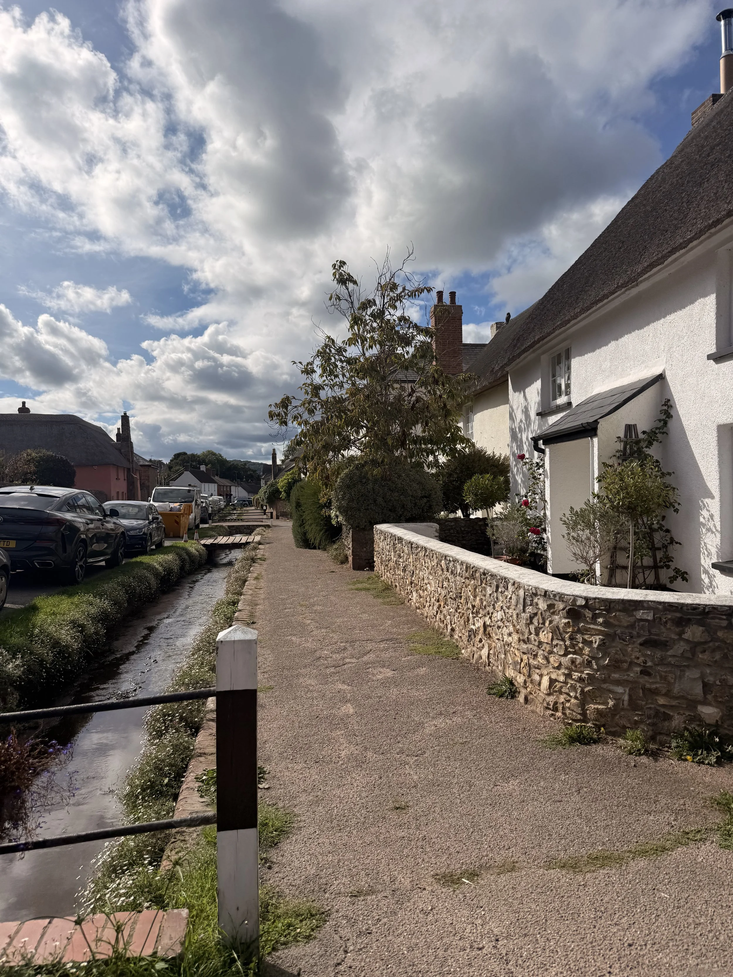
Arriving back into Otterton
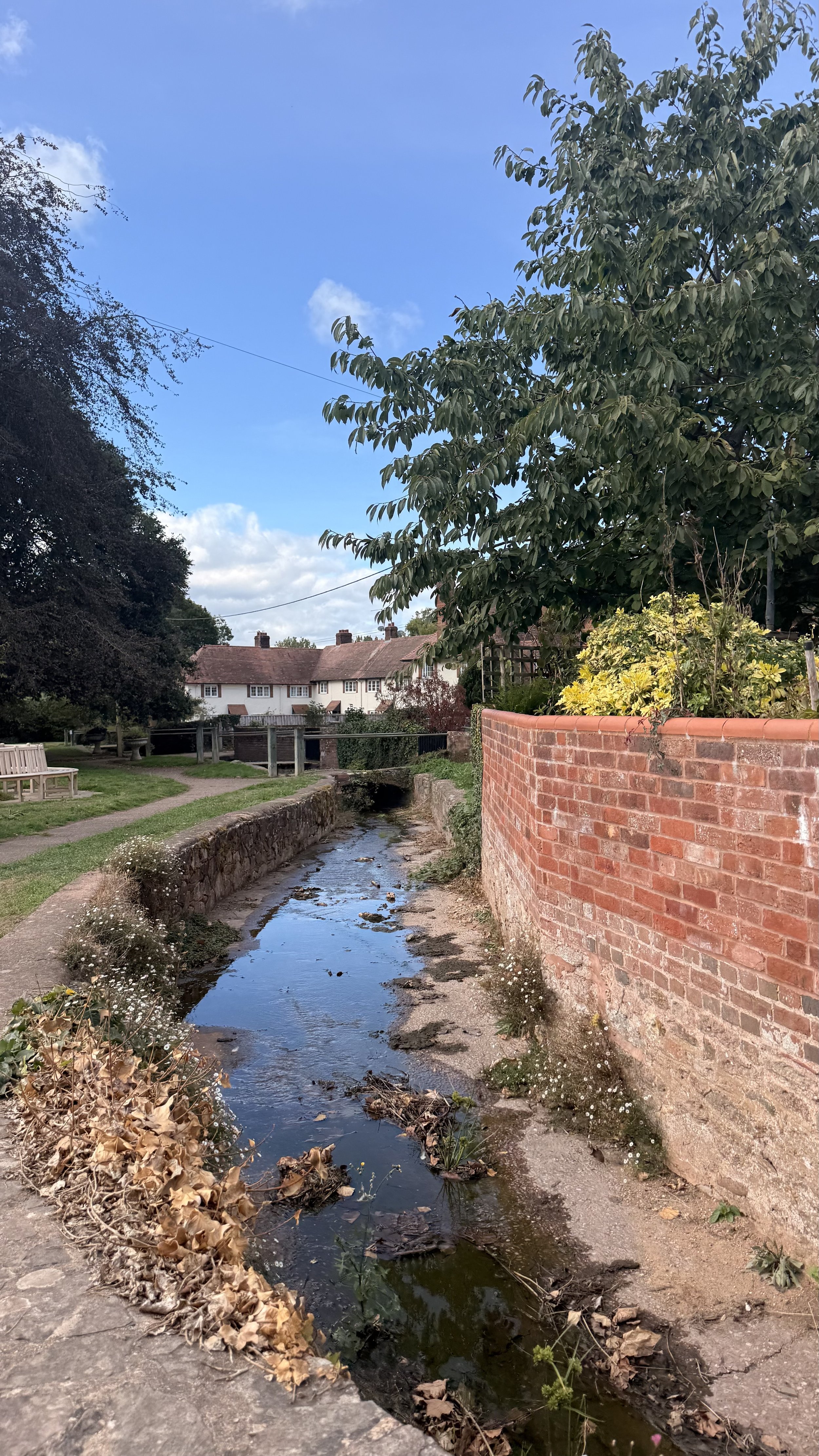
At the end of our walk by the village green
Branscombe Village and Coast Path Circular
This circular 4mi/6.9km walk begins in Branscombe Beach Pay and Display Car Park (What3words: ///police.nylon.sprain). It takes you alongside a leat, a working mill, an orchard and a forge, then up through the village until you reach the coast path with stunning views of the sea and cliffs before dropping back down into Branscombe, arriving back at the beach. It can be strenuous in a few places with uneven ground and steep inclines, sturdy footwear is advised. There are two pubs and a cafe in Branscombe as well as the National Trust Old Bakery Tea Rooms which you will pass on the walk. (Check opening times online). Toilets are located at the beginning of the walk, as well as National Trust toilets beside the Old Bakery Tea Rooms. This walk is dog friendly, but be aware they may have to remain on lead for sections of the walk due to grazing livestock, and also stretches of road and coast path.
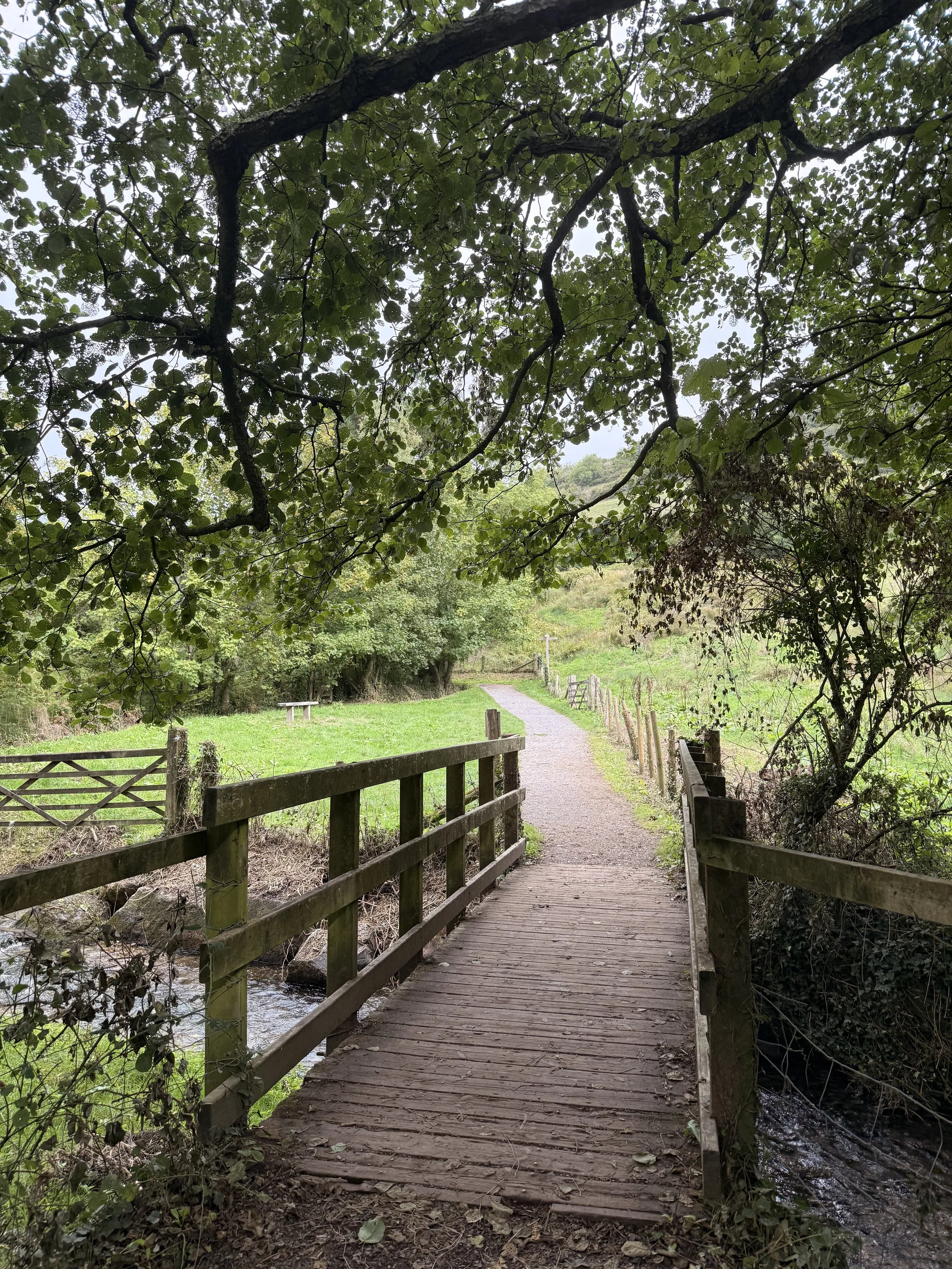
Crossing over the stream
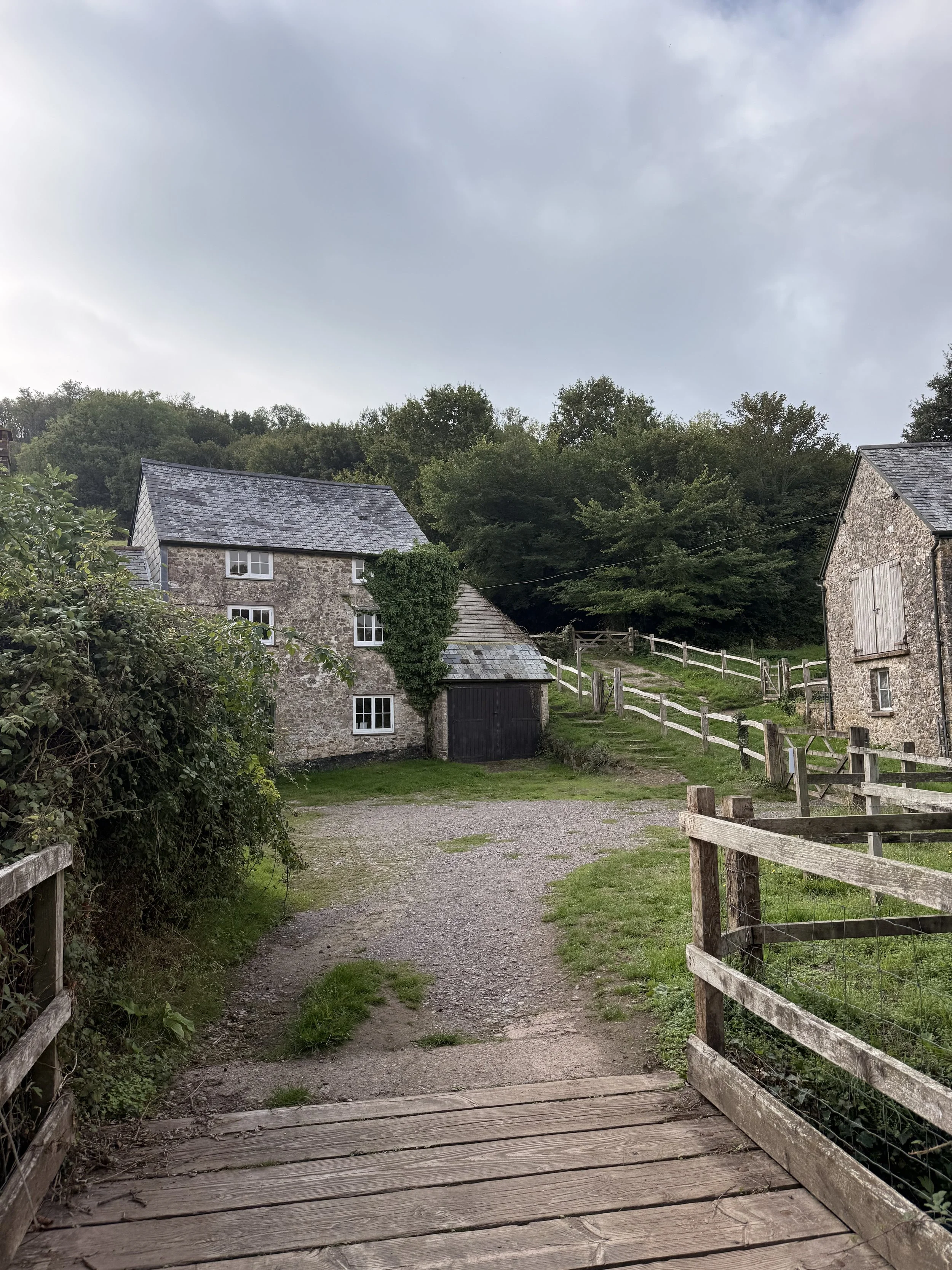
Arriving at Manor Mill
From the car park walk past the toilets behind The Sea Shanty Cafe, turning right on a path that takes you alongside a stream, shaded by trees. Soon you’ll cross over a bridge with a National Trust sign encouraging you to play pooh sticks here. We heard several blue tits and goldcrests along this route as we continued on, ignoring any signs coming off the main path. We also spotted 3 different species of beetle in the brambles on the left next to the wire fence, one being a very shiny and beautiful bronze beetle, as well as another National Trust sign, this one was for a scavenger hunt game. As we crossed over another bridge, we spotted dragonflies darting about in the field to the left, as well as a noisy jay flying from one tree to another as we continued along the gravel path. When you reach a gate, turn left and walk down the track to National Trust Manor Mill, then taking the gate to the right of the steps, with a sign pointing to ‘the Old Bakery Tea Rooms and The Forge’. Walking along the trodden grass track with the water trickling on your left, you’ll soon pass through gates on a bridge, then through another field before entering into an orchard via a ‘snaking’ bridge.
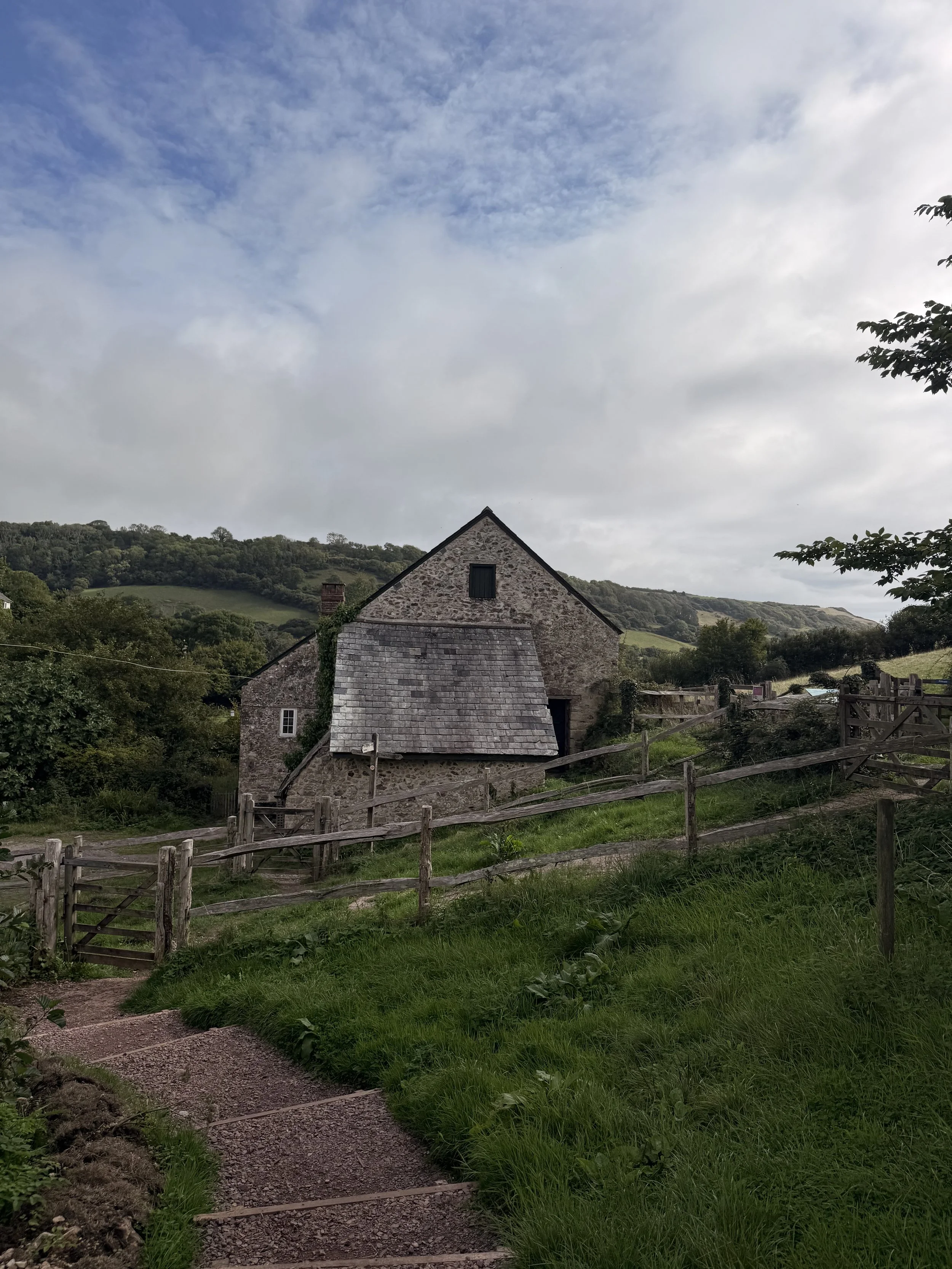
National Trust Manor Mill
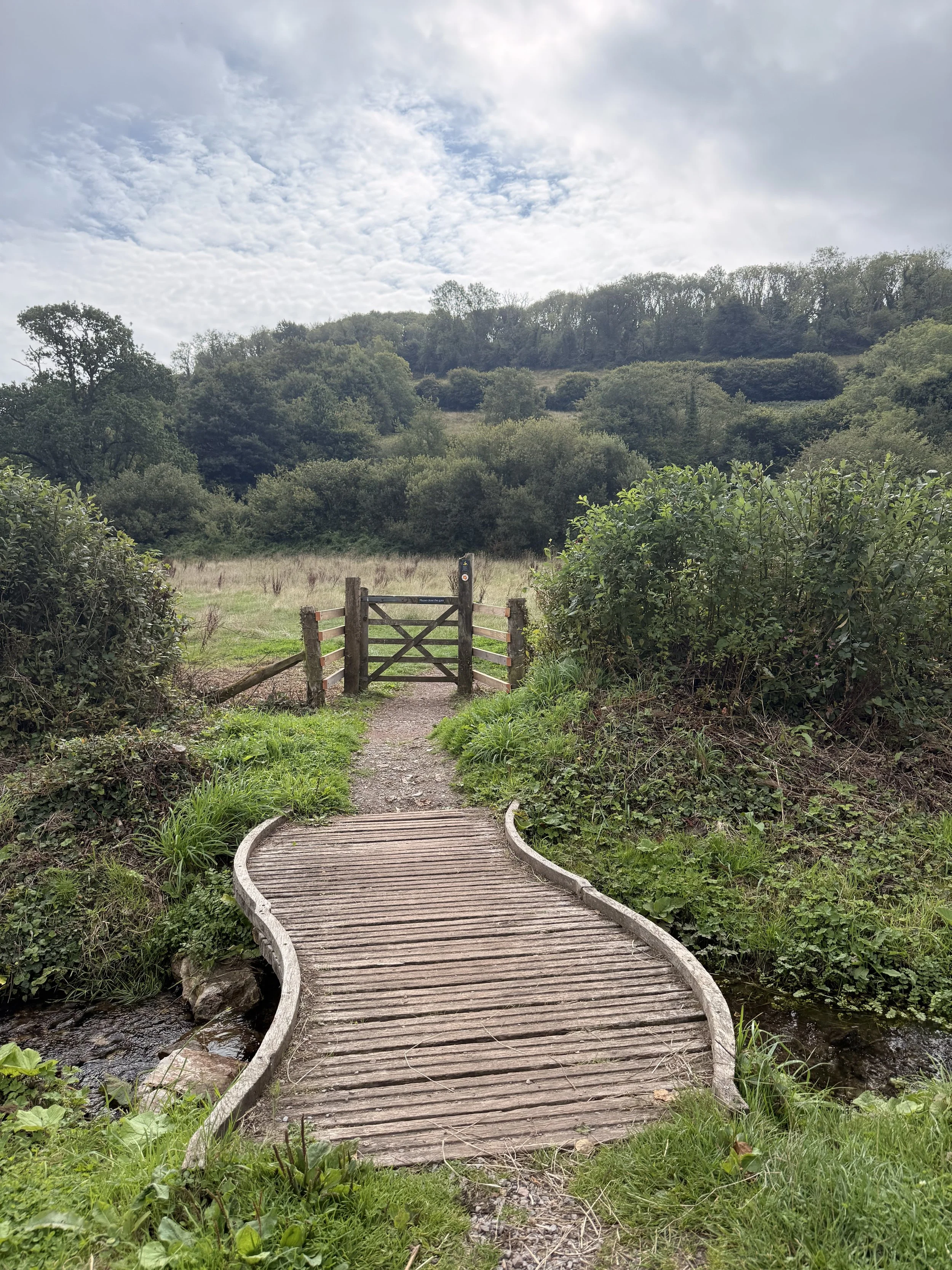
The snaking bridge leading to the orchard
Soon you’ll pass the Old Bakery Tea Rooms on your left and the National Trust visitor information centre and toilets on your right. The Tea Rooms are open on certain days for a refreshment stop (check online for opening times) as is the working forge on the other side of the road. Turn left and walk up the road passing the yellow thatched cottage as you do so. Soon you’ll also pass the church where you’ll be treated to beautiful views of the valley below on your left. We could hear buzzards calling out and circling in the sky above as we continued on up the hill, eventually passing (and ignoring) a footpath sign leading into fields on our left. Be careful of cars passing you as you walk along this road, soon passing Pitt Farm then arriving at a junction in front of a beautiful house named Beehive Cottage. Turn left up this road then up the hill, but keep an eye out for a public footpath to ‘Berry Cliff Coast Path’ just to the right of ‘Rookeries House’. If required, you can have a drink stop at The Fountain Head Inn, just behind Beehive cottage, near the entrance to the footpath.
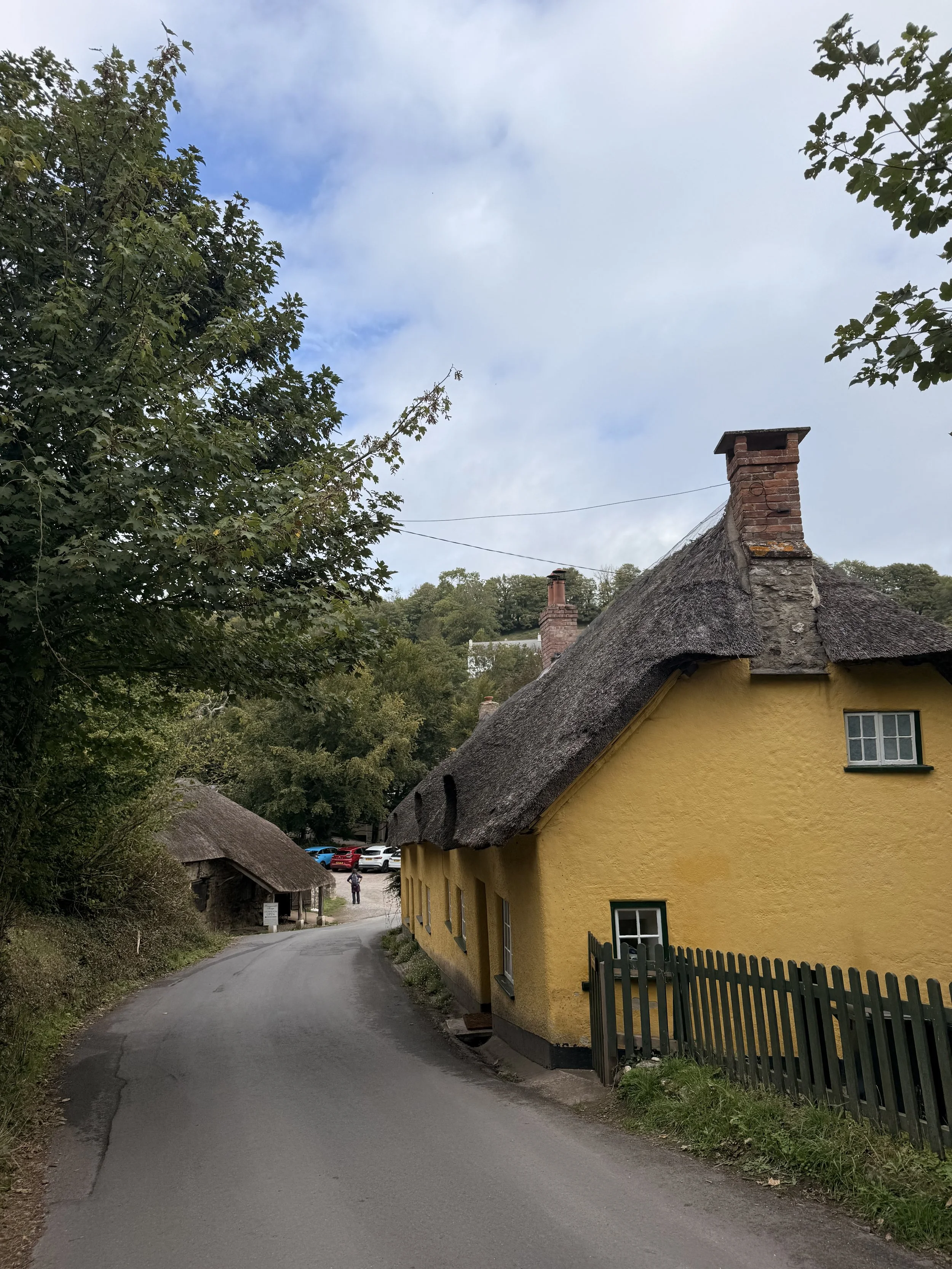
Branscombe Forge and Forge Cottage
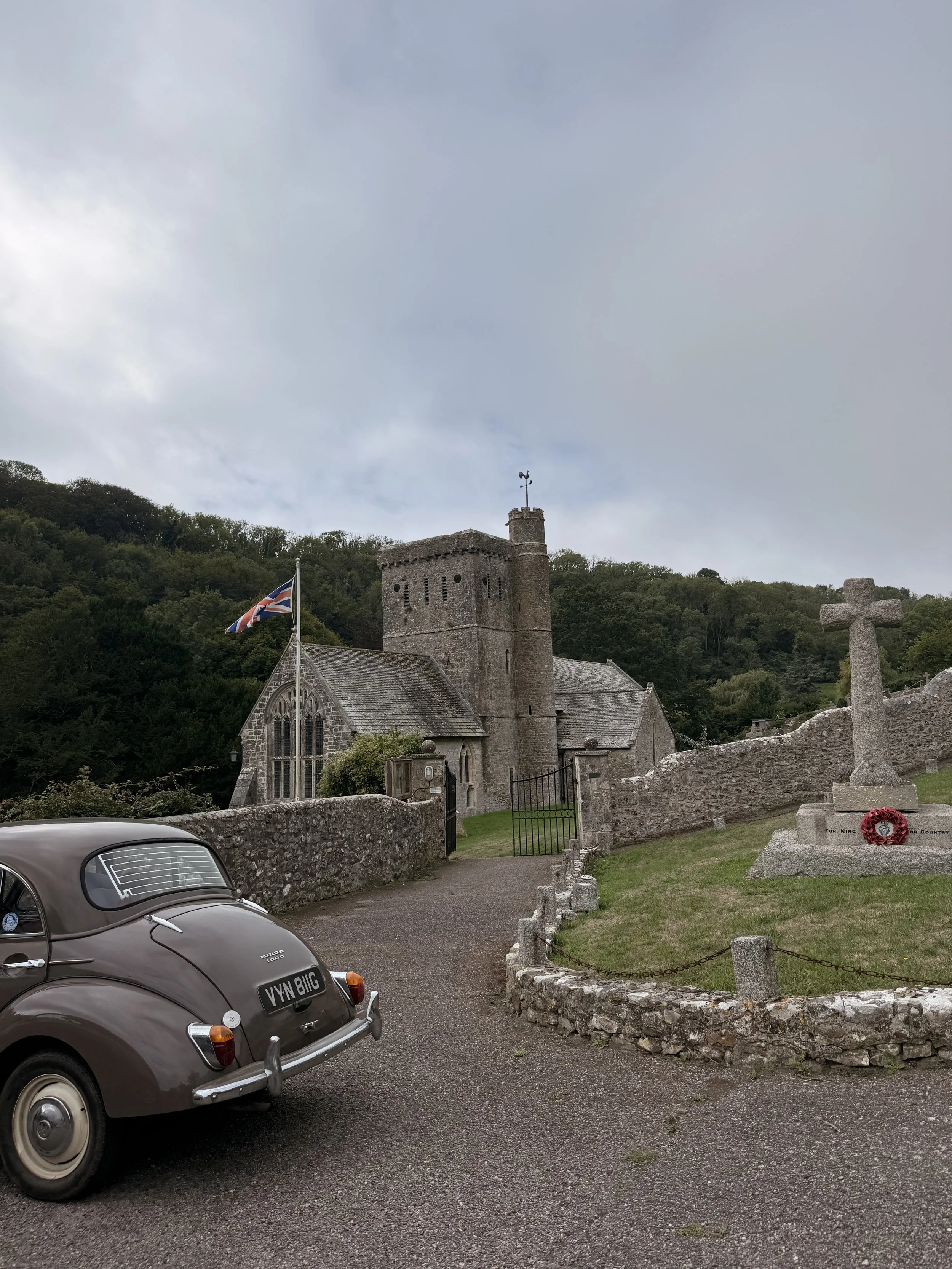
Walking past Branscombe’s Church
We spotted a couple of rabbits along this gravel track as it continued up the hill, up some steps and through a gate into Pit Coppice. Here it can be uneven with rocks and tree roots underfoot, as well as a challenging incline. Luckily the steepness doesn't last long before we leave the woods through a kissing gate and into a field. Continue straight through the field, note that there is evidence that cows graze in here so keep dogs on lead if you do spot any livestock. There will soon be a natural trodden path through the contour of the field, you’ll then arrive at a gravel public footpath. Here you can choose to turn left and take a shortened route back to Branscombe via the coast path, or like us, turn right, adding on an extra stretch of the coast path. We took the track through a metal farm gate, continuing ahead with hedgerows on either side, until you reach a stone walled kissing gate. Pass through the kissing gate on the left (marked as a public footpath), and take the track straight ahead through the field. Soon you’ll be able to see the sea on your left as you follow the track, picking up the South West Coast Path by a signpost. From here, turn left and walk the coast path towards Branscombe Mouth. Here we saw plenty of stonechats on the gorse, and heard a dunnock calling as we passed by.
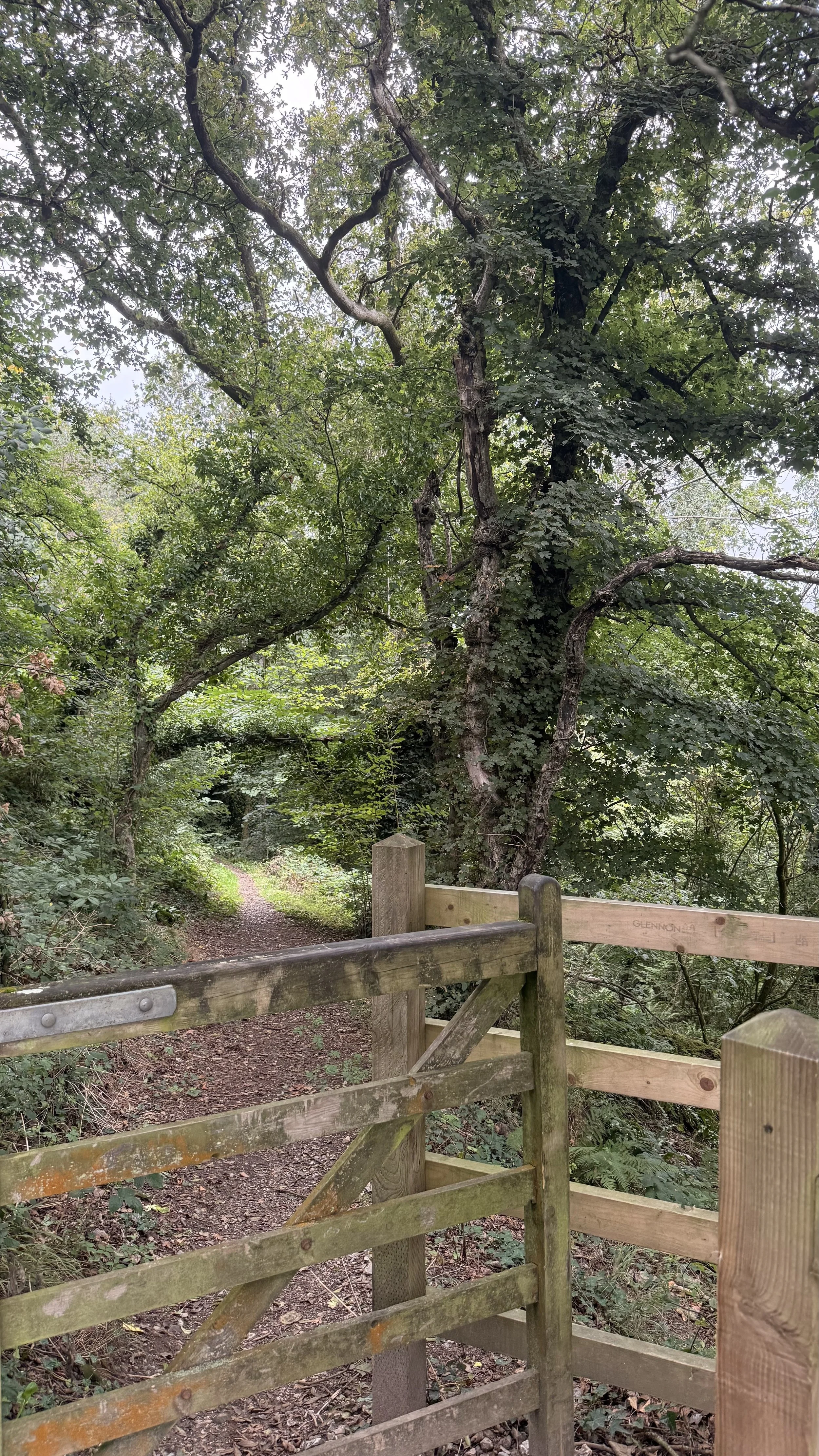
Leaving Pit Coppice
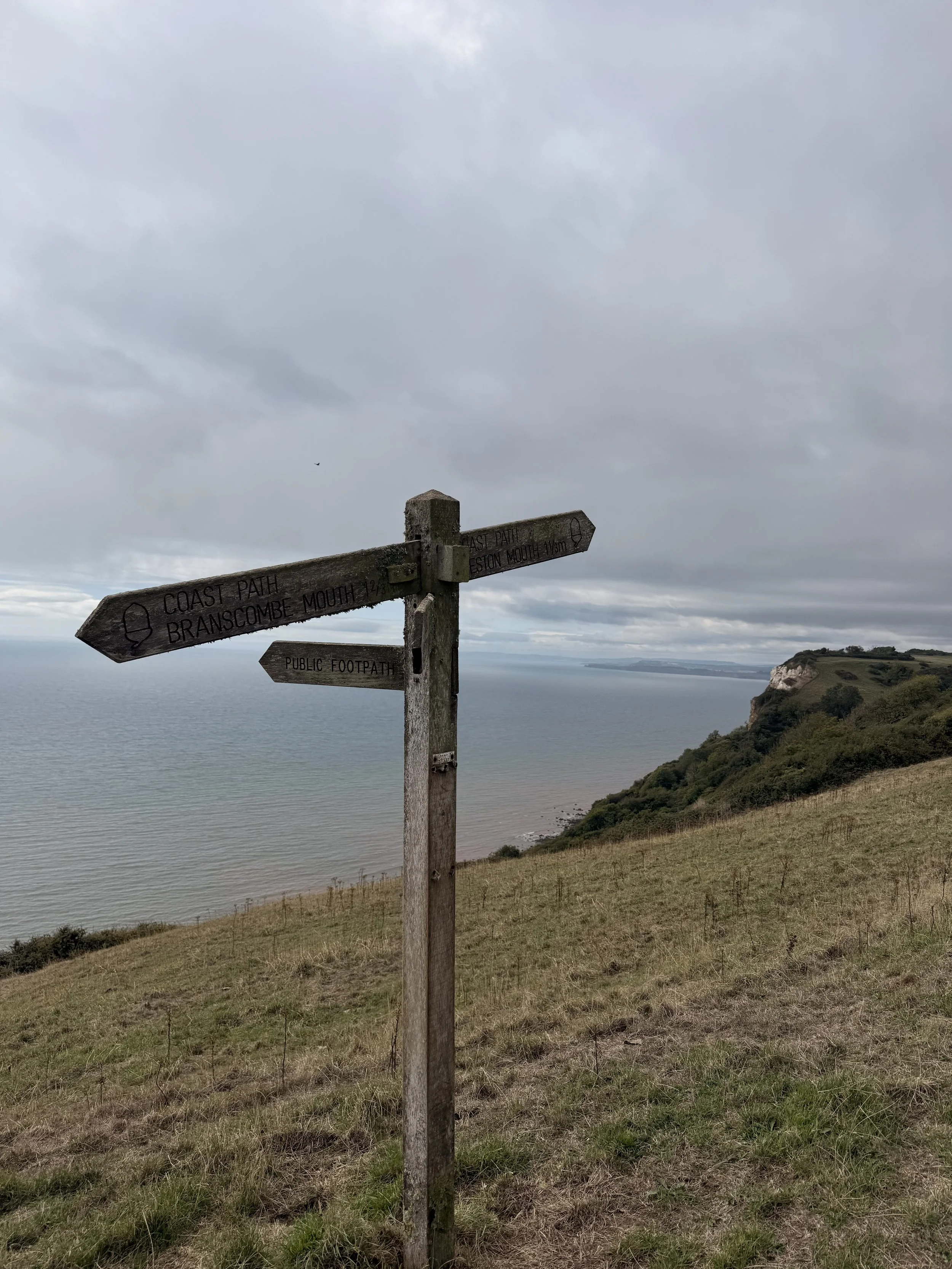
Arriving on the South West Coast Path
As you walk along the coast path, be sure to enjoy the views of the East Devon coastline behind you. On a clear day you can see Sidmouth, Ladram Bay and Straight point near Exmouth. As we passed through a kissing gate to Berry Cliff Camp, we saw so many swallows dipping down and flying low over us, probably the most I’ve seen in one place. Once you pass through another kissing gate, the path will become uneven and stony before opening up into ‘Fluff’s Car Park’. From here, turn left, then at the end of the track turn right, following the coast path signs for Branscombe Mouth. This part of the track was so peaceful and quiet, listening to the sound of blackbirds and robins singing. This path will turn more sheltered with trees and ferns as you pass another sign post pointing you towards Branscombe, thankfully not down the steps to the left of the gate you pass through.
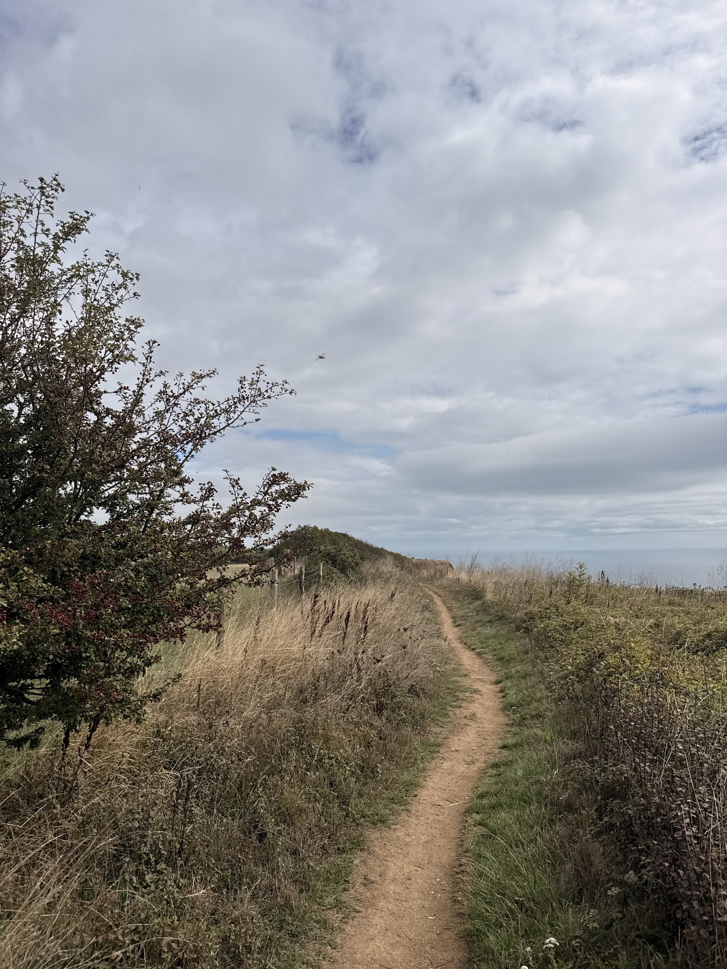
Walking the South West Coast Path
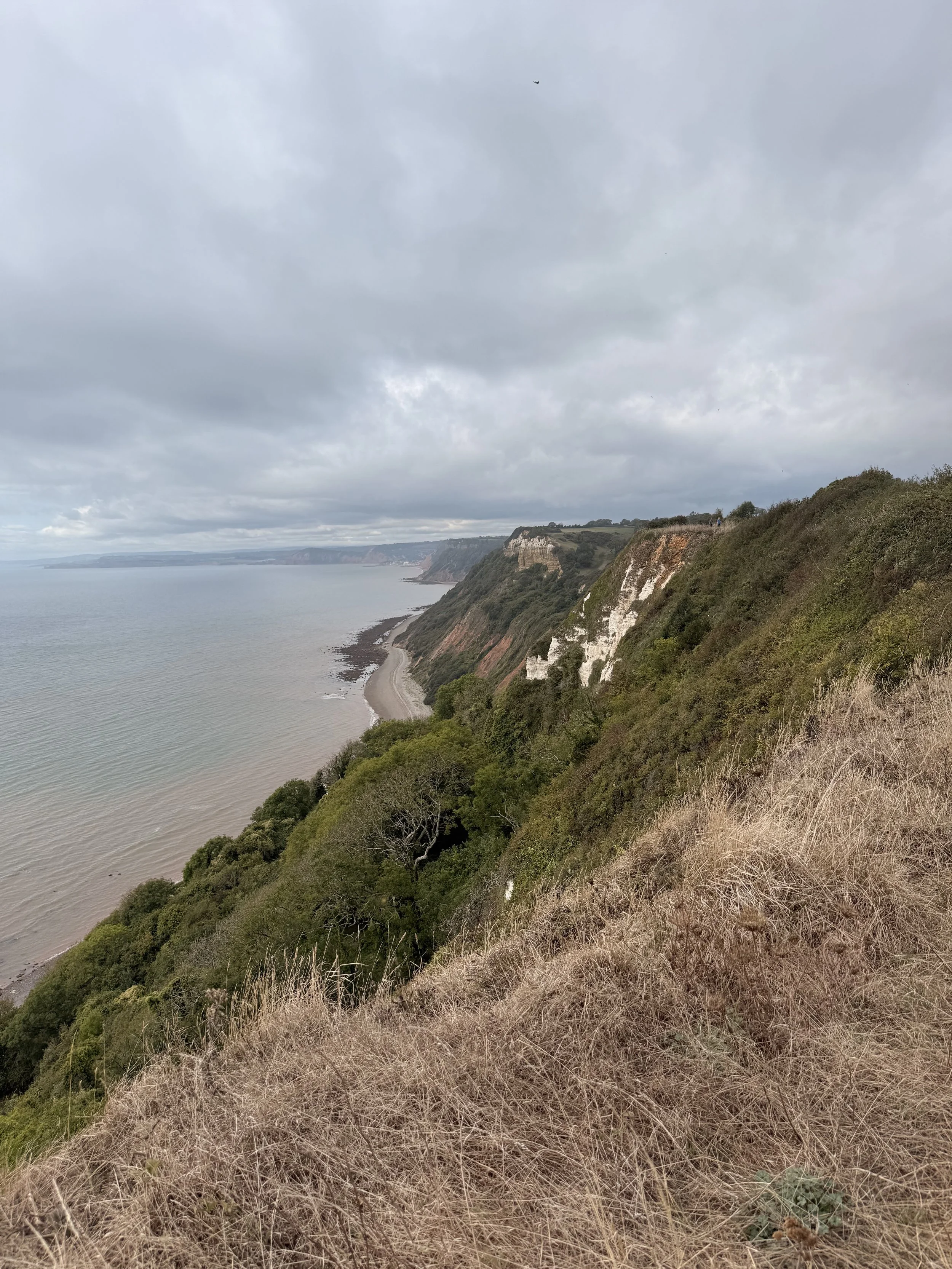
Looking back at the East Devon Coastline
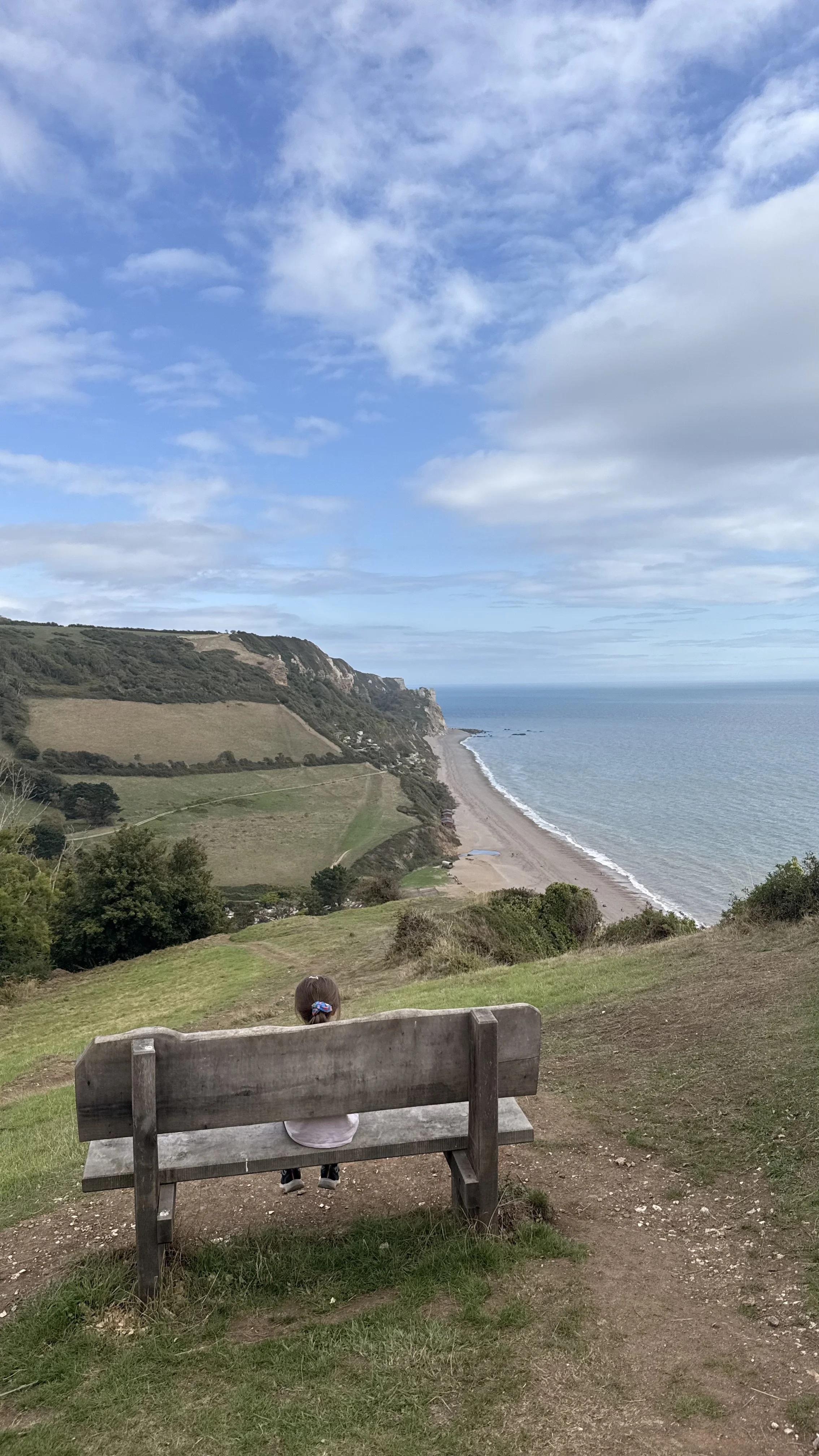
The woodland path will soon open up to a beautiful view of Branscombe Village with the perfectly placed bench to rest and enjoy the view. We sat here for a while looking down at the valley and listening to a raven calling out in the tree just behind us. There were also plenty of butterflies around this area, enjoying what was left of the summer sunshine. Continuing on, we passed through a kissing gate, where eventually the stony path opened up to the sea views of Branscombe Beach. Once again, there was a bench placed here to enjoy the views before heading down the hill, through a kissing gate into a field, where it then takes you to where we first started the walk beside the beach and car park. If you like the look of the steep hill on the other side of the beach, then there is a lovely walk from Beer to Branscombe (and back) that I have previously posted here.
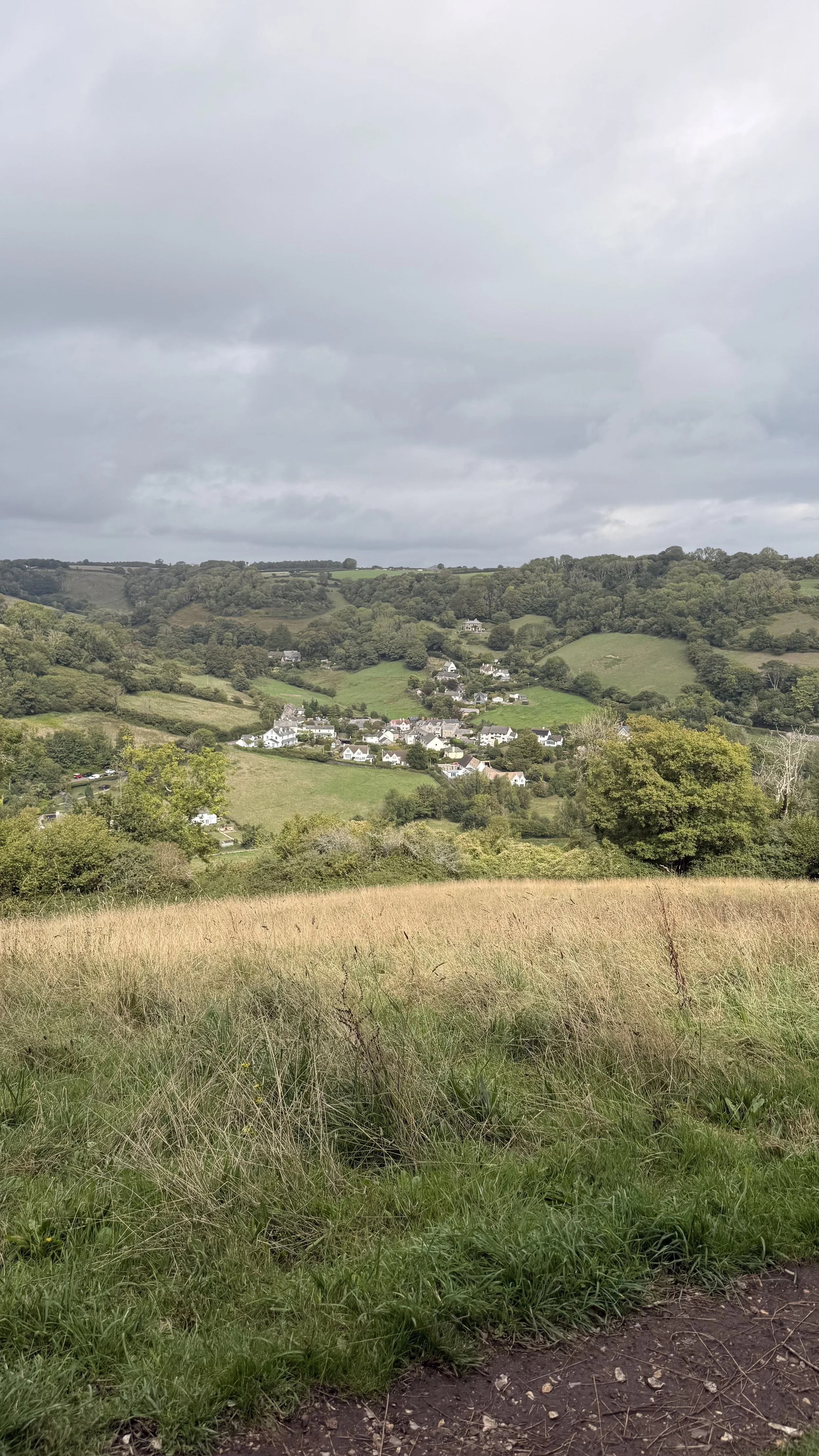
Views of the village
A perfect spot to enjoy the view before heading down the hill