A selection of a few adventures and days out around Devon and beyond.
West Down Beacon Loop
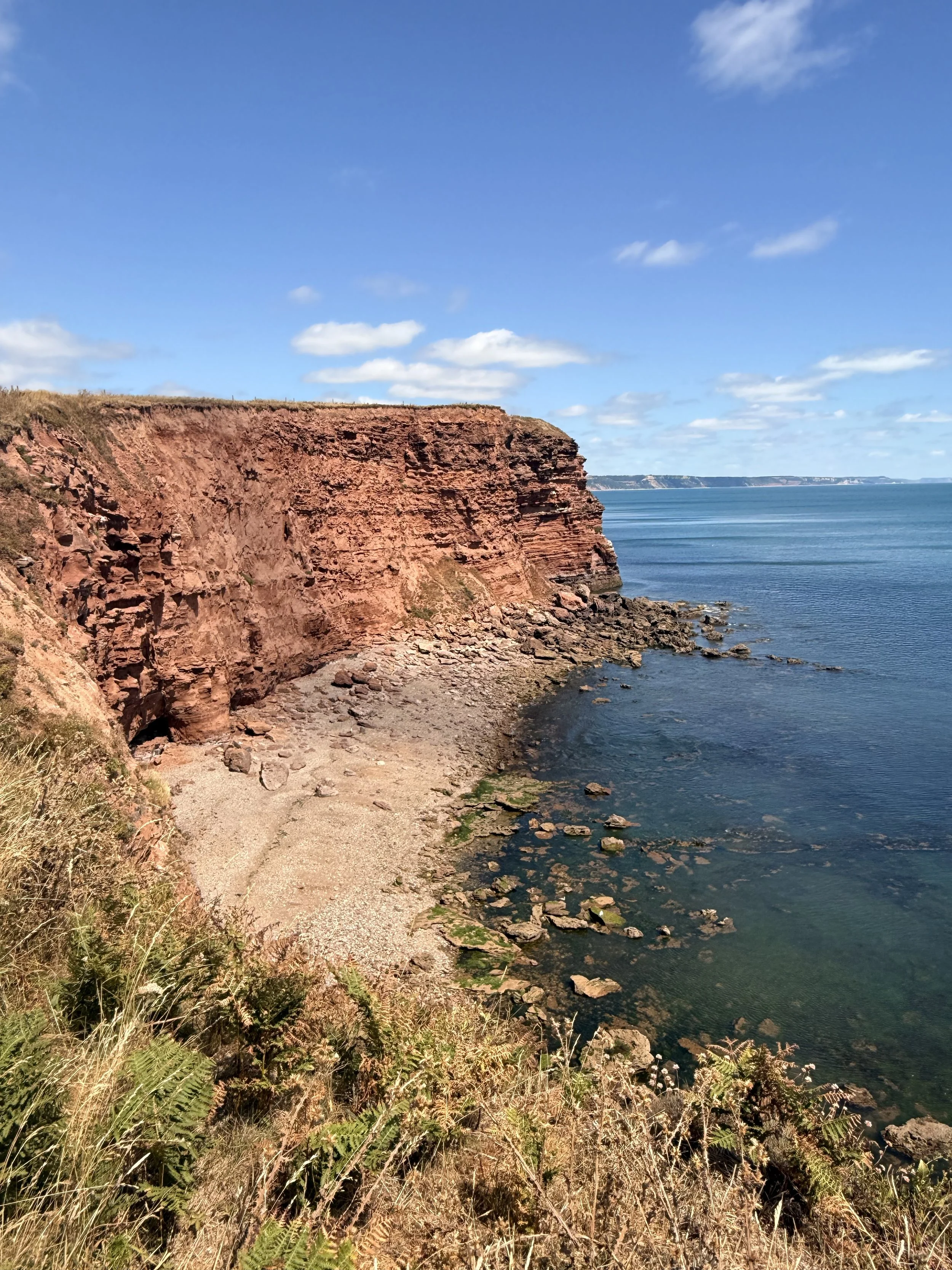
This is a beautiful 4 mile walk along shaded footpaths and the South West Coast Path with stunning sea view along the Devon Coastline.
The walk starts at Castle Lane, just outside of Budleigh Salterton (what3words ///birds.muffin.thorax) and there’s plenty of roadside parking along the quiet lane here. Once parked up, walk down the road (opposite direction from the main road) where you’ll pass some houses on the left. Once you pass a house called ‘Oak Glade’ you’ll soon see a signpost ahead informing you of a public footpath. Take the path on the right which is signposted ‘West Down Beacon/Coast Path’ You’ll now be following a shaded path through East Devon Golf Club. As you walk along this path between the golf course, have a look to your left and enjoy the sea views in the distance, on a clear day you can see the white cliffs of Beer and Branscombe.
The shaded path through the golf course
The sign as you cross over the golf course to join the coast path
Ignore any footpaths branching off of this path, it won’t be long before this track opens up onto the golf course. Be aware of golfers as you take the gravel path, then turn right onto the grass path where you should spot a footpath sign ahead by some trees. That’s the direction you’re heading! Once across the golf course, take the path between the trees with the sign that states ‘To Coastal Path’. This wooded path will eventually open up onto the South West Coast Path and will treat you to sea views ahead, with Exmouth and Devon Cliffs holiday park over the fields on your right, and the golf course on your left.
Views of Exmouth and Devon Cliffs Holiday Park
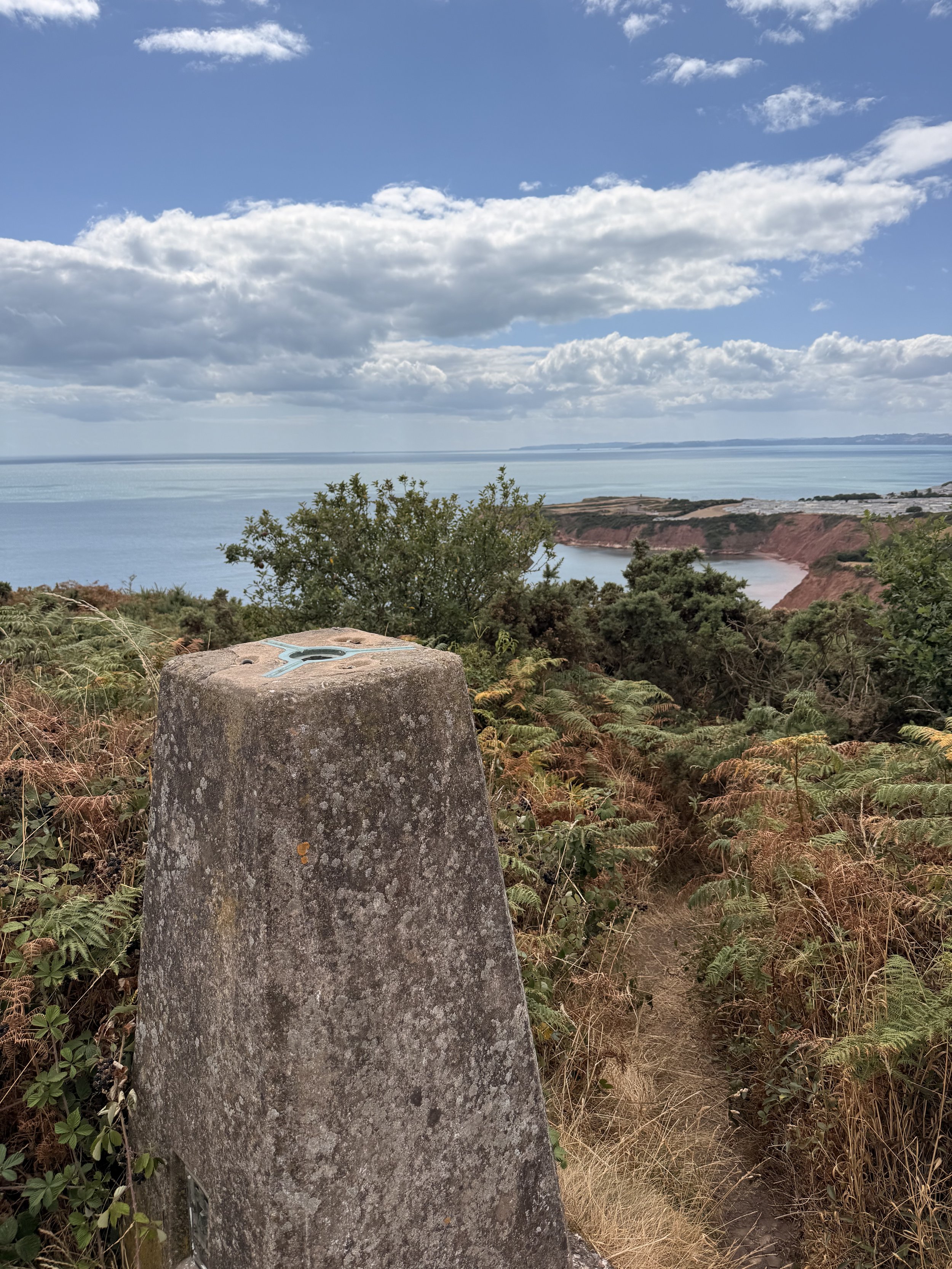
West Down Beacon
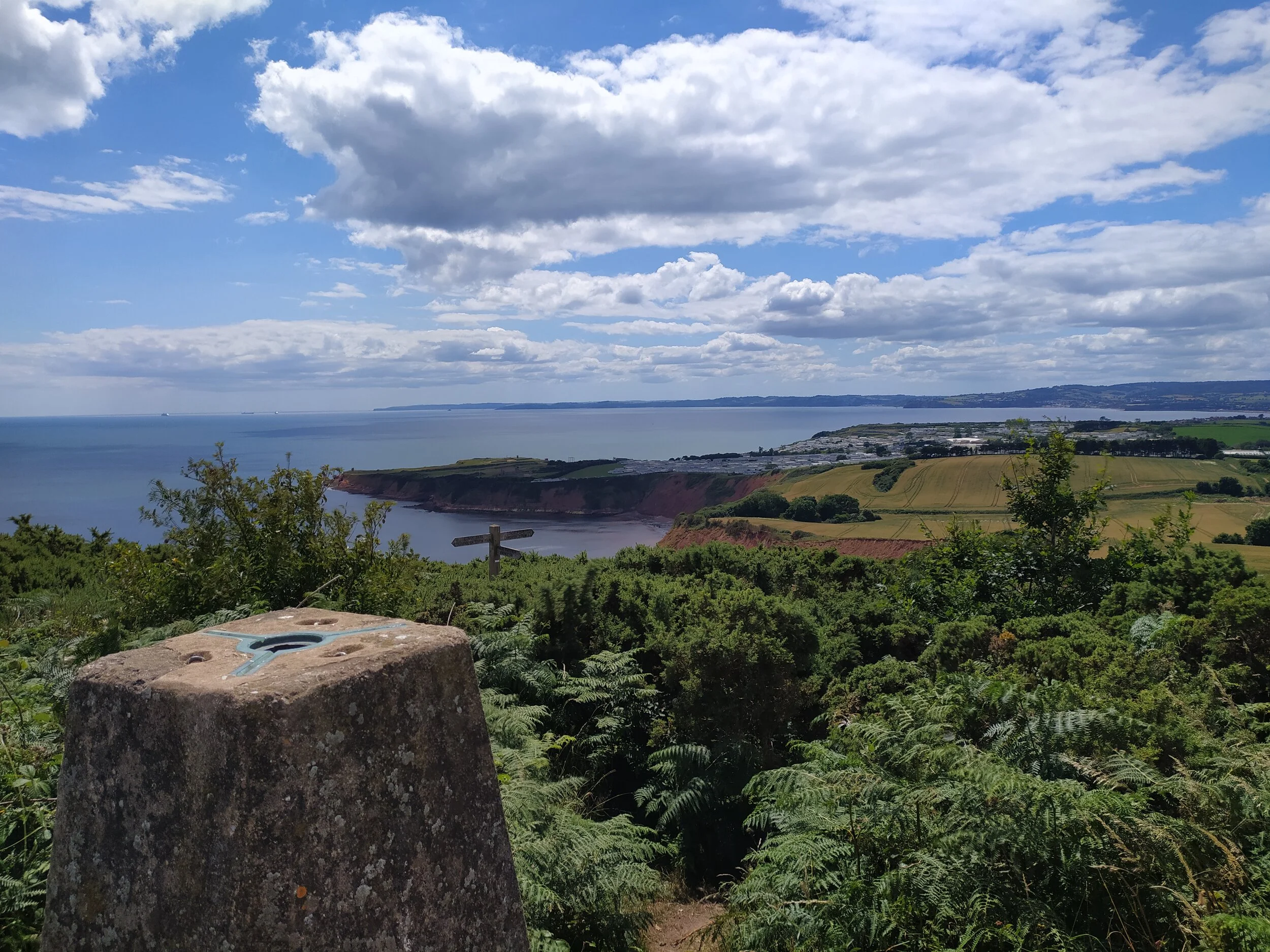
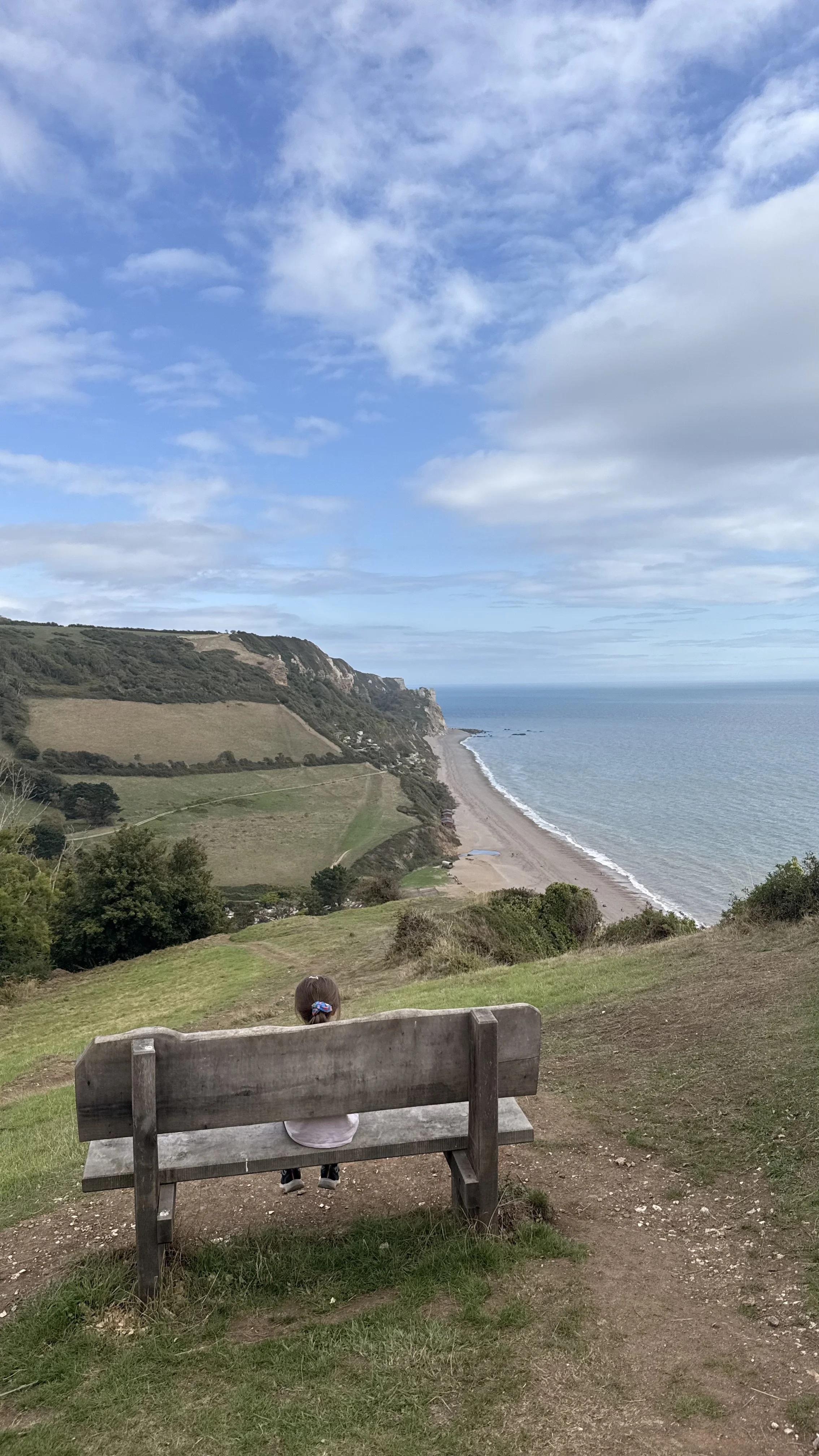
You’ll soon pass a bench, to the right oh which is a narrow path leading to a trig point, this is West Down Beacon. It’s worth standing here for a moment to enjoy the panoramic views before heading back down onto the coast path. Once you reach the signpost at the end of this path, turn left, taking the route marked ‘Budleigh Salterton’. Follow this stoney path, but be sure to take in the views and wildlife along the way. When I did this walk recently in the summer I saw so many Swallows dipping down in front of me, I heard Stonechat amongst the gorse and ferns, a Bullfinch calling out in the distance and I was even lucky enough to spot a Dormouse amongst the grass on the path! Be sure to spot Budleigh Salterton’s famous Pine trees up ahead before they disappear when the path takes you under shaded tree coverage. Here, I normally hear lots of Goldfinches chatting away to each other.
We’re taking the path to Budleigh Salterton
The South West Coast Path
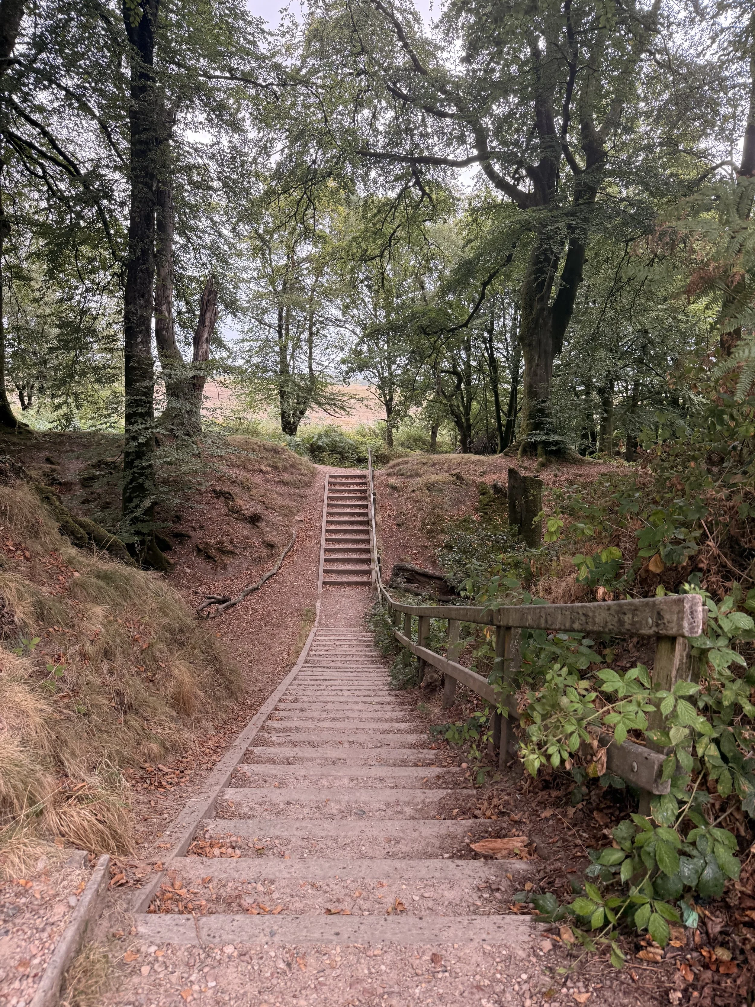
When you reach a post with two yellow arrows, take the path on the left with some steps leading up, once again to the golf course. As this path opens up, keep the golf course on your left as you pass another post on your right, where soon this path leads you onto a residential street. From here, take the road on the left down Links road, passing the Golf Club entrance and car park on your left. This road will take you down between some trees, (there is no pavement on this stretch so be aware of any cars that may pass) where it will then open up onto a residential street again. At the end of this road you’ll meet the B3178, the main road through Budleigh Salterton. Cross this busy road and take the little steps into the green wooded area, by the end of summer the ground here is covered in pine cones. Once you meet the tarmac footpath, turn right and continue to the end of the green space.
A shaded section of the Coast Path
The steps leading back onto the golf course footpath
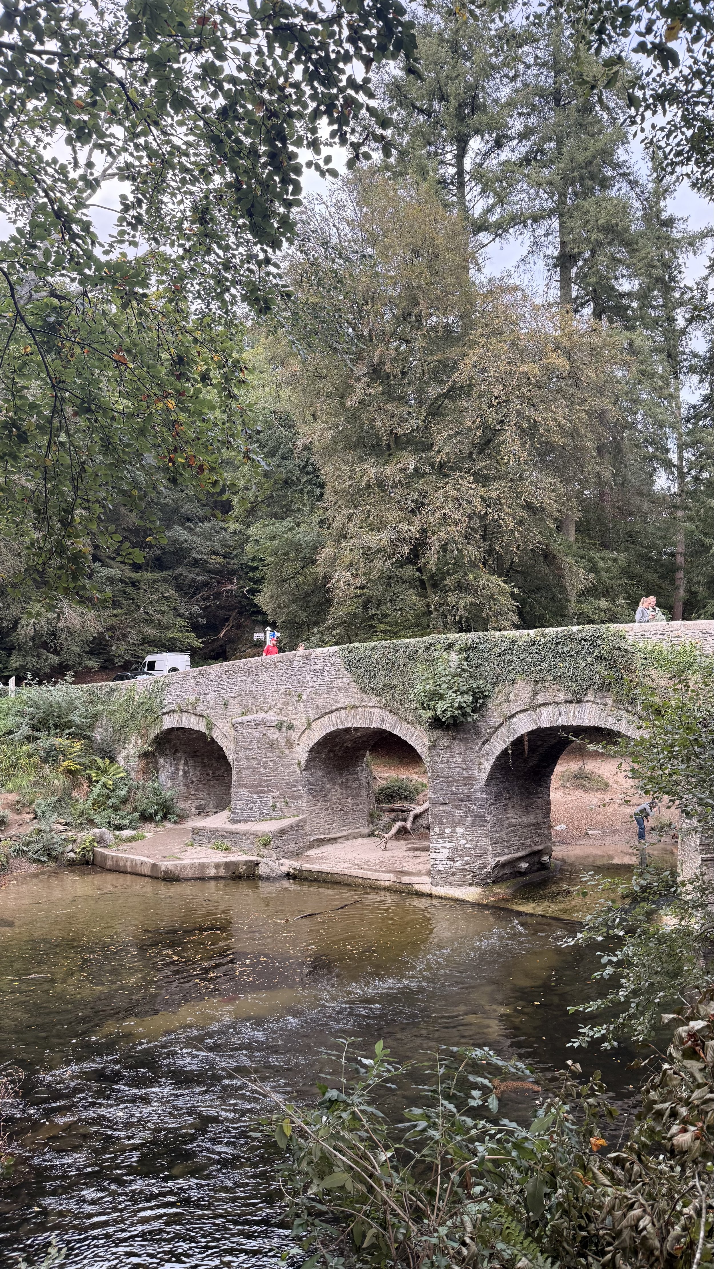
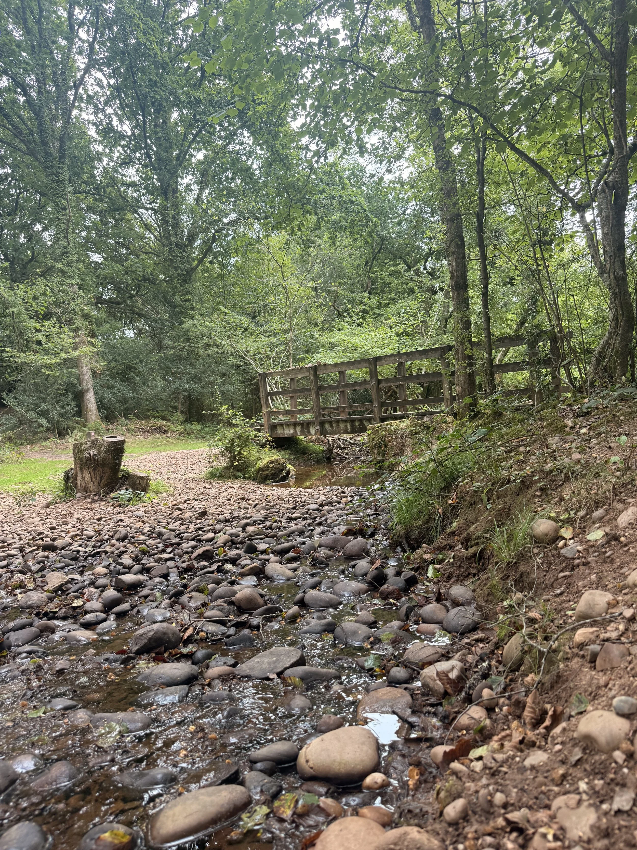
Turn left down ‘Halse Hill’ where the first house you pass on the right has some cuddly toys greeting you on the fence! This lane soon becomes shaded by trees as you descend down the hill and then reach a ford. Cross the ford via the bridge (unless you don’t mind getting wet feet!), and carry on to the end of this road. At this point you can choose to carry on to the left down Knowle Road, or take a quick detour up ‘Dark Lane’, the lane that carries straight on. This sunken ‘Holloway’ is worth exploring, with impressive thick tree coverage and high walls of sandstone carved with people’s initials, it was believed to have once been a smugglers route. Once you’ve had a look round, turn around and go back down to the junction, turning right to carry on with our circular route.
Once back on Knowle Road, you’ll pass a quaint cottage on your right, continue up the hill past hedgerows then houses on your left, where you’ll then go down the hill passing houses on both sides before meeting a main road at the end.
Crossing the bridge at the ford
The impressive Dark Lane
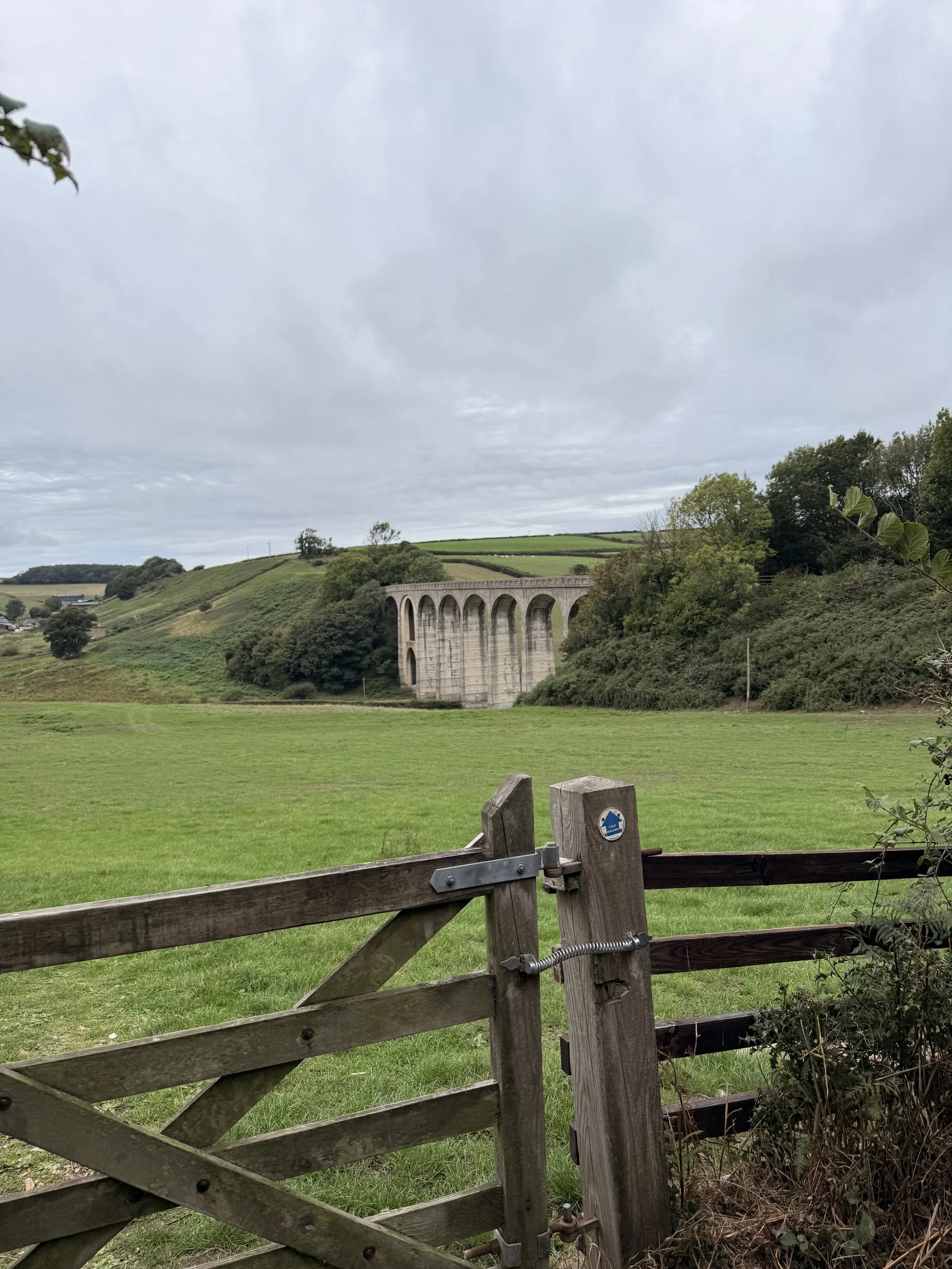
Cross this busy road and turn left, then turn right down Dalditch Lane (The lane opposite Knowle Garage). You’ll soon be walking past The Ford Estate, with a stone boundary wall on your left. On your right, there are beautiful Lillies growing in the stream by the entrance to Lily Farm Vineyard, from which I assume the Vineyard got its name. This can feel like a long lane, but it’s peaceful listening to the birdsong and gentle trickling of the stream. It won’t be long until you walk under a very tall old railway bridge, which used to carry the railway line from Exmouth to Budleigh, and onto many other destinations. It’s now a shared cycle and footpath which we will be joining later.
The old viaduct
After passing under this bridge, the stream on your right will sound louder as the lane turns off to the right. We aren’t going that way, instead take the gravel path on the left. At the right time of year a fair number of butterflies fly around this path, attracted to the Buddleia that grows here. Once you reach a gate at the end of this path, enter through it and turn right, joining the old railway line we walked under earlier. Be aware of any cyclist that will also be using this popular path between Exmouth and Budleigh Salterton.
The shaded cycle path in Summer
One of the old railway bridges
This old railway line is a lovely walk in all seasons, especially in summer when the dappled light shines through the trees onto the path, and in autumn when the trees put on a show with their changing colours. This area is lovely for wildlife spotting, Robins hop along the path in front of you hopeful for any food you may have, Blackbirds and Wrens scurry across the undergrowth by the trickling water, and I sometimes hear a group of Long Tailed Tits calling out to each other in the trees above. In the past I've seen deer running across the path ahead and into the woods, as well as little mice doing the same thing but in a less obvious way!
This path is shaded from the heat in Summer
Leaving the old railway line at Castle Lane
Once you walk under the second (and last) bridge, look out for a blue sign pointing left saying ‘Castle Lane’. Take this path and you will soon be walking alongside the last bridge we just walked under. There’s an information board close to the roadside, detailing more on the disused railway line, explaining how it closed in 1967 and reopened as a cycleway in 1998. As you reach the road, you should recognise that this was where we first began the walk on Castle Lane.
If you enjoyed this walk, I have previously posted a different one that starts at the same location but loops round via Exmouth instead of Budleigh, which is equally lovely.
Information about the old railway line
The Dormouse I saw on the coast path
Pebblebed Heaths Circular Walk
This walk starts at Squabmoor (free) car park on the Pebblebed Heaths, just on the outskirts of Exmouth. (What3Words: ///blushes.renting.optimists) It’s just under 3 miles long and dog friendly with dog bins at the beginning of the walk and half way along. My 6 year old daughter has no trouble doing this walk but the cafe stop at the stables definitely helps! I would advise wearing trousers for this walk due to a couple of narrow paths with gorse and the chance of ticks, especially in the Summer. Walking boots are a good idea, although I do this walk in trainers in the drier months. There is a little stream you need to cross, so be aware you may get wet shoes. This walk is hilly in places and unfortunately not suitable for wheelchairs or pushchairs.
The start of the walk, Squabmoor Car Park
First glimpse of Squabmoor Reservoir
From the car park, follow the path with the blue arrow pointing down through the trees. This path is little uneven in places due to the tree roots underfoot. Continue following this path where soon you’ll pass a sign saying ‘Squabmoor Reservoir Course Fishery’. You’ll eventually arrive at a wooden fence informing you that you’re now walking alongside Squabmoor reservoir.
Checking for fish, Squabmoor Reservoir
The Lilypads in Spring
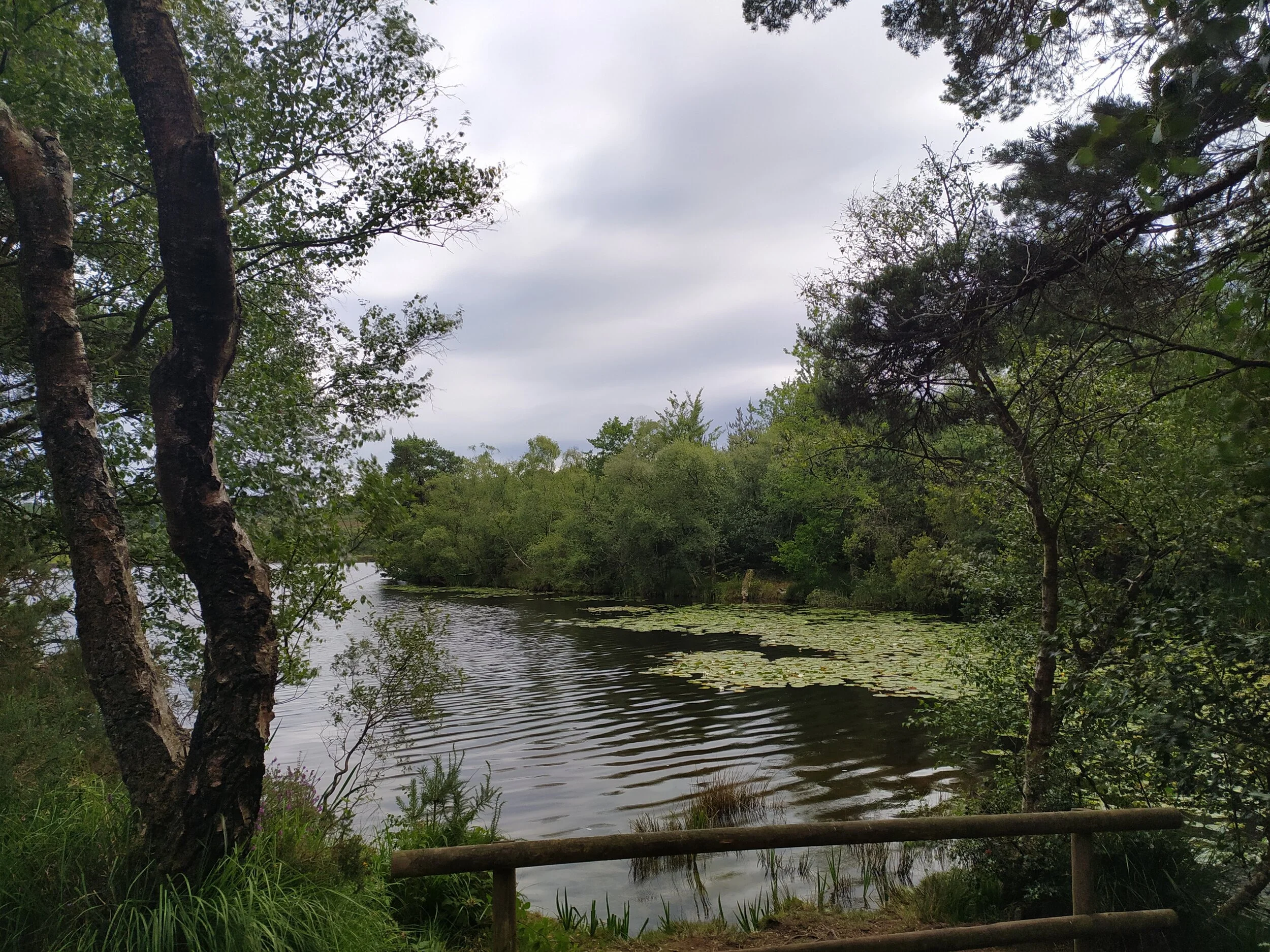
Carry on straight along this path, keeping the water on your right, if you do this walk in Autumn you’ll be treated to a range of different mushroom species along the way. In the Spring and Summer months there are beautiful lillies on the water, along with Mallard and Tufted Ducks and Canada Geese. Once you get to the ‘reservoir fishing car park’ follow the trodden path down through the middle of the meadow towards some trees (not the path to the left of the meadow). In the Summer this meadow is alive with a range of butterflies and moths feeding on the wildflowers, when we did this walk recently we saw so many Painted Lady butterflies here as well as the summer sound of grasshoppers around us.
The path through the meadow
Arriving at the stream
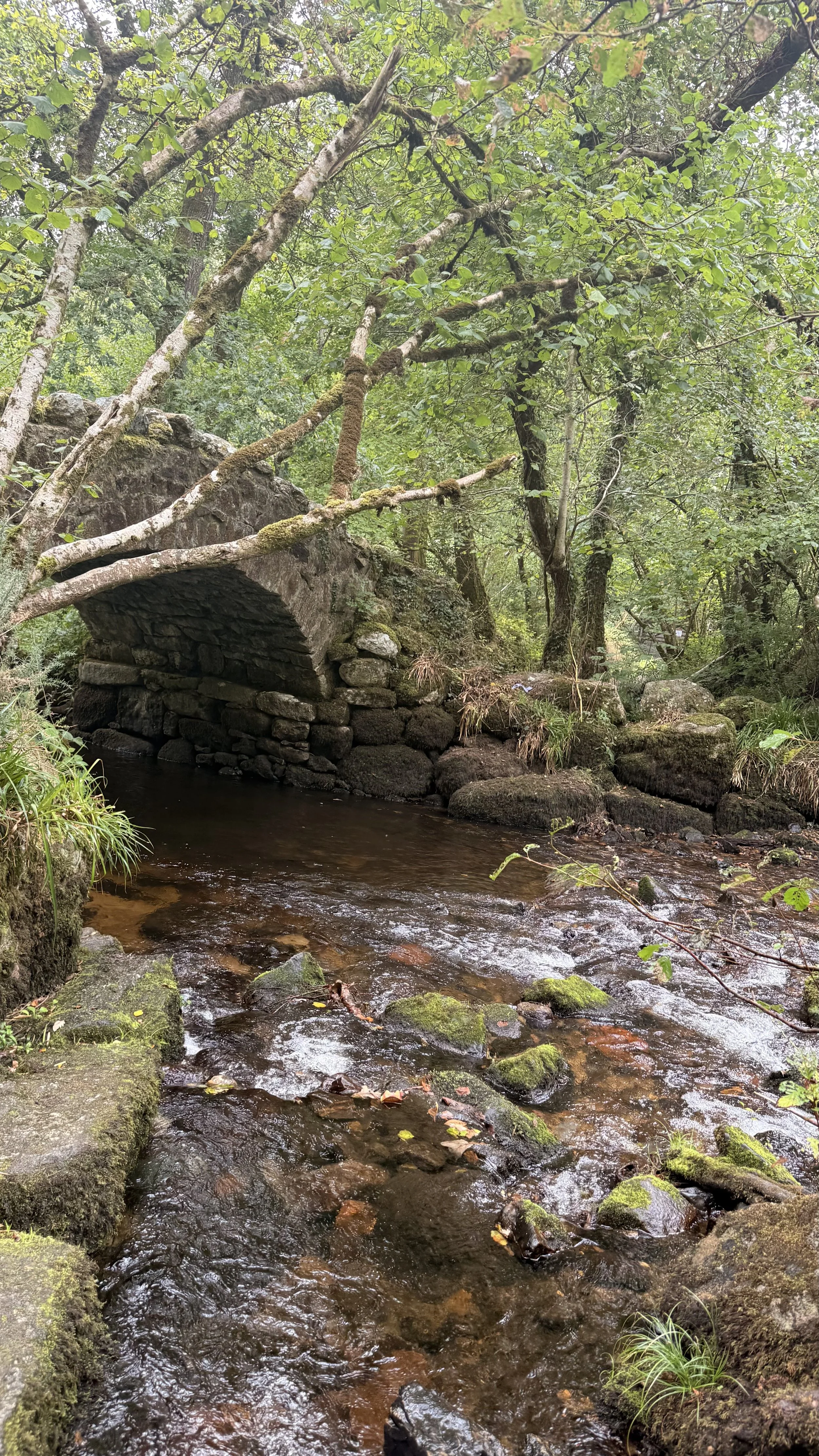
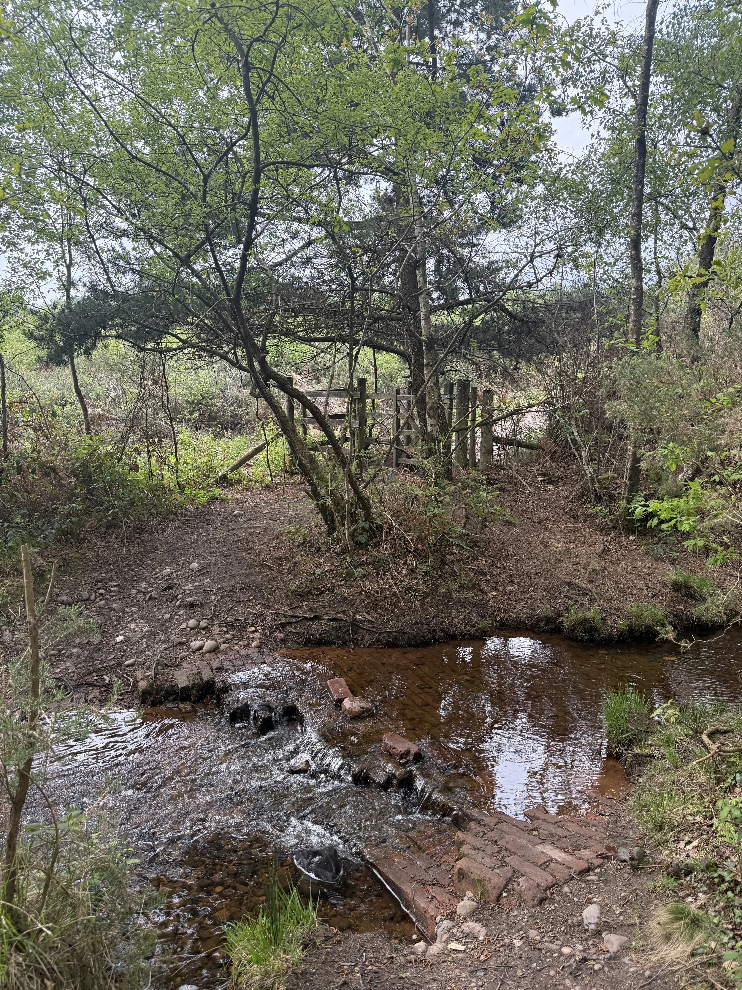
You’ll know if you’ve taken the correct path as you’ll arrive at a stream amongst the trees, this is the bit where you might get wet feet! Cross this stream directly opposite the kissing gate on the other side of the water where you’ll see a brick path under the water and some (unsteady) stones that can help you across. Once through the gate, you’ll now be walking onto Dalditch Plantation, from here, turn left and follow this stony path towards the trees in the distance. Both sides of this path will have water trickling alongside it, meaning it can get a little muddy on the path in certain times of year. In the Summer months, cattle are sometimes put on this land to graze the heaths so be aware if you have dogs off lead at this point.
Time to cross the stream!
The gate to the wooded area
When you reach the gates to the wooded area, enter through here and follow the path between the trees. This area comes alive with birdsong especially in Spring when you can hear Blackcaps singing, the repetitive call of Chiffchaffs and the high pitched calls of the Goldcrests and Firecrests. At the end of this woodland, you’ll come to a quiet lane (Dalditch Lane), turn right and walk up it, past some houses, including one named ‘Clover Cottage’. In the Spring this lane has beautiful bluebells and flowering Rhododendrons brighting up the roadside, continue on past the ‘horses and children’ road sign and you’ll soon reach a gate to Budleigh Riding School on the left. Feel free to have a cafe stop here, entering past the stables and arena to the beautiful building at the back named ‘Oak lodge Cafe’ (Note: Opening times vary but they usually open Wed - Saturday, be sure to check times on their website).
The path through the woods leading to Dalditch Lane
Cafe Stop, Budleigh Riding School
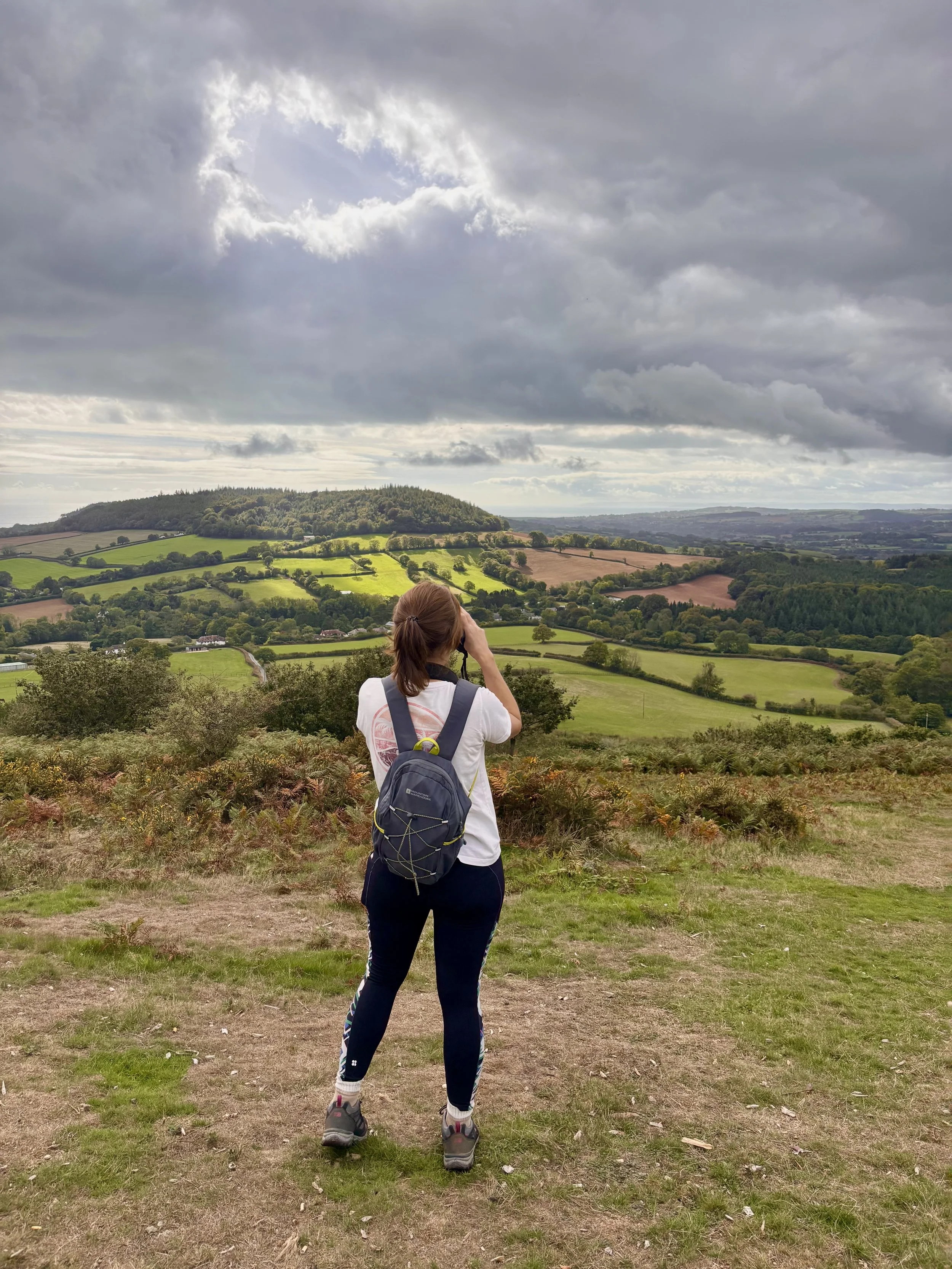
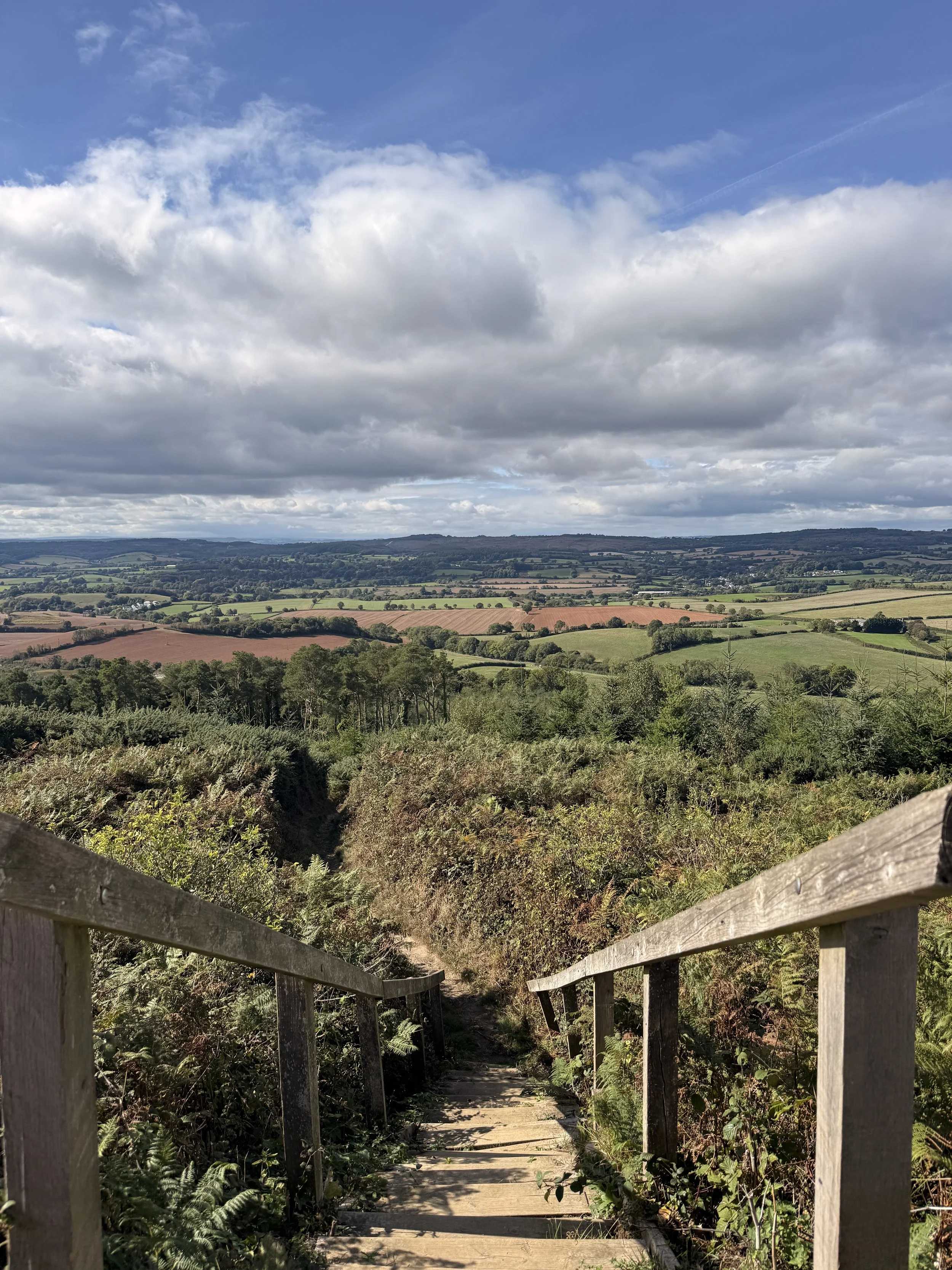
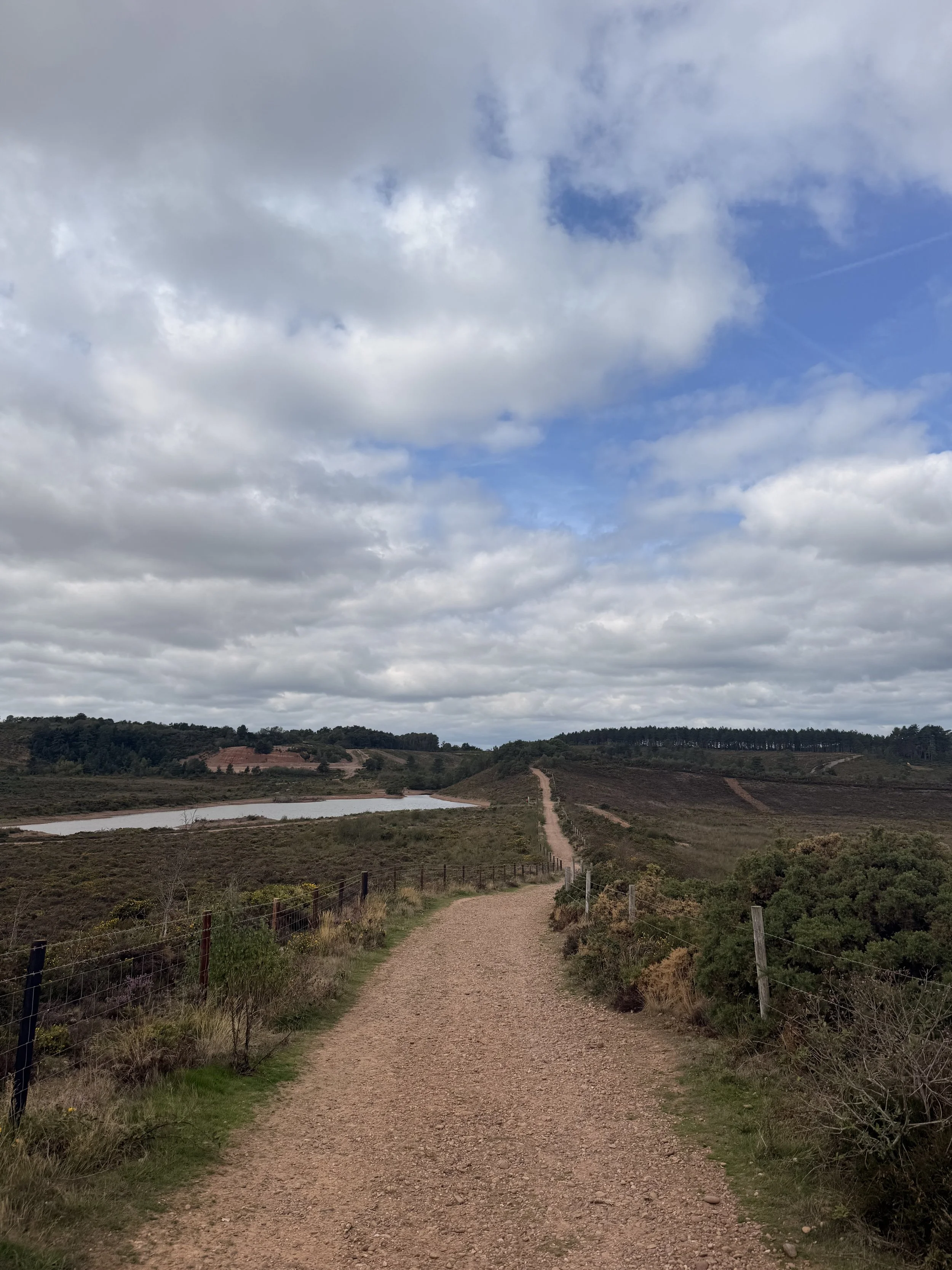
Past the riding school, continue up Dalditch Lane until you reach a little path on the right (after a lay-by) leading to a gate which opens up onto Dalditch Plantation again. Once through the gate, turn left and walk up the hill where you’ll have beautiful views of the common on your right. Ignore the gate at the top, instead turn right and carry on along the path. See if you can spot Squabmoor Reservoir where we first began this walk, and if it’s a clear day you may be treated to a sea view in the distance. When you spot a metal gate on your left, pass through it and immediately turn right where you’ll arrive at some steps and a kissing gate.
The path that leads back onto Dalditch Common
Views of the common, on a grey day
You’ve now arrived at Withycombe Common which is a haven for wildlife. Please be aware of any signs on the gate that alert you to keep your dogs on leads if its nesting season for ground nesting birds (typically March - August). This area of the common is home to a lot of wildlife. I’ve spotted Adders, Deer, Foxes, Common Lizards, Dartford Warblers, Yellowhammers and Stonechat along these paths. Turn right and follow the clear path down the hill. This part of the walk can feel long but be sure to listen to the different bird calls. On a Spring day I heard a Mistle Thrush, Willow Warbler and Tree pipit and saw Buzzards circling above being harassed by crows.
Withycombe Common
Arriving at Bystock Pools
When you reach the bottom of this hill, ignore the path on your left and continue on where you’ll soon turn round a corner and walk up a stony path. Sometimes I hear green woodpeckers in this area so be sure to listen out of their laughing call. Carry on walking until you reach a grassy patch on your right that takes you down a narrow path between gorse and heather where you’ll soon meet a kissing gate that leads to a road. Crossing this road will take you to a sign informing you that you’ve arrived at Bystock Pools.
The boardwalk along Bystock Pools
The lilypads at Bystock
Follow this path alongside the pond, as you cross the bridge you’ll notice Beavers have made a dam here, the path then turns into a boardwalk with benches inviting you to sit and enjoy the peaceful view. At the end of the viewing platform, pass through the kissing gate and walk over the little bridge and up some steps which opens up onto heathland. Follow the path to the left where you’ll soon be walking alongside a metal fence on your right. In the Summer I usually hear Spotted Flycatchers in this area, sometimes seeing them fly down catching insects before returning to their tree branches above. As you walk this path, you may notice wood ants in the Summer months crossing the path to their nests on the right. Soon you’ll arrive at a tall kissing gate, exit the reserve here and follow the path ahead through the trees where soon it will open up onto the heaths again.
The bridge at Bystock Pools
Walking the Heathland at Bystock
Continue straight up a slight incline until you arrive at a crossroads on the path. Turn right and follow the path down, keep an eye out for those sea views again. Soon you’ll be given an option of two paths, take the one on your right with the yellow arrow pointing in the direction we’re going. It won’t be long before you reach the end of this path, where you should soon recognise Squabmoor Car Park on the other side of the road where we first began.
The Map in Squabmoor Car Park
Squabmoor Car Park in sight