Budleigh Salterton Coast Path - River Otter Loop
This coastal walk starts in Budleigh Salterton Lime Kiln Car Park (what3words ///cargo.warms.chariots) and is just under 6 miles/9.6km long. It will take you alongside the River Otter at the beginning and end of the walk, so great for the wildlife lovers. Sturdy footwear is advised, but in the drier months I’ve done this walk in trainers. There are no cafe stops or toilets along the way, but both are available on the seafront close to the car park.
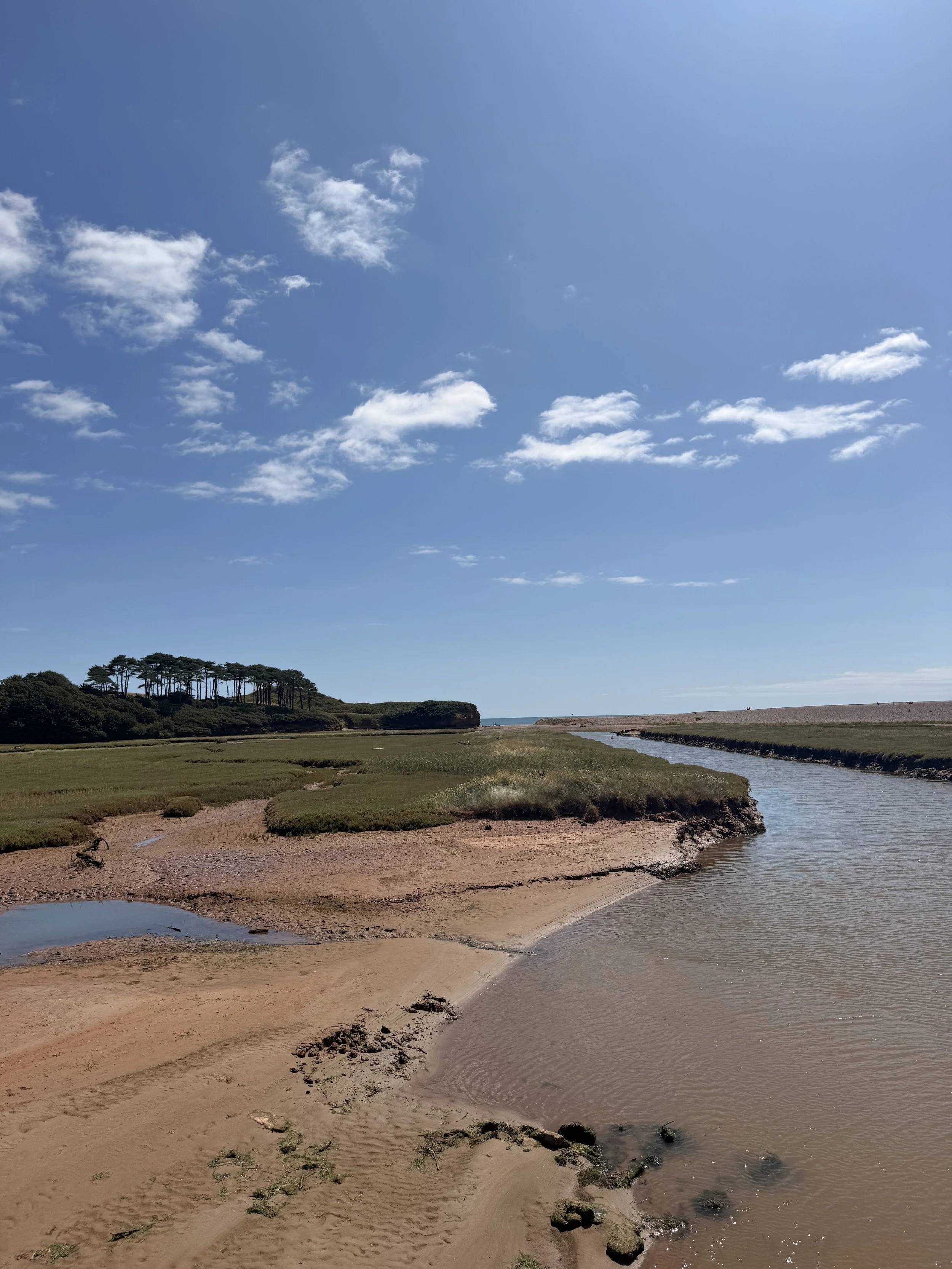
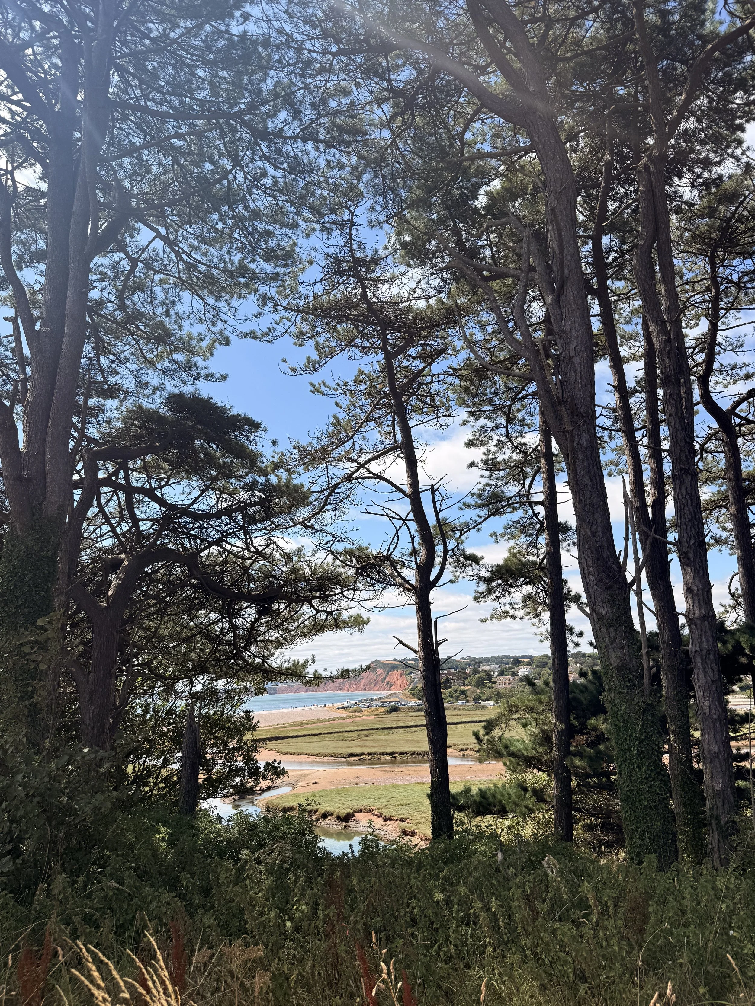
The view of Budleigh Pines over the Otter Estuary
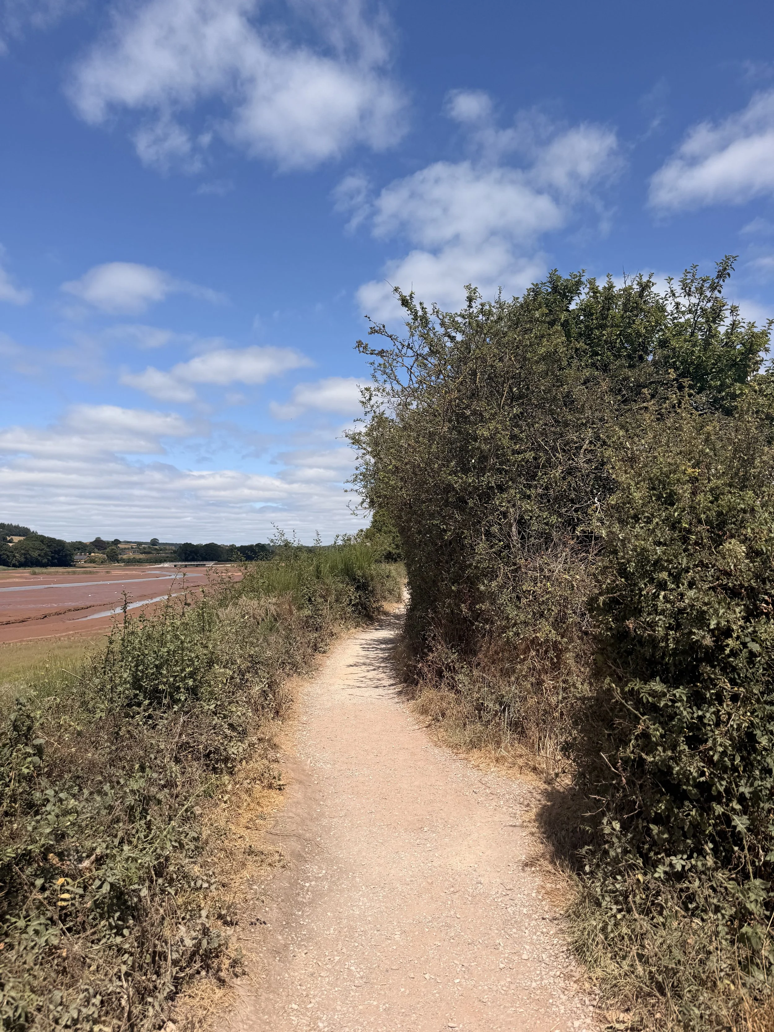
The Path leading from the car park
From the car park, take the bridge over the Otter Estuary which will then join a gravel path with wetland on the left and reed beds on the right. We usually spot grey heron, little egrets and sometimes kingfishers along this stretch, as well as hearing the loud call of the cetti’s warbler, goldfinches and the noisy black headed gulls. Once you reach the end of this stretch of path, turn right, taking the route signposted ‘Coast Path, Ladram Bay 3m’. Here you’ll be walking over a bridge, keep to the right as you walk round the bend where you’ll then arrive at a road leading to Pynes Farm Shop. Ignore the entrance to the farm shop, instead turn right up a footpath alongside a field with another signpost for ‘Coast Path’. In the summer months, keep an eye out for swallows and house martins that dip down over the water by the bridge and fly over the reed beds and fields in this area.
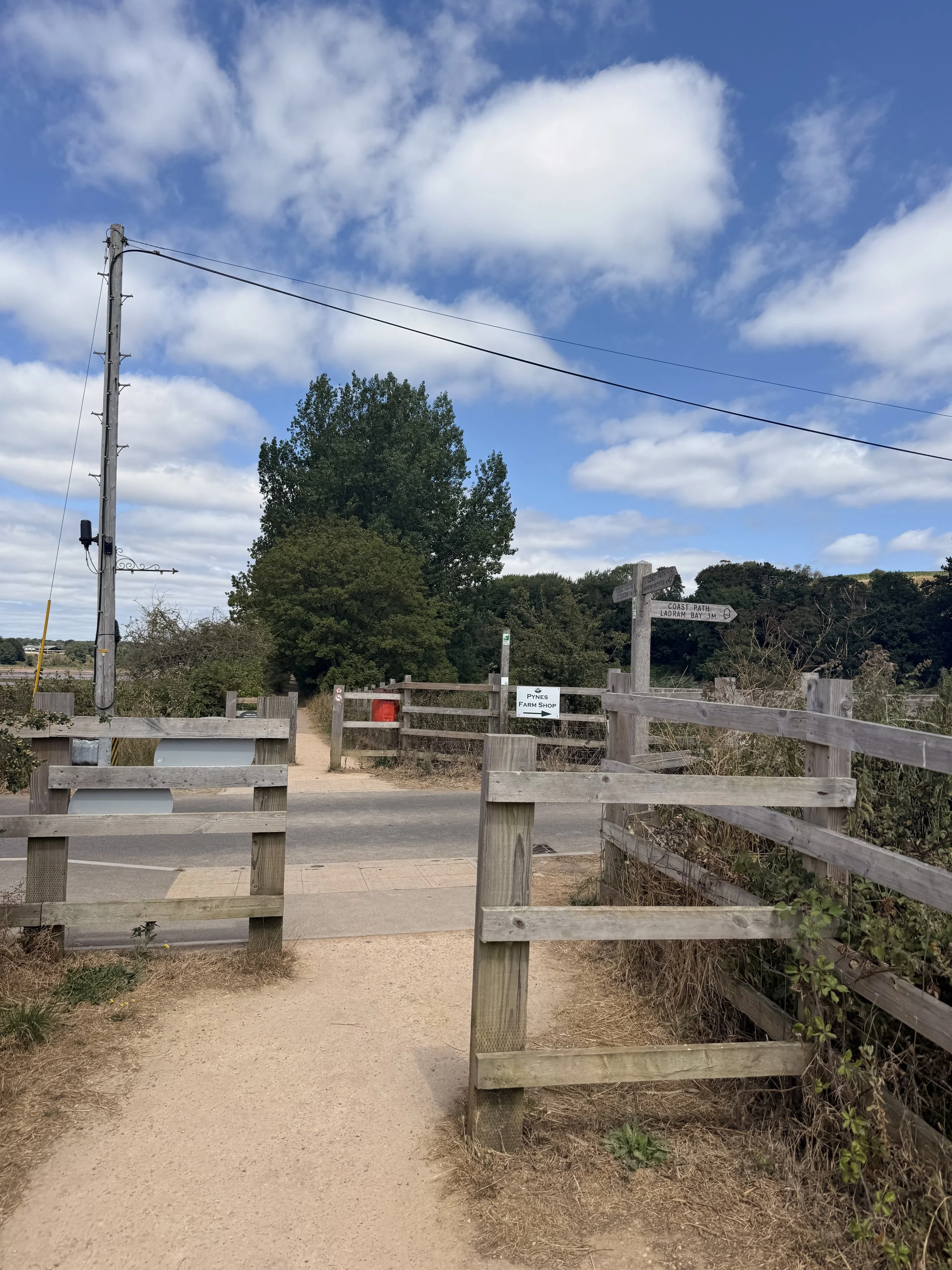
At the end of this path, turn right to join the coast path
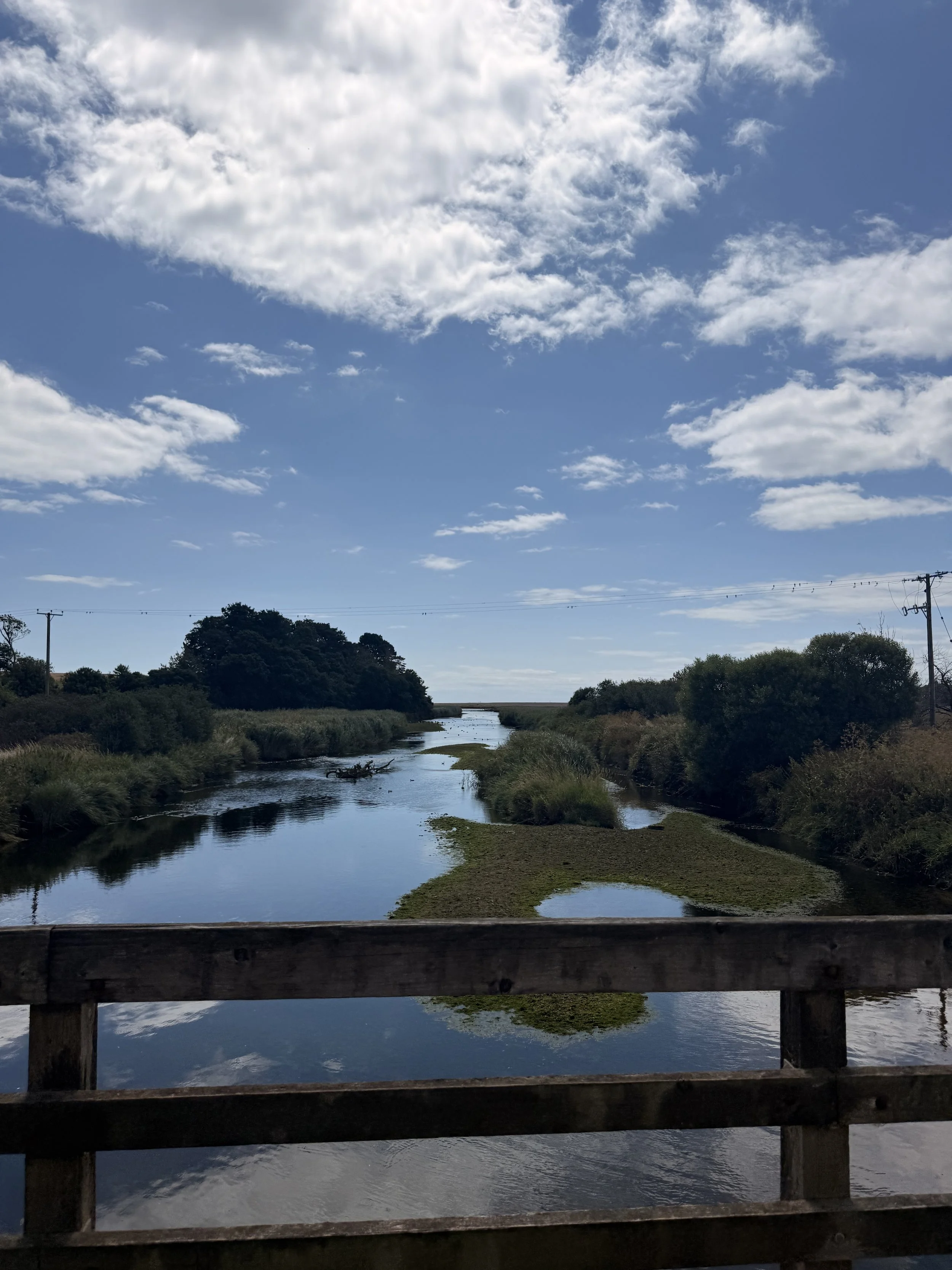
Views over the bridge, on summer evenings, Swallows gather here
This path will take you down some steps, over a little bridge and up into another field. Sometimes you can spot Skylarks flying above these fields where they ground nest, or rabbits running off into the undergrowth to the right once they notice you. Eventually you arrive at the top where the iconic Budleigh pine trees proudly stand on the right, it’s worth taking in the views of Budleigh beach before carrying on following the path, now to the left.
A view of Budleigh seafront from the coast path
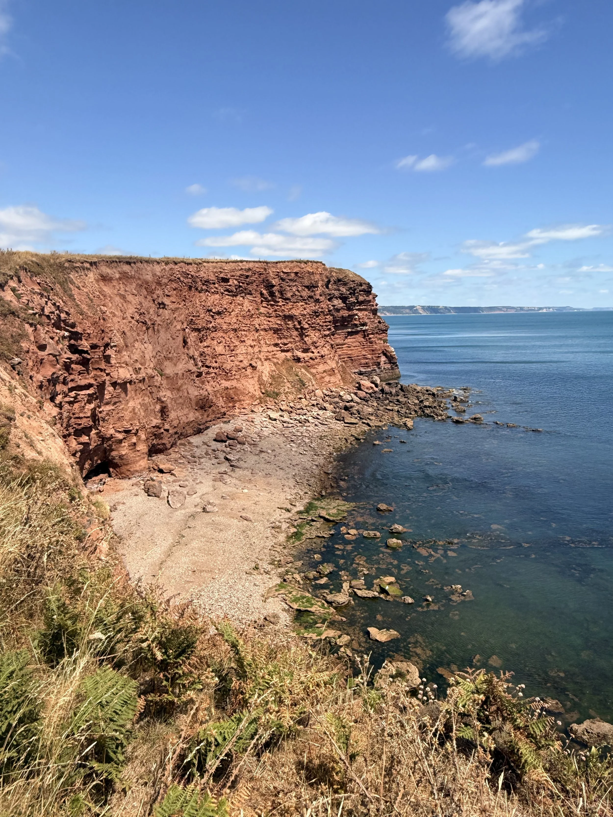
Stunning views from the coast path
As you follow the coast path, you’ll pass a cove, on a clear day you should be able to see views in the distance of the rest of East Devon from Sidmouth and all the way along to the Dorset Coastline including the Isle of Portland. The terrain along this stretch of the walk will start to get a bit challenging, with a lovely hill to walk up. You will soon be rewarded for your efforts with some benches to rest on when you arrive at Brandy Head Observation Post (which is now available to book as a holiday stay). Take advantage of reading the interesting information boards about the local wildlife here and the history of the observation post before setting off again on the coast path.
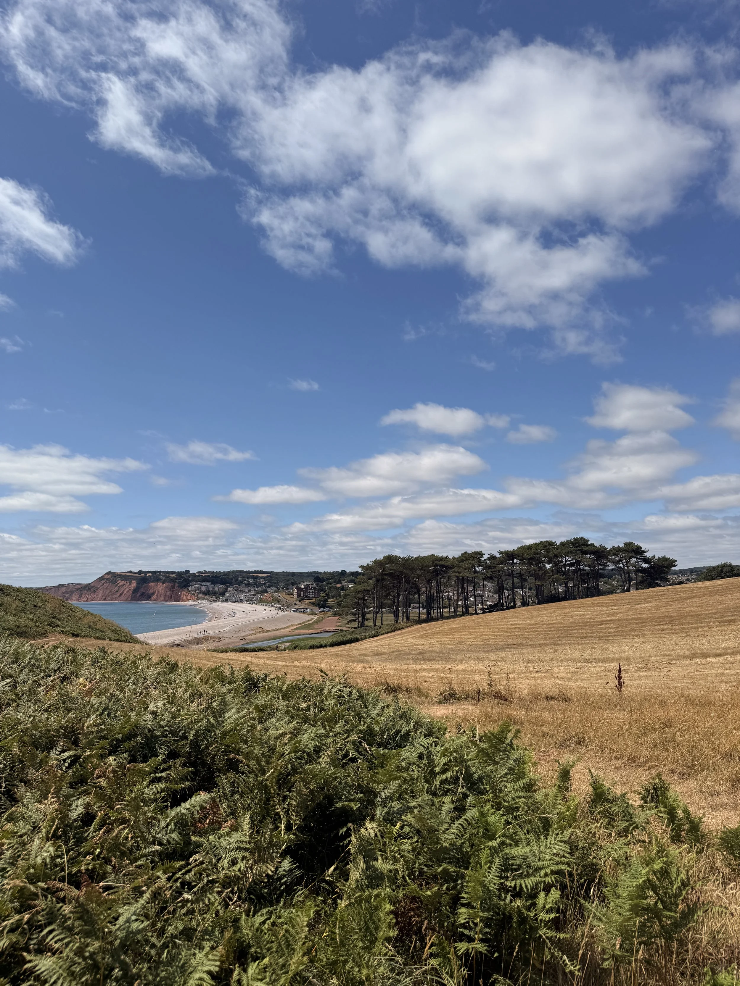
Looking back at Budleigh beach and Pines
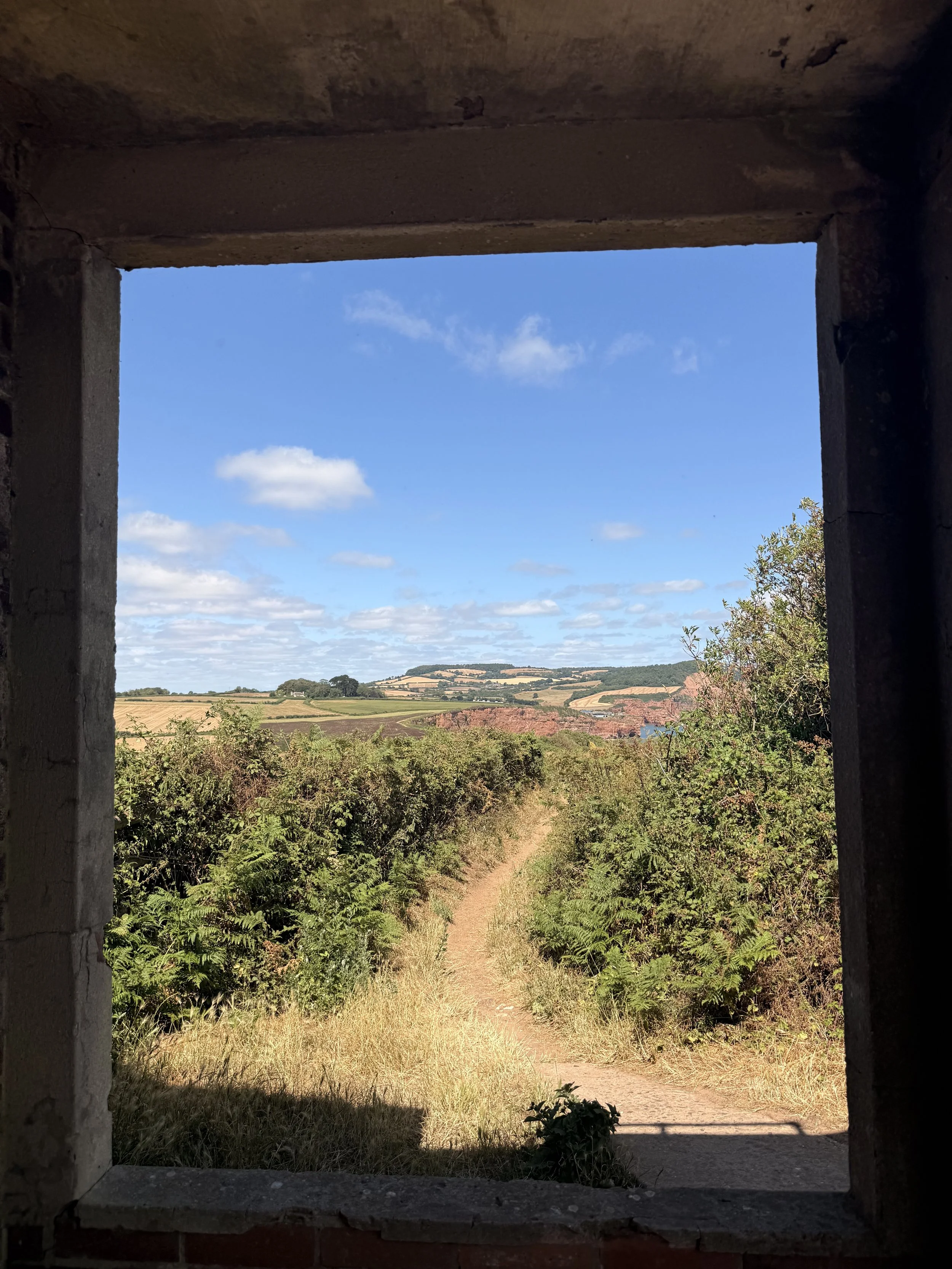
Enjoying the view from Brandy Head Observation Post
As you continue on the now narrow coast path, be careful of uneven stones underfoot, but do enjoy the sea views with Ladram Bay Stacks coming into view now. Once you arrive at a forked path with a finger post, turn left following the path pointing towards ‘River Otter’, this path is fairly shaded by the trees; very welcoming on a hot summer’s day. Once you pass through a metal gate at the end, it will open up into a small car park for the nearby treatment works. Continue along the gravel path and when you get to the end, turn left where the sign points to ‘unmetalled road’. As you reach the end of this road, turn right down another public footpath, this part does feel like it goes on for a while, but take the opportunity to listen and look out for birds and other wildlife. We saw a buzzard, plenty of butterflies (the hummingbird hawk moth being our favourite), heard chattering goldfinches flying over and a dragonfly kept darting along the path in front of us.
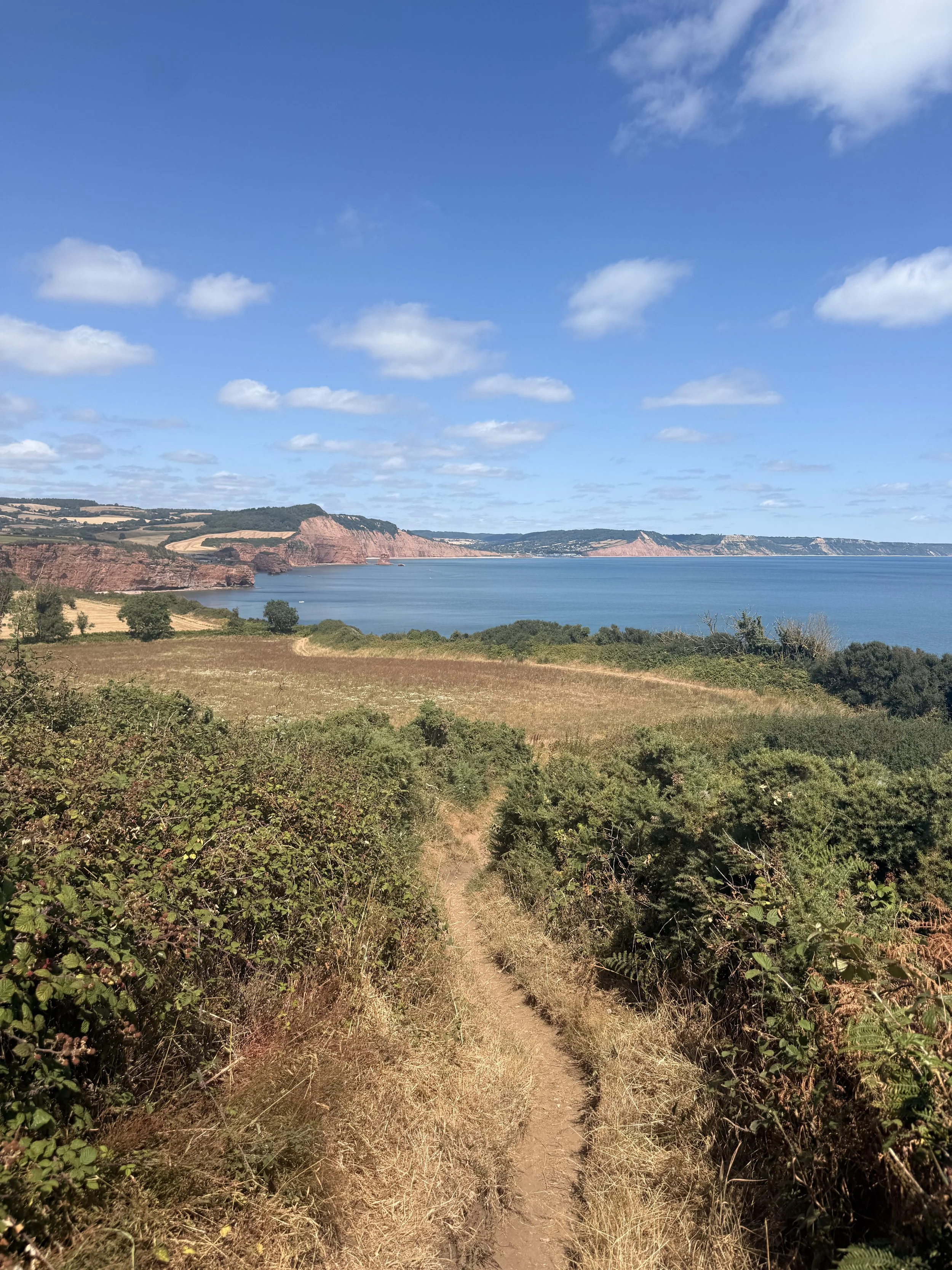
Coastal views and Ladram Bay Stacks
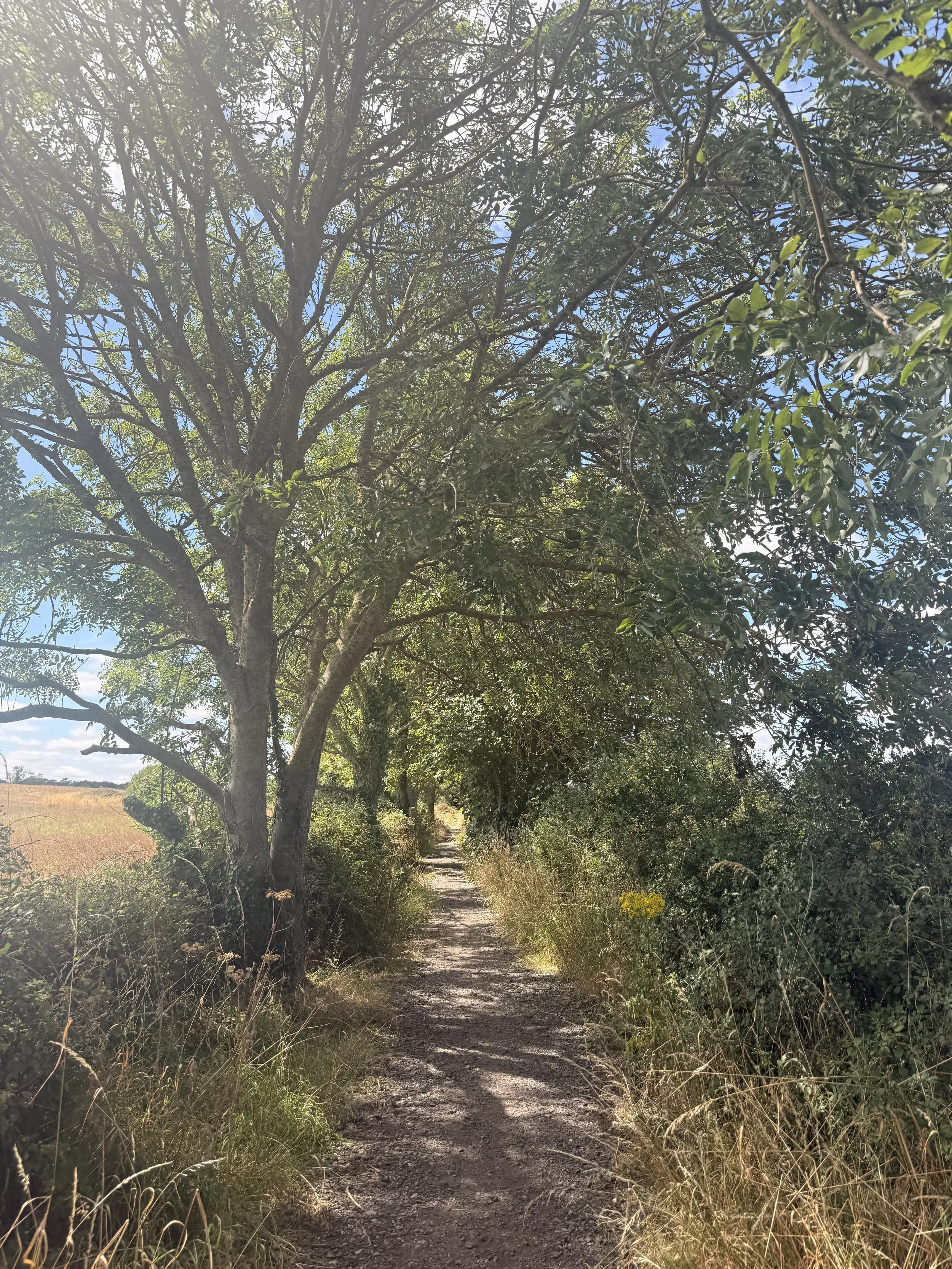
Leaving the coast path towards the River Otter
Once you arrive at a crossroads by a barn interestingly named ‘WH.Smith’, take the shaded path to the left that states ‘½ mile to Clamour bridge’; this will soon ttake us back on to the River Otter path. As you reach the end, pass through both gates and carry on following the track round the field boundary where you’ll meet another gate at the end. From here, turn right and walk up the slight incline until you arrive at two brick pillars, take the steps to the left and cross the bridge over the River Otter. Once over the bridge, turn left and continue on the dusty path keeping the river on your left.
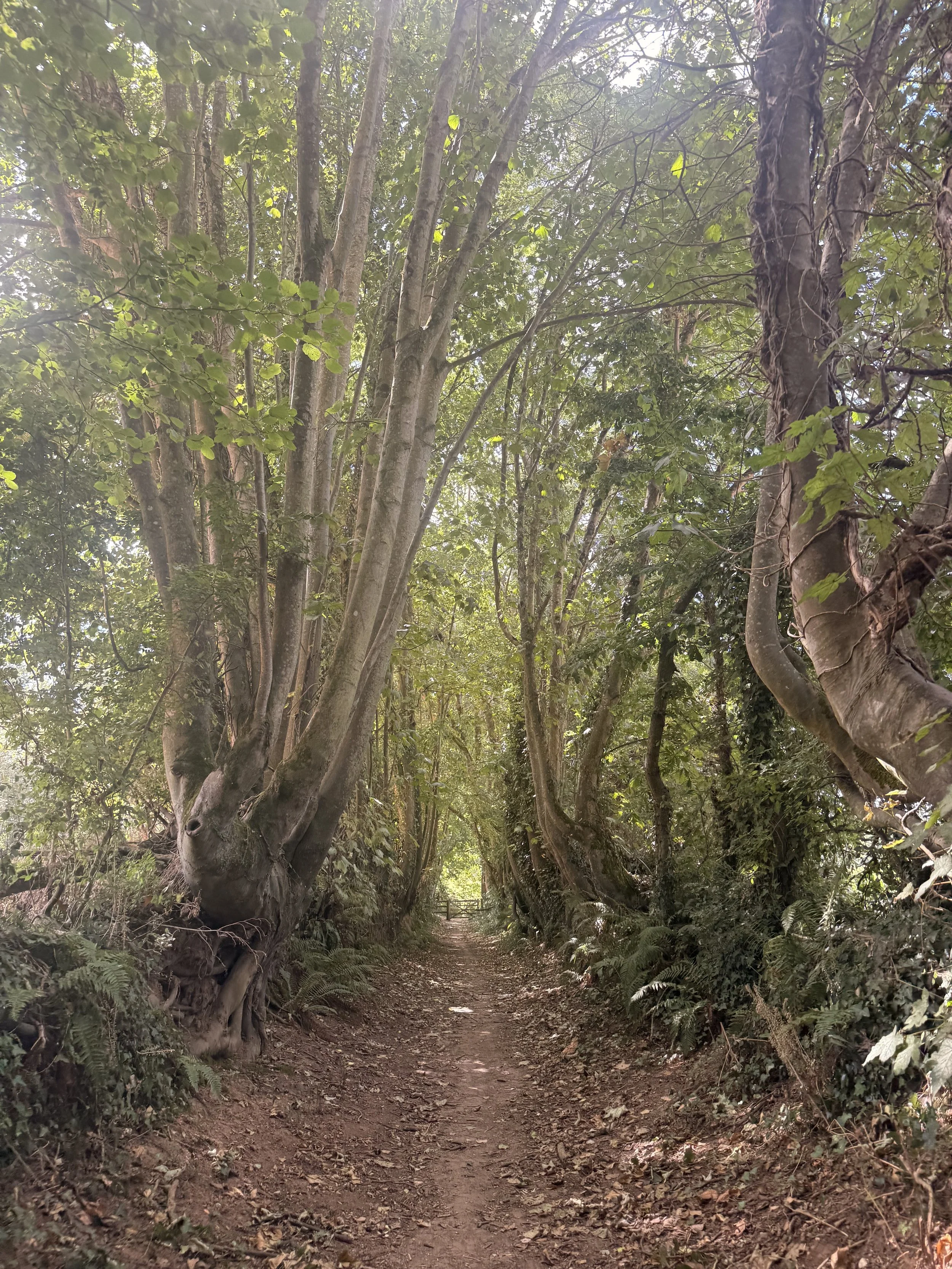
A shaded path close to the river
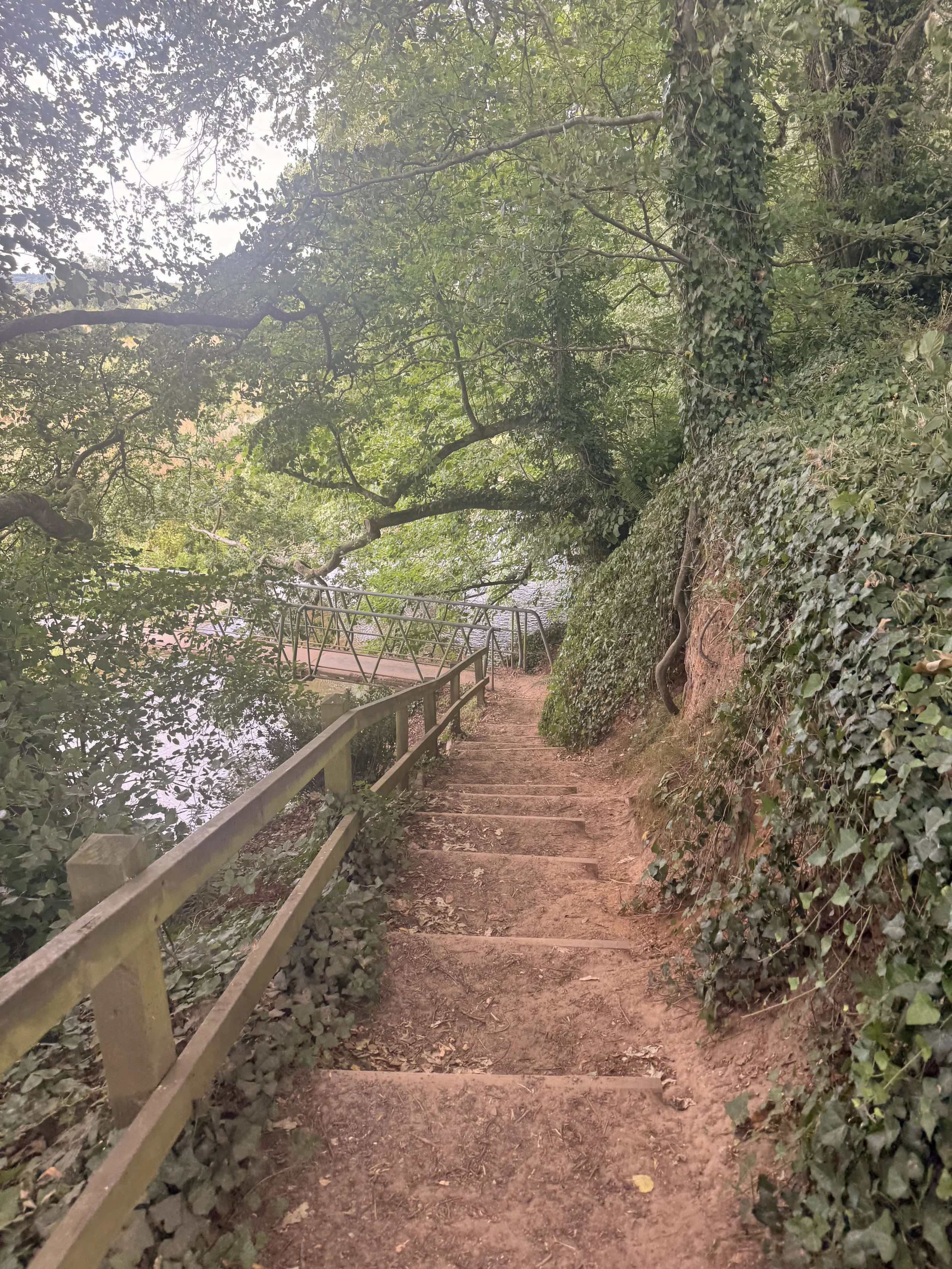
The steps down to Clamour Bridge
After a while of walking alongside the river, you’ll reach the end of this path, arriving at a gate. From here you can choose which way to head back. I’ll be choosing the path straight ahead, but you can also choose to turn right, and follow the path past the bird hides which then leads to the other side of the reserve. Around this area I’ve spotted Spoonbill and an Osprey before, have a look at the newsletter on the information board informing you of what wildlife has been seen here recently. Whichever way you choose to walk, you’ll soon arrive at South Farm Road Bridge (which has always been known as white bridge), if you chose the left path, you should now recognise the path at the beginning of the walk. Both ways will now take you back to the car park where there are toilets and a cafe available along the seafront, as well as a play park in the car park.
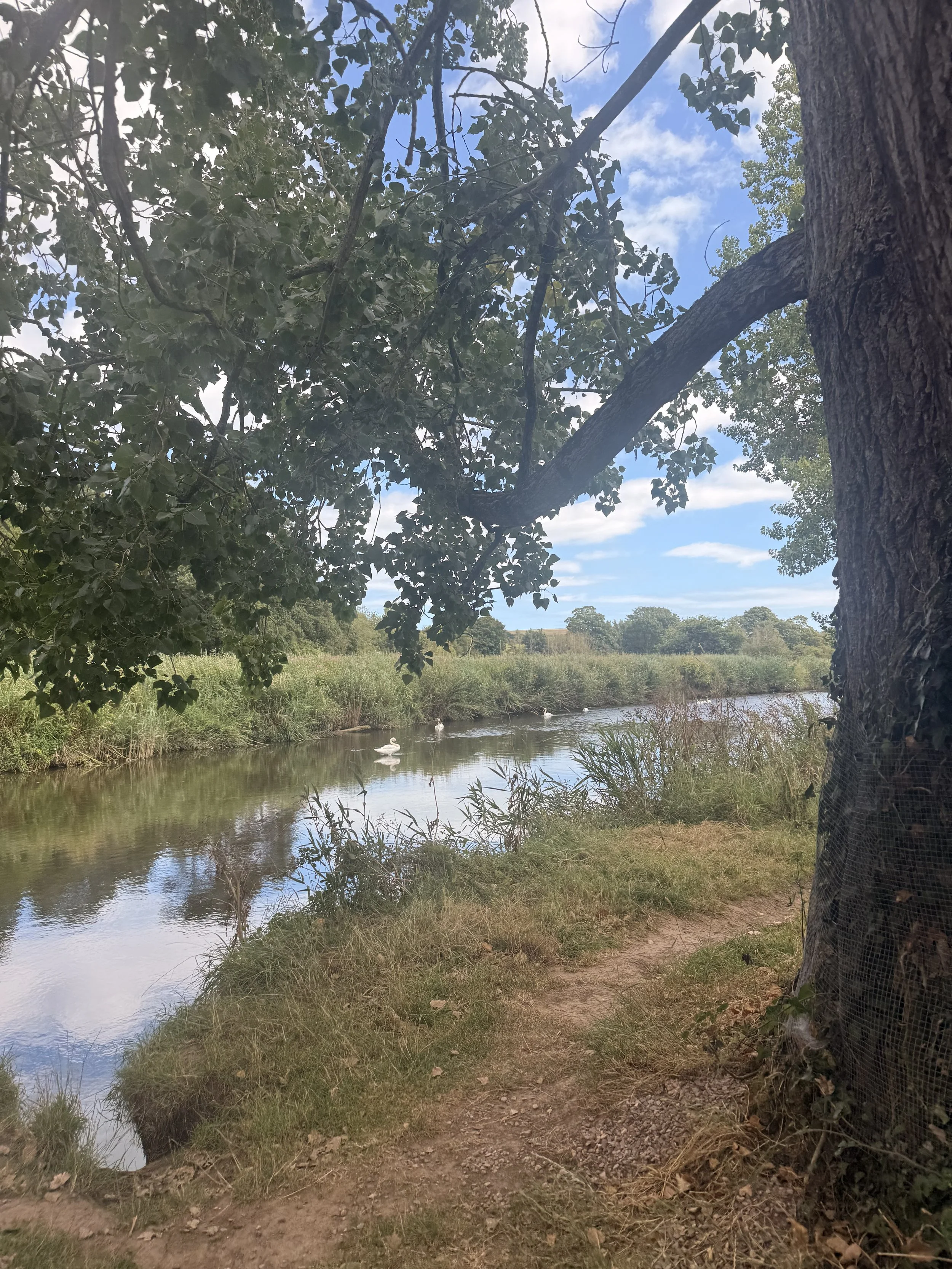
Swans on the River Otter
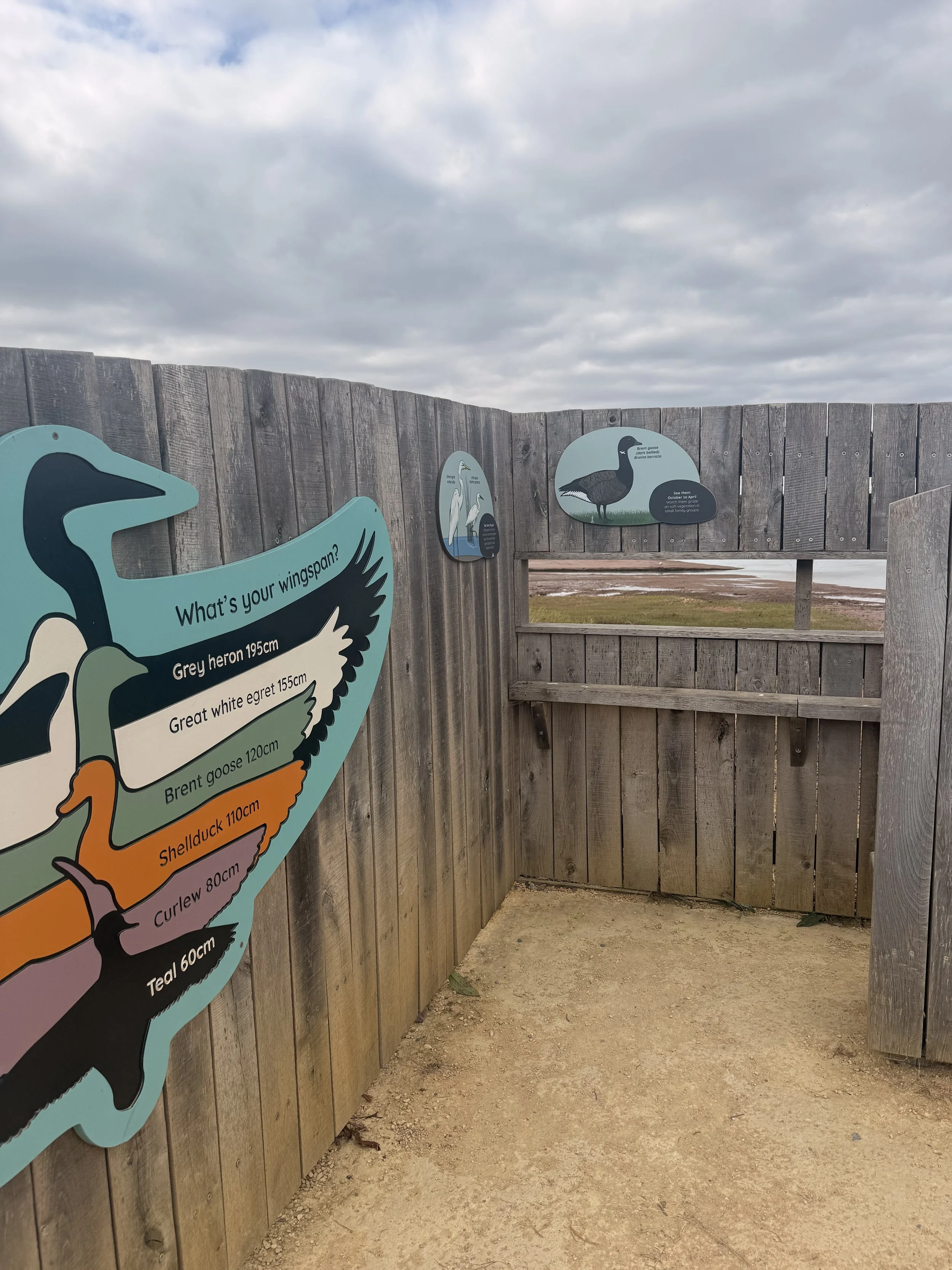
One of the Bird hides on the Otter Estuary Reserve