A selection of a few adventures and days out around Devon and beyond.
West Down Beacon Loop
This is a beautiful 4 mile walk along shaded footpaths and the South West Coast Path with stunning sea view along the Devon Coastline.
The walk starts at Castle Lane, just outside of Budleigh Salterton (what3words ///birds.muffin.thorax) and there’s plenty of roadside parking along the quiet lane here. Once parked up, walk down the road (opposite direction from the main road) where you’ll pass some houses on the left. Once you pass a house called ‘Oak Glade’ you’ll soon see a signpost ahead informing you of a public footpath. Take the path on the right which is signposted ‘West Down Beacon/Coast Path’ You’ll now be following a shaded path through East Devon Golf Club. As you walk along this path between the golf course, have a look to your left and enjoy the sea views in the distance, on a clear day you can see the white cliffs of Beer and Branscombe.
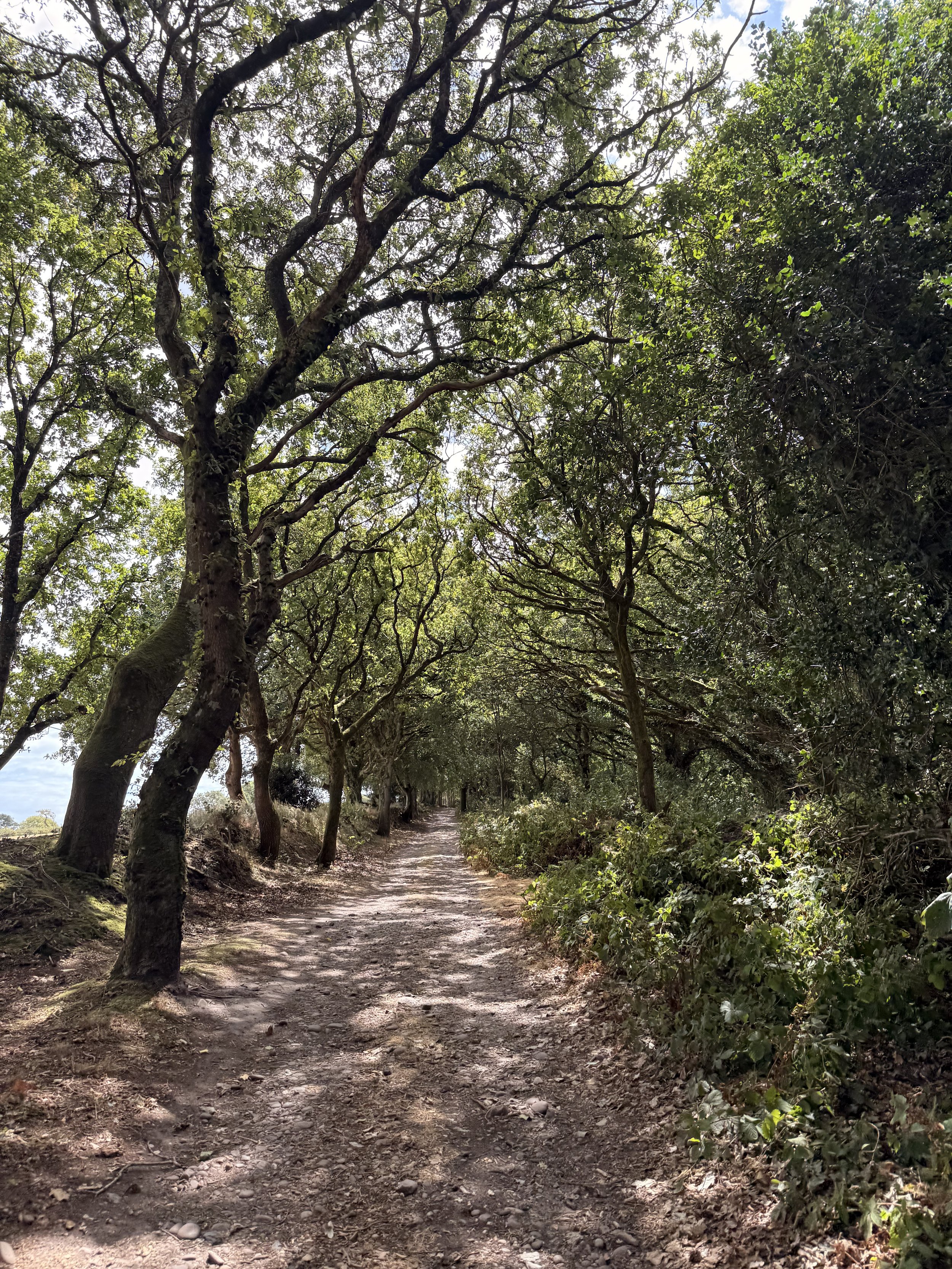
The shaded path through the golf course
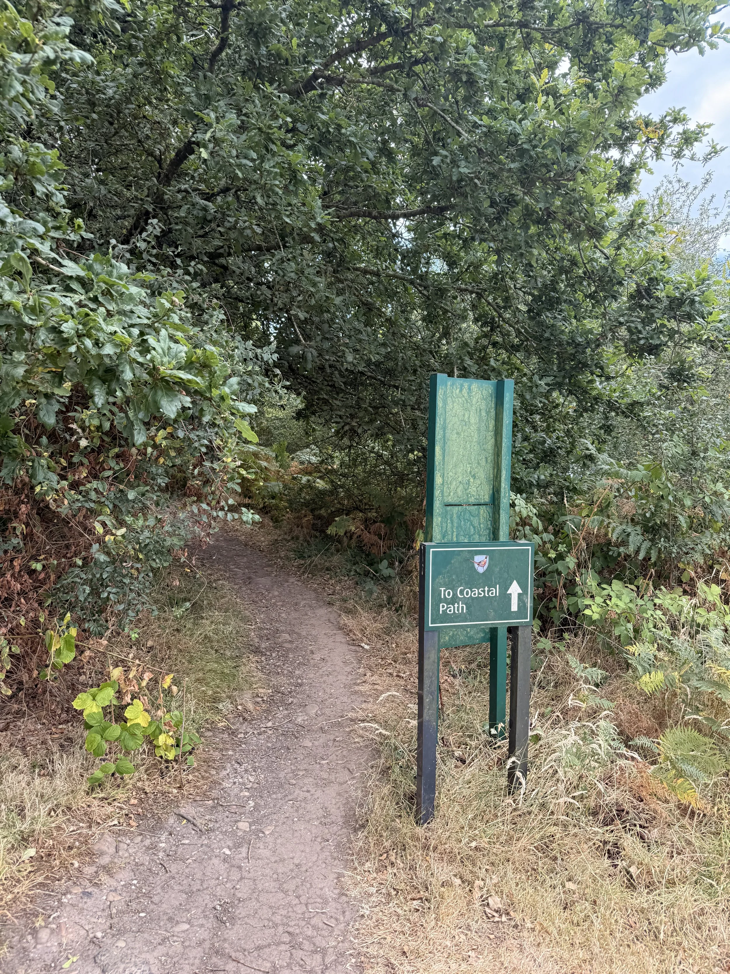
The sign as you cross over the golf course to join the coast path
Ignore any footpaths branching off of this path, it won’t be long before this track opens up onto the golf course. Be aware of golfers as you take the gravel path, then turn right onto the grass path where you should spot a footpath sign ahead by some trees. That’s the direction you’re heading! Once across the golf course, take the path between the trees with the sign that states ‘To Coastal Path’. This wooded path will eventually open up onto the South West Coast Path and will treat you to sea views ahead, with Exmouth and Devon Cliffs holiday park over the fields on your right, and the golf course on your left.
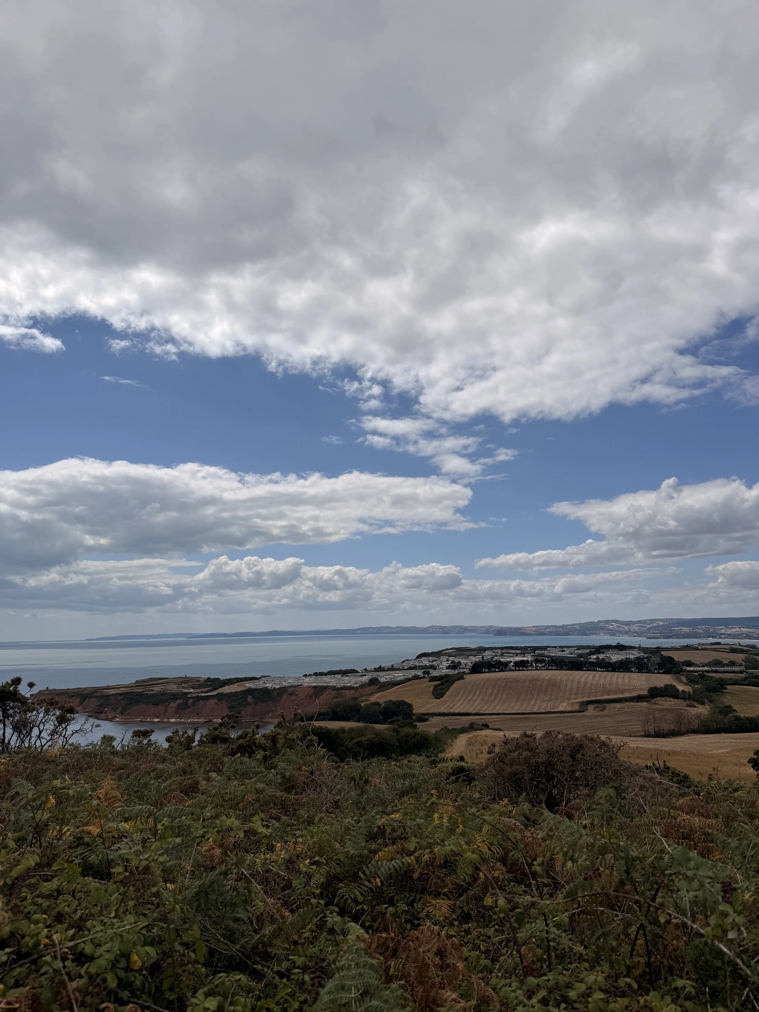
Views of Exmouth and Devon Cliffs Holiday Park
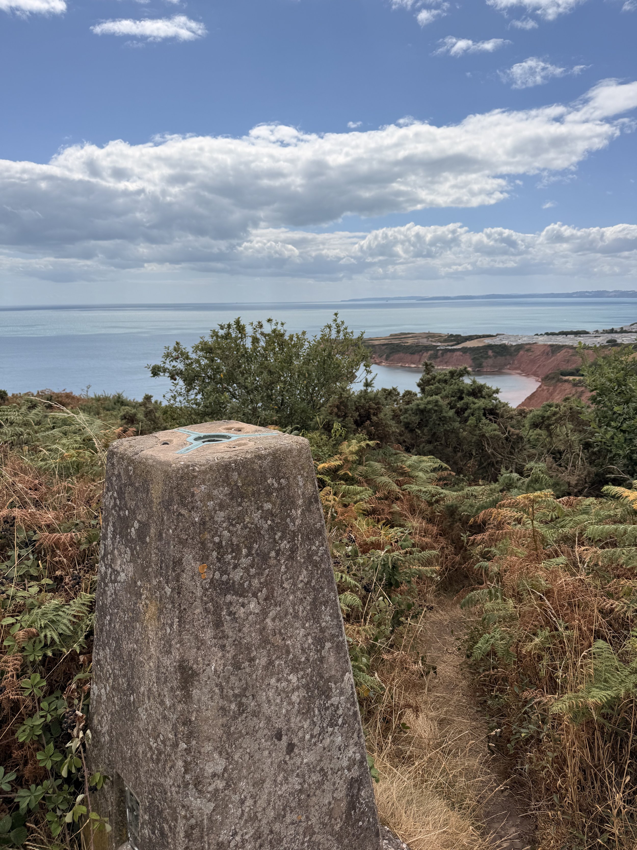
West Down Beacon
You’ll soon pass a bench, to the right oh which is a narrow path leading to a trig point, this is West Down Beacon. It’s worth standing here for a moment to enjoy the panoramic views before heading back down onto the coast path. Once you reach the signpost at the end of this path, turn left, taking the route marked ‘Budleigh Salterton’. Follow this stoney path, but be sure to take in the views and wildlife along the way. When I did this walk recently in the summer I saw so many Swallows dipping down in front of me, I heard Stonechat amongst the gorse and ferns, a Bullfinch calling out in the distance and I was even lucky enough to spot a Dormouse amongst the grass on the path! Be sure to spot Budleigh Salterton’s famous Pine trees up ahead before they disappear when the path takes you under shaded tree coverage. Here, I normally hear lots of Goldfinches chatting away to each other.
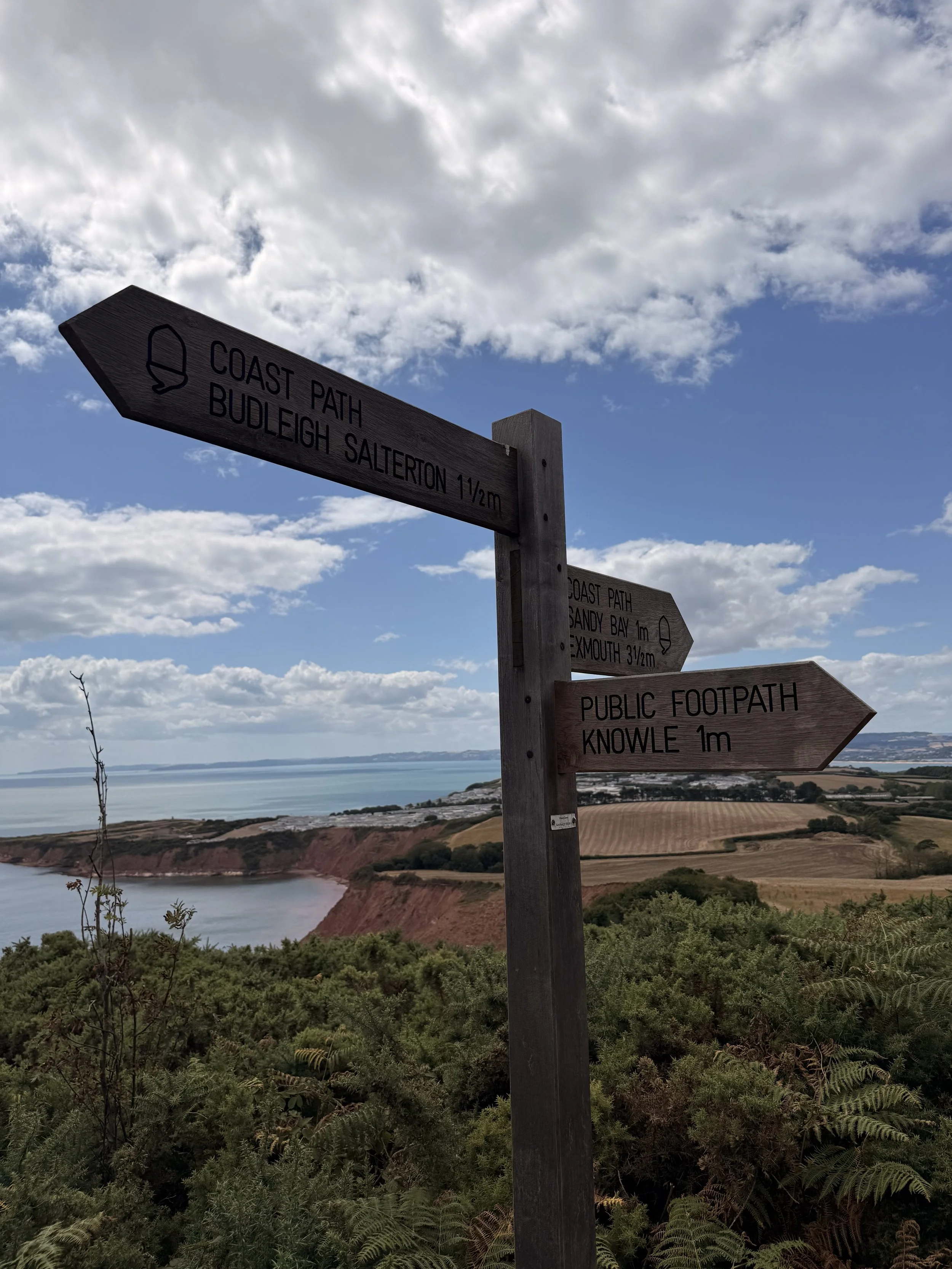
We’re taking the path to Budleigh Salterton
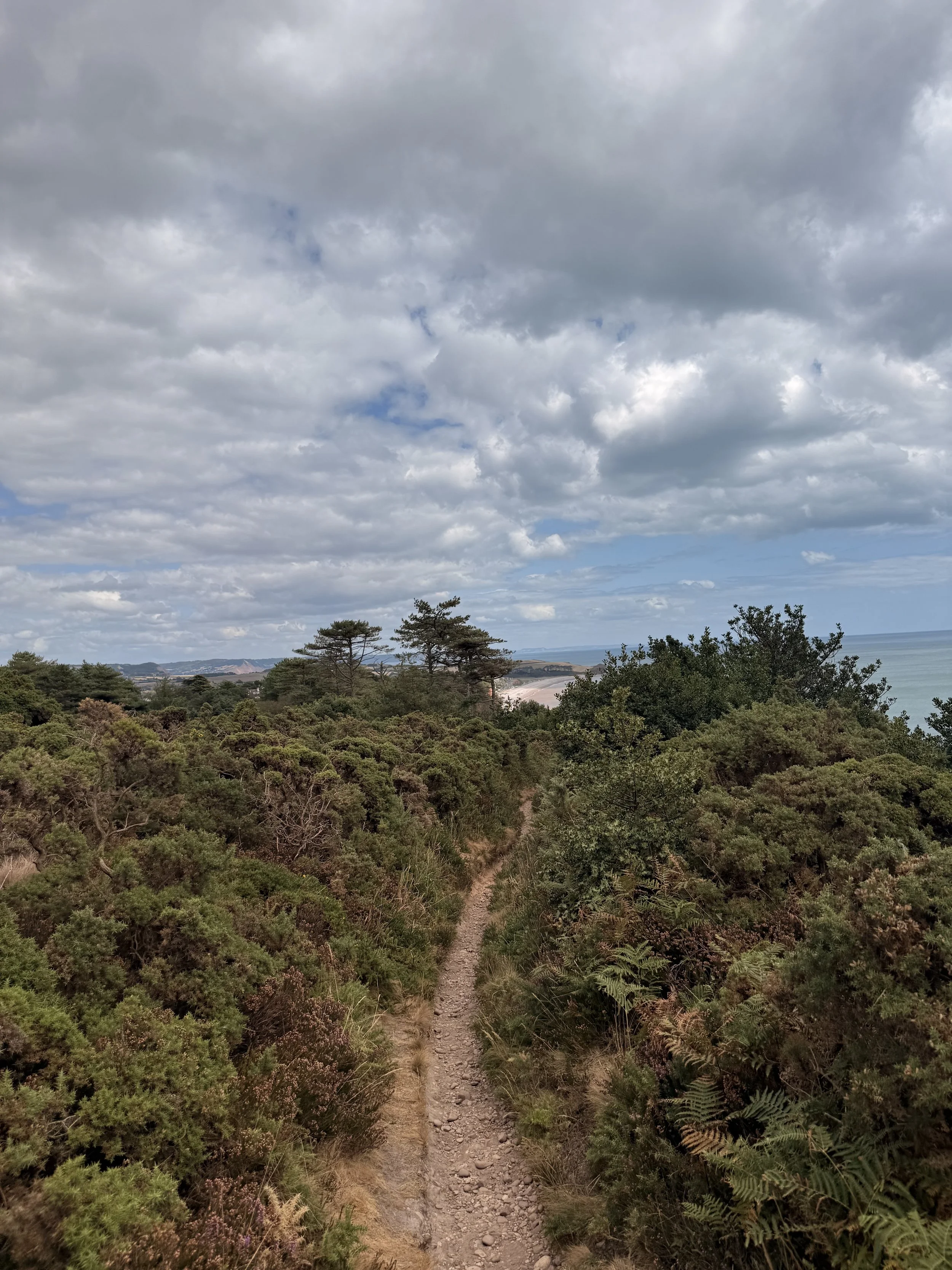
The South West Coast Path
When you reach a post with two yellow arrows, take the path on the left with some steps leading up, once again to the golf course. As this path opens up, keep the golf course on your left as you pass another post on your right, where soon this path leads you onto a residential street. From here, take the road on the left down Links road, passing the Golf Club entrance and car park on your left. This road will take you down between some trees, (there is no pavement on this stretch so be aware of any cars that may pass) where it will then open up onto a residential street again. At the end of this road you’ll meet the B3178, the main road through Budleigh Salterton. Cross this busy road and take the little steps into the green wooded area, by the end of summer the ground here is covered in pine cones. Once you meet the tarmac footpath, turn right and continue to the end of the green space.
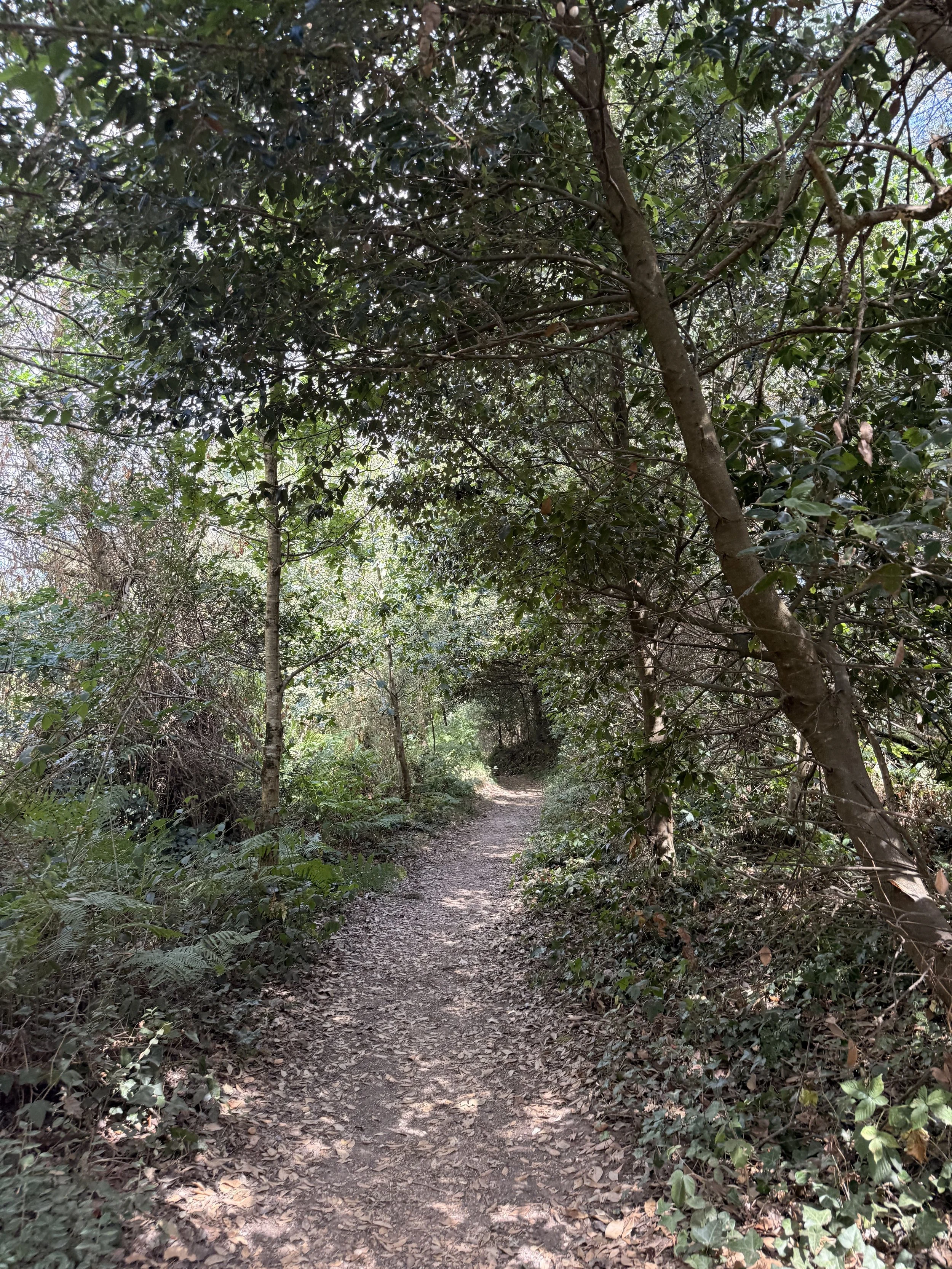
A shaded section of the Coast Path
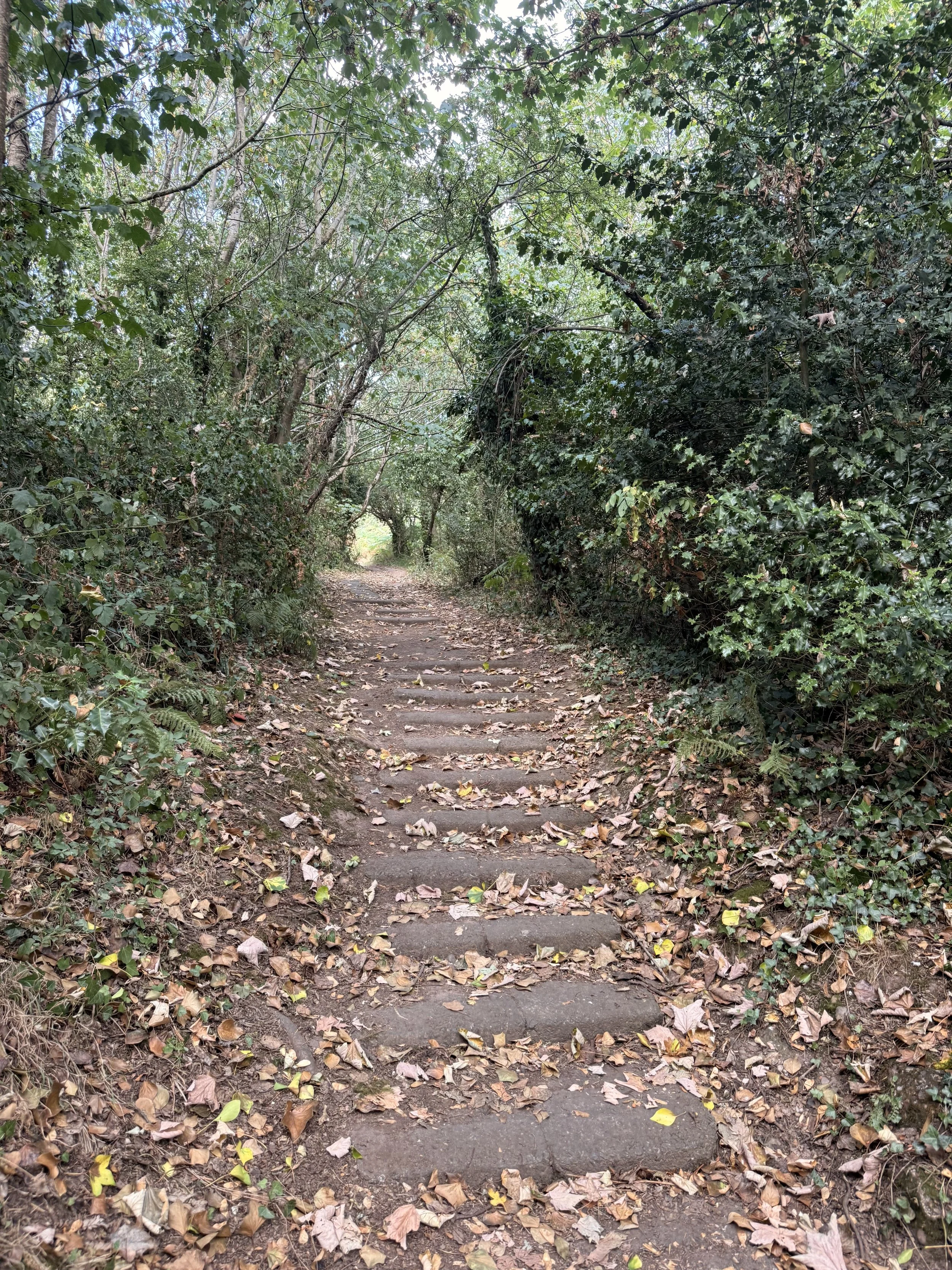
The steps leading back onto the golf course footpath
Turn left down ‘Halse Hill’ where the first house you pass on the right has some cuddly toys greeting you on the fence! This lane soon becomes shaded by trees as you descend down the hill and then reach a ford. Cross the ford via the bridge (unless you don’t mind getting wet feet!), and carry on to the end of this road. At this point you can choose to carry on to the left down Knowle Road, or take a quick detour up ‘Dark Lane’, the lane that carries straight on. This sunken ‘Holloway’ is worth exploring, with impressive thick tree coverage and high walls of sandstone carved with people’s initials, it was believed to have once been a smugglers route. Once you’ve had a look round, turn around and go back down to the junction, turning right to carry on with our circular route.
Once back on Knowle Road, you’ll pass a quaint cottage on your right, continue up the hill past hedgerows then houses on your left, where you’ll then go down the hill passing houses on both sides before meeting a main road at the end.
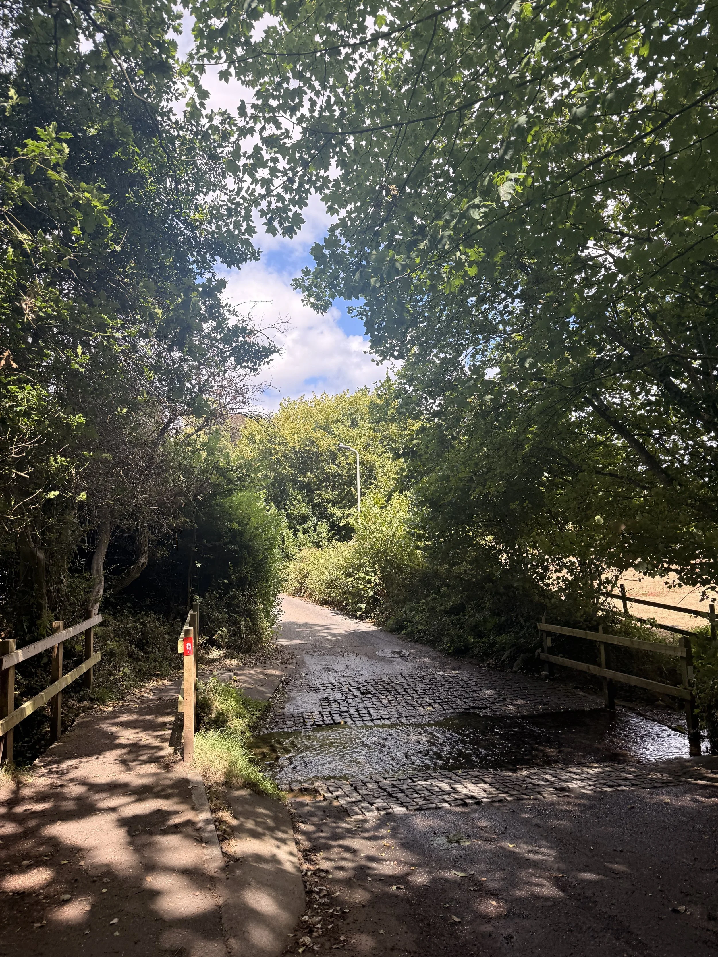
Crossing the bridge at the ford
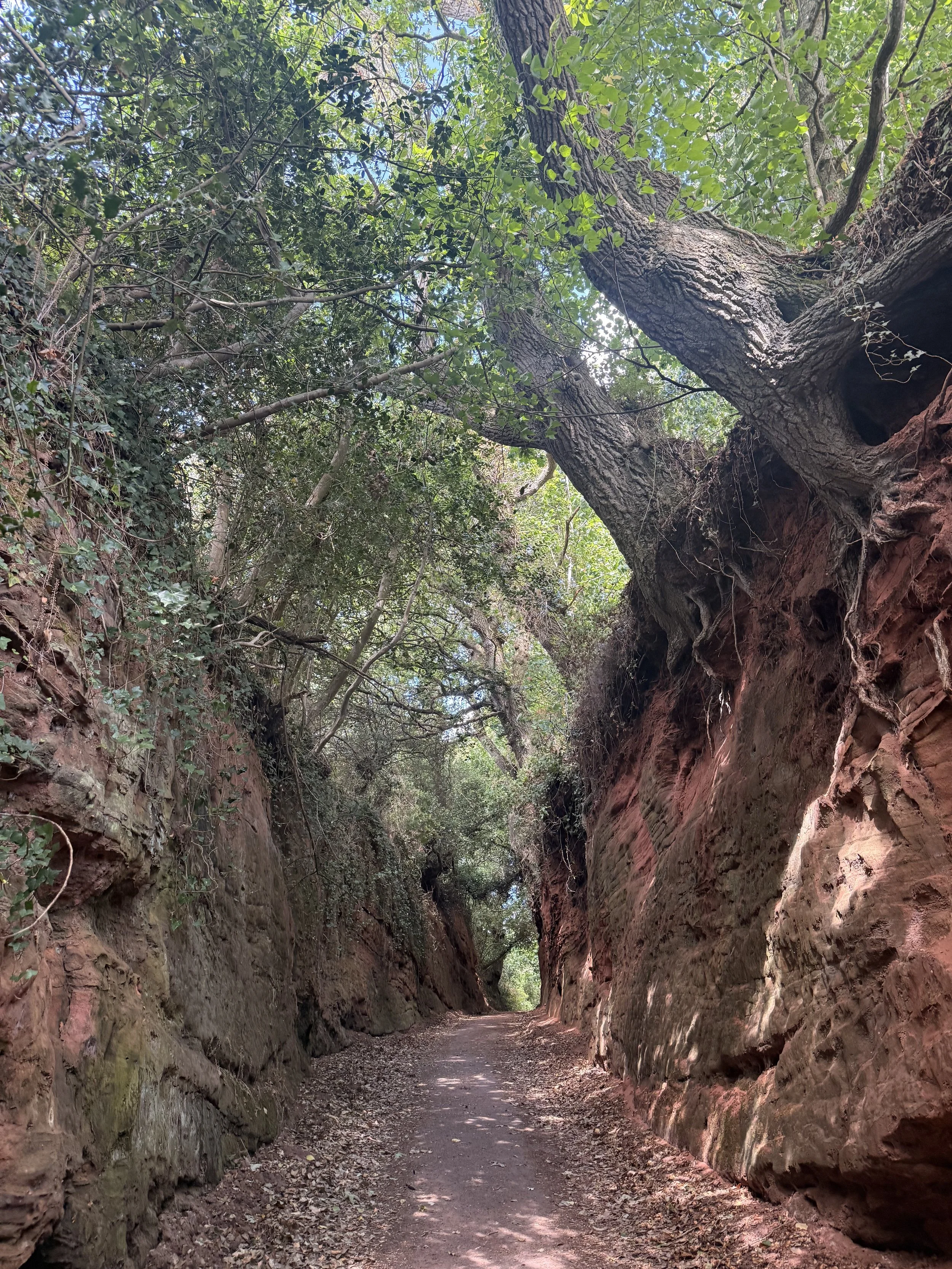
The impressive Dark Lane
Cross this busy road and turn left, then turn right down Dalditch Lane (The lane opposite Knowle Garage). You’ll soon be walking past The Ford Estate, with a stone boundary wall on your left. On your right, there are beautiful Lillies growing in the stream by the entrance to Lily Farm Vineyard, from which I assume the Vineyard got its name. This can feel like a long lane, but it’s peaceful listening to the birdsong and gentle trickling of the stream. It won’t be long until you walk under a very tall old railway bridge, which used to carry the railway line from Exmouth to Budleigh, and onto many other destinations. It’s now a shared cycle and footpath which we will be joining later.
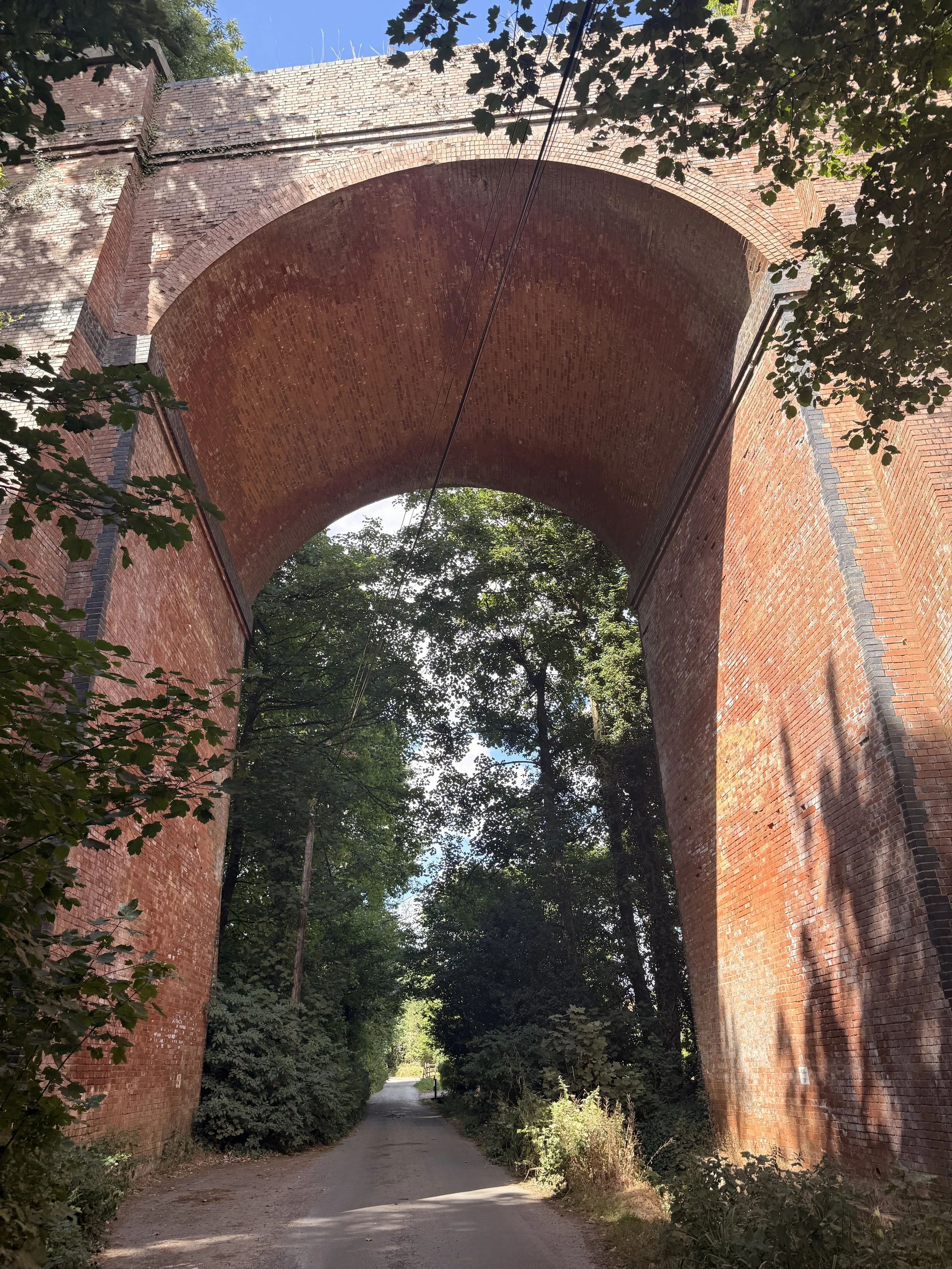
The old viaduct
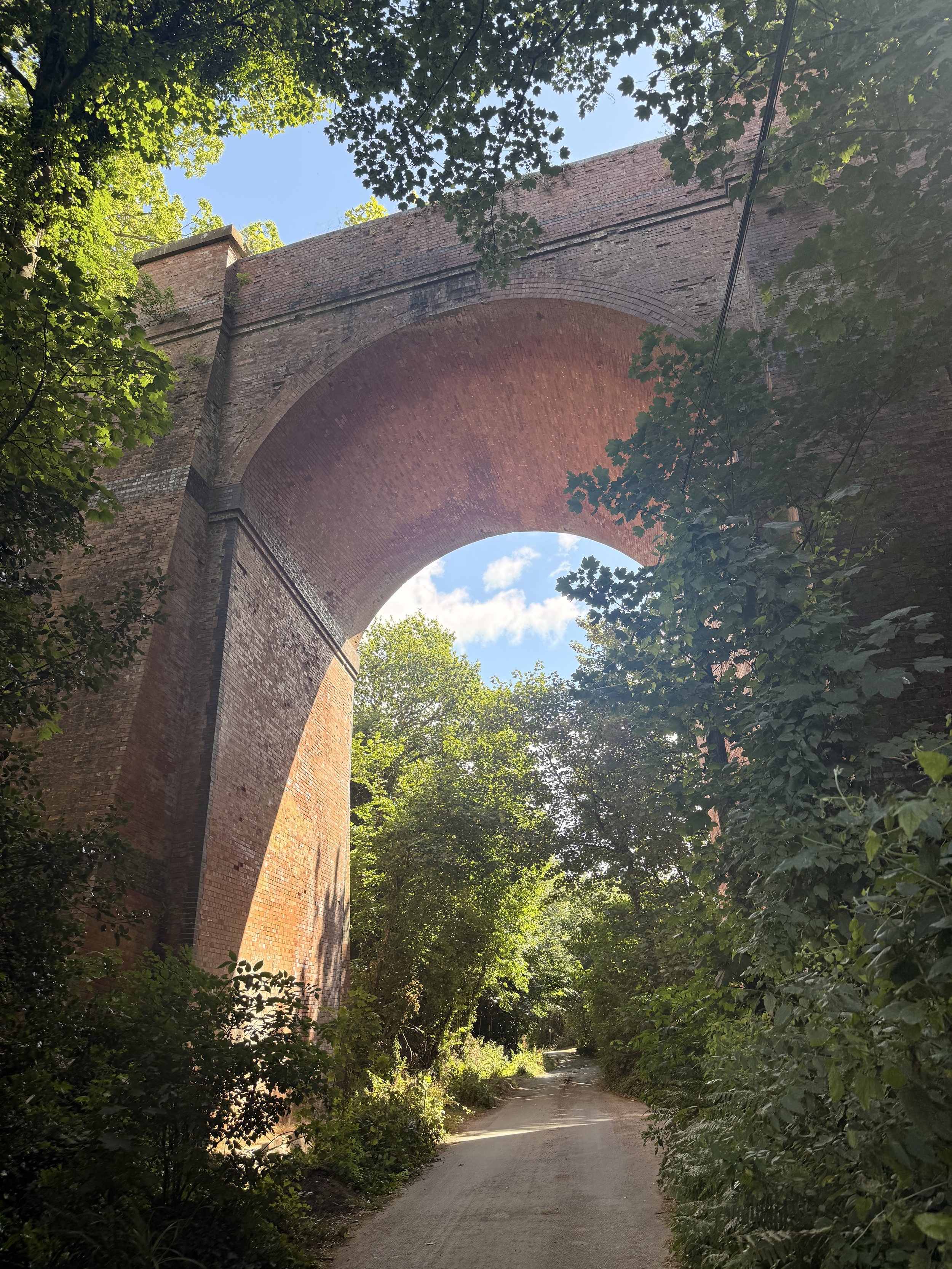
After passing under this bridge, the stream on your right will sound louder as the lane turns off to the right. We aren’t going that way, instead take the gravel path on the left. At the right time of year a fair number of butterflies fly around this path, attracted to the Buddleia that grows here. Once you reach a gate at the end of this path, enter through it and turn right, joining the old railway line we walked under earlier. Be aware of any cyclist that will also be using this popular path between Exmouth and Budleigh Salterton.
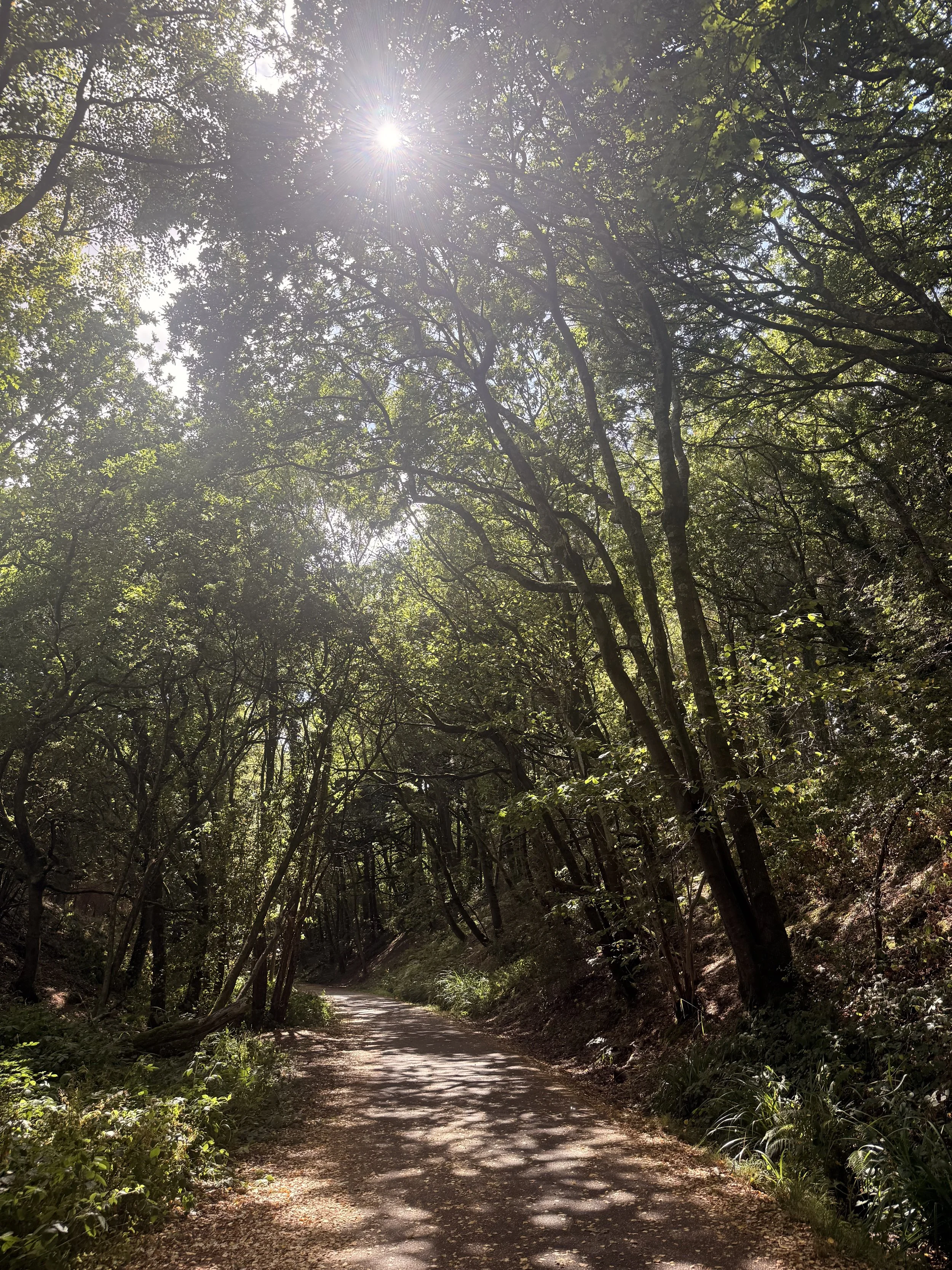
The shaded cycle path in Summer
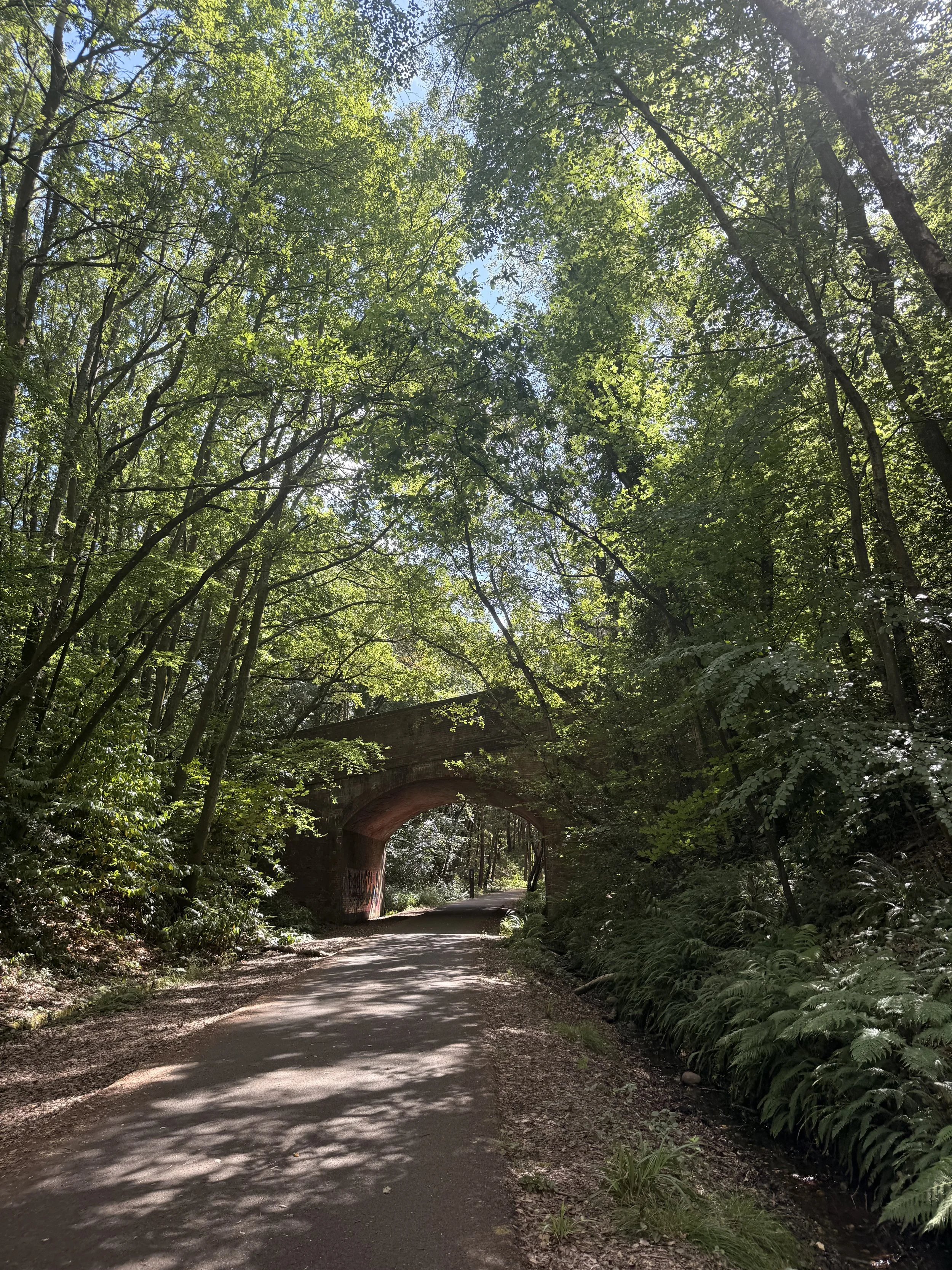
One of the old railway bridges
This old railway line is a lovely walk in all seasons, especially in summer when the dappled light shines through the trees onto the path, and in autumn when the trees put on a show with their changing colours. This area is lovely for wildlife spotting, Robins hop along the path in front of you hopeful for any food you may have, Blackbirds and Wrens scurry across the undergrowth by the trickling water, and I sometimes hear a group of Long Tailed Tits calling out to each other in the trees above. In the past I've seen deer running across the path ahead and into the woods, as well as little mice doing the same thing but in a less obvious way!
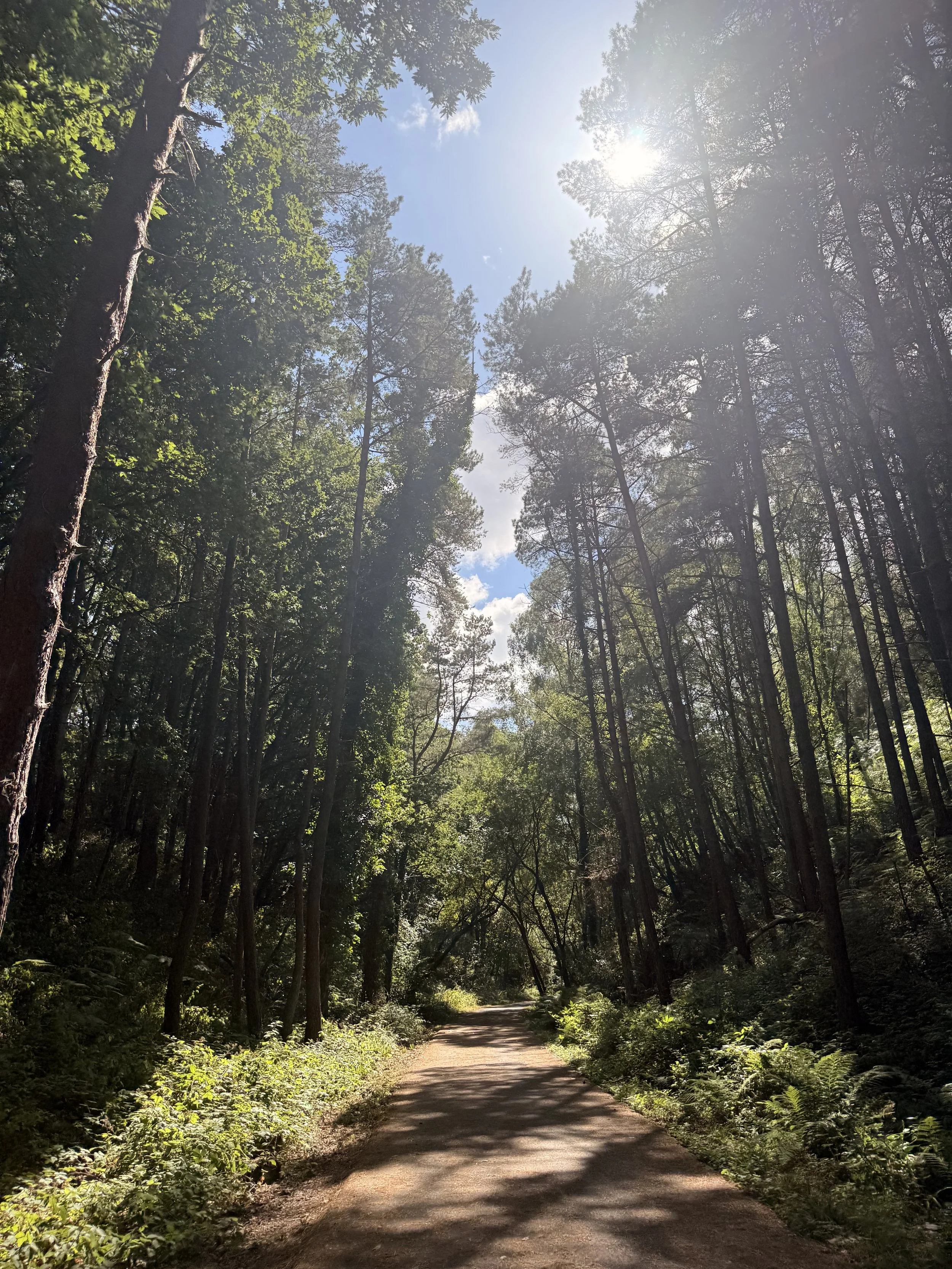
This path is shaded from the heat in Summer
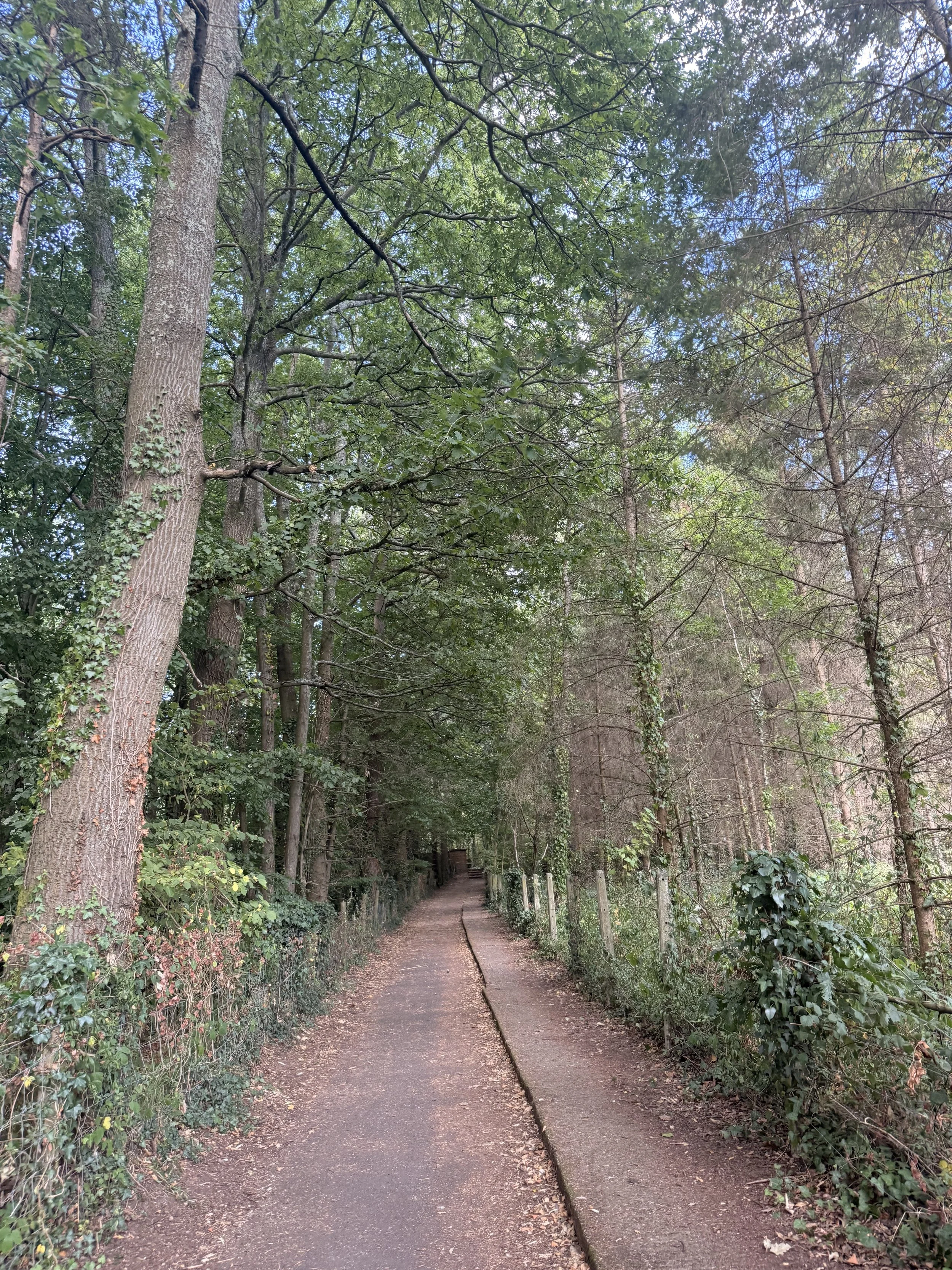
Leaving the old railway line at Castle Lane
Once you walk under the second (and last) bridge, look out for a blue sign pointing left saying ‘Castle Lane’. Take this path and you will soon be walking alongside the last bridge we just walked under. There’s an information board close to the roadside, detailing more on the disused railway line, explaining how it closed in 1967 and reopened as a cycleway in 1998. As you reach the road, you should recognise that this was where we first began the walk on Castle Lane.
If you enjoyed this walk, I have previously posted a different one that starts at the same location but loops round via Exmouth instead of Budleigh, which is equally lovely.
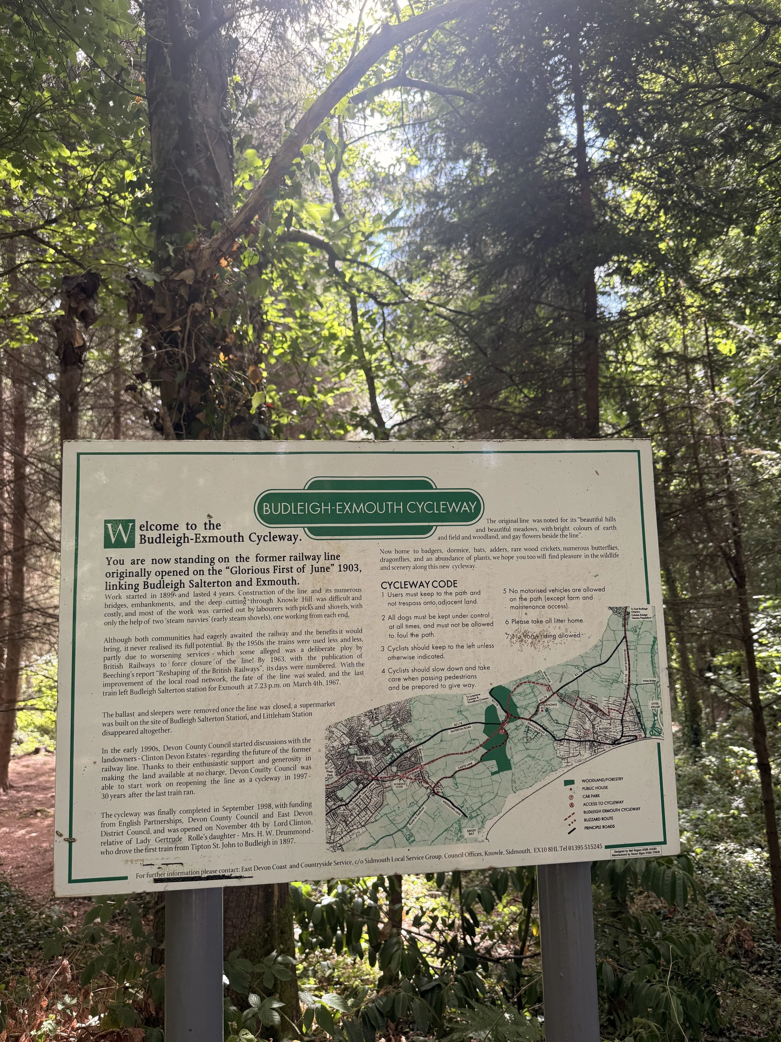
Information about the old railway line
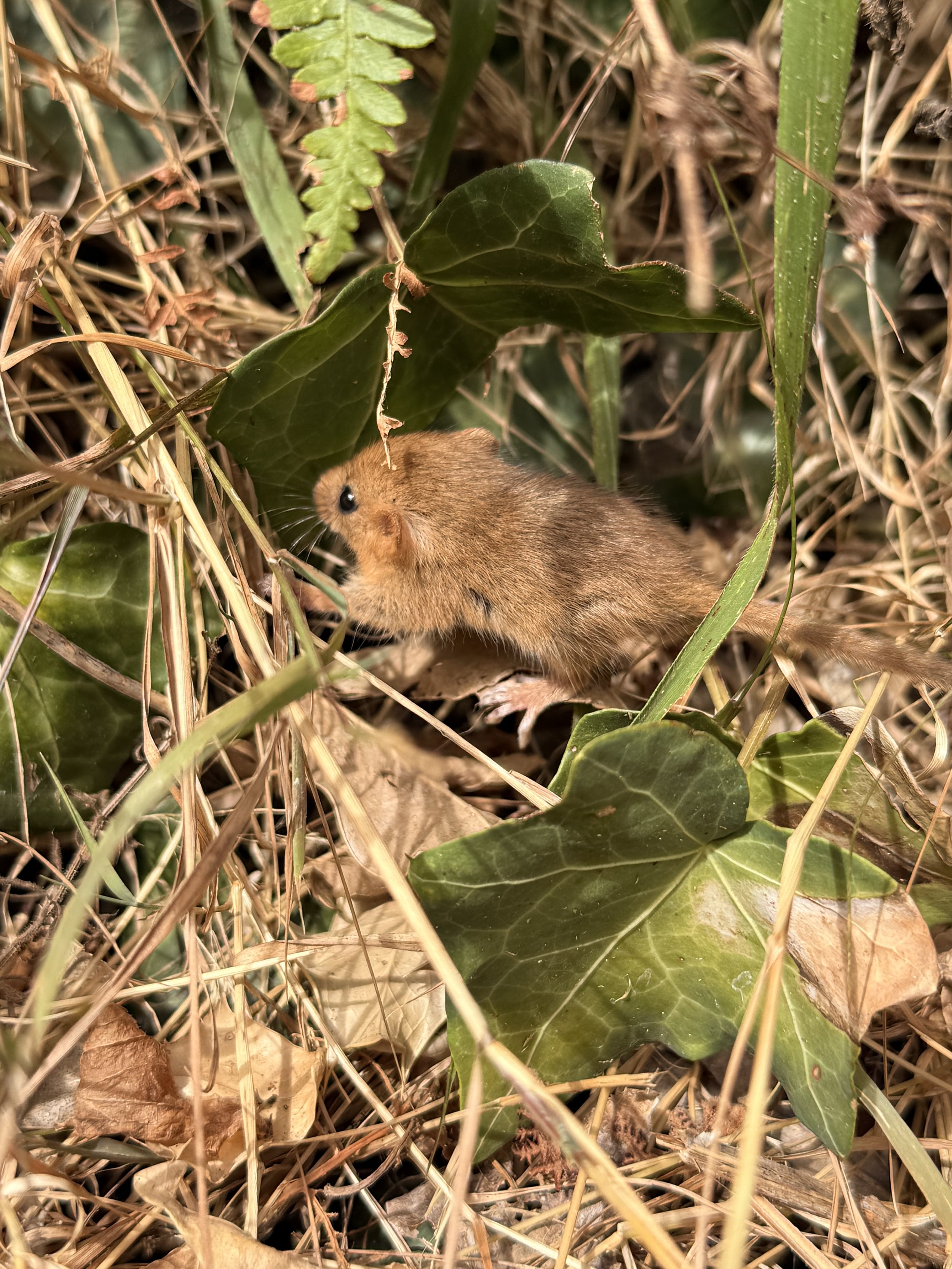
The Dormouse I saw on the coast path

Beer to Branscombe Coast Path (and back again)
This walk along the East Devon coast path from Beer to Branscombe and back is quite easy to follow as there are very clear signposts and paths leading you in the right direction so I won’t go into too much detail with this walk. We love this stretch of the South West Coast Path because Beer and Branscombe are two of our favourite beaches to visit. Both are small villages, with fishing boats moored on the pebble beaches. I’ve written a post before about Branscombe (here) and I’ll do another post in the near future about Beer as it deserves its own post; it’s such a lovely little Village to stroll round, visiting the independent shops and sitting in one of the deck chairs having an ice cream or chips on the beach, watching the fishing boats go out to sea.

Views of Beer’s white cliffs.
We started this walk by parking in the main car park (Clapp’s Lane) in Beer as we first went down to the beach to have some lunch, but we resisted the urge to get an ice cream, instead promising ourselves we would have one once we reached Branscombe. If you aren’t planning on visiting the village or if there’s no space in the main car park, then there’s a larger one right by the start of the coast path called Cliff Top car park. To reach the coast path from Beer Beach, we walked past our favourite pub in the village, ‘The Anchor Inn’ and walked up Common Lane. From here we had beautiful views of Beer Beach, its white cliffs and the coastline over the well kept gardens, belonging to the beautiful terraced houses on the other side of this road. Once half way up this hill we then turned down a lane on our left called Little Lane. From here it leads us past the bigger car park I mentioned earlier, and a caravan park on our right. Going through a gate, and into a field, this lane joins onto the coast path.
For those of you who enjoy geocaching, there are some great ones along this route all the way to Branscombe. We actually ended up finding some of the ones we couldn’t find last time we walked this route, though it can be hard sometimes as this path can get fairly popular, so you need to have a lot of stealth!

Views of Beer and Seaton from the coast path.
As we carried on along the coast path the views just kept getting better, we did this walk on a hot and sunny day, but a word of warning, be prepared that there’s a steep hill on the way back from Branscombe, which can be made a lot more strenuous in the heat, there’s also a section of rather steep steps if you descend the cliff path, but the rest of the walk is rather easy going and the views make it even more enjoyable. On the way to Branscombe we took the lower path (called Hooken undercliff) when we were given a choice of two options, and on the way back we took the high path along East Cliff.

A lovely spot to sit and take in the views.

Views of Branscombe beach from the coast path.
The lower path takes you through twists and turns with the white cliffs on your right, and there’s a short cut to the Eastern side of the beach when you reach the end of this path. However, there are quite a few steps on this path, whereas if you choose the high path it’s just through several fields then down one set of steps and then down East Cliff hill. One thing to add, at the moment the path will be getting more and more popular as its peak holiday season, the lower path also gets quite narrow in places, meaning it will be difficult to socially distance from others at times.

Some of the steps you’ll encounter along Hooken Undercliff.
Both paths offer the beautiful views of the coastline and are clearly marked on how to get to the beach. Once we reached the end of the lower path, we could have walked further which would take us out to the bottom of the hill before the car park at Branscombe, instead we chose to enter the beach by a path on our left. This took us to the Eastern end of the beach.

The Eastern end of Branscombe beach.
This part of the pebble beach is a lot quieter than the main stretch close to the car park. We decided to sit here for a bit and watch a few dogs enjoying the water as the waves crashed against the pebbles. After a while, we decided to walk towards ‘The Sea Shanty beach cafe’ by the car park and the entrance to the beach, it’s a short walk along the beach to get here. This is the only cafe by the beach, but it has a good variety of food and drink options, including a good choice of ice creams which is what we came for!

The Eastern end of Branscombe beach is always a lot more quiet.

We sat and watched the waves crashing against the pebbles.

The busier part of the beach, with The Sea Shanty Beach cafe to the right.
After having a great ice cream and relaxing in the sun, we decided we had better start climbing the hill back onto the coast path, to return to Beer. From the Sea Shanty cafe, there’s an entrance to the hill ahead through a gate by the mouth of the river that’s just to the side of the car park. Look for the massive hill, it is hard to miss!

We sat and had an ice cream, while looking at the hill we were about to climb.
The hill does have some benches you can rest on if need be, we sat and looked at the views of the beach below before continuing on our walk, up some steps then through more fields which eventually took us back to Beer. Along the way we saw the remains of an old lookout building as we walked past a flock of sheep and down a path that took us through some gates and back to the fields we first started walking in.

The views of Branscombe village, beach and coastline from the top of the hill.
This walk took us about 3 hours to do, but we did it at a leisurely pace and stopped to do some geocaching. It’s best to give yourself plenty of time, as I’ve said before the hill and steps can be quite strenuous! The stunning coastal views really do make up for the hard work involved on some parts of this coast path though. Both beaches are dog friendly, Beer does have restrictions in place for certain areas (clearly marked) during peak season, but the whole of Branscombe beach is dog friendly all year round. If you are taking a dog on this walk, please bear in mind that there are steep drops from the cliff side so be very careful dogs don’t run off the edge, and as always, keep dogs under strict control around any livestock you may encounter (we walked through fields with sheep and cattle in them).
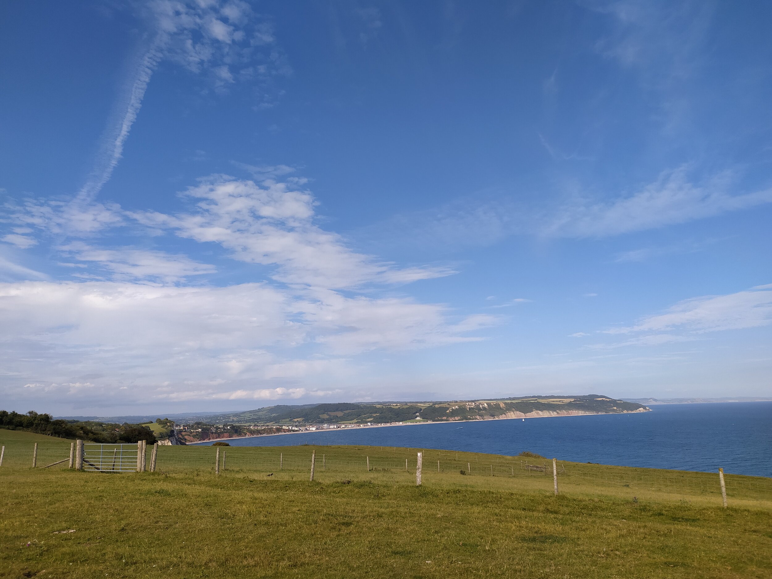
Views of Seaton from the coast path on the way back to Beer.