Exmouth Coast Path Loop, via West Down Beacon
This is a 4.5mi/7.2km circular walk starts at Castle Lane near Budleigh Salterton (What3Words: ///lifelong.beauty.flop) There is free roadside parking as well as a bus that stops at the end of the road. This route passes through a golf course, along the South West Coast Path with beautiful views of the Jurassic Coast as you descend into a holiday park. You’ll then pass through Littleham village and pick up a disused railway line to complete this circular walk. In the drier months, this walk is doable in trainers or walking sandals, although I would advise sturdy shoes/boots due to the rugged coast path. Dogs are welcome on this walk, but be aware they will need to be under control/on lead for most of the walk due to passing through a golf course, walking near the cliff edge on the coast path and through a holiday park. They can go off lead on the old railway line, but it is a shared path with cyclists.

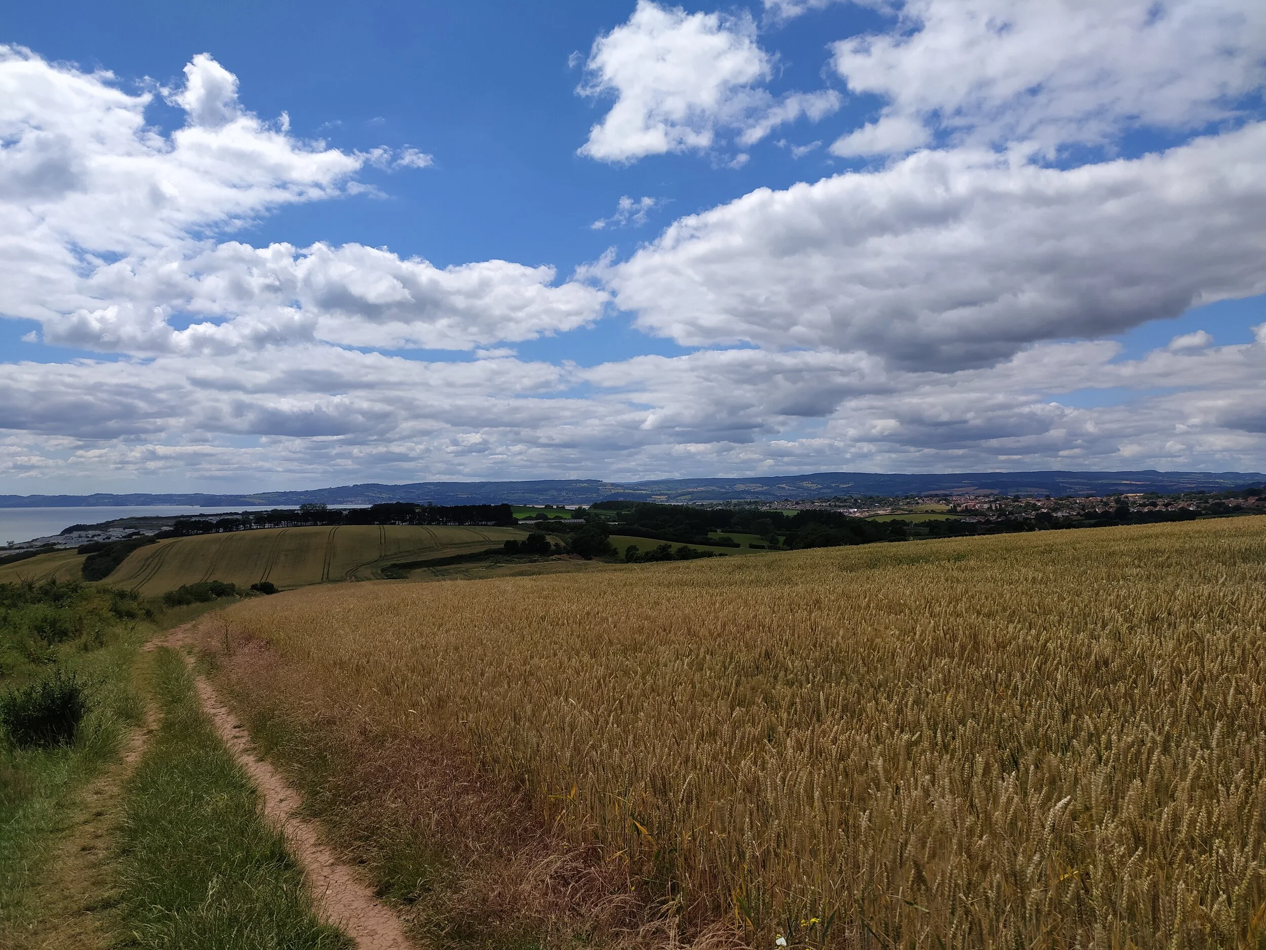
Coastal views from West Down Beacon.

The footpath leading through the golf course.
From Castle Lane, walk down the road, passing some houses on your left. Once you pass a house called ‘Oak Glade’ there is a path to the left going up to a gate. Take this turning, passing through a gate on the right next to a public footpath sign. This sheltered path leads through a golf course, so anyone doing this walk will need to keep dogs on leads and be aware of incoming golf balls! As you walk along this sheltered path, there’s a footpath going off to the left, ignore this path but do turn back and look at the views of the East Devon coastline beyond the golf course. Here I heard goldcrests calling out in the pine trees, while squirrels were busy foraging for nuts in the fallen leaves to the right. This sheltered path soon opens out onto the golf course. Here you need to follow the path ahead, walking straight ahead in the direction of the trees (in the photo below). There are yellow footpath arrows on posts pointing in the right direction, with the golf bunker (the area with some sand in the photo below) to my right. Already there are beautiful sea views to the right, with a buzzard circling ahead in the sky.

Beautiful views from the golf course.

The path opens out onto the golf course, sea views to the right.
A sign by these trees informs me that I’m joining the coast path. I follow this path with trees on either side of me, but I can still see the sea views peaking through gaps in the trees. Jays were loudly squawking to each other here, and I could hear a bullfinch calling out in the distance as I reached the end of the path, with a bench on my left. For the best views of the coastline, there is a narrow path just to the right of the bench, between some gorse. Here is West Down Beacon, and with it are panoramic views of the East Devon countryside and coastline. On a clear day like today I could see Exmouth town, the holiday park and straight point cliff sticking out to my right, as well as Torbay and the countryside in the distance. On my left I could see rolling hills of the Sid Valley, as well as Budleigh beach and the coastline beyond that. Even the white cliffs of Branscombe and Beer were visible today. I was once lucky enough to spot a dormouse on the coast path here, crossing over into the gorse, so be sure to keep an eye out, knowing these rare mammals live in this area.

Countryside and coastline from the beacon.

Views of the sea and Exmouth town from the coast path.
After taking in the views, rejoin the coast path, where in front of you is a sign stating Budleigh Salterton is left and Exmouth is to the right. We’re heading back towards Exmouth so take the path to the right. This path becomes fairly narrow and has lots of stones underfoot for a short while so take extra care here, especially when walking down the hill. The path soon passes through a kissing gate and opens up into a field where I continue to follow the clear path ahead along the coastline, ravens were calling out their distinctive ‘cronking’ sounds across the fields here, as well as goldfinches chattering to each other as they flew overhead. I usually see rabbits in this field, hopping in and out of the hedges, especially at dawn and dusk. From this path Straight Point is visible and Devon Cliffs holiday park is a lot clearer now. Straight point is the red jagged cliff sticking out to sea. The top of this headland is a firing range used by the Royal Marines, as well as there being red warning flags up, you can always tell when they’re training here, as you’ll hear the guns firing. If you do hear them, look out for the Range Safety Boat that will stay close to Straight Point, (I normally see it close to Sandy Bay beach) to warn boats/vessels to stay clear of the area whilst they’re firing.

Views of the coast path I just walked, and beyond.

Views of the jurassic coastline with Budleigh beach in the distance.
You’ll soon arrive at some steps that lead down to a footbridge then up some more steps before leading into another field. This area is well known for land slides and sheer drops, so anyone with dogs and young children must be careful to not walk too close to the edge. This field soon arrives at another kissing gate where it leads into Devon Cliffs Holiday Park. From here, keep to the coast path on the left as you walk down the hill with clearer views of Budleigh just behind you to your left. Soon the hill you walk down turns into a road and car park. From here, walk straight ahead and up the grass bank, keeping to the edge by the hedges. Turn right and keep the hedge to your left as you walk round and see a wooden coast path sign pointing towards the beach. Follow a path behind some static caravans where the firing range is now on your left, then walk down a slope where you’ll have clear views of the sea ahead, as well as Brixham, Torquay and Dawlish across the water. Soon you’re met with the entrance to Sandy Bay Beach on the left and the South Beach Cafe and Shop ahead. For anyone who hasn’t been before, the South Beach Cafe is a lovely place to grab something to eat or drink and sit outside overlooking the sea on a summer’s day.

Low tide at Sandy Bay beach.
South West Coast Path towards Sandy Bay.
After a quick stop to take in the views of the beach below, head up towards the entrance of Sandy Bay. There are signs dotted around the holiday park telling you where this is, but for those needing to know how to do this I’ll explain the quickest route now…Keeping the South Beach Cafe on your left, walk up towards the road where you’ll see a zebra crossing. Cross here and walk up the road that has a sign saying ‘Apple Grove’. Keep to the pavement on the right where you’ll spot a zip wire aerial adventure zone on the right. At the next junction turn right and you’ll see a bus stop on the left and the car park for the entertainment centre. Walk through the car park and rejoin the pavement where you can cross the road and continue on the pavement on the right. From here you’ll see a sign telling you the way out is to your left. Soon you’ll see the welcome flags at the entrance to the holiday park. Cross the road here and continue along the pavement leaving the holiday park, now with World of Country life on your right and eventually you’ll see the Sandy Bay entrance Arch in front of you. Here I like to cross the road and walk on the raised footpath on the right as there’s sea views on your left just in the distance over the fields and houses. This route will lead you into Littleham village where there will soon be thatched cottages on the left and the local Pub, The Clinton Arms ahead.

Crossing the bridge over Littleham Brook with St Margaret’s Church ahead.

There are fields either side of this path.
Once you pass The Clinton Arms on your left, cross over the bridge with St Margaret’s church ahead of you. Keep left and walk up the road (keeping the church on your right), until you’ll eventually come to Capel Lane, turn right up this road and continue ahead until you reach an old railway bridge. Here you need to pick up the old railway line under the bridge, and turn right, walking the shared path where soon you’ll spot Littleham Church (St Margaret’s) to the right over the fields. This path is surrounded by fields, the one on the left often has cows with their calves in it. As you continue ahead, looking back to the right over more fields, you can just about see the sun glistening on the sea in the distance.

The path becomes more sheltered by trees.

Information on the old railway line.
Eventually you’ll cross a footbridge and shortly after, another one, where the path now becomes more sheltered by the trees overhead, with a picnic bench on the right. This stretch of the path is great to walk in autumn when the trees are turning colour, and the ground is hidden under a blanket of fallen leaves. I’ve seen deer and foxes in the fields to the left before, as well as blackbirds and robins that flitter about on the path ahead. Eventually you’ll meet a sign post just before an old railway bridge ahead, turn right up a path where the blue sign points to Castle Lane. From here you’ll soon join the road where we first began the walk, passing an information sign on your right about the history of the disused railway. I also have a circular coast path walk to Budleigh on here, (via West Down Beacon and the disused railway track) if you’ve enjoyed this walk.