A selection of a few adventures and days out around Devon and beyond.
Branscombe Village and Coast Path Circular
This circular 4mi/6.9km walk begins in Branscombe Beach Pay and Display Car Park (What3words: ///police.nylon.sprain). It takes you alongside a leat, a working mill, an orchard and a forge, then up through the village until you reach the coast path with stunning views of the sea and cliffs before dropping back down into Branscombe, arriving back at the beach. It can be strenuous in a few places with uneven ground and steep inclines, sturdy footwear is advised. There are two pubs and a cafe in Branscombe as well as the National Trust Old Bakery Tea Rooms which you will pass on the walk. (Check opening times online). Toilets are located at the beginning of the walk, as well as National Trust toilets beside the Old Bakery Tea Rooms. This walk is dog friendly, but be aware they may have to remain on lead for sections of the walk due to grazing livestock, and also stretches of road and coast path.
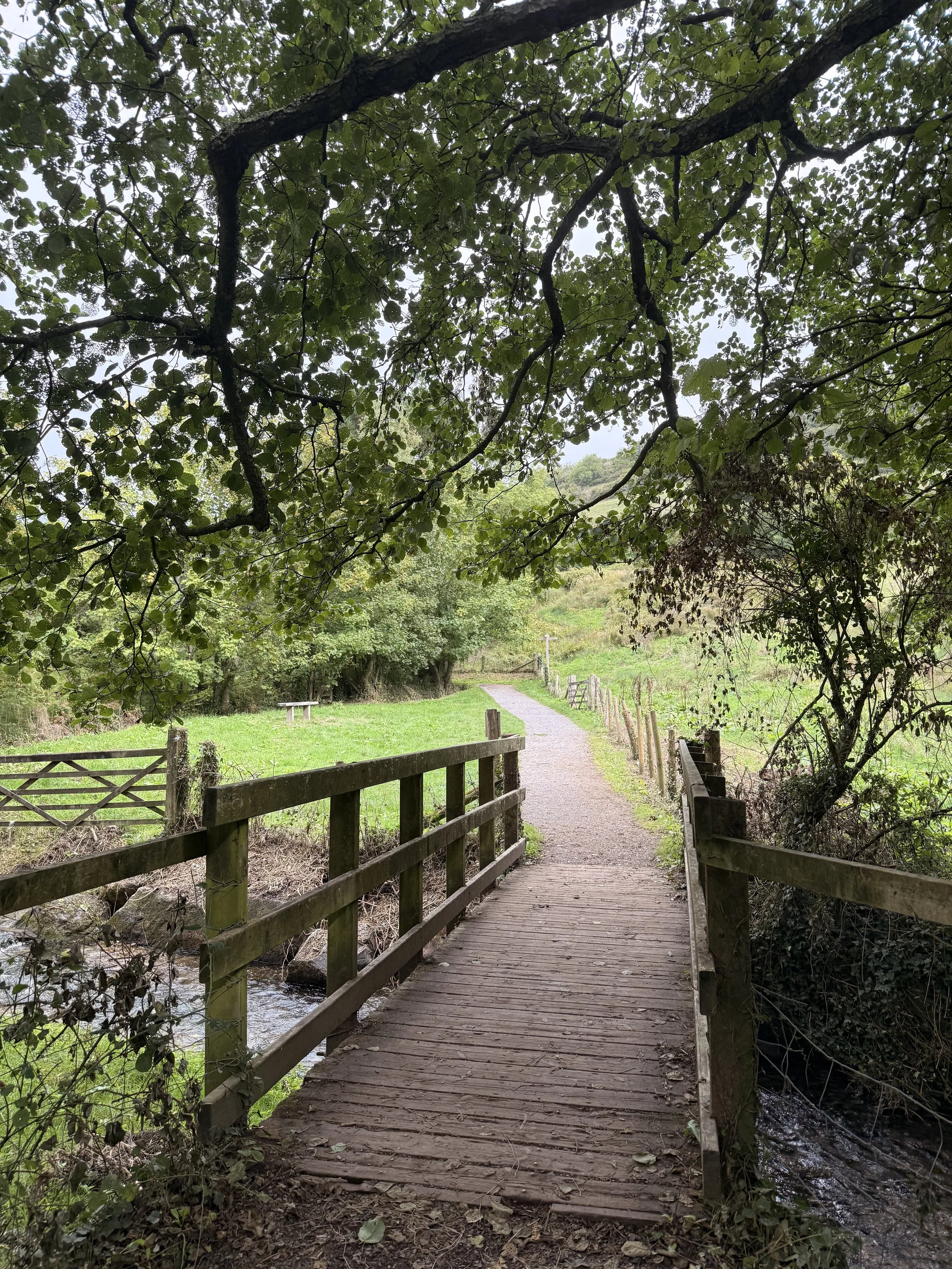
Crossing over the stream
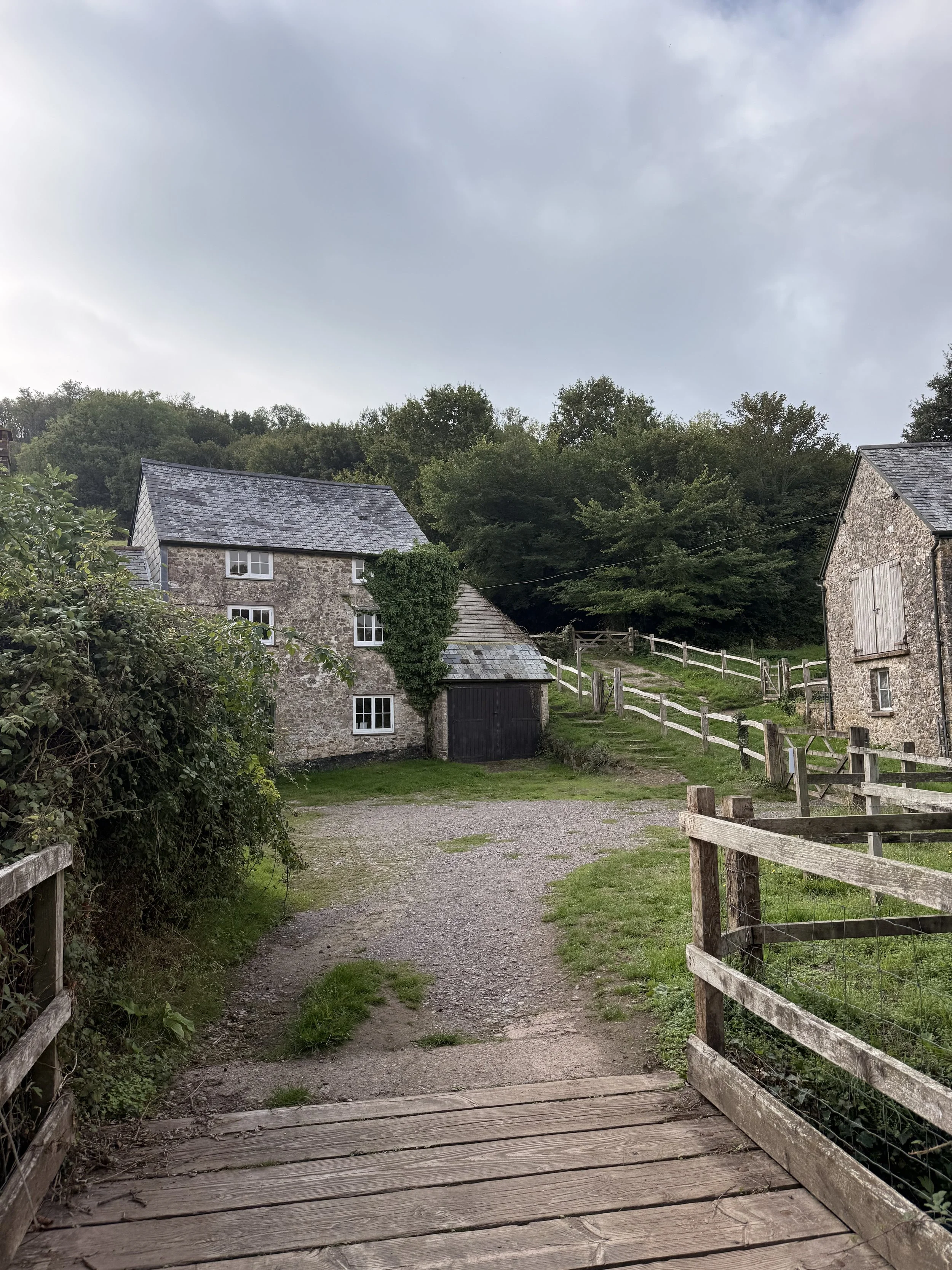
Arriving at Manor Mill
From the car park walk past the toilets behind The Sea Shanty Cafe, turning right on a path that takes you alongside a stream, shaded by trees. Soon you’ll cross over a bridge with a National Trust sign encouraging you to play pooh sticks here. We heard several blue tits and goldcrests along this route as we continued on, ignoring any signs coming off the main path. We also spotted 3 different species of beetle in the brambles on the left next to the wire fence, one being a very shiny and beautiful bronze beetle, as well as another National Trust sign, this one was for a scavenger hunt game. As we crossed over another bridge, we spotted dragonflies darting about in the field to the left, as well as a noisy jay flying from one tree to another as we continued along the gravel path. When you reach a gate, turn left and walk down the track to National Trust Manor Mill, then taking the gate to the right of the steps, with a sign pointing to ‘the Old Bakery Tea Rooms and The Forge’. Walking along the trodden grass track with the water trickling on your left, you’ll soon pass through gates on a bridge, then through another field before entering into an orchard via a ‘snaking’ bridge.
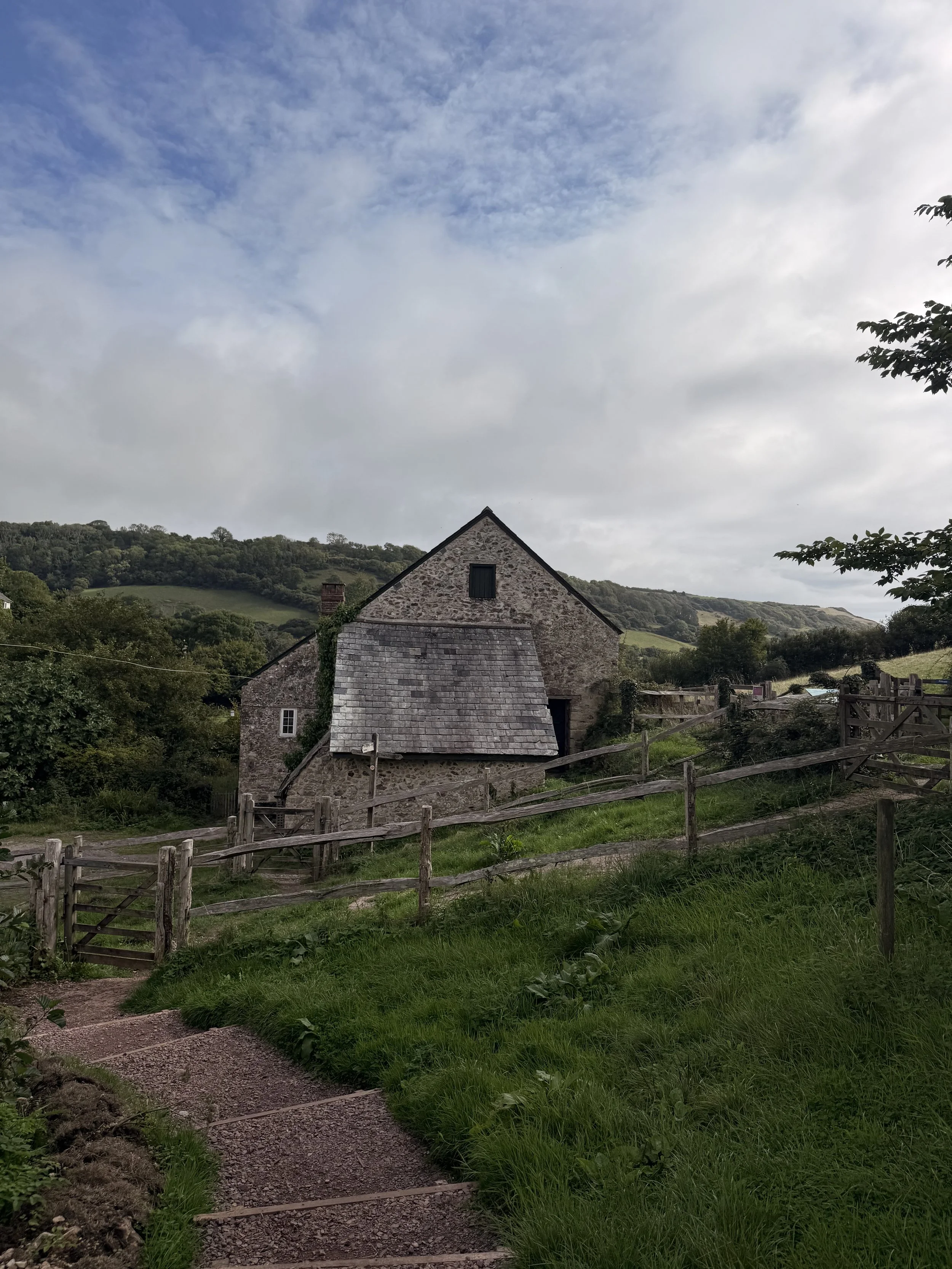
National Trust Manor Mill
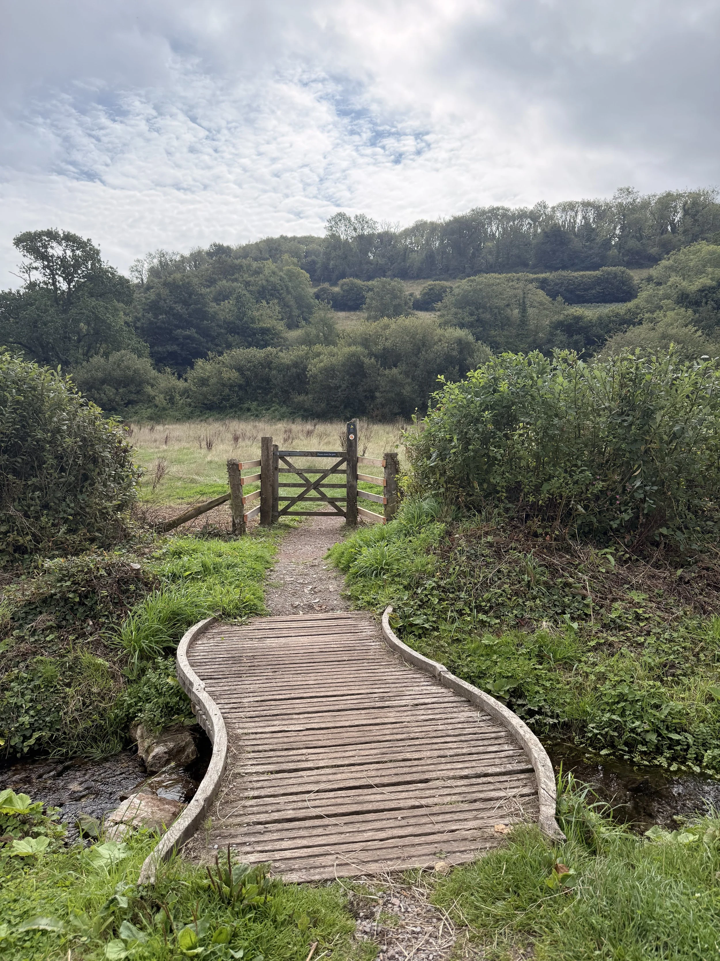
The snaking bridge leading to the orchard
Soon you’ll pass the Old Bakery Tea Rooms on your left and the National Trust visitor information centre and toilets on your right. The Tea Rooms are open on certain days for a refreshment stop (check online for opening times) as is the working forge on the other side of the road. Turn left and walk up the road passing the yellow thatched cottage as you do so. Soon you’ll also pass the church where you’ll be treated to beautiful views of the valley below on your left. We could hear buzzards calling out and circling in the sky above as we continued on up the hill, eventually passing (and ignoring) a footpath sign leading into fields on our left. Be careful of cars passing you as you walk along this road, soon passing Pitt Farm then arriving at a junction in front of a beautiful house named Beehive Cottage. Turn left up this road then up the hill, but keep an eye out for a public footpath to ‘Berry Cliff Coast Path’ just to the right of ‘Rookeries House’. If required, you can have a drink stop at The Fountain Head Inn, just behind Beehive cottage, near the entrance to the footpath.
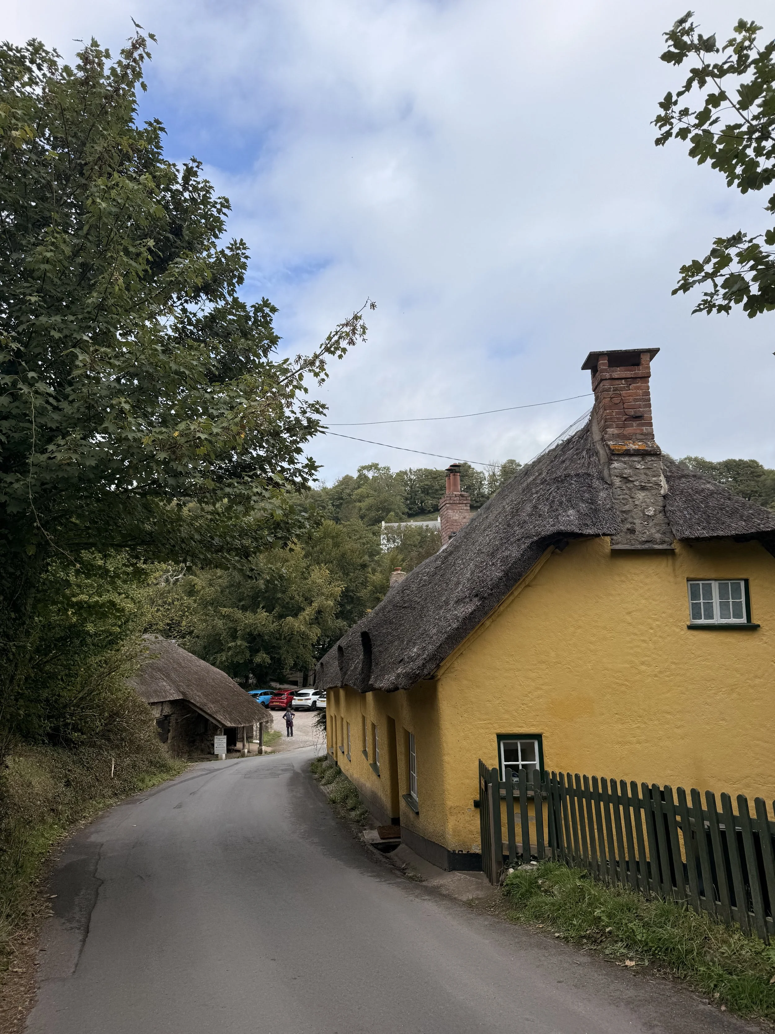
Branscombe Forge and Forge Cottage
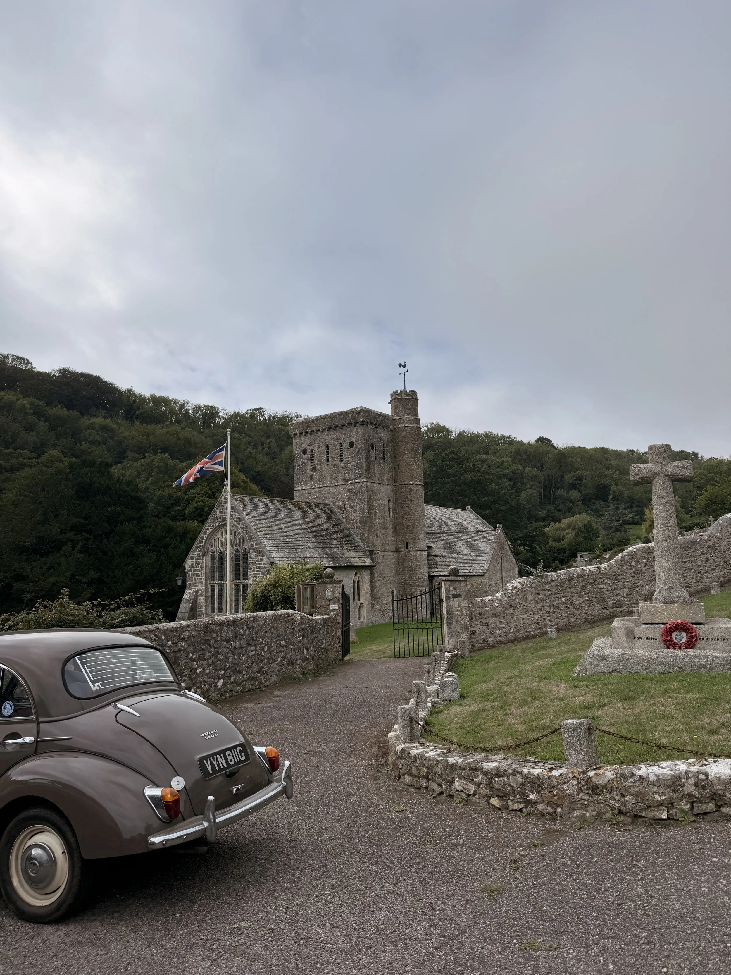
Walking past Branscombe’s Church
We spotted a couple of rabbits along this gravel track as it continued up the hill, up some steps and through a gate into Pit Coppice. Here it can be uneven with rocks and tree roots underfoot, as well as a challenging incline. Luckily the steepness doesn't last long before we leave the woods through a kissing gate and into a field. Continue straight through the field, note that there is evidence that cows graze in here so keep dogs on lead if you do spot any livestock. There will soon be a natural trodden path through the contour of the field, you’ll then arrive at a gravel public footpath. Here you can choose to turn left and take a shortened route back to Branscombe via the coast path, or like us, turn right, adding on an extra stretch of the coast path. We took the track through a metal farm gate, continuing ahead with hedgerows on either side, until you reach a stone walled kissing gate. Pass through the kissing gate on the left (marked as a public footpath), and take the track straight ahead through the field. Soon you’ll be able to see the sea on your left as you follow the track, picking up the South West Coast Path by a signpost. From here, turn left and walk the coast path towards Branscombe Mouth. Here we saw plenty of stonechats on the gorse, and heard a dunnock calling as we passed by.
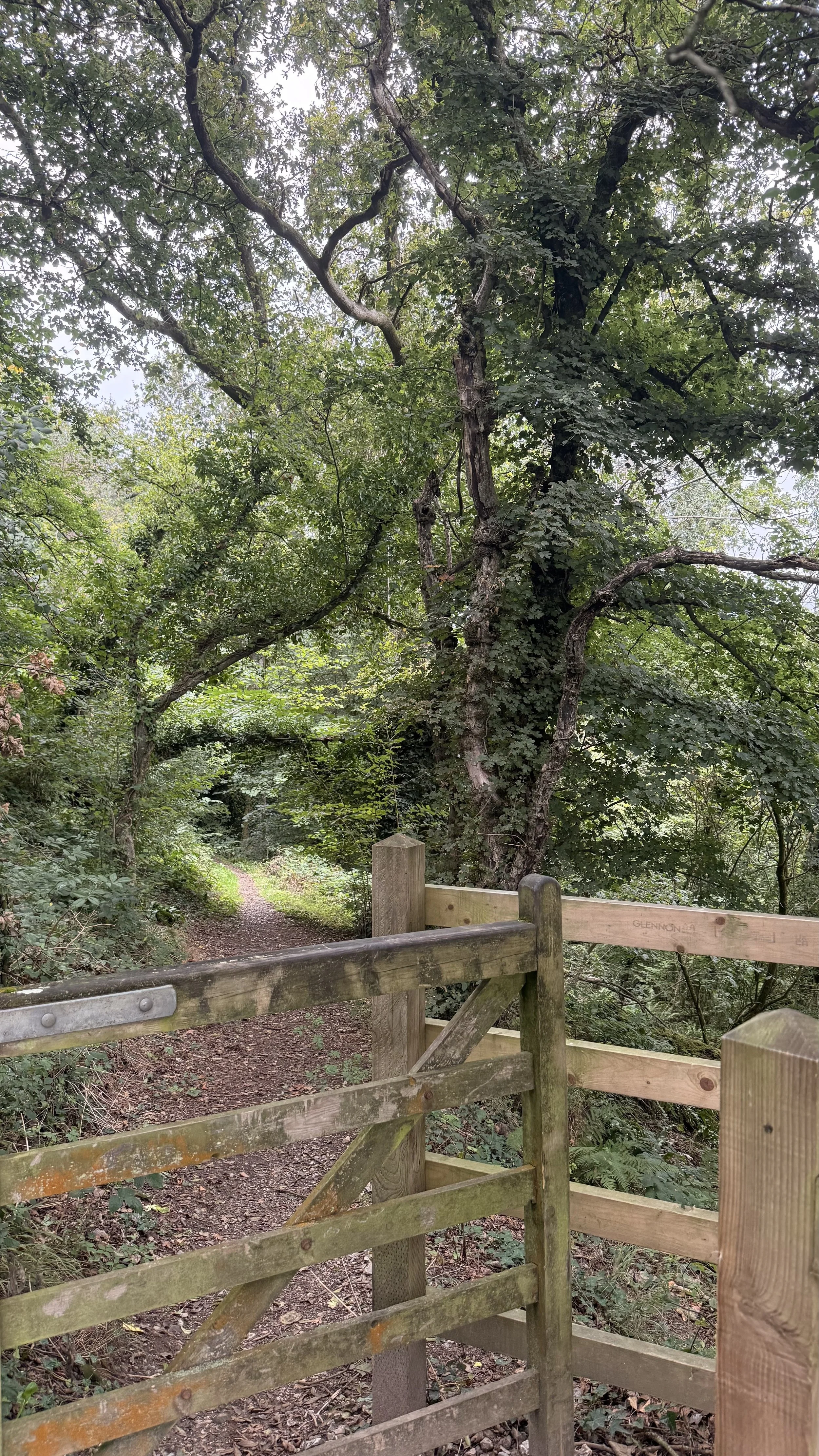
Leaving Pit Coppice
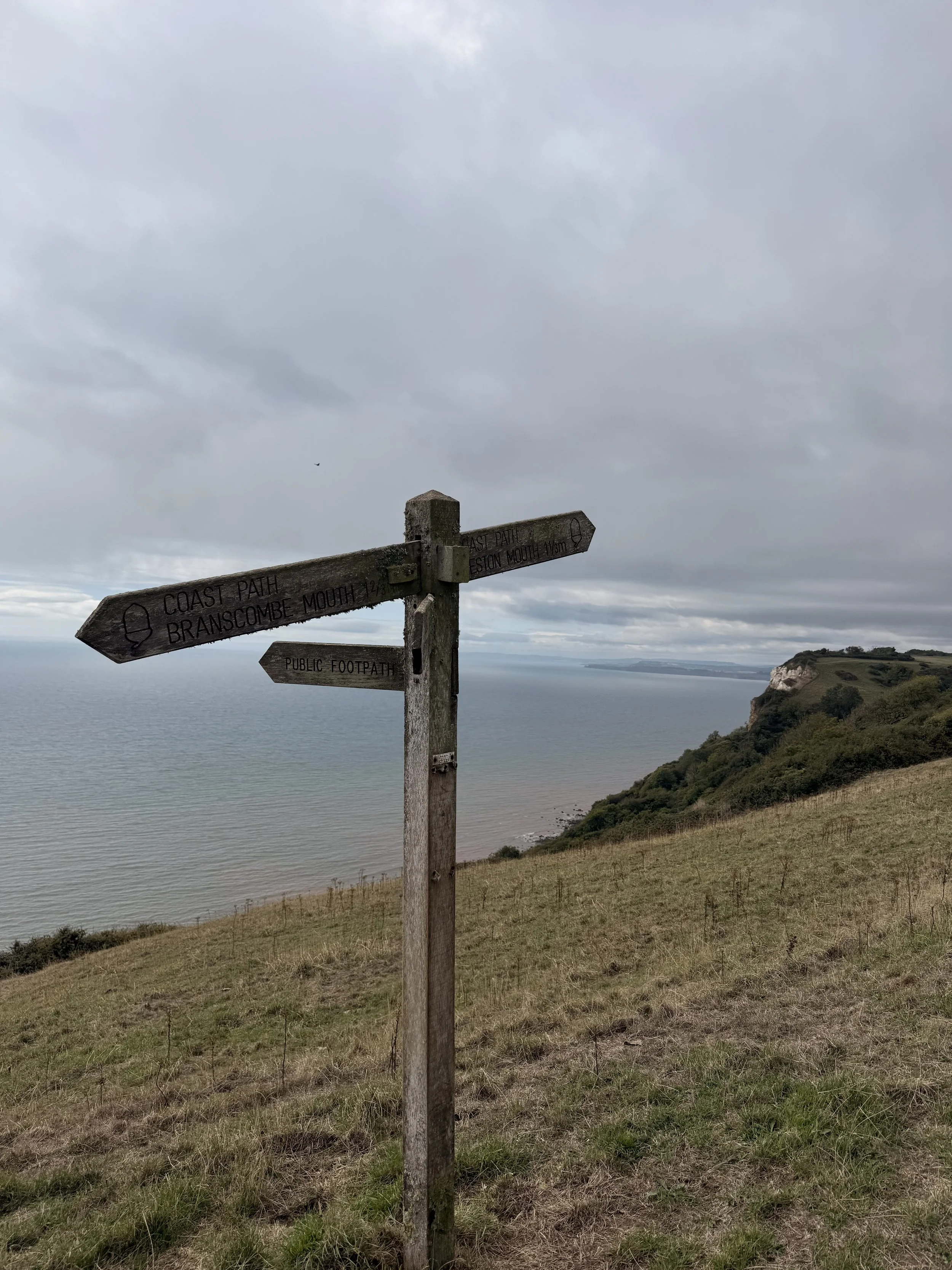
Arriving on the South West Coast Path
As you walk along the coast path, be sure to enjoy the views of the East Devon coastline behind you. On a clear day you can see Sidmouth, Ladram Bay and Straight point near Exmouth. As we passed through a kissing gate to Berry Cliff Camp, we saw so many swallows dipping down and flying low over us, probably the most I’ve seen in one place. Once you pass through another kissing gate, the path will become uneven and stony before opening up into ‘Fluff’s Car Park’. From here, turn left, then at the end of the track turn right, following the coast path signs for Branscombe Mouth. This part of the track was so peaceful and quiet, listening to the sound of blackbirds and robins singing. This path will turn more sheltered with trees and ferns as you pass another sign post pointing you towards Branscombe, thankfully not down the steps to the left of the gate you pass through.
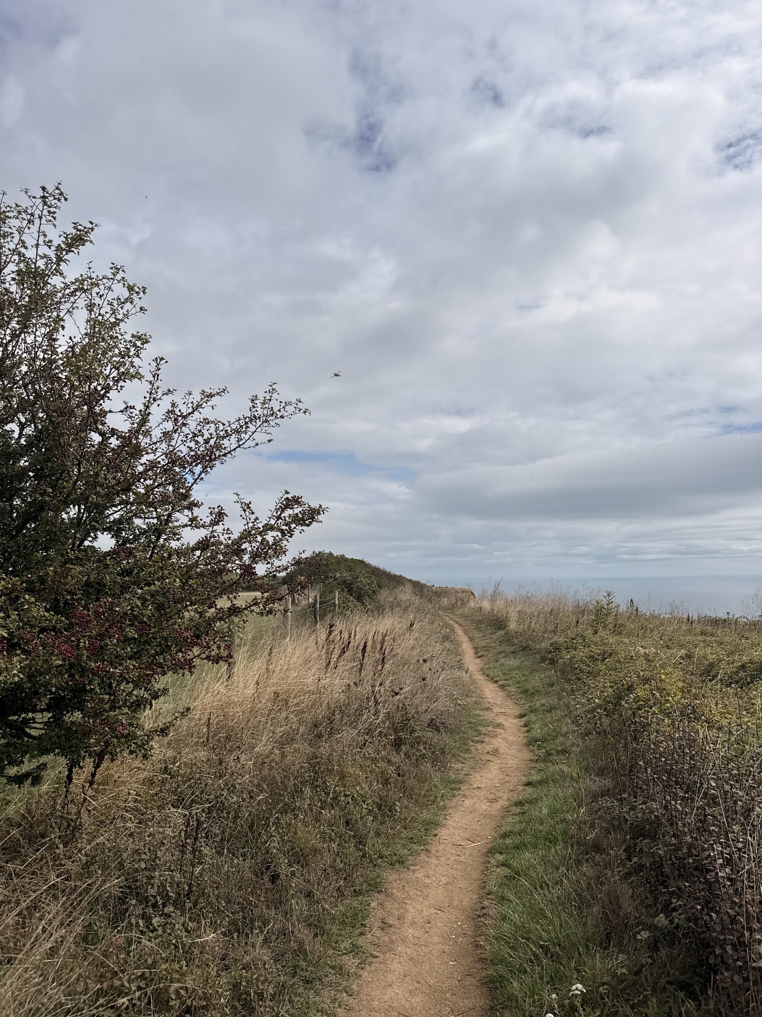
Walking the South West Coast Path
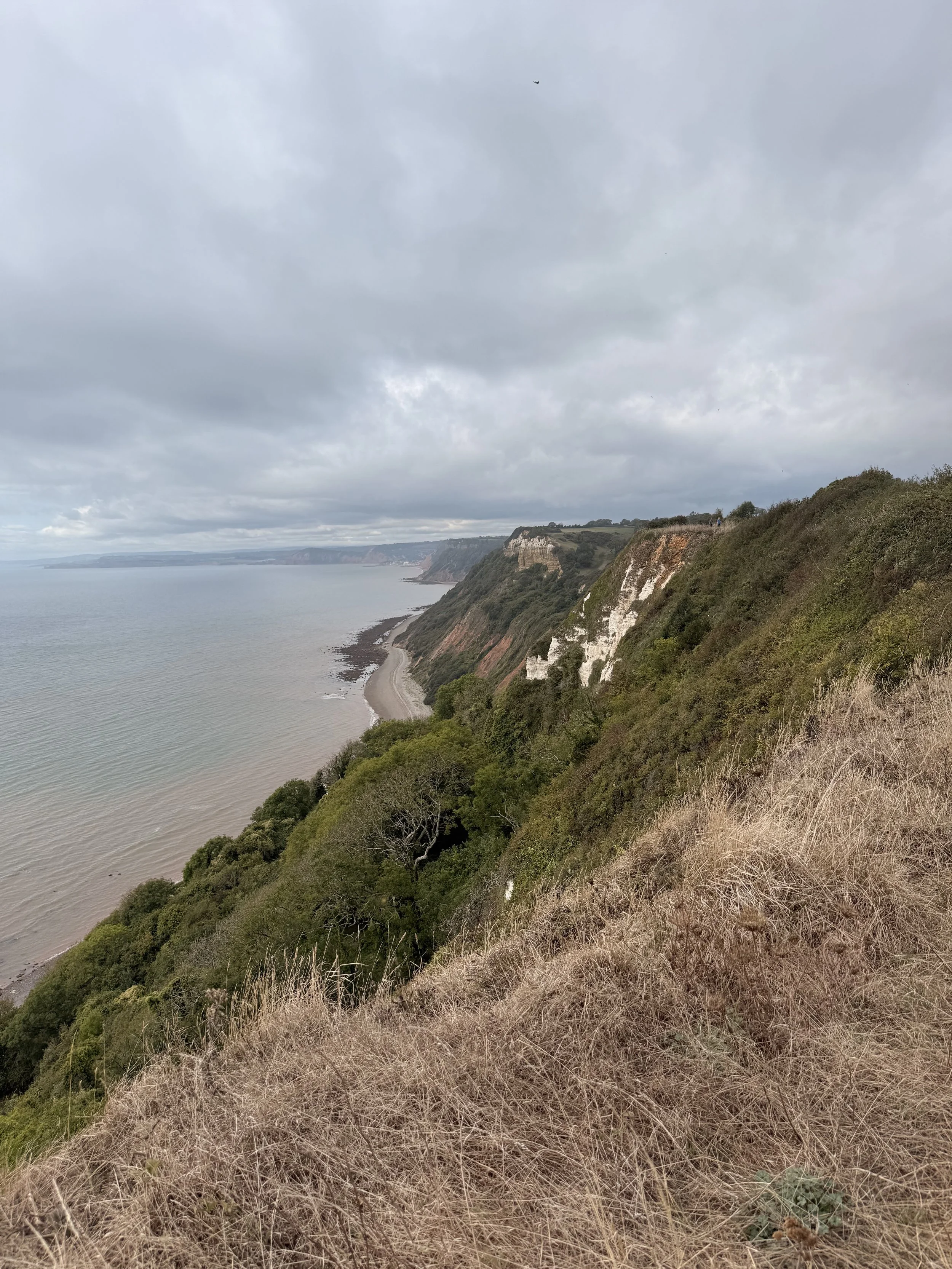
Looking back at the East Devon Coastline
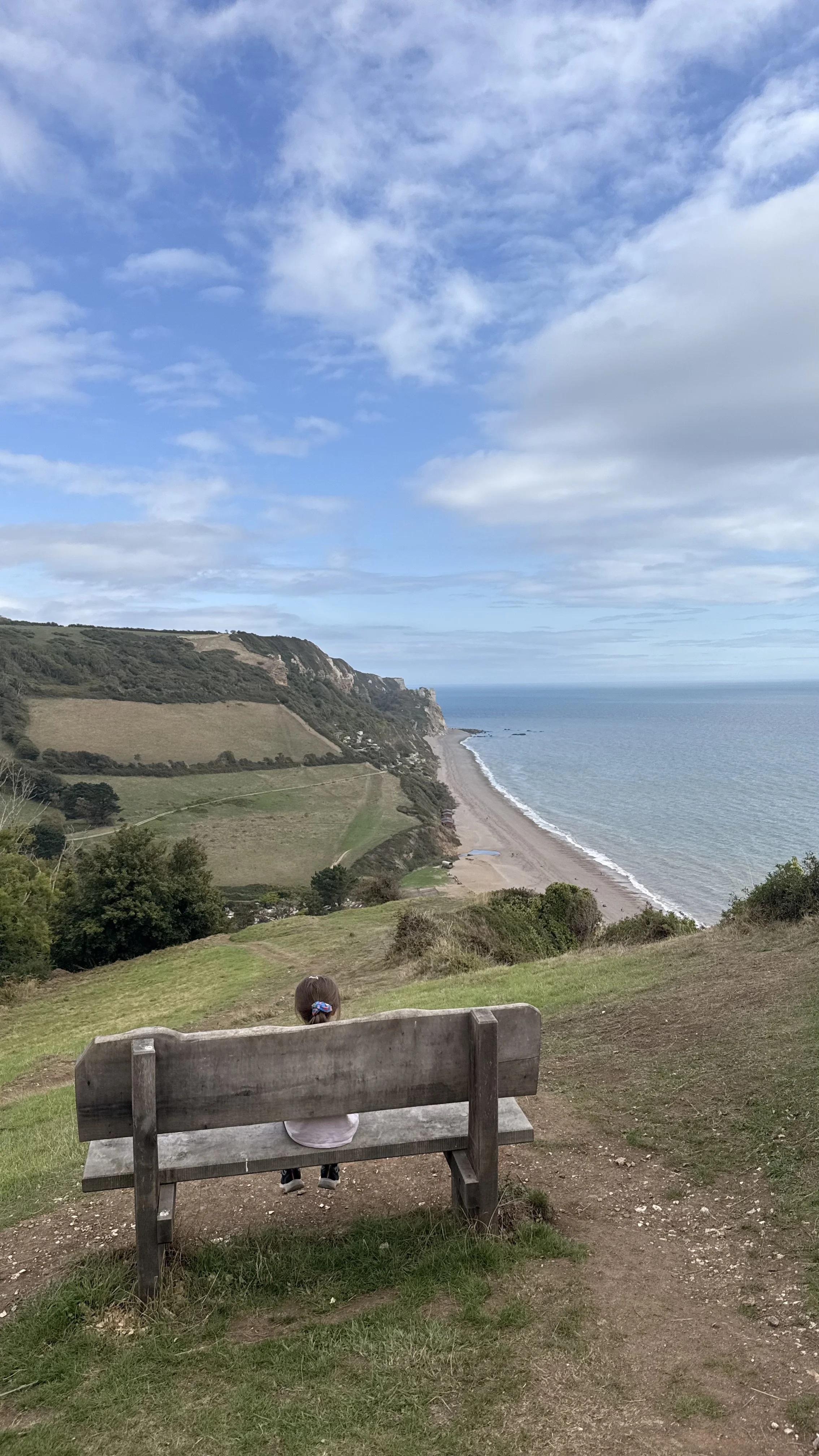
The woodland path will soon open up to a beautiful view of Branscombe Village with the perfectly placed bench to rest and enjoy the view. We sat here for a while looking down at the valley and listening to a raven calling out in the tree just behind us. There were also plenty of butterflies around this area, enjoying what was left of the summer sunshine. Continuing on, we passed through a kissing gate, where eventually the stony path opened up to the sea views of Branscombe Beach. Once again, there was a bench placed here to enjoy the views before heading down the hill, through a kissing gate into a field, where it then takes you to where we first started the walk beside the beach and car park. If you like the look of the steep hill on the other side of the beach, then there is a lovely walk from Beer to Branscombe (and back) that I have previously posted here.
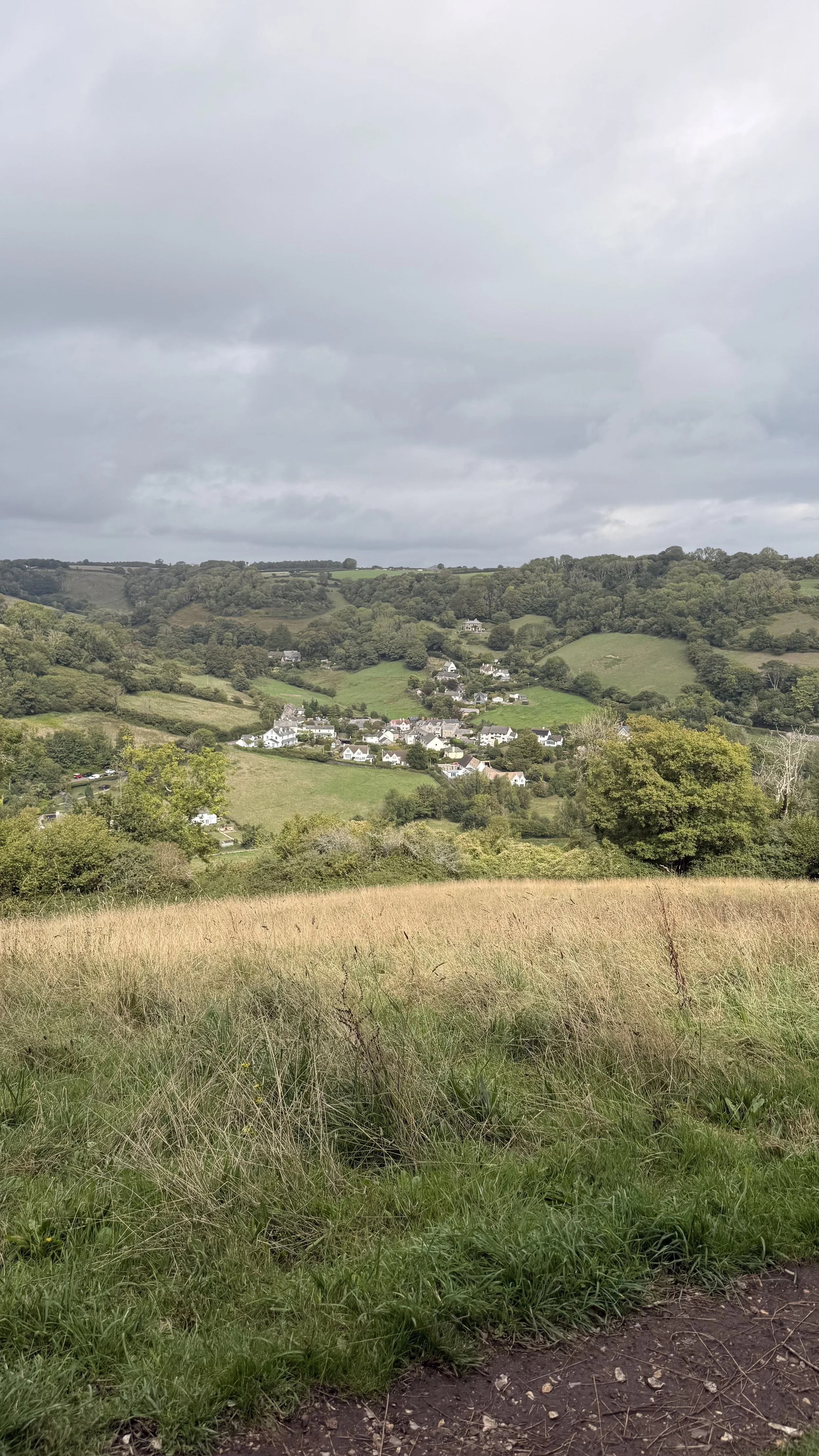
Views of the village
A perfect spot to enjoy the view before heading down the hill
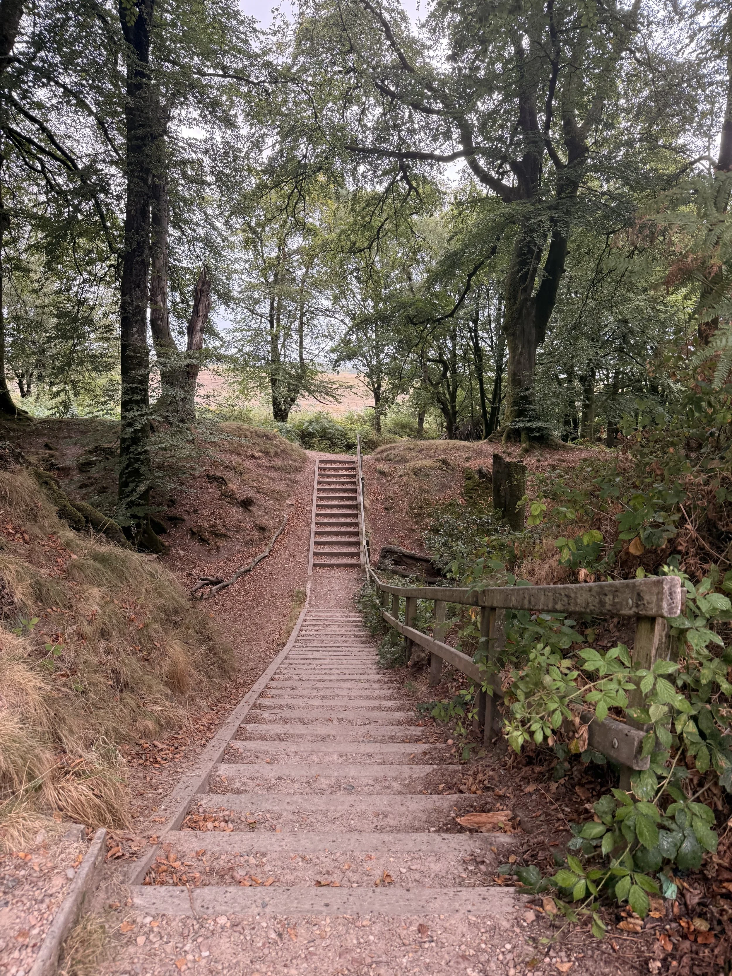
Woodbury Castle to Stowford Woods Circular
This walk starts at Woodbury Castle car park (what3words ///icon.insulated.product) on the Pebblebed Heaths. Parking is free, and there is additional parking across the road if needed. It’s a fairly easy going 3.5mile/5.6km walk which is very dog friendly. There are lots of places for dogs and children to play in streams and enjoy the nature and wildlife that the Pebblebed Heaths has to offer. Sturdy footwear is advised, but in the drier months it’s easily doable in trainers or walking sandals. There aren’t any toilets or cafes along the walk, but Clyst Coffee do park their coffee van up in either car park each week (check their social media to find out which days they are there).
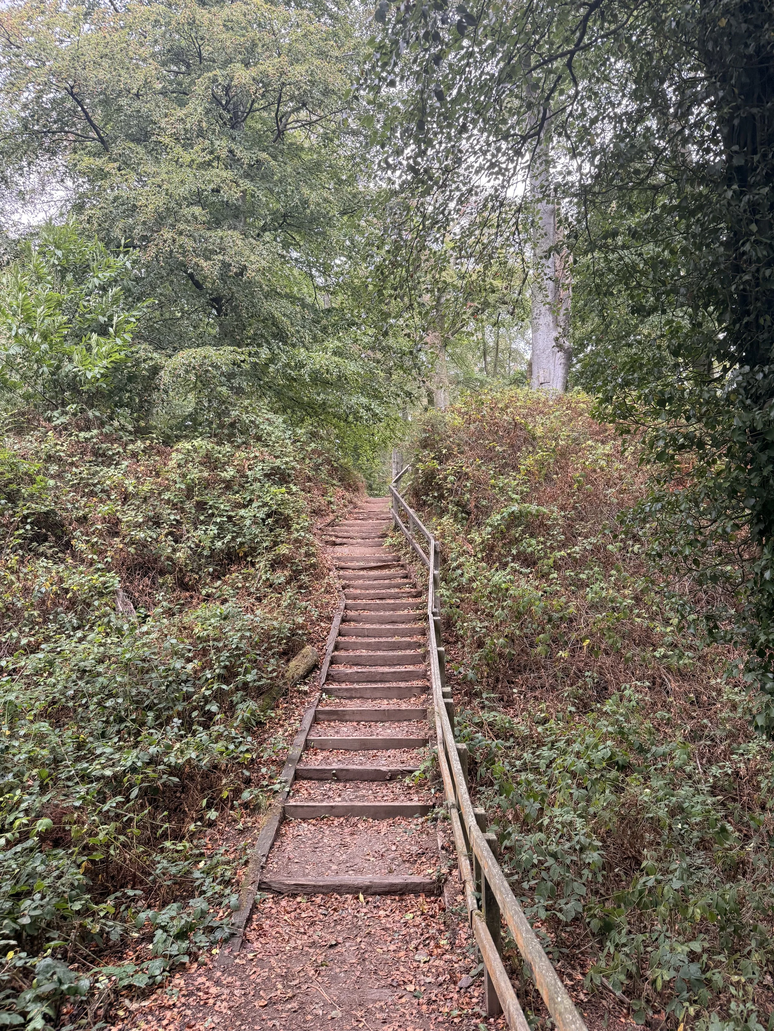
The first set of steps leading to Woodbury Castle Fort
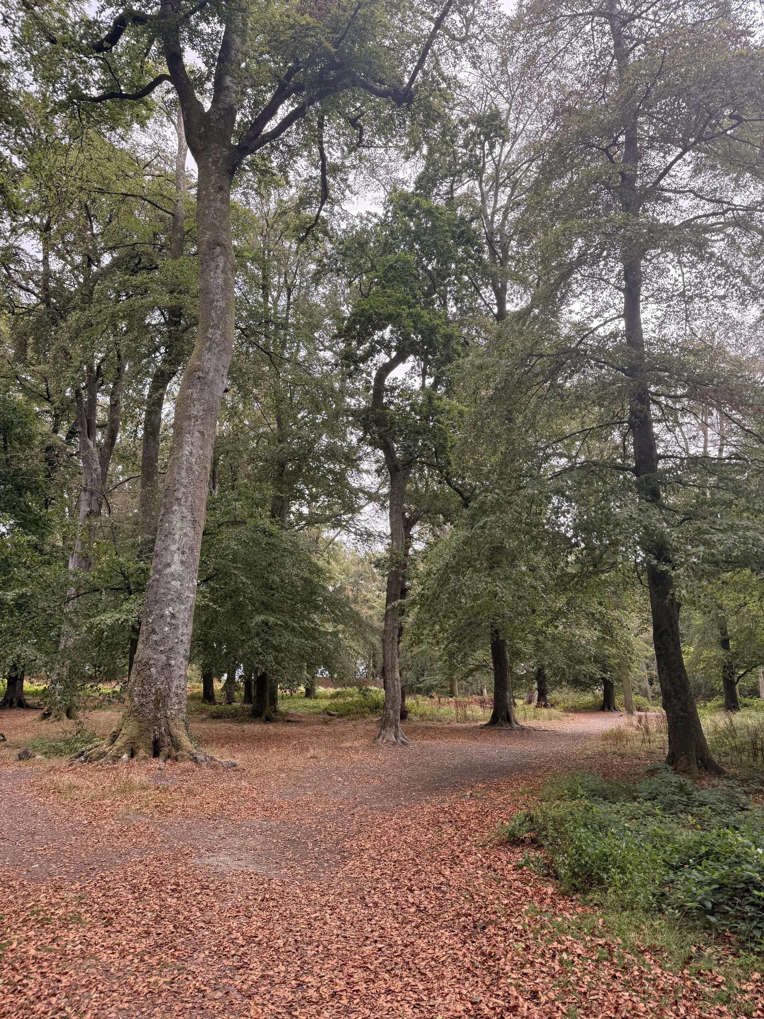
Taking the path to the right
From the car park, take the path to the left, past the Woodbury Castle information sign and walk down (and then up!) the steps in front of you which leads to the old castle fort. From here, take the path to the right and continue on ahead until you spot some more steps over a small bank. Once over these steps, turn right and walk down along the leafy path signposted as the East Devon Way.
The steps out of the castle fort
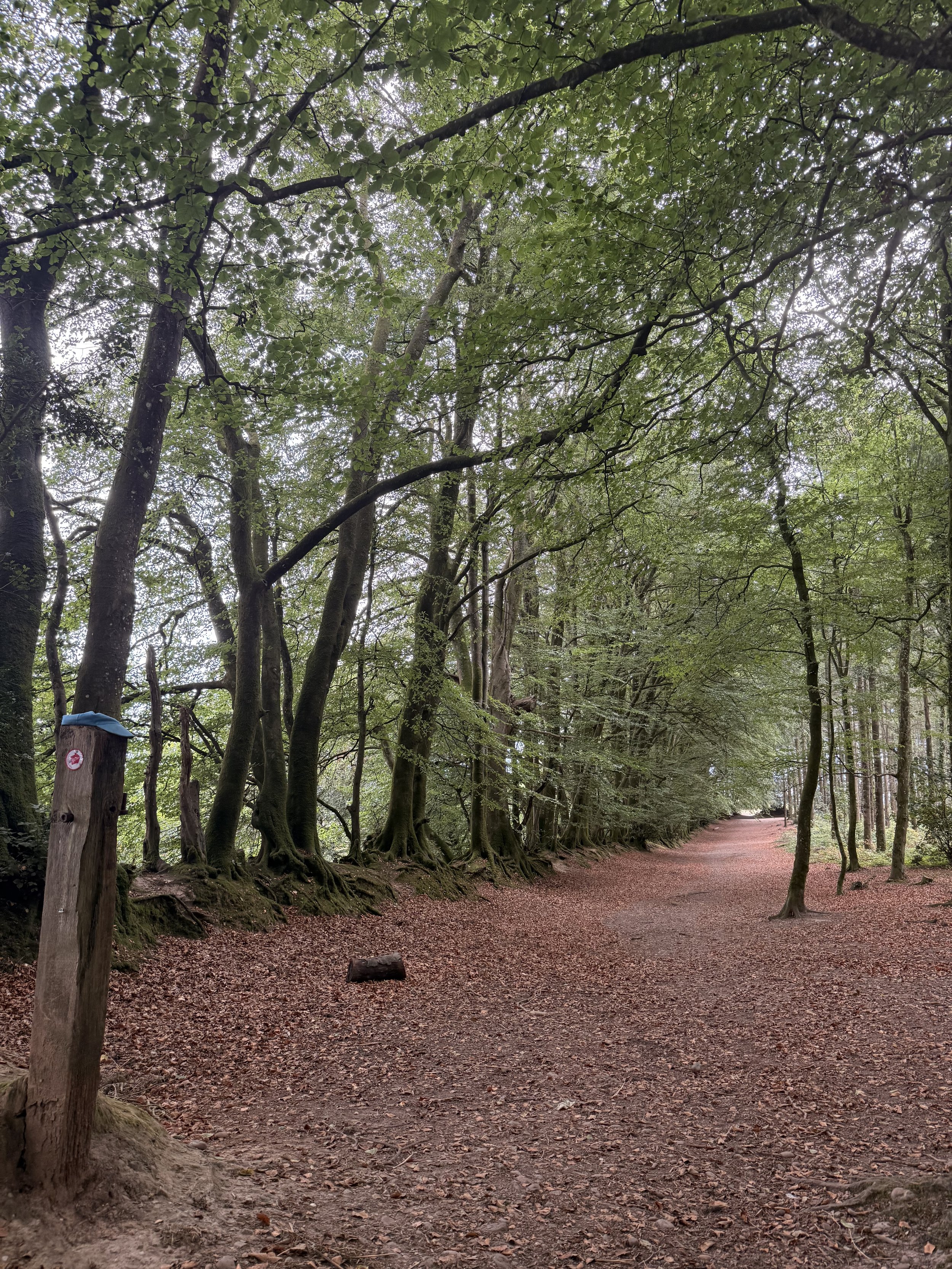
The leafy path that opens up onto the heaths
When the end of this path opens up onto the heathland, take the pebbled track to the left and enjoy the views of East Devon as you continue on ahead. On a clear day it’s easy to spot Peak Hill, Fire Beacon Hill, as well as the sea. I last did this walk in late August when the heather and gorse had really popped with colour. It was also very dry at the time, so the boardwalks you’ll soon walk over weren't necessary that day, but in the wetter months they’re definitely needed to safely cross without getting wet feet! Following this track you’ll soon go down a hill then past a large puddle, again in winter this is much more impressive. Listen out for goldcrests in the trees here, we saw a couple on the right hand side, very well camouflaged in the trees.
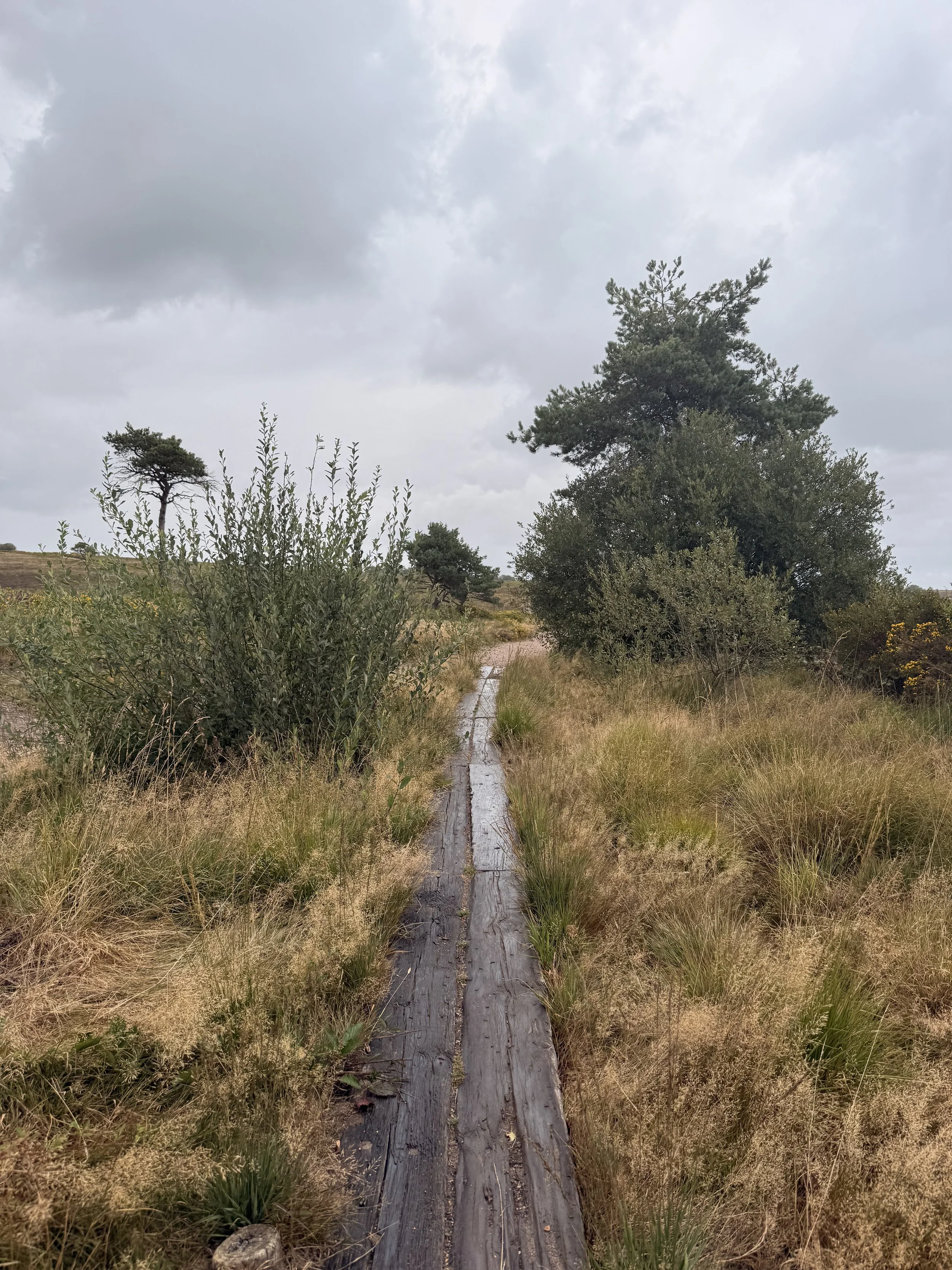
Crossing the boardwalk
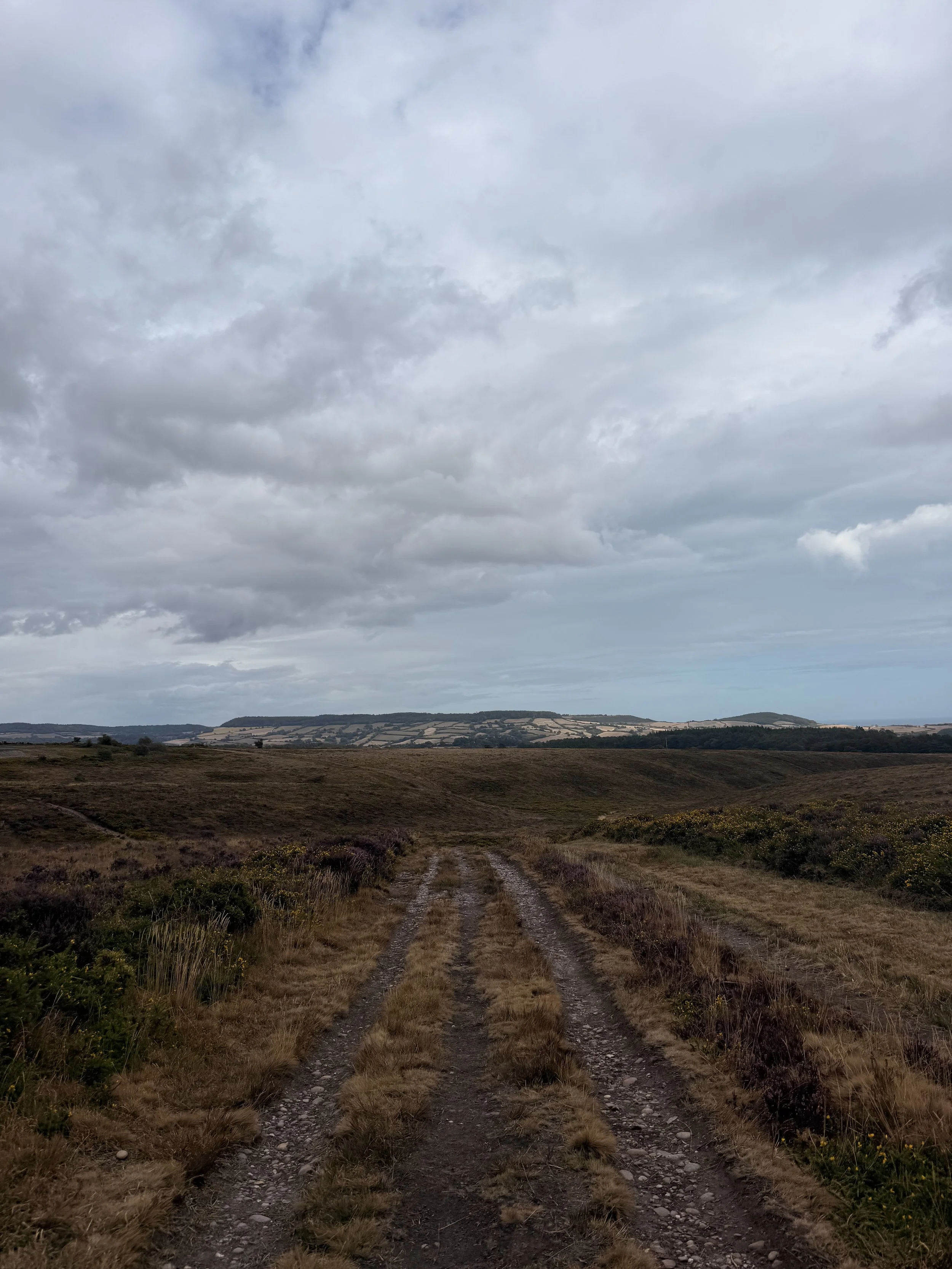
Beautiful views across the heaths
When you get to a hill, take the path to the right where you’re treated to more views of Peak Hill ahead of you now. Don’t forget to look up too, we saw house martins flying over, still here before making their impressive journey back to Africa soon. There were also plenty of stonechats flying around and landing on the gorse around us. We always hear them before we see them, making their iconic ‘stone scratching’ calls. When you arrive at a crossroads on the track, go straight ahead up the hill. Turn left at the end of the path then turn right, Keep a look out for blank bullet cartridges on the ground, used by the Royal Marines when training on the heaths, we usually find some on this walk. Soon you’ll get an option of a path to the left or straight on, here we turned left, spotting a meadow pipit foraging in the long grass as we walked down the hill.
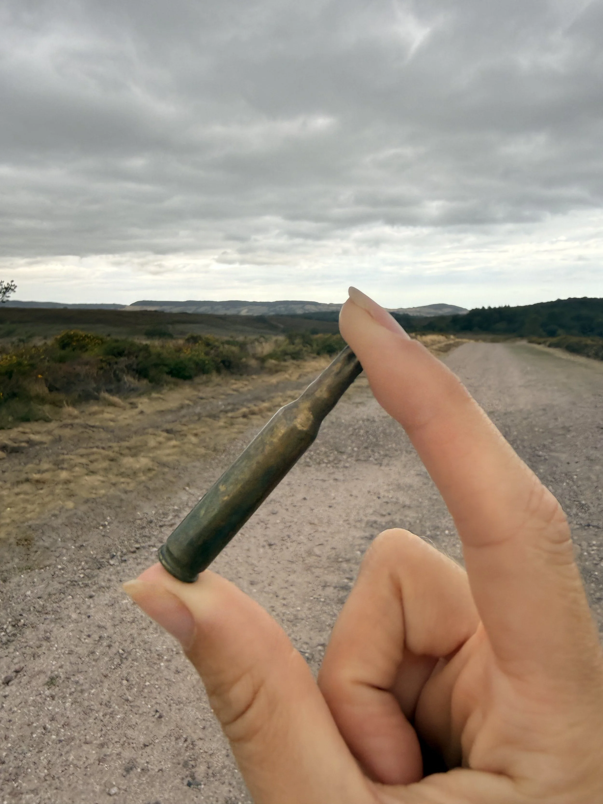
A blank bullet found on the heaths from Royal Marine training
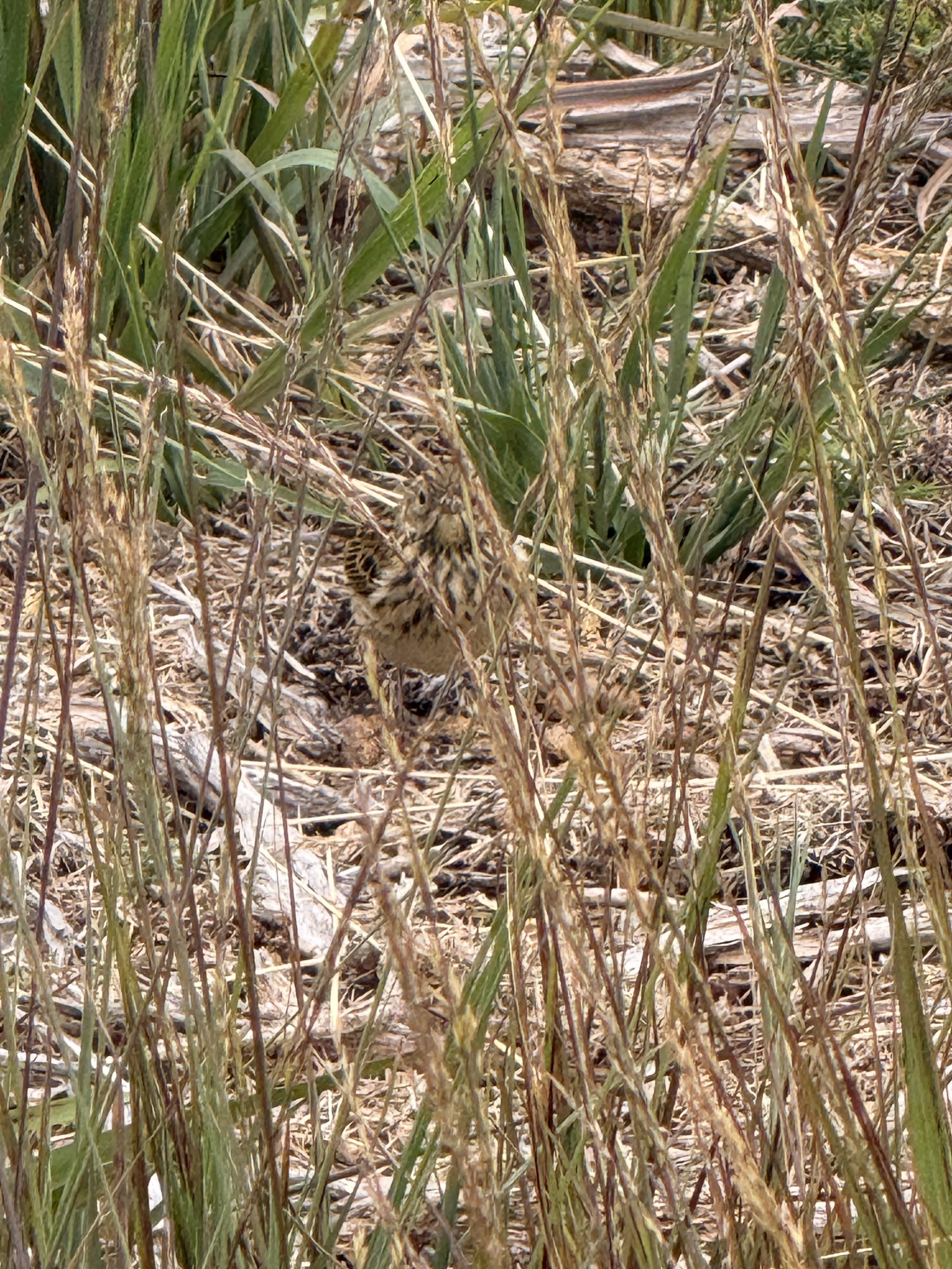
A meadow pipit foraging beside us
Up ahead you should spot the Royal Marine Grenade Range as you carry on straight ahead, then passing a sign warning you about the Military training site. We stopped at one point to have a look in the stream on the right where we spotted plenty of pond skaters and water boatmen. Turn left at the end of this path and walk up the hill towards some pine trees. When you spot an opening in the trees on the right, find a path amongst them and take this route through the woodland of tall trees and towering bracken. Listen out for birds in here, we heard lots of coal tits calling out to each other and a buzzard continuously calling for food from its parents. At the end of this path you’ll meet a gate, turn right down the track, where you’ll soon spot a wooden bridge over a stream. Walk over this bridge then immediately turn right, taking the path into the woods alongside the stream. Here we heard a green woodpecker as we walked up the small bank on the left and continued following the leafy path straight on until it opened up onto a pebbled track. Turn right over some wooden boards then take the path on the right up the hill, continue along this track, where soon you can choose to take a quick detour down an opening on your right, (opposite a bench). Here there is a great stream hidden away, great for dogs and children to play in. After this detour, continue back along the path following the blue arrow sign pointing at the track straight ahead.
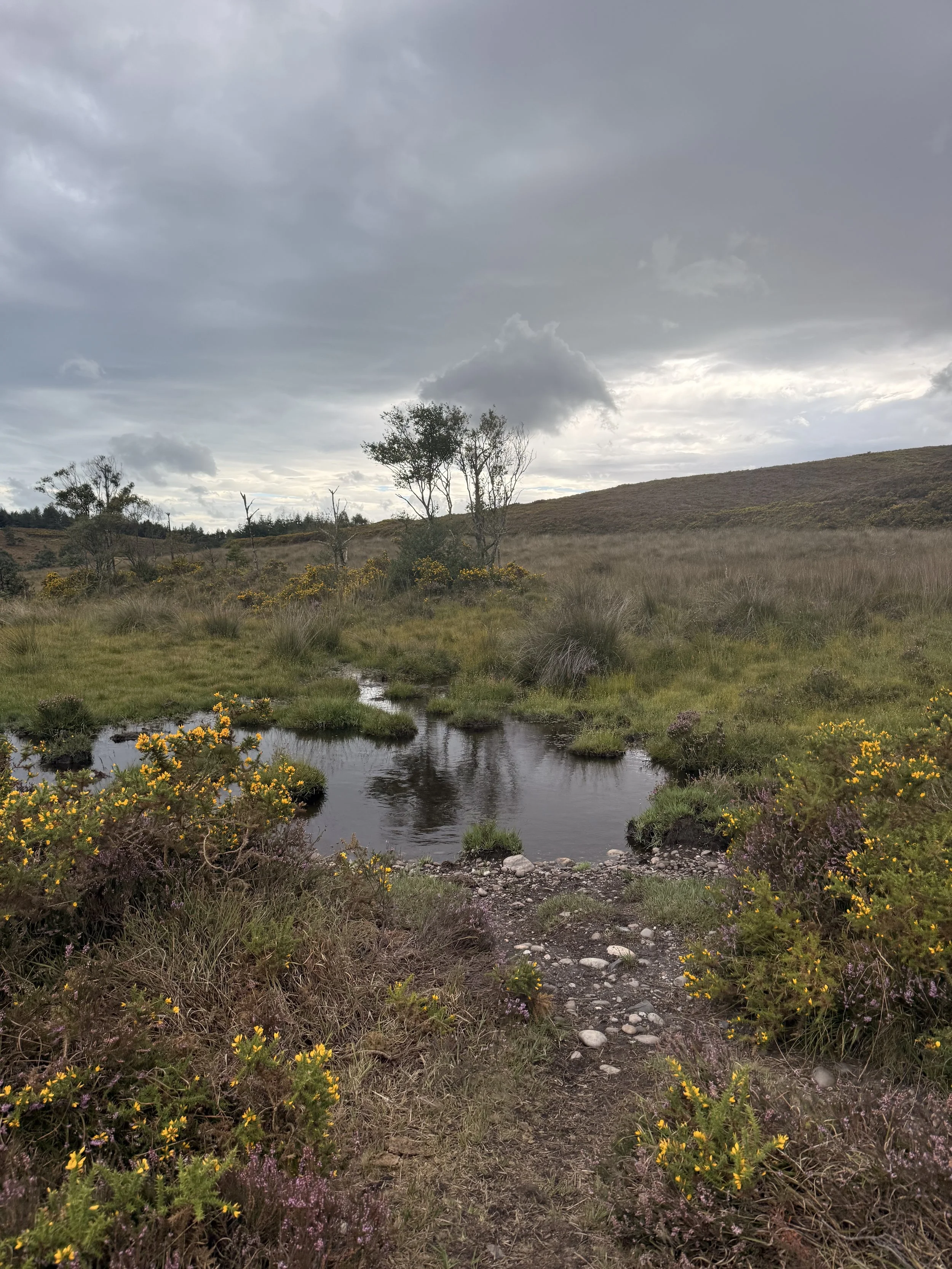
The stream we found water boatmen and pondskaters in
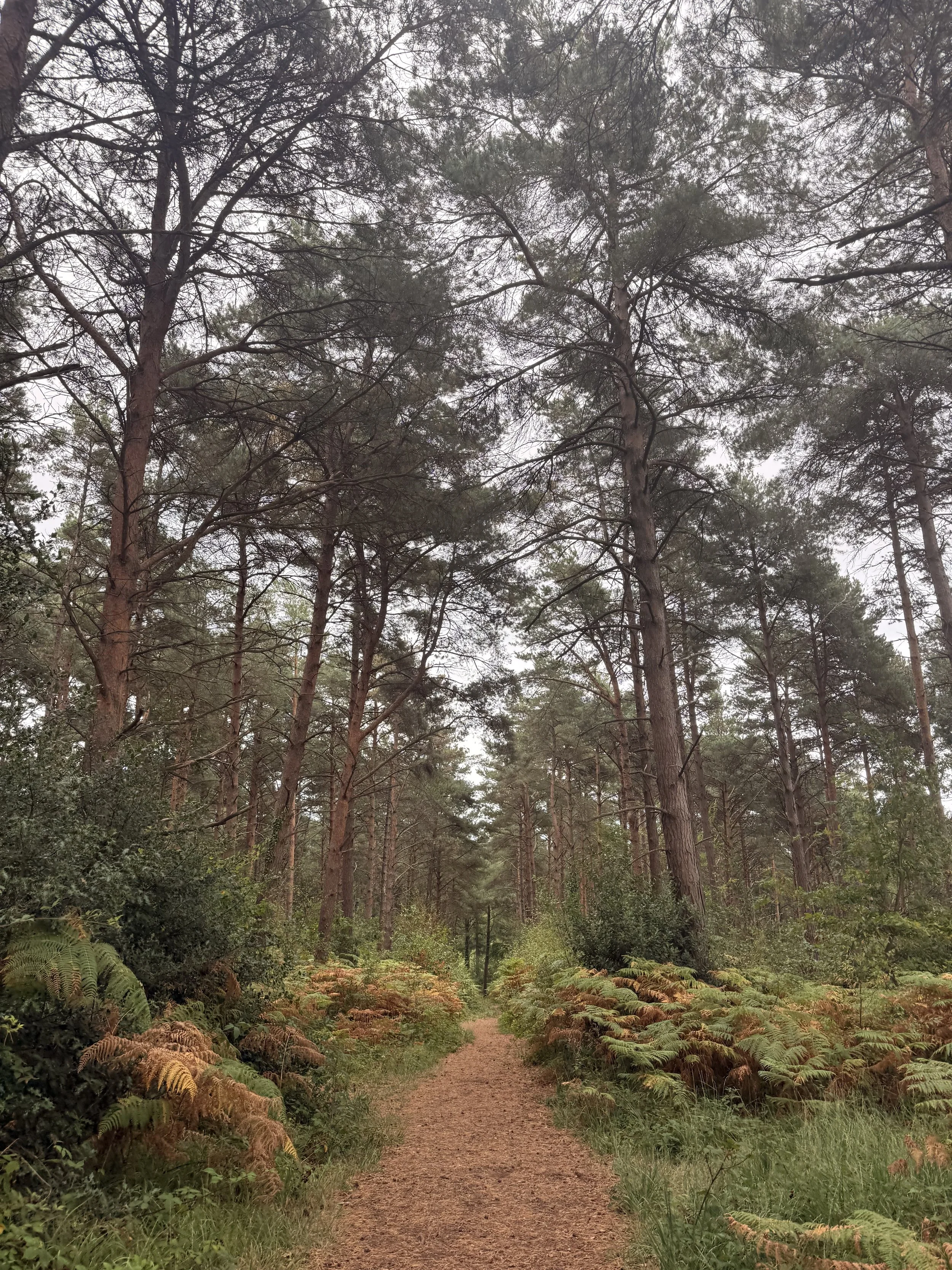
The tall trees and bracken in the woods
When you spot a small opening in the woods on your right, take this path between ferns and very old trees with roots wrapped around their trunks. The stream will once again be on your right now as you walk through this woodland. The path will become a little more uneven with tree roots underfoot, so be careful as you navigate along this route. Follow the path around, walking over branches on the ground used to help cross in wet, muddy weather. Look out for fungi as you turn another corner and walk between trees which then opens up again onto a pebbled track. Leaving the woods behind, turn right and walk up this pebbled track where you’ll pass a ‘pool’ on your right, a popular swimming spot for dogs. We heard long-tailed tits in this area as we continued on ahead, ignoring any paths that branch off of this main track.
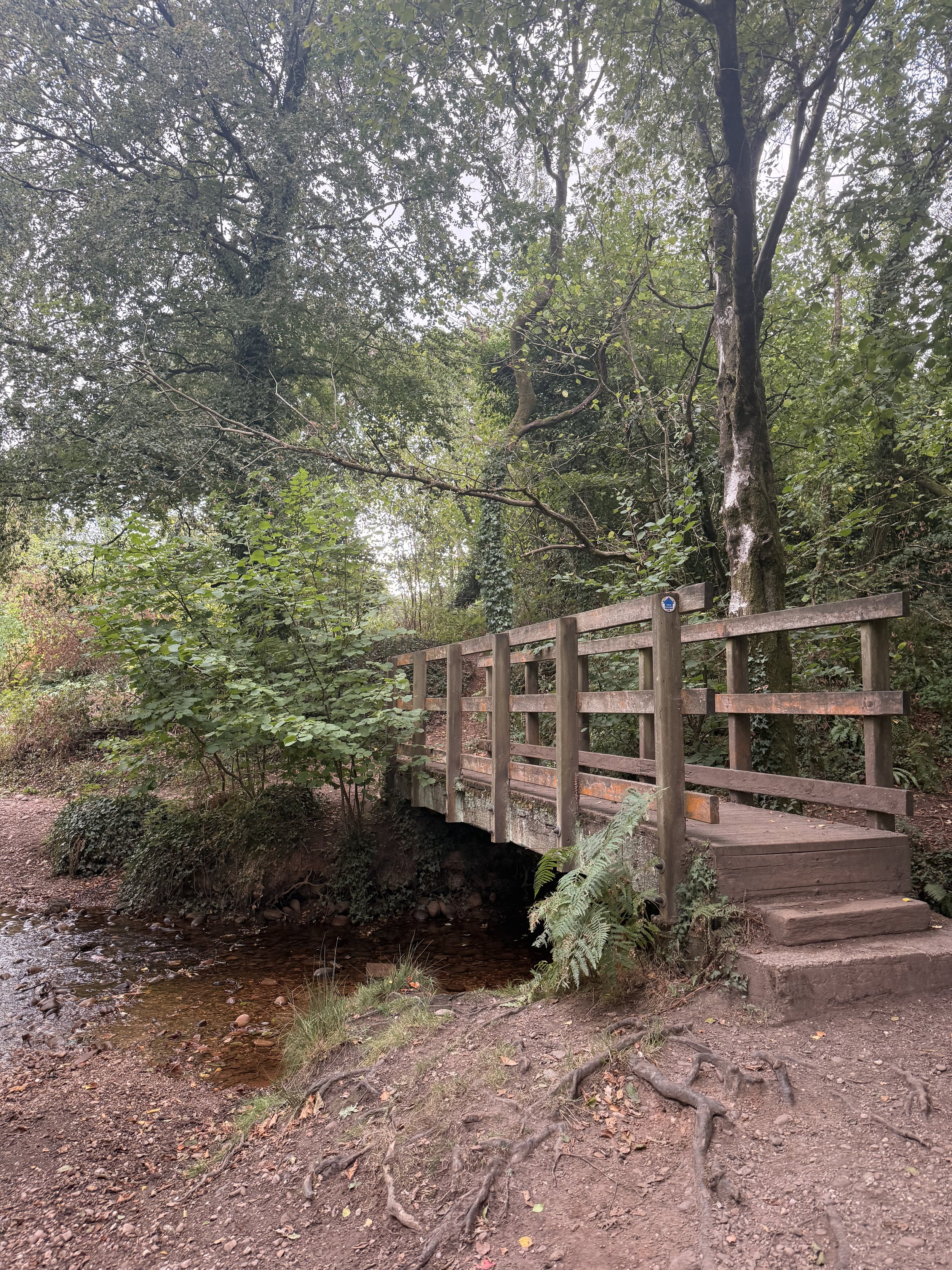
The bridge crossing a stream at Stowford
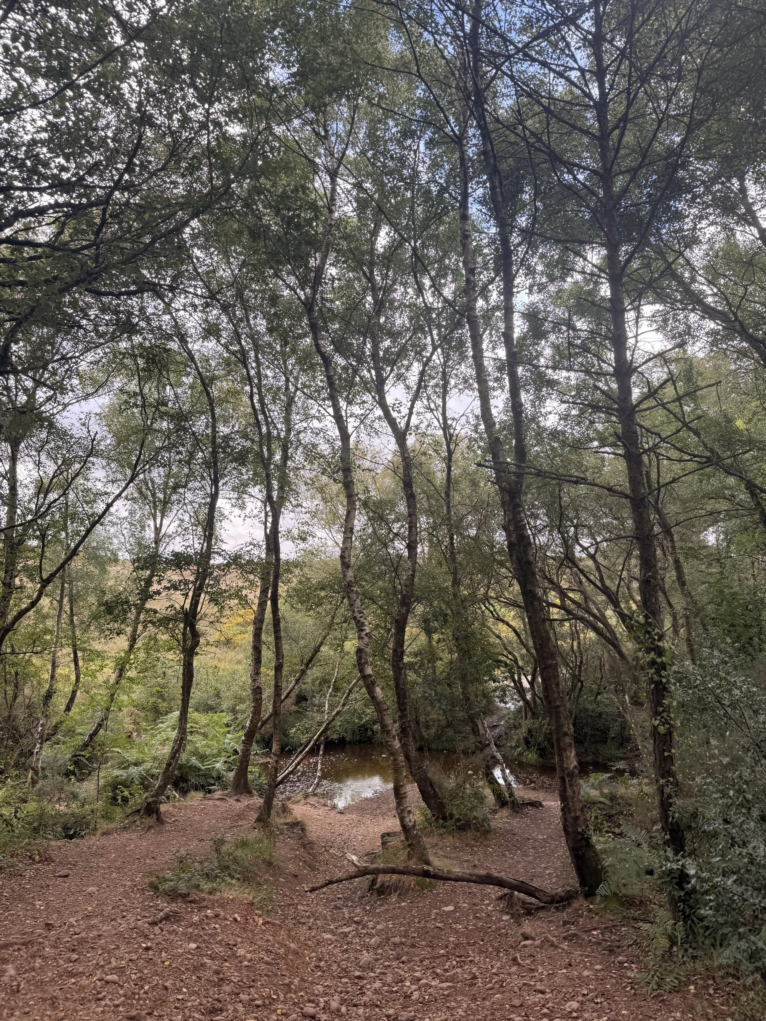
Take a detour down to the stream amongst the trees
You might be able to spot the path we took earlier, on the right hand side of the heather and gorse where the grenade range is. This is a steady track you’re now walking, back to Woodbury Castle Fort, (the trees up ahead surround the fort). When you get a choice of paths to take by a blue arrow post, turn left and continue along this path, ignoring any paths on your right unless you want to walk back through the fort again. We’re taking the track around the outside of the hill fort where soon you’ll complete the walk, ending back at the car park we started in. If you liked this walk, keep an eye out on my instagram page for more walks going up soon in this area.
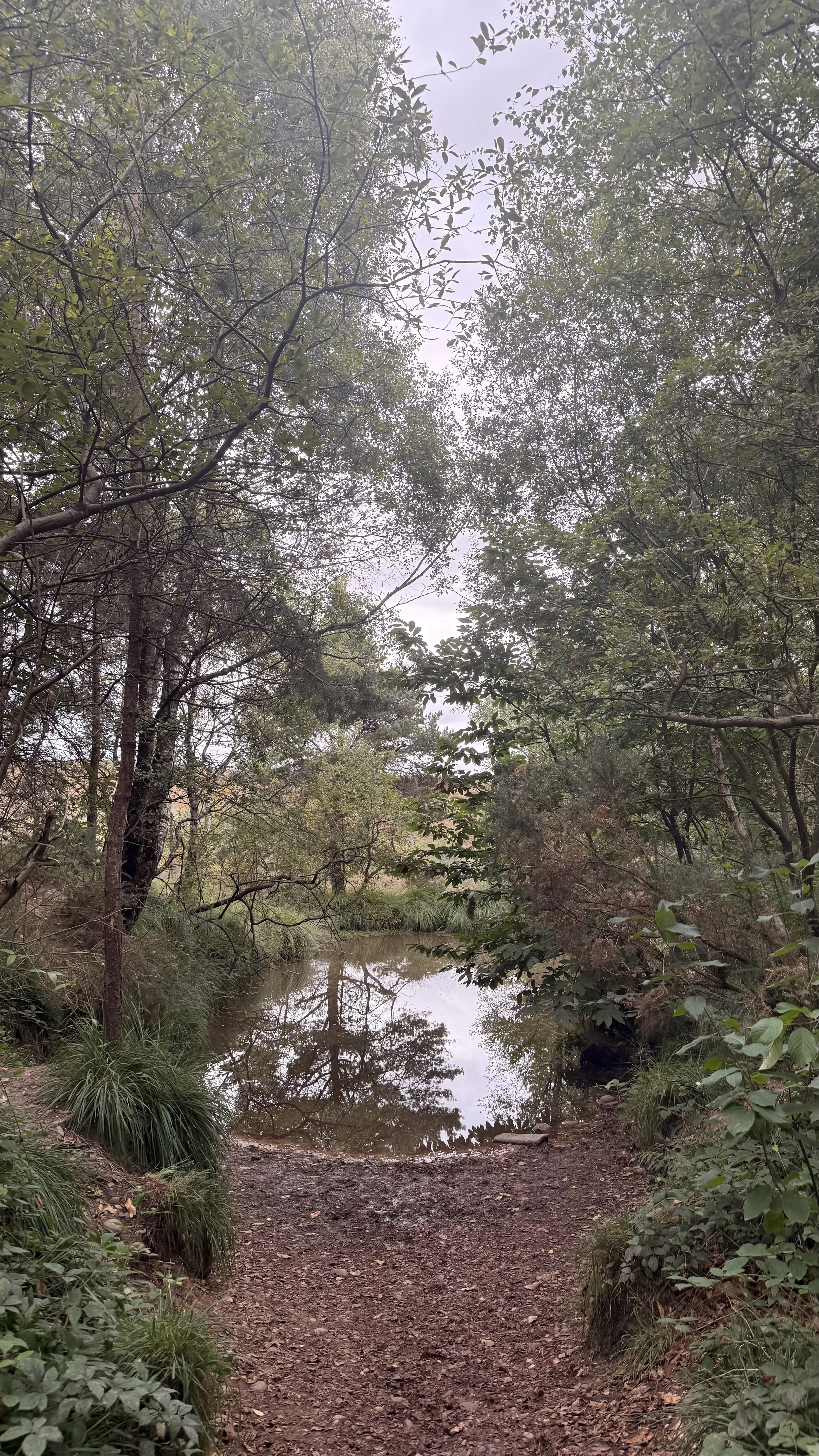
A popular swimming spot for dogs
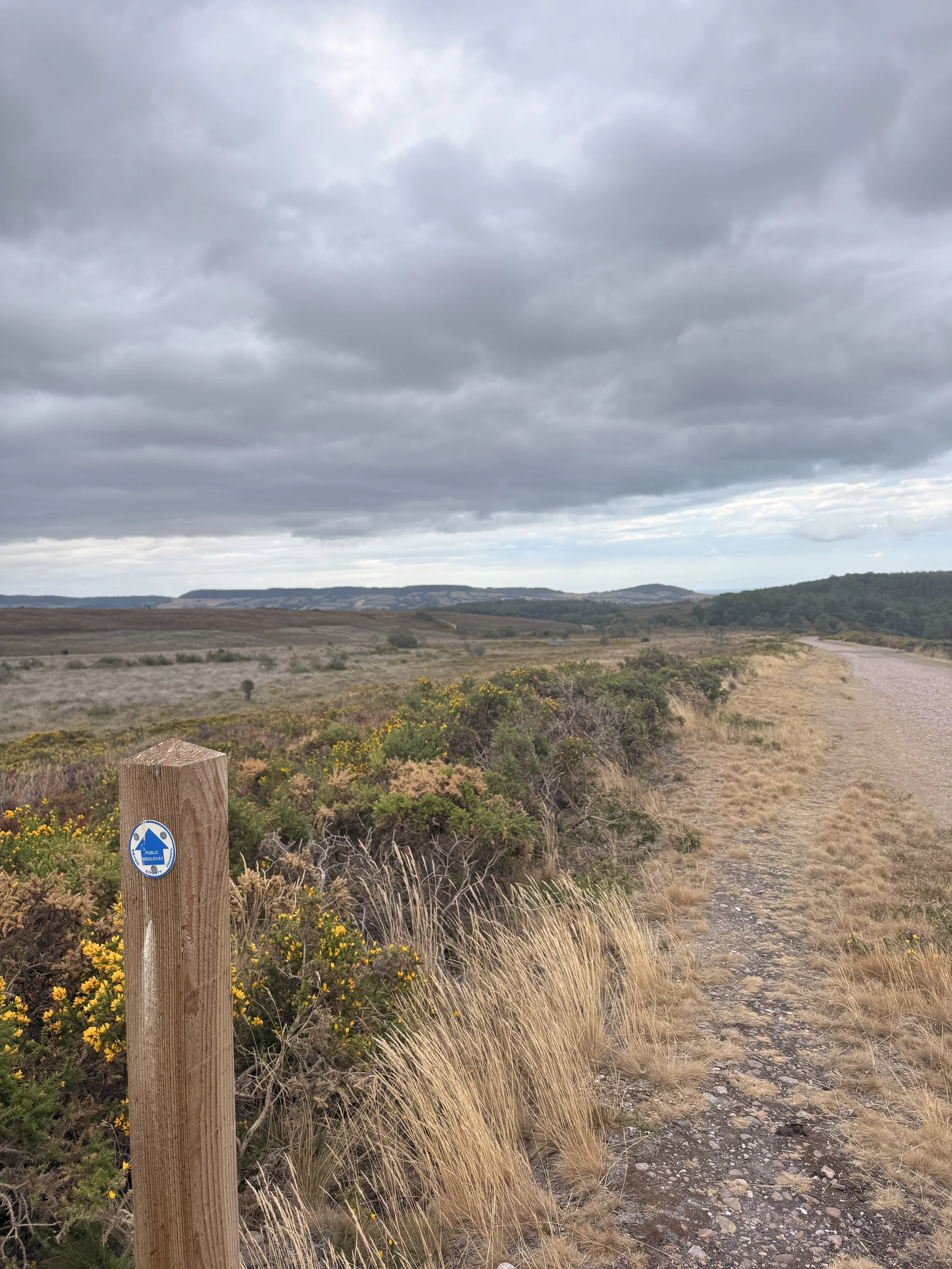
Nearing the end of the walk, looking back on the path we walked