A selection of a few adventures and days out around Devon and beyond.

Bicton Common Circular Walk
This 3.3mi/5.3km walk on the Pebblebed Heaths starts and ends in Four Firs free car park (what3words: ///leathers.taller.ruling). It takes you over the heaths, along rugged tracks, through woodland, over a stream and alongside an old quarry. Sturdy footwear is definitely advised for this walk due to the uneven terrain, with inclines in places, as well as the need to cross a stream. A dog friendly walk with dog bins in the car park. Cattle and ponies do graze on the heaths at certain times of the year, so dogs will need to be under control if you come across any livestock. There are no refreshment stops or toilets on this route, but Clyst Coffee do park up their mobile coffee van regularly in the car park (check their social media for updates), as well as Winkleigh Farm’s honesty cafe close by in Sanctuary lane. Kings Garden Centre is also just down the road towards Exmouth.
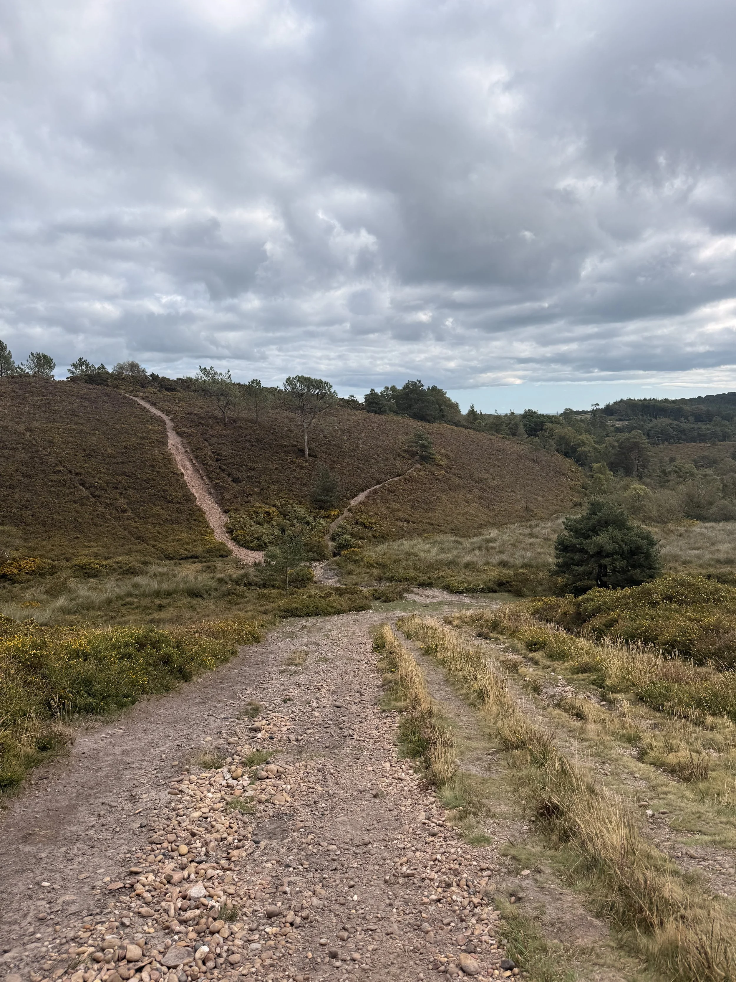
Walking a pebbled track on the common
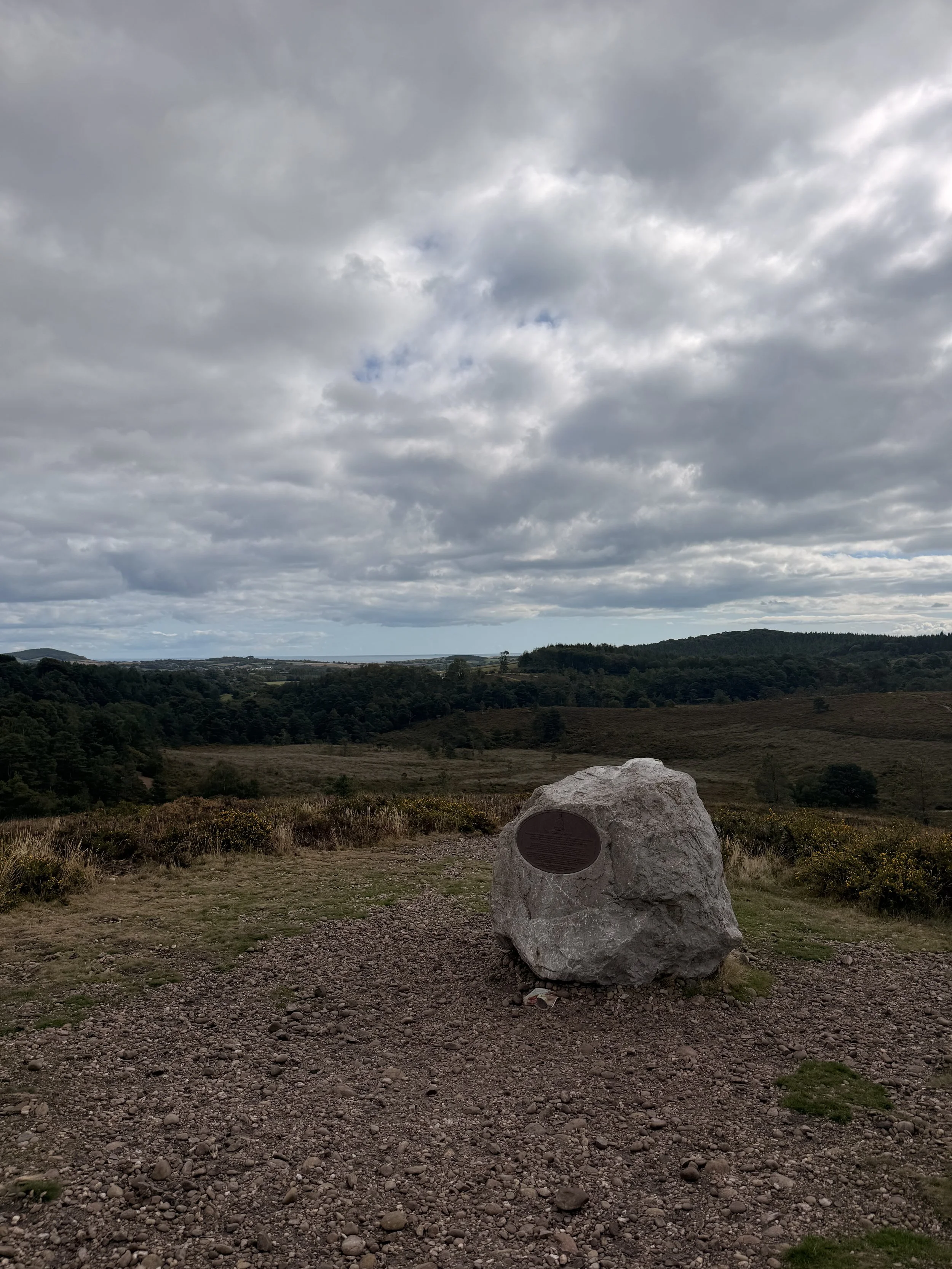
The Gibraltar Stone
From the Four Firs car park, take the gate to the far left (left of the information sign), walking the track directly ahead of you. You should be able to see the beautiful views in the distance of rolling hills and the sea as you continue along this route, ignoring any paths that come away from this main track. You’ll soon be walking up a slight incline, listen out for the scratchy tone of the dartford warbler in this area, I heard one, then saw it perched on top of the yellow gorse as I walked down the hill. Once at the bottom, turn right and walk up the pebbled track, luckily avoiding the steeper hill on the left! At the top of the hill, turn left down a path that takes you to the Gibraltar Stone (a large rock brought over from Gibraltar to commemorate the 350th anniversary of the Royal Marines who train on the common). Here there are panoramic views of the heaths, sea views and East Devon countryside.
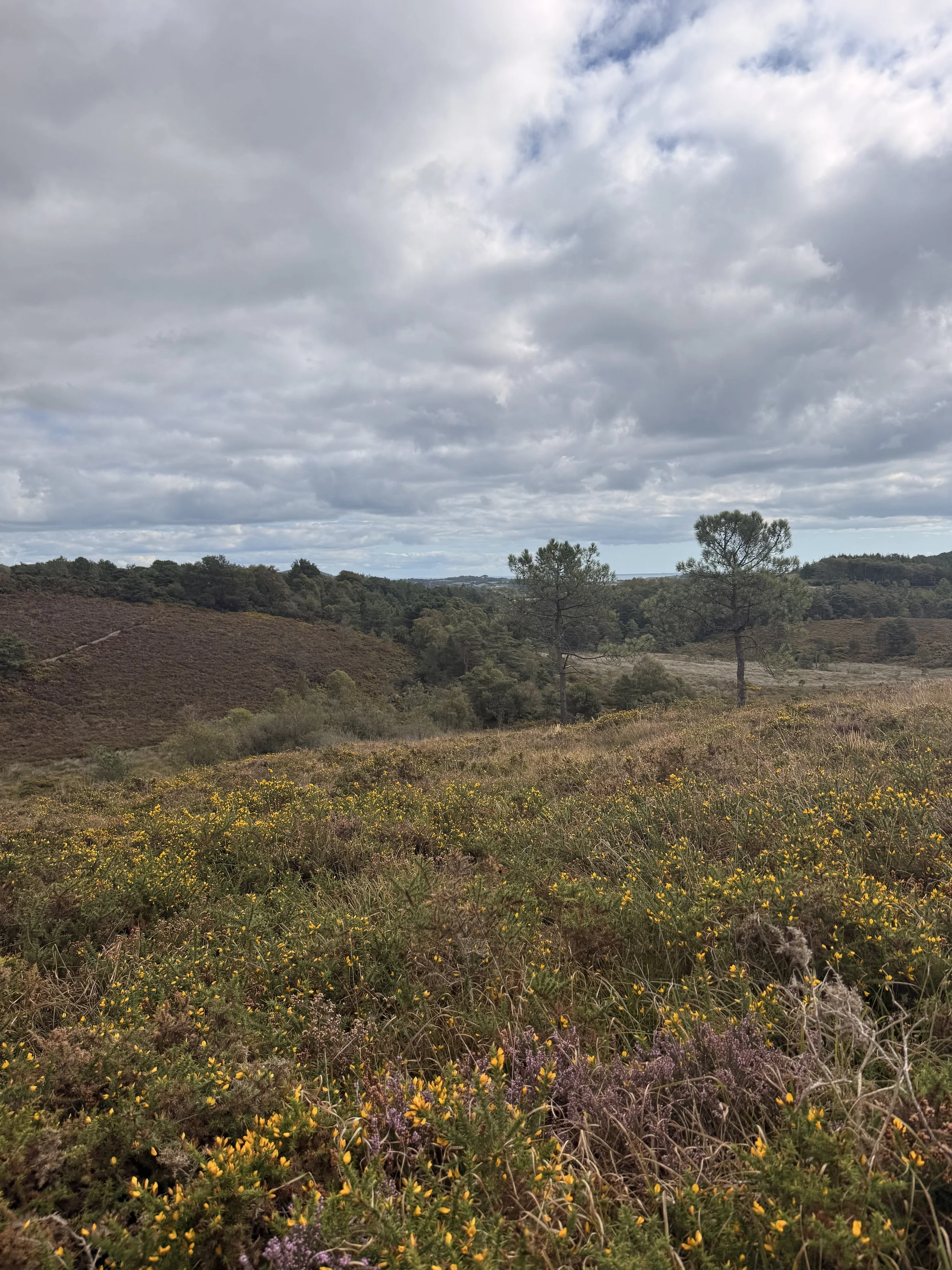
Heather and gorse bringing colour to the heaths
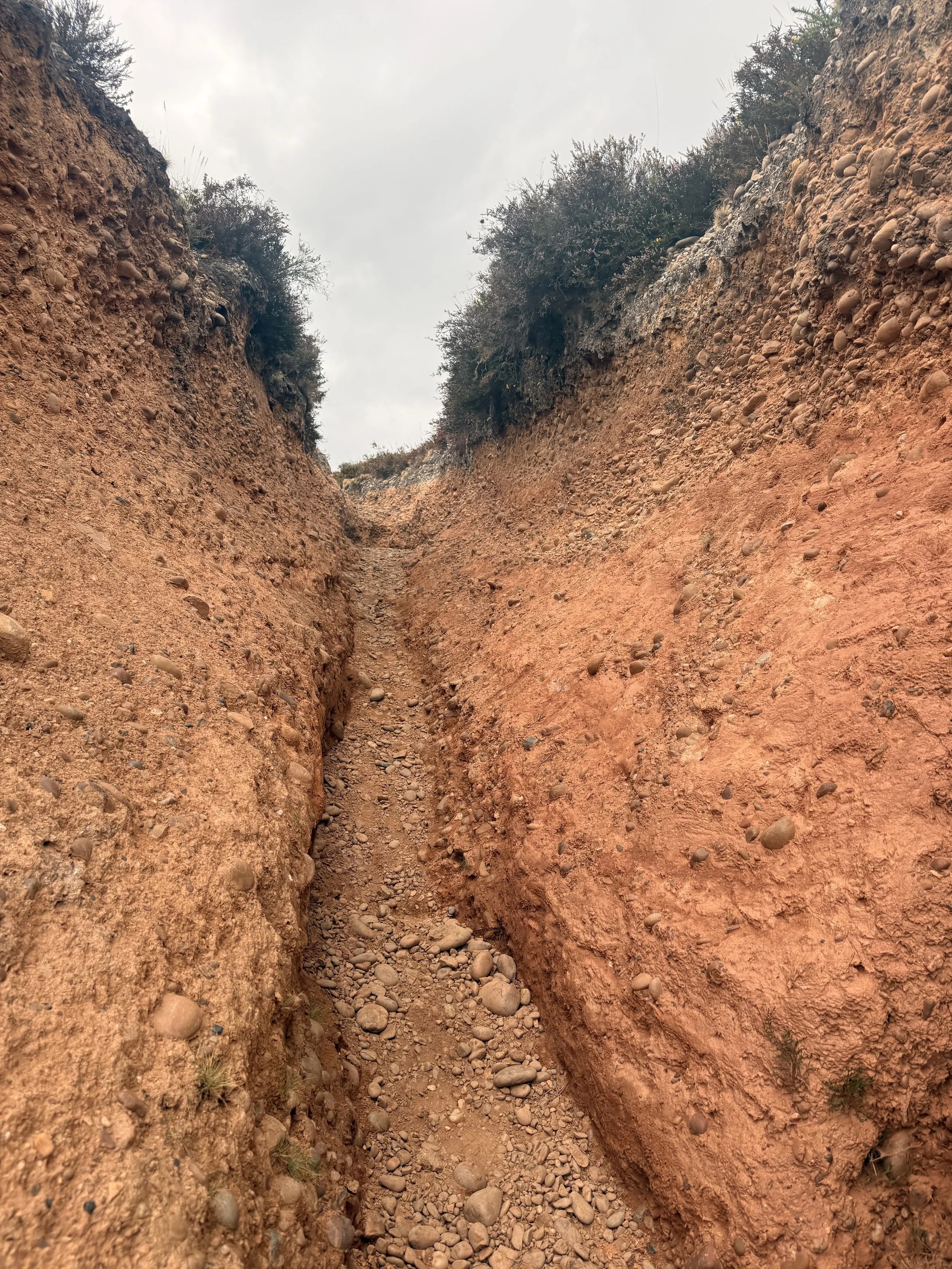
A steep sided gully
I then walked down the hill to the left of the Gibraltar Stone to pass one of the Royal Marines’ training routes. Feel free to take a look at this steep sided gully at the bottom of the hill, to the left, then turn right and continue along the track until you get to a bend, from here, take the trodden path to the right which will join up to the bottom of the Gibraltar Stone track. (Alternatively, you can just walk down the track on the right of the Gibraltar Stone if you don't want the detour to see the high sided gully). Turn left and walk the track towards trees in the distance. At the top you’ll come to a clearing with a beautiful pine tree standing alone, look back and enjoy the views before turning left down another hill. You’ll get a good view of Peak Hill in the distance as you walk down the slope, meeting a stream, used as a watering hole by the cattle and ponies that graze here. Carefully pass over the water via the stones and walk up the hill, keeping left as you then pass an area of trees where cattle are normally resting.
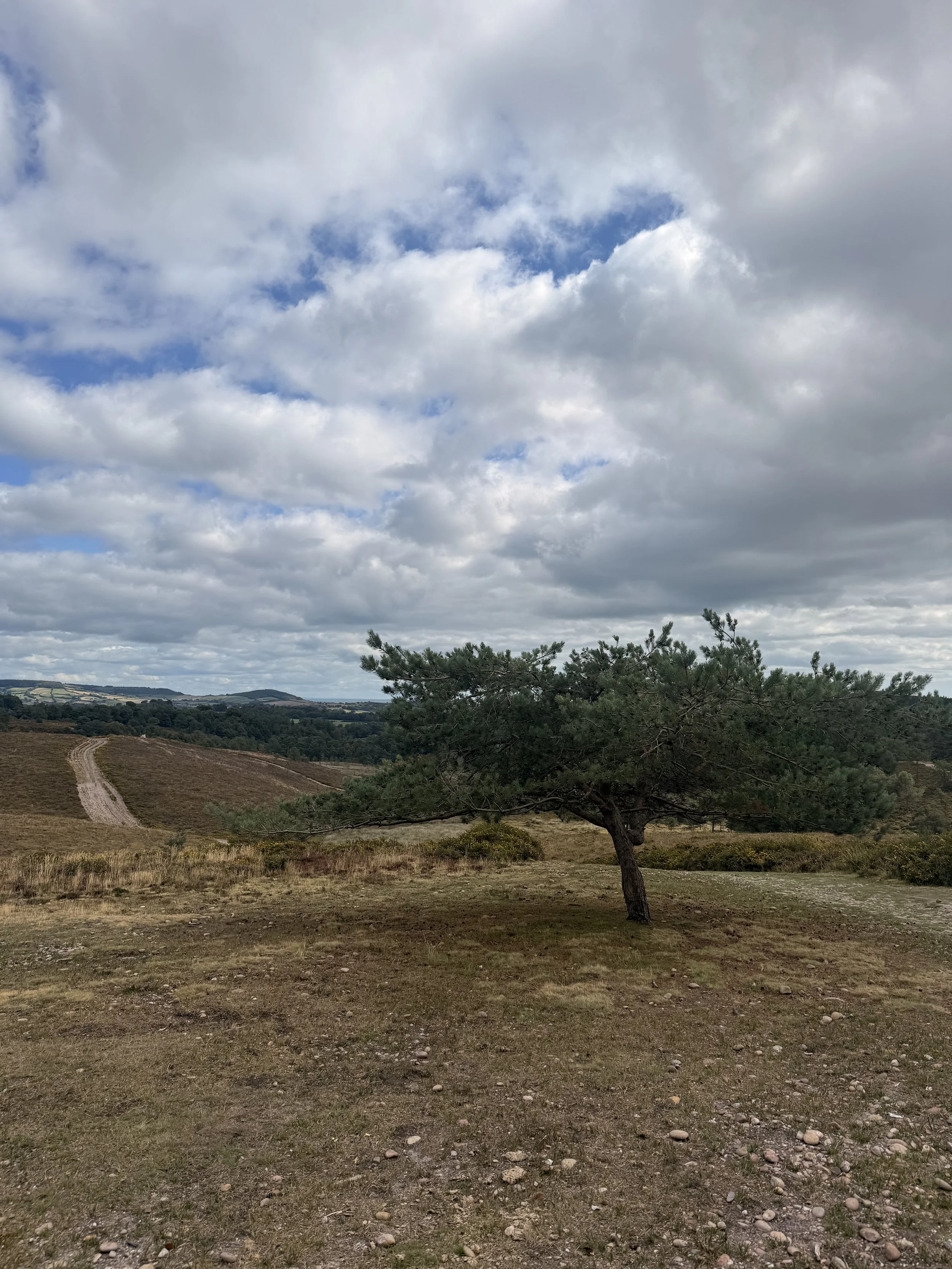
The lonesome pine
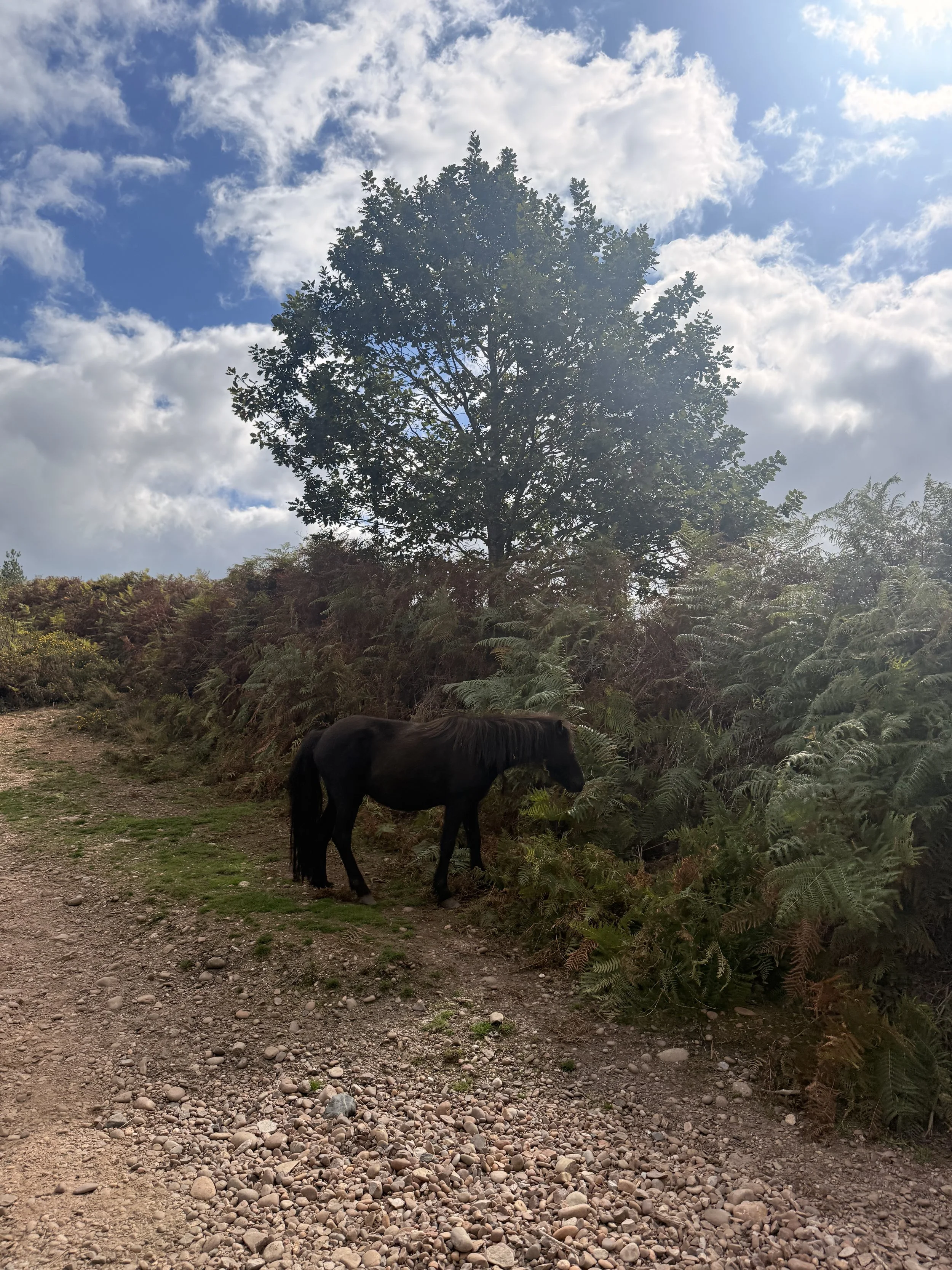
Ponies graze in this area at certain times of the year
Continue on straight ahead, ignoring any paths that come away from the main track. Eventually you’ll walk down a hill, then up a slope with a path to your right. Ignore this path (though it is a great place for den building), and carry on along the main path until it takes you into the woods. Here I heard so many birds calling and singing; great spotted woodpecker, long tailed tits, coal tits, blackbirds and goldcrests. This path will soon arrive at a stream, carefully cross over it (there is a little bridge made out of logs), then take the main track with the wire fence on your left. Turn right along this route, ignoring a gate on your left, then turning left at a bend to walk up a hill. Here it can get quite muddy from the trickling stream that runs down the hill. Take a track between two trees and turn left to join a grass path that opens up onto the heaths. Keep to this main path which will soon take you under tree coverage as you go down a hill, passing a beautiful tree with large moss covered roots on your left.
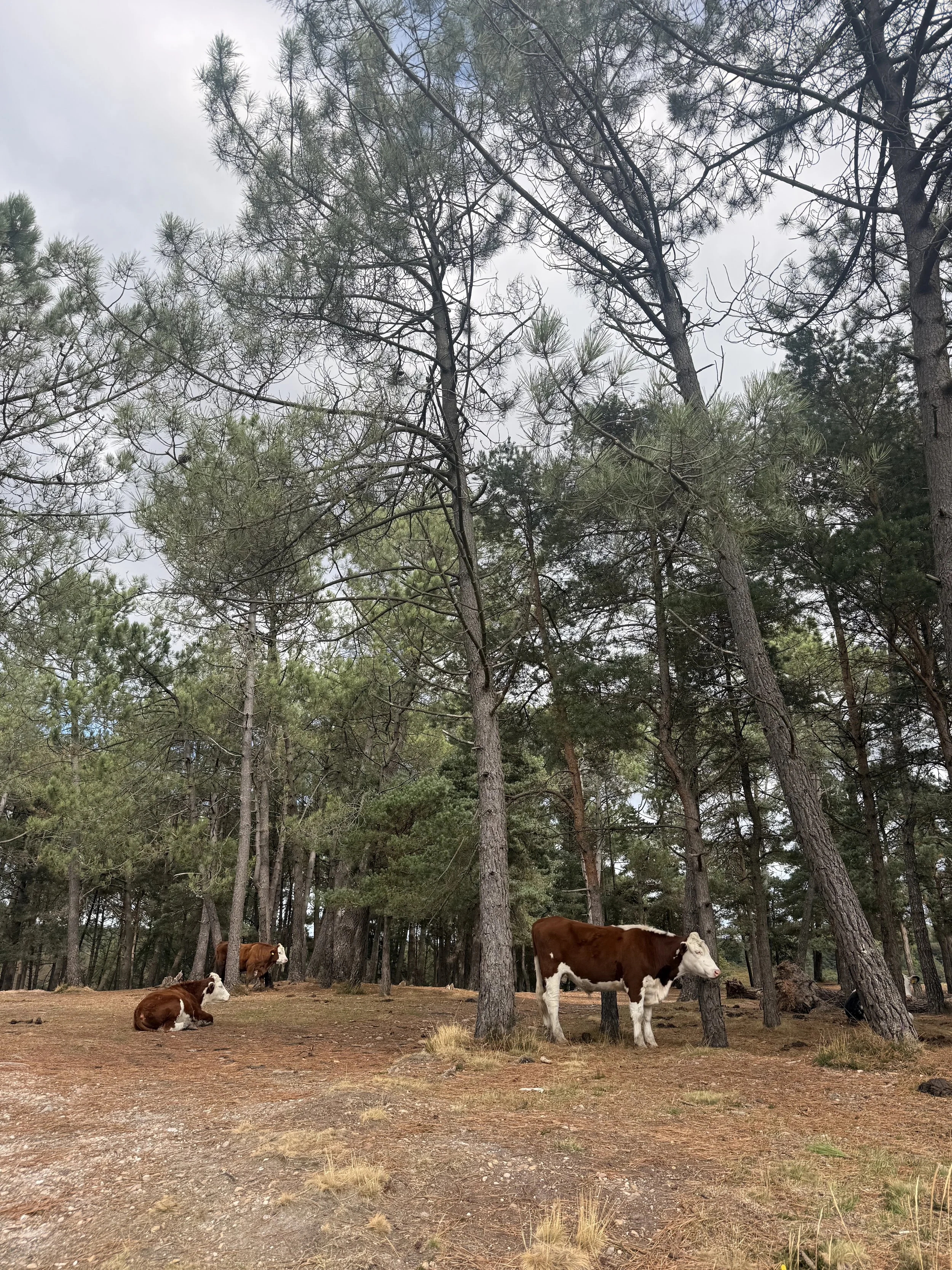
Cattle resting on the heaths
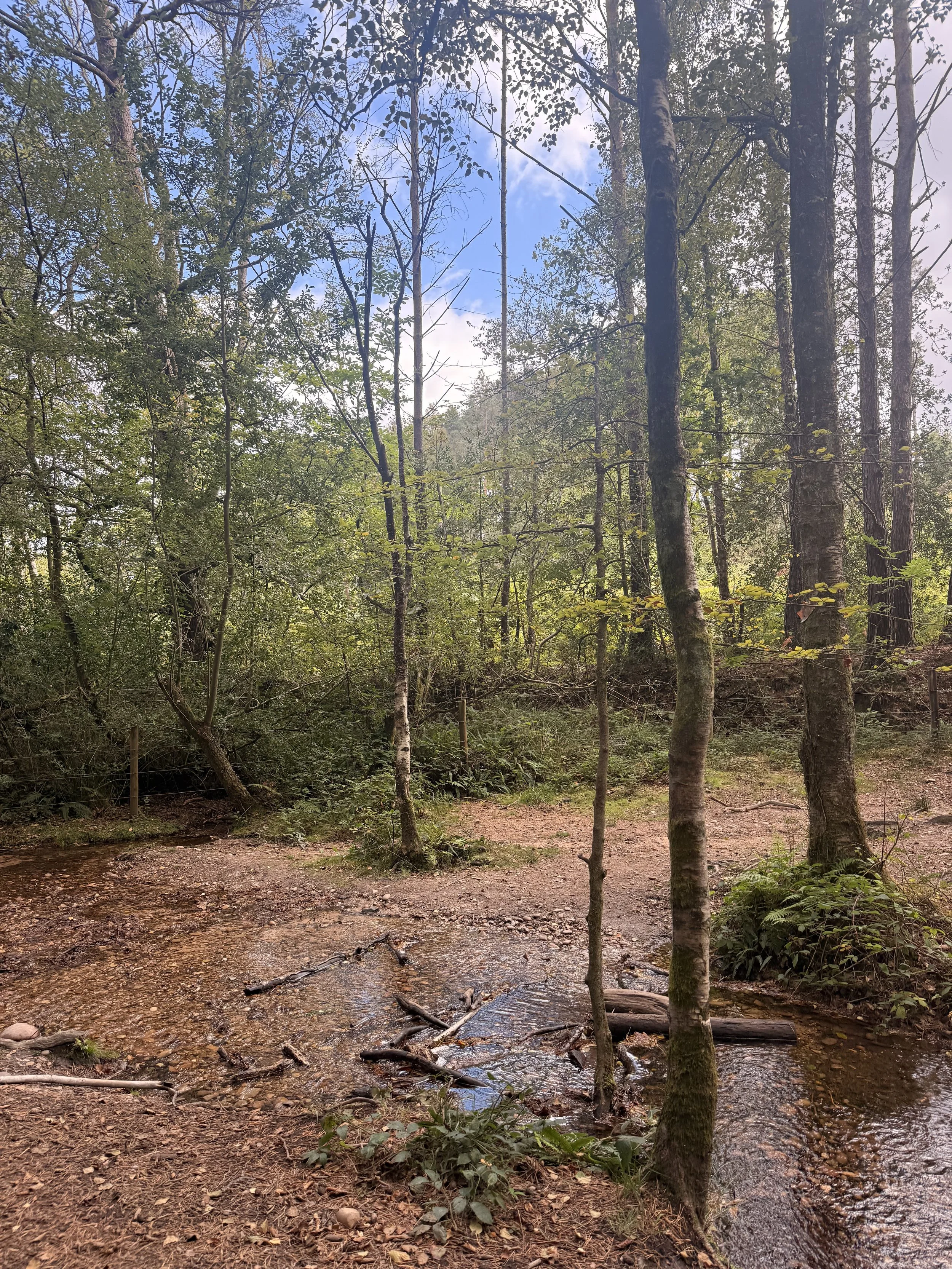
The stream to cross over
This path will then open up again onto the heaths, I heard goldcrests to the right of this track, flitting about in the pine trees. When you reach a gate, pass through it where you’ll get a glimpse of Blackhill Quarry through the trees on your right. It’s no longer a working quarry and is currently under restoration to encourage wildlife and nature back to it. Once at a crossroads (with a road on your left behind a metal barrier) turn right down the hill with the quarry now on your left. In the distance see if you can spot the Gibraltar Stone on your right. You’ll soon pass a board on your left, with more information about the work being undertaken to rewild the quarry site, as well as how successful it’s already been for wildlife. On the September day that I walked this route, I saw coots and tufted ducks on the water, as well as a cormorant perched on the old tree branches on an island on the water.
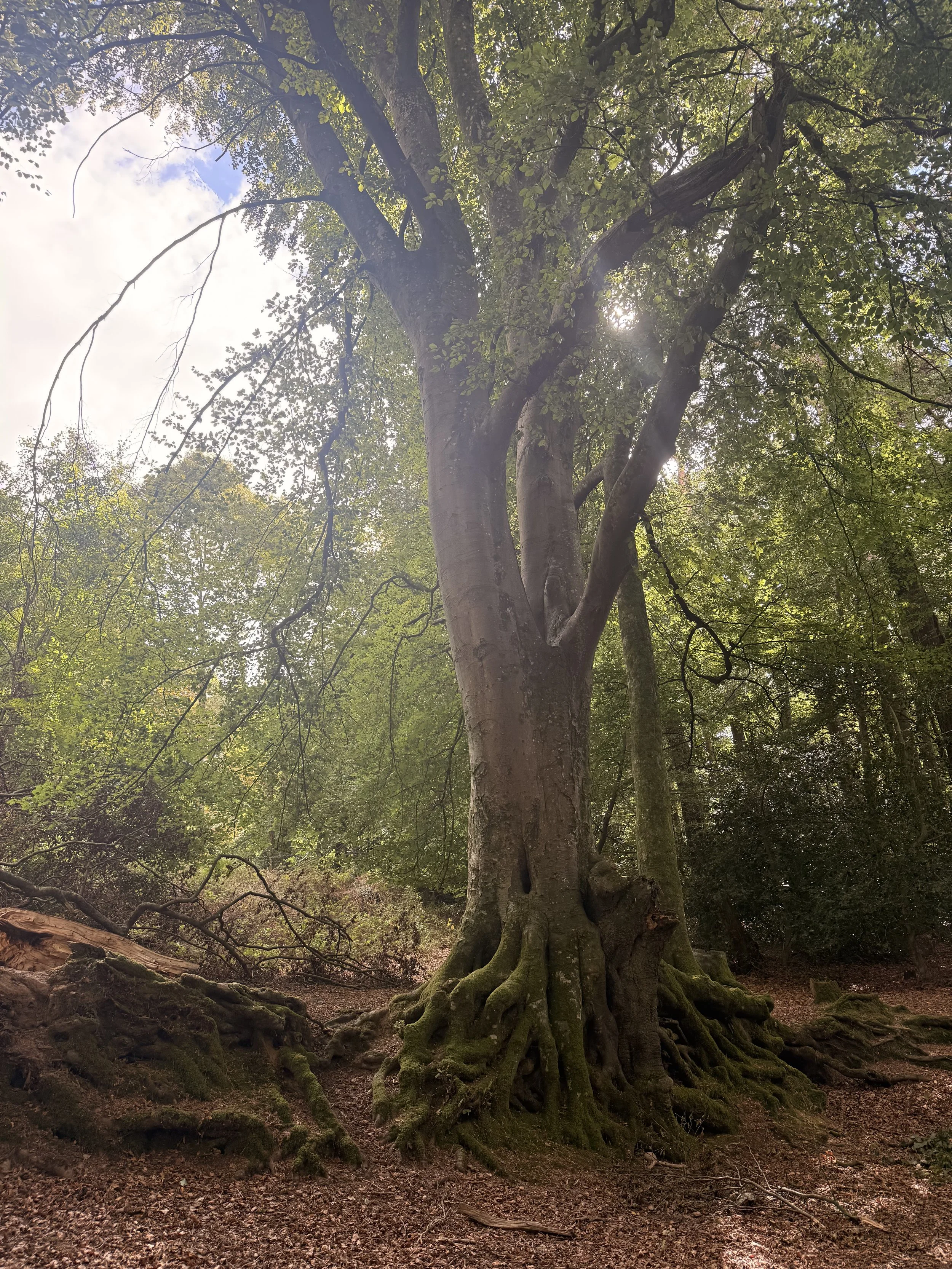
A beautiful moss covered tree
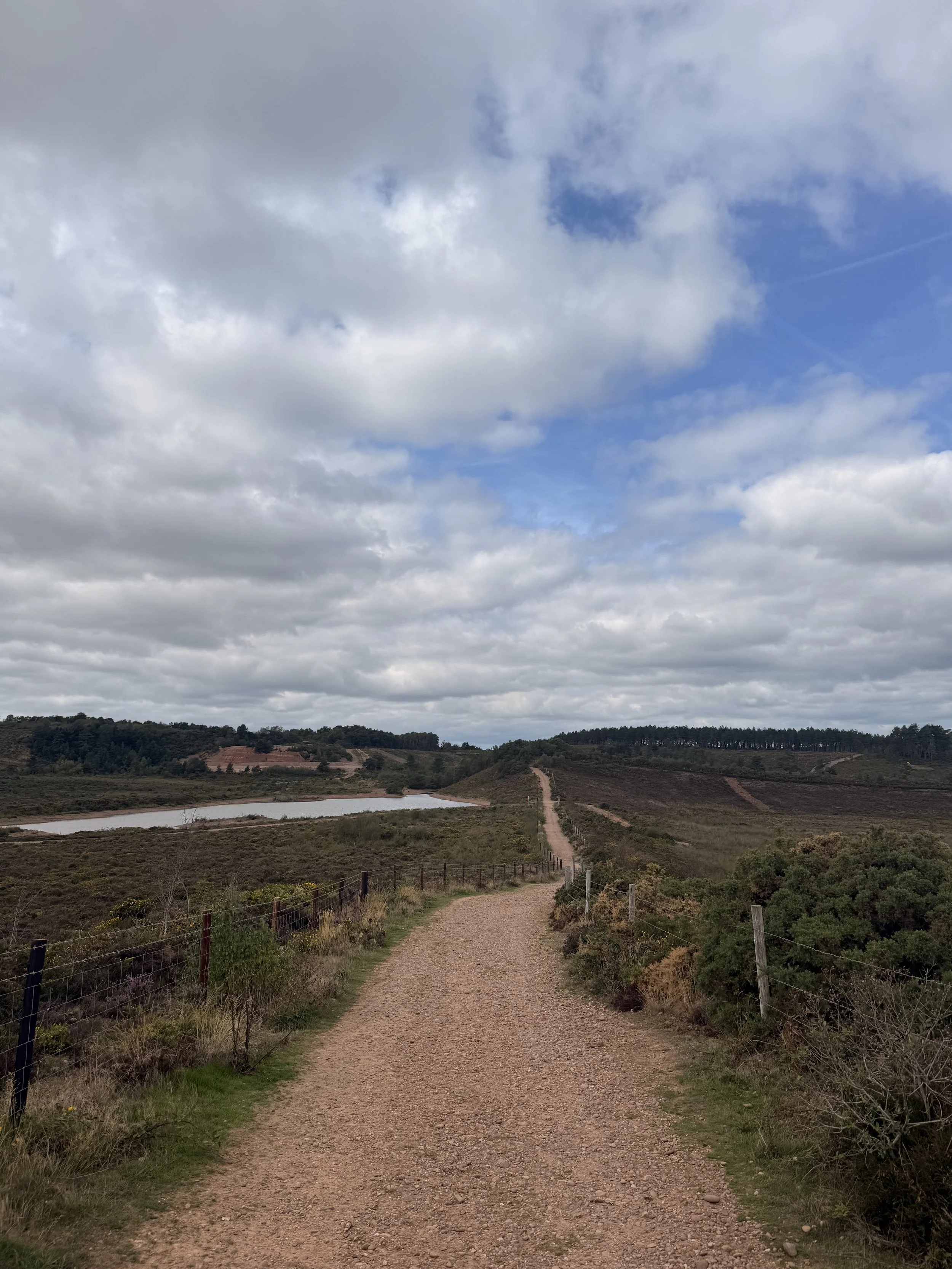
The walk alongside Blackhill Quarry
Once passed through the gate, continue on the track straight ahead of you, with the quarry still on you left, now behind some trees. This track will soon lead you up the last steep hill of the walk where you’ll see a bench at the top. Turn left before the bench walking with the trees on your right. When you spot a public bridleway sign through a track between the trees, turn right and walk down this route. You’ll get a good view of the sea and Otterton village on your right, as you follow this wide path back down towards the car park. I heard dartford warblers again in this area, as well as goldfinches flying over as I passed through a gate, arriving back at Four Firs Car Park. If you enjoyed this walk, I have.a few other walks on here that cover walks in this area of the Pebblebed Heaths, great for families, dog walkers and nature lovers.

Beer to Branscombe Coast Path Loop
I first published this walk 6 years ago, but have recently enjoyed walking it again. This is an updated version of the original walk, with changes put in place where necessary, as the under cliffs are currently closed off due to a landslip.
This walk along the East Devon stretch of the South West Coast Path from Beer to Branscombe is quite easy to follow as there are very clear signposts and paths leading you in the right direction. We love this stretch of the South West Coast Path, Beer and Branscombe are both beautiful, small villages, with fishing boats moored on the pebble beaches. I’ve written a post before about Branscombe (here) and I’ll do another post in the near future about Beer as it deserves its own post. It’s such a lovely little village to stroll round, visiting the independent shops and sitting in one of the deck chairs having an ice cream or chips on the beach, watching the fishing boats go out to sea.

Views of Beer’s white cliffs.
We started this walk by parking in the main car park (Clapp’s Lane) in Beer as we first went down to the beach to have some lunch, but we resisted the urge to get an ice cream, instead promising ourselves we would have one once we reached Branscombe. If you aren’t planning on visiting the village or if there’s no space in the main car park, then there’s a larger one right by the start of the coast path called Cliff Top car park. To reach the coast path from Beer Beach, we walked past our favourite pub in the village, ‘The Anchor Inn’ and walked up Common Lane. From here we had beautiful views of Beer Beach, its white cliffs and the coastline over the well kept gardens, belonging to the beautiful terraced houses on the other side of this road. Once half way up this hill we then turned down a lane on our left called Little Lane. From here it leads us past the bigger car park I mentioned earlier, and a caravan park on our right. Going through a gate, and into a field, this lane joins onto the coast path.
For those of you who enjoy geocaching, there are some great ones along this route all the way to Branscombe. We actually ended up finding some of the ones we couldn’t find last time we walked this route, though it can be hard sometimes as this path can get fairly popular, so you need to have a lot of stealth!

Views of Beer and Seaton from the coast path.
As we carried on along the coast path the views just kept getting better, we did this walk on a hot, sunny day, but a word of warning, be prepared that there’s a steep hill on the way back from Branscombe, which can be made a lot more strenuous in the heat. There’s also a section of rather steep steps if you descend the cliff path, but the rest of the walk is rather easy going and the views make it even more enjoyable.

A lovely spot to sit and take in the views.

Views of Branscombe beach from the coast path.
The lower path takes you through twists and turns with the white cliffs on your right, and there’s a short cut to the Eastern side of the beach when you reach the end of this path. However, there are quite a few steps on this path, whereas if you choose the high path it’s just through several fields then down one set of steps and then down East Cliff hill.

Some of the steps you’ll encounter along the lower path.
Both paths offer the beautiful views of the coastline and are clearly marked on how to get to the beach. Once we reached the end of the lower path, we could have walked further which would take us out to the bottom of the hill before the car park at Branscombe, instead we chose to enter the beach by a path on our left. This took us to the Eastern end of the beach. Note: The under cliffs section is currently closed due to a landslip, there is a sign on the kissing gate stating a closure until October 2026. The section that is closed is Hooken Undercliff, through the holiday park that arrives at the car park. There is a clear sign and barrier at the point where you cannot currently access. Taking the lower path to exit at Branscombe beach is possible but be aware you cannot access the beach at high tide.

The Eastern end of Branscombe beach.
This part of the pebble beach is a lot quieter than the main stretch close to the car park. We decided to sit here for a bit and watch a few dogs enjoying the water as the waves crashed against the pebbles. After a while, we carried on our walk towards ‘The Sea Shanty beach cafe’ by the car park and the entrance to the beach, it’s a short walk along the beach to get here. This is the only cafe by the beach, but it has a good variety of food and drink options, including a good choice of ice creams which is what we came for!

The Eastern end of Branscombe beach is always a lot quieter.

We sat and watched the waves crashing against the pebbles.

The busier part of the beach, with The Sea Shanty Beach cafe to the right.
After having an ice cream and relaxing in the sun, we decided we had better start climbing the hill back onto the coast path, to return to Beer. From the Sea Shanty cafe, there’s an entrance to the hill ahead through a gate by the mouth of the river that’s just to the side of the car park. Look for the massive hill, it is hard to miss!

We sat and had an ice cream, while looking at the hill we were about to climb.
The hill does have some benches you can rest on if need be, we sat and looked at the views of the beach below before continuing on our walk, up some steps then through more fields which eventually took us back to Beer. Along the way we spotted what used to be Beer’s old historic lookout building, which has since been updated and turned into a rather impressive three-storey holiday let. From here, we ignored the gate and cattle grid ahead, and instead turned right and walked down towards some hedges, (full of blackberries!) and through a gate to continue along the coast path.

The views of Branscombe village, beach and coastline from the top of the hill.
This walk took us about 3 hours to do, but we did it at a leisurely pace. It’s best to give yourself plenty of time, as I’ve said before the hill and steps can be quite strenuous! The stunning coastal views really do make up for the hard work involved on some parts of the coast path though. Both beaches are dog friendly, Beer does have restrictions in place for certain areas (clearly marked) during peak season, but the whole of Branscombe beach is dog friendly all year round. If you are taking a dog on this walk, please bear in mind that there are steep drops from the cliff side so be very careful dogs don’t run off the edge, and as always, keep dogs under strict control around any livestock you may encounter (we walked through fields with sheep and cattle in them).
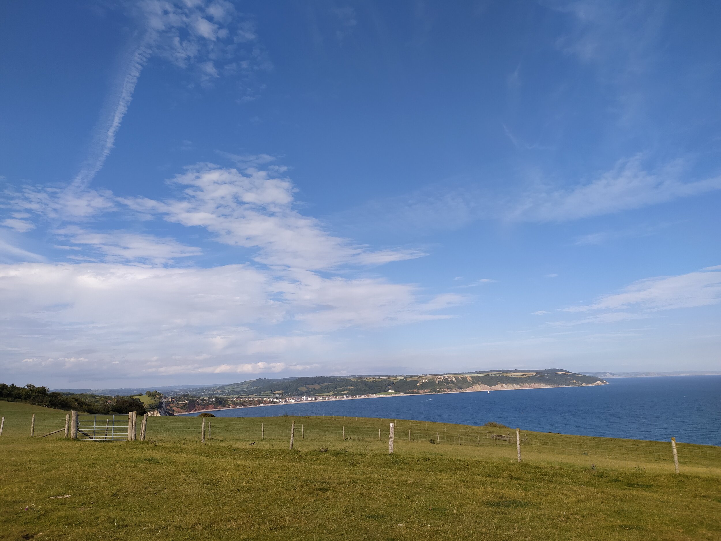
Views of Seaton from the coast path on the way back to Beer.