A selection of a few adventures and days out around Devon and beyond.
Exmouth Coast Path Loop, via West Down Beacon
This is a 4.5mi/7.2km circular walk starts at Castle Lane near Budleigh Salterton (What3Words: ///lifelong.beauty.flop) There is free roadside parking as well as a bus that stops at the end of the road. This route passes through a golf course, along the South West Coast Path with beautiful views of the Jurassic Coast as you descend into a holiday park. You’ll then pass through Littleham village and pick up a disused railway line to complete this circular walk. In the drier months, this walk is doable in trainers or walking sandals, although I would advise sturdy shoes/boots due to the rugged coast path. Dogs are welcome on this walk, but be aware they will need to be under control/on lead for most of the walk due to passing through a golf course, walking near the cliff edge on the coast path and through a holiday park. They can go off lead on the old railway line, but it is a shared path with cyclists.

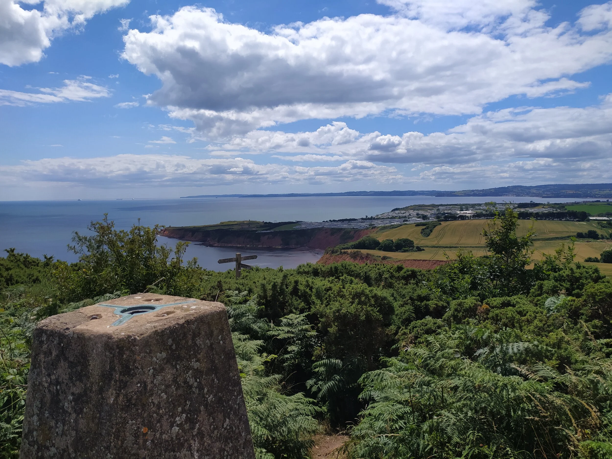
Coastal views from West Down Beacon.

The footpath leading through the golf course.
From Castle Lane, walk down the road, passing some houses on your left. Once you pass a house called ‘Oak Glade’ there is a path to the left going up to a gate. Take this turning, passing through a gate on the right next to a public footpath sign. This sheltered path leads through a golf course, so anyone doing this walk will need to keep dogs on leads and be aware of incoming golf balls! As you walk along this sheltered path, there’s a footpath going off to the left, ignore this path but do turn back and look at the views of the East Devon coastline beyond the golf course. Here I heard goldcrests calling out in the pine trees, while squirrels were busy foraging for nuts in the fallen leaves to the right. This sheltered path soon opens out onto the golf course. Here you need to follow the path ahead, walking straight ahead in the direction of the trees (in the photo below). There are yellow footpath arrows on posts pointing in the right direction, with the golf bunker (the area with some sand in the photo below) to my right. Already there are beautiful sea views to the right, with a buzzard circling ahead in the sky.

Beautiful views from the golf course.

The path opens out onto the golf course, sea views to the right.
A sign by these trees informs me that I’m joining the coast path. I follow this path with trees on either side of me, but I can still see the sea views peaking through gaps in the trees. Jays were loudly squawking to each other here, and I could hear a bullfinch calling out in the distance as I reached the end of the path, with a bench on my left. For the best views of the coastline, there is a narrow path just to the right of the bench, between some gorse. Here is West Down Beacon, and with it are panoramic views of the East Devon countryside and coastline. On a clear day like today I could see Exmouth town, the holiday park and straight point cliff sticking out to my right, as well as Torbay and the countryside in the distance. On my left I could see rolling hills of the Sid Valley, as well as Budleigh beach and the coastline beyond that. Even the white cliffs of Branscombe and Beer were visible today. I was once lucky enough to spot a dormouse on the coast path here, crossing over into the gorse, so be sure to keep an eye out, knowing these rare mammals live in this area.

Countryside and coastline from the beacon.

Views of the sea and Exmouth town from the coast path.
After taking in the views, rejoin the coast path, where in front of you is a sign stating Budleigh Salterton is left and Exmouth is to the right. We’re heading back towards Exmouth so take the path to the right. This path becomes fairly narrow and has lots of stones underfoot for a short while so take extra care here, especially when walking down the hill. The path soon passes through a kissing gate and opens up into a field where I continue to follow the clear path ahead along the coastline, ravens were calling out their distinctive ‘cronking’ sounds across the fields here, as well as goldfinches chattering to each other as they flew overhead. I usually see rabbits in this field, hopping in and out of the hedges, especially at dawn and dusk. From this path Straight Point is visible and Devon Cliffs holiday park is a lot clearer now. Straight point is the red jagged cliff sticking out to sea. The top of this headland is a firing range used by the Royal Marines, as well as there being red warning flags up, you can always tell when they’re training here, as you’ll hear the guns firing. If you do hear them, look out for the Range Safety Boat that will stay close to Straight Point, (I normally see it close to Sandy Bay beach) to warn boats/vessels to stay clear of the area whilst they’re firing.

Views of the coast path I just walked, and beyond.

Views of the jurassic coastline with Budleigh beach in the distance.
You’ll soon arrive at some steps that lead down to a footbridge then up some more steps before leading into another field. This area is well known for land slides and sheer drops, so anyone with dogs and young children must be careful to not walk too close to the edge. This field soon arrives at another kissing gate where it leads into Devon Cliffs Holiday Park. From here, keep to the coast path on the left as you walk down the hill with clearer views of Budleigh just behind you to your left. Soon the hill you walk down turns into a road and car park. From here, walk straight ahead and up the grass bank, keeping to the edge by the hedges. Turn right and keep the hedge to your left as you walk round and see a wooden coast path sign pointing towards the beach. Follow a path behind some static caravans where the firing range is now on your left, then walk down a slope where you’ll have clear views of the sea ahead, as well as Brixham, Torquay and Dawlish across the water. Soon you’re met with the entrance to Sandy Bay Beach on the left and the South Beach Cafe and Shop ahead. For anyone who hasn’t been before, the South Beach Cafe is a lovely place to grab something to eat or drink and sit outside overlooking the sea on a summer’s day.

Low tide at Sandy Bay beach.
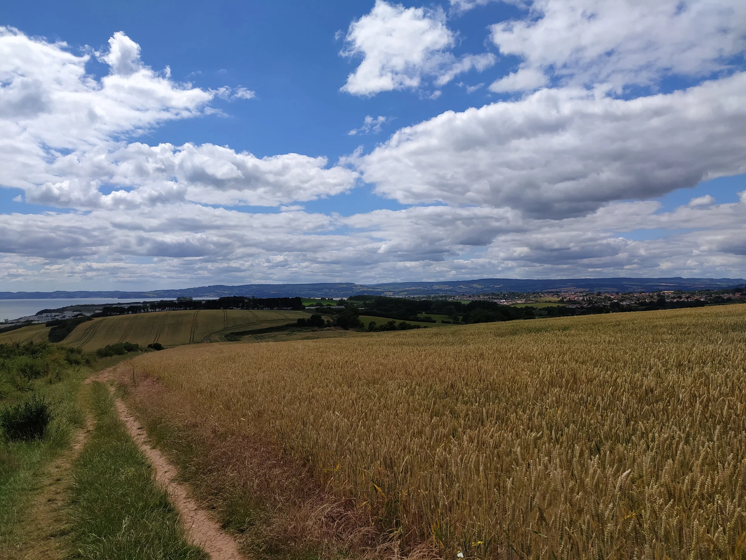
South West Coast Path towards Sandy Bay.
After a quick stop to take in the views of the beach below, head up towards the entrance of Sandy Bay. There are signs dotted around the holiday park telling you where this is, but for those needing to know how to do this I’ll explain the quickest route now…Keeping the South Beach Cafe on your left, walk up towards the road where you’ll see a zebra crossing. Cross here and walk up the road that has a sign saying ‘Apple Grove’. Keep to the pavement on the right where you’ll spot a zip wire aerial adventure zone on the right. At the next junction turn right and you’ll see a bus stop on the left and the car park for the entertainment centre. Walk through the car park and rejoin the pavement where you can cross the road and continue on the pavement on the right. From here you’ll see a sign telling you the way out is to your left. Soon you’ll see the welcome flags at the entrance to the holiday park. Cross the road here and continue along the pavement leaving the holiday park, now with World of Country life on your right and eventually you’ll see the Sandy Bay entrance Arch in front of you. Here I like to cross the road and walk on the raised footpath on the right as there’s sea views on your left just in the distance over the fields and houses. This route will lead you into Littleham village where there will soon be thatched cottages on the left and the local Pub, The Clinton Arms ahead.

Crossing the bridge over Littleham Brook with St Margaret’s Church ahead.

There are fields either side of this path.
Once you pass The Clinton Arms on your left, cross over the bridge with St Margaret’s church ahead of you. Keep left and walk up the road (keeping the church on your right), until you’ll eventually come to Capel Lane, turn right up this road and continue ahead until you reach an old railway bridge. Here you need to pick up the old railway line under the bridge, and turn right, walking the shared path where soon you’ll spot Littleham Church (St Margaret’s) to the right over the fields. This path is surrounded by fields, the one on the left often has cows with their calves in it. As you continue ahead, looking back to the right over more fields, you can just about see the sun glistening on the sea in the distance.

The path becomes more sheltered by trees.

Information on the old railway line.
Eventually you’ll cross a footbridge and shortly after, another one, where the path now becomes more sheltered by the trees overhead, with a picnic bench on the right. This stretch of the path is great to walk in autumn when the trees are turning colour, and the ground is hidden under a blanket of fallen leaves. I’ve seen deer and foxes in the fields to the left before, as well as blackbirds and robins that flitter about on the path ahead. Eventually you’ll meet a sign post just before an old railway bridge ahead, turn right up a path where the blue sign points to Castle Lane. From here you’ll soon join the road where we first began the walk, passing an information sign on your right about the history of the disused railway. I also have a circular coast path walk to Budleigh on here, (via West Down Beacon and the disused railway track) if you’ve enjoyed this walk.
Harpford Woods to Fire Beacon Hill Circular Walk
This 5mi/8km circular walk starts and ends in Newton Poppleford. There’s usually plenty of parking on Back Lane by the play park (what3words: ///bumping.shelf.unloaded) or alternatively, there is a free car park off the main road behind the church. This walk takes you alongside the River Otter, crossing a bridge into the village of Harpford where you’ll soon enter Harpford Woods. It then takes you uphill with beautiful panoramic views of the heaths, hills and coast at Fire Beacon Hill before taking another route down (past a pub) into Harpford Woods and Newton Poppleford. Walking boots are advised for this walk as the terrain is uneven in places and there are hills to walk up. The woodland can also get muddy after wet weather. The Bowd Inn is half way along this walk for refreshments, they do a good carvery and have a play park in the beer garden. There is also a bench perfectly placed at the top of Fire Beacon Hill for the best East Devon views whilst enjoying a picnic. This is a dog friendly walk, just be aware there is a busy road you will need to cross twice on this walk.
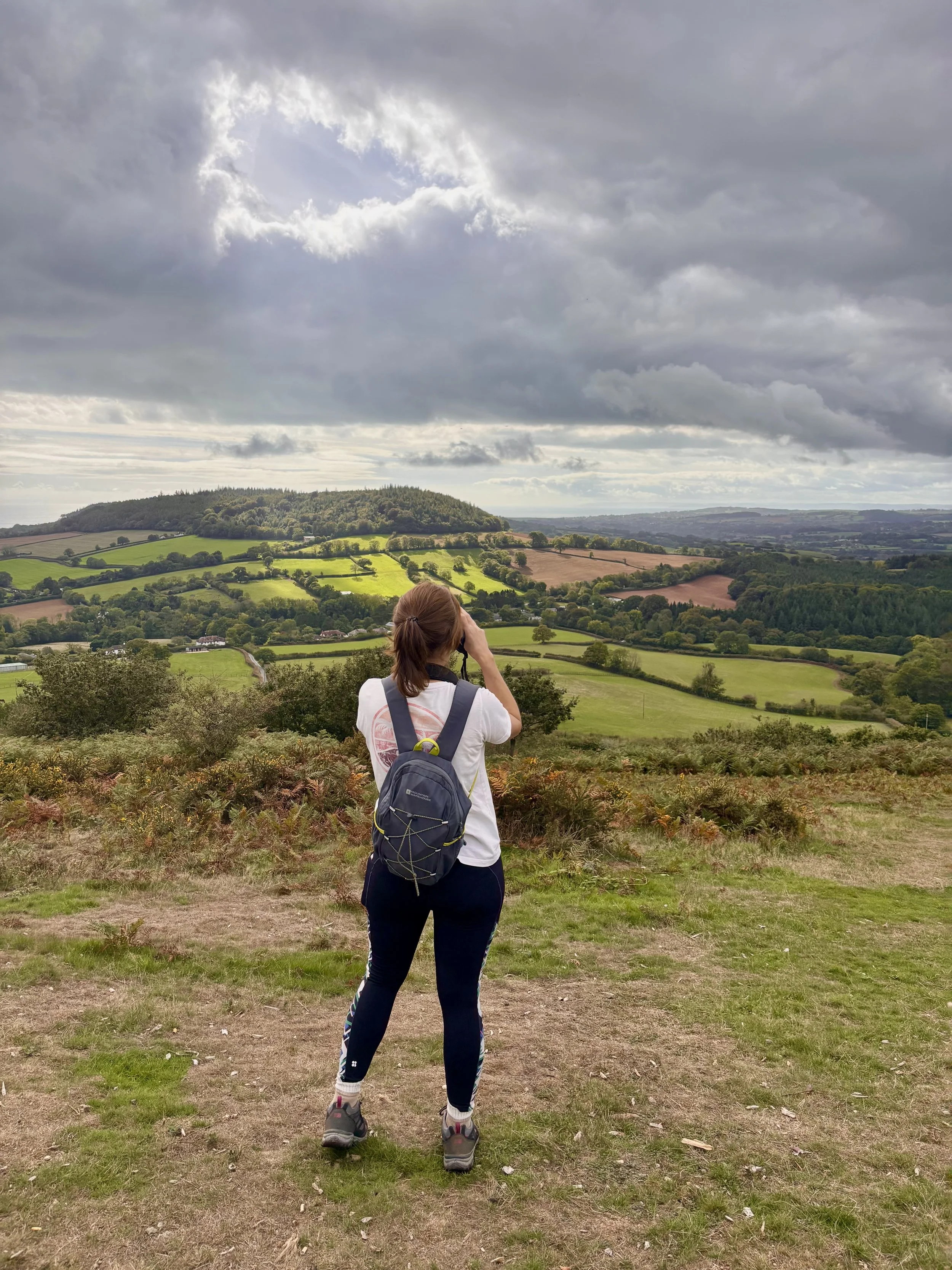
Enjoying the views and wildlife from Fire Beacon Hill
Harpford Woods
From Back Lane, continue along the road with the play park on your left, until you see a kissing gate wth a public footpath sign on your right. Pass through the gates and follow the footpath where you’ll soon pass through another kissing gate alongside the river. If you do this walk in the summer, there’s usually house martins and swallows skimming the water on this stretch of the river. Today we heard goldfinches and a mistle thrush singing in the trees as we crossed the red bridge over the river and into the village of Harpford. When you arrive at a road (Lower Way), turn left passing the village hall on your right. At the give way sign, turn left up the hill, passing the church on your left. Turn right onto Knapp Lane, passing a beautiful thatched cottage as you do so, then continue straight ahead, ignoring the public footpath sign on the left. This track will soon turn into a leafy lane decorated with ferns and nettles on either side. We heard a great spotted woodpecker calling out over all the other bird songs (nuthatch, long tailed tits, great tits) along this path, be sure to keep an eye out for mushrooms too, we saw the first few popping up along here in early October.
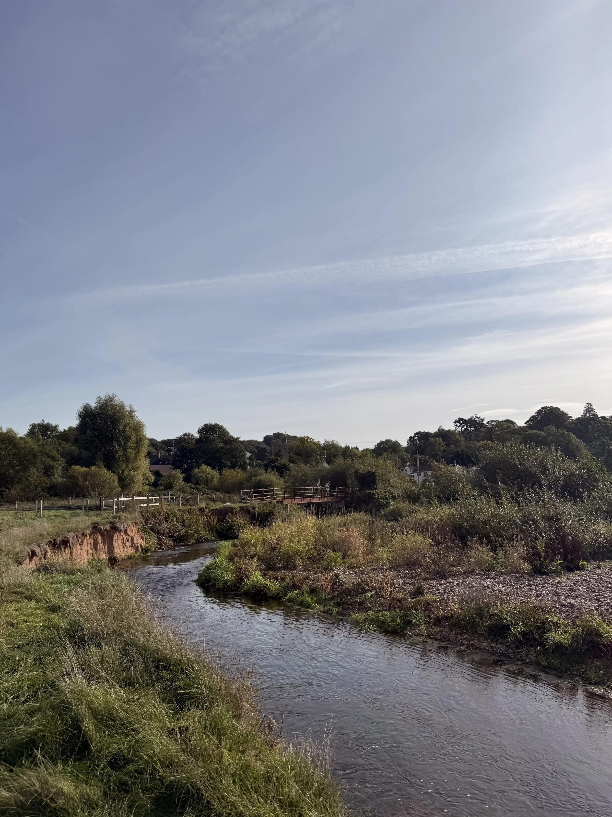
Walking alongside the River Otter
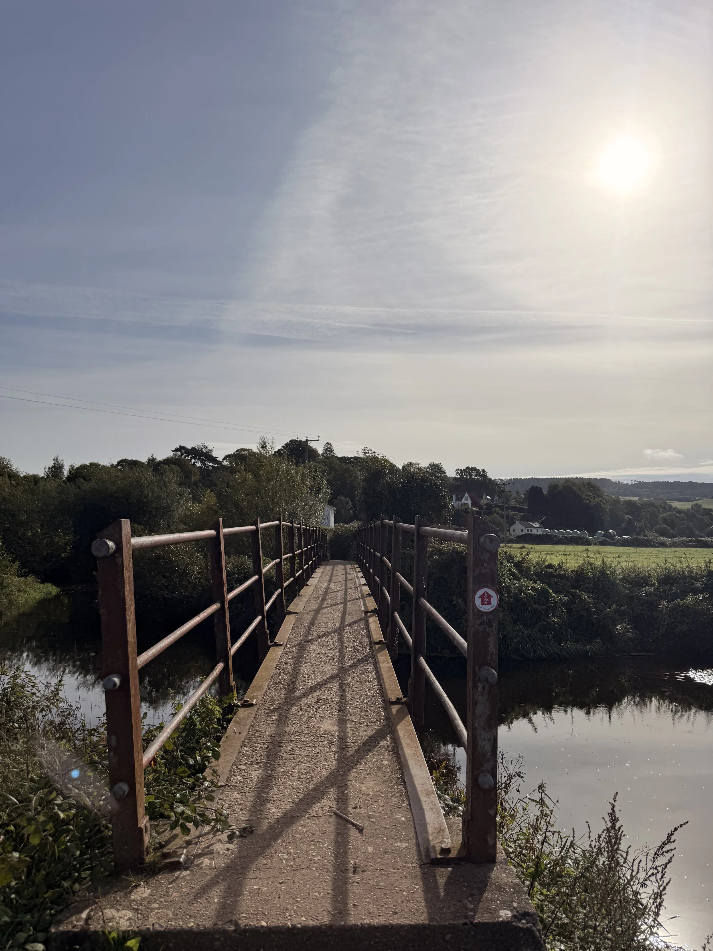
Crossing the bridge into Harpford
When you arrive at a choice of two gates, take the kissing gate on the left, and continue up a trodden path encroached by trees. We heard lots of jays calling out here, autumn is a busy time for them, and I find it’s an easier time to spot them too, as they’ll be flying around collecting acorns to save for winter. When you reach a gate on your left, pass through it and turn right, then take the more hidden path to the left of the main track, passing over a stile at the end of it and into the woods. (You can also avoid the stile by turning left a tiny bit further up the main track and up a slope). There were lots of squirrels along this stretch of woodland, most probably making the most of the fallen acorns we saw on the ground as we continued ahead through the woods. The moss covered trees looked beautiful here with the autumn sun shining low and glistening on the leaves. The path will soon become narrow again through a trodden grass track, continuing through the woods, listen out for all the different birds, especially the goldcrests usually found in the pine trees. Eventually the track will go down hill passing some steps and then a gate on your left, continue on in the woods until you arrive at a post for the East Devon Way, turn left, taking this route across a busy road, then picking up the footpath for Fire Beacon Hill directly ahead.
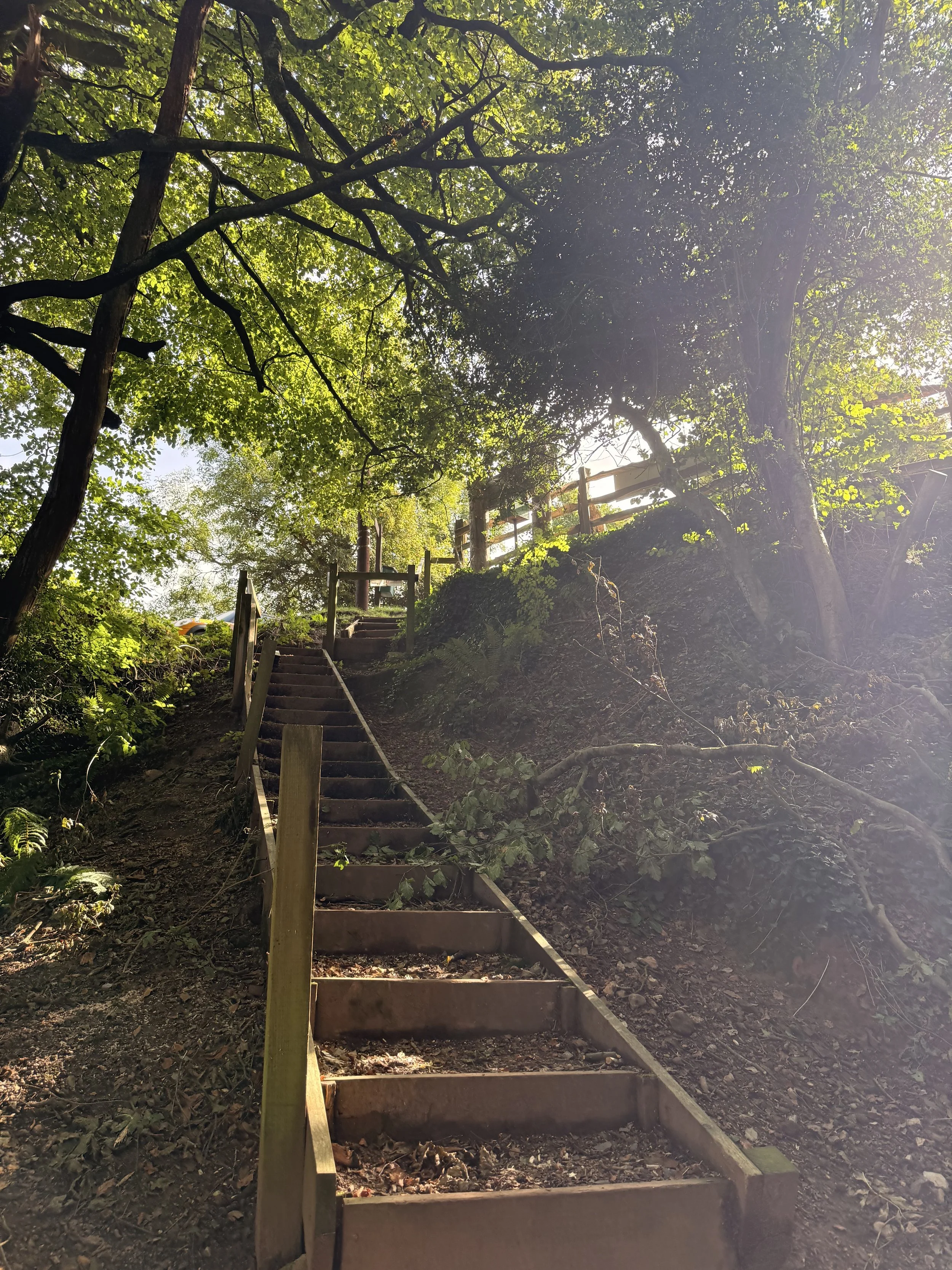
Don’t walk up these steps, that lead to a car park
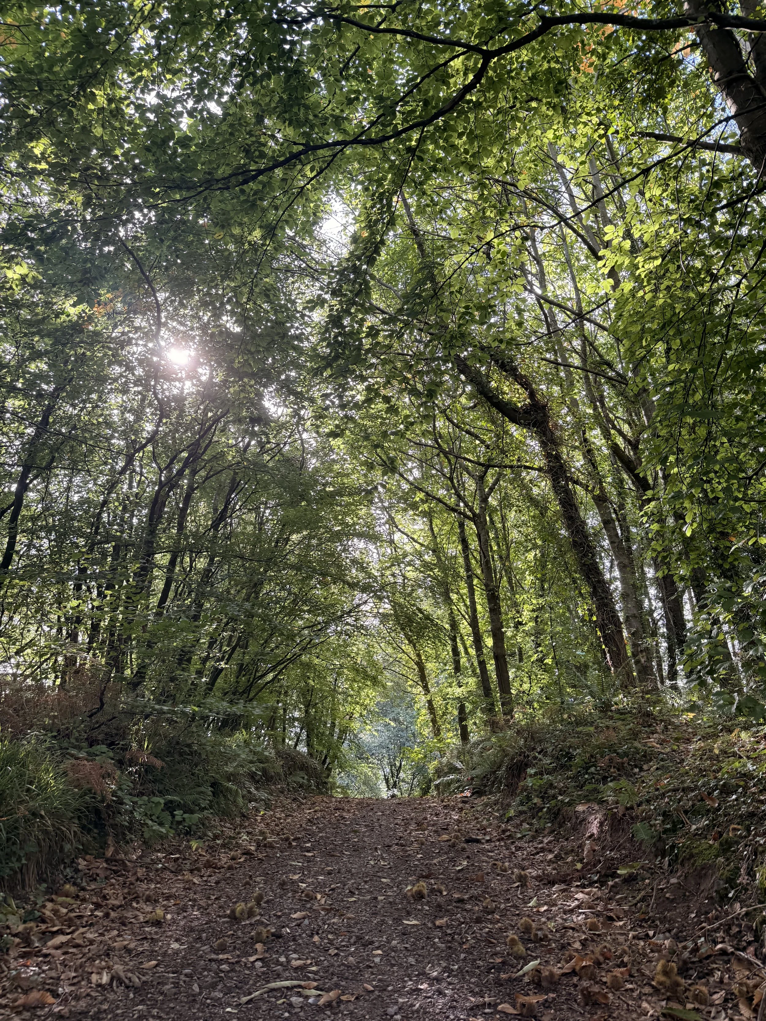
Walking a track in Harpford Woods
This footpath will take you through kissing gates, alongside the fields for Wood’s Farm, sometimes with donkeys in them (from Sidmouth’s Donkey Sanctuary). It’s not uncommon to see buzzards circling the sky in this area, we saw a couple here calling out as we continued up the hill. It’s a workout for the legs as you walk through the field but the views from the kissing gate at the top make it worthwhile. Pass through this kissing gate and up the steps, then turn left and walk up Fire Beacon Lane, passing a gate with more beautiful views of East Devon countryside behind it. Take the signposted footpath on the right, walking a sheltered path under the trees. We spotted more fungi along this stretch, some were hidden quite well under leaves or nestled into tree roots. We heard firecrests and chaffinches continuously calling out in the trees as we eventually passed a house on the left. Ignore the public footpath next to this house, instead walk up the hill, keeping right and ignoring the gate at the top on your left. When you arrive at a crossroads, turn right, then at a fork in the path take the track with the arrowed signs for the East Devon Way. This will take you along a footpath with lots of old moss-covered trees on either side, some with their roots stretching out across the banks. There was a lot of birds calling out along this path too, especially goldcrests and nuthatches as we passed through a gate and took the track to the left, past an information sign.
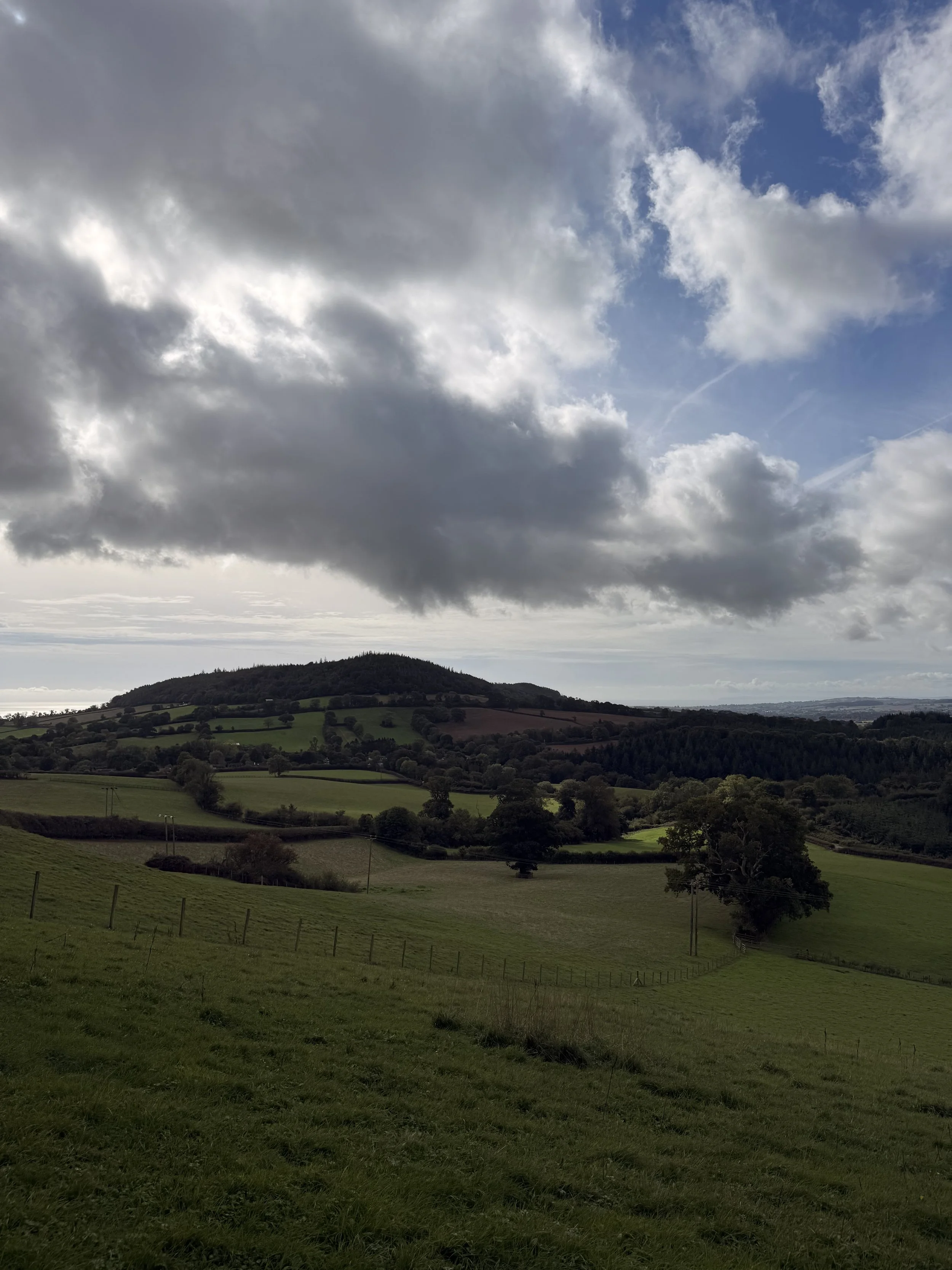
Countryside views from the top of the field
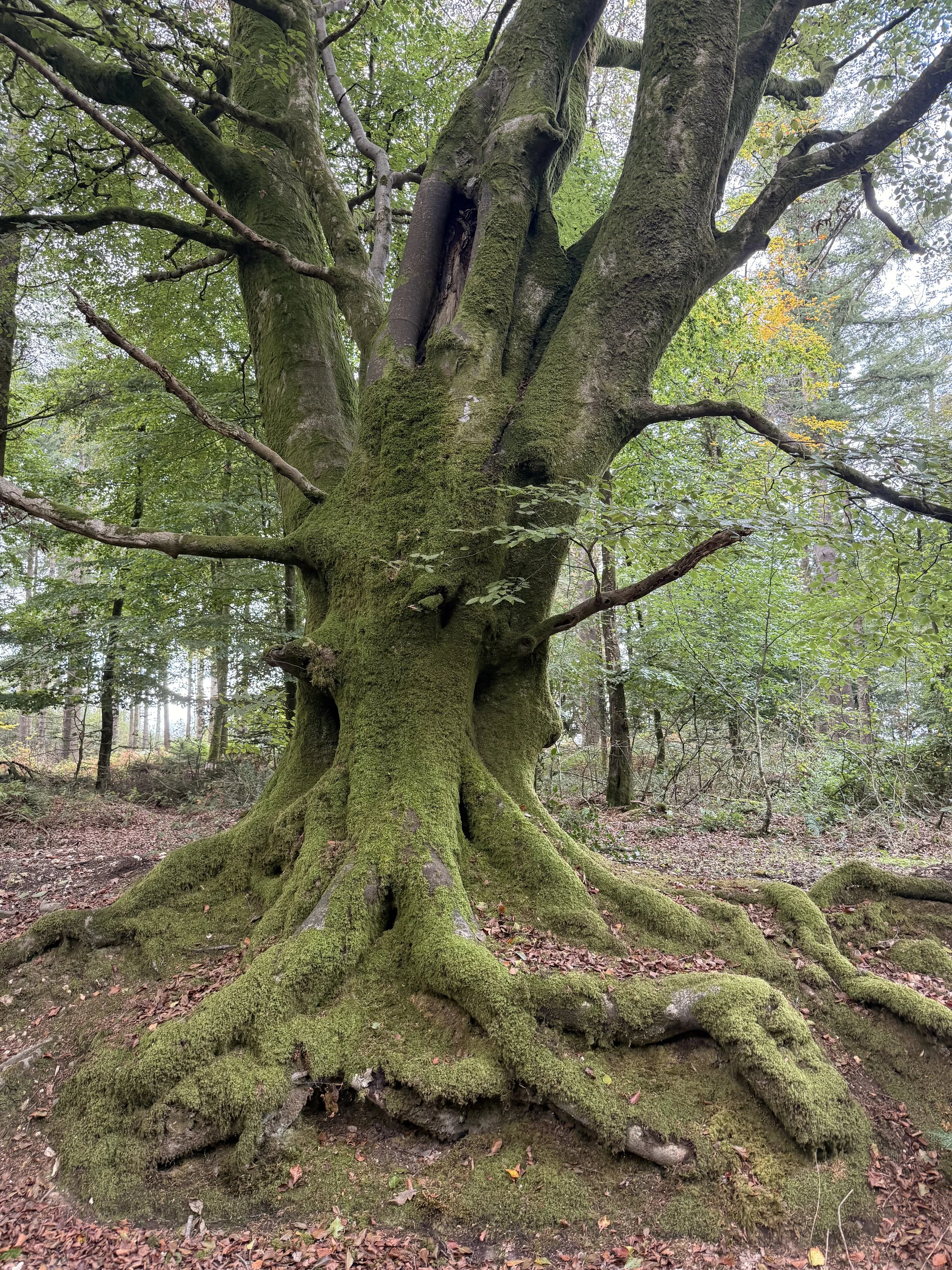
One of the moss covered trees on the way to Fire Beacon Hill
Continue ahead at the crossroads, listening out for dartford warblers in the gorse, then if you would like a detour for a picnic spot with a view, take the next left where you’ll soon spot a bench looking out at a panoramic view of the East Devon countryside. Here you can see Sidmouth and the sea to the left, Mutters Moor and Peak hill directly ahead, then Newton Poppleford to the right, nestled into the valley with the heaths behind it. We sat and had lunch here for a while, and heard and saw plenty of wildlife as we did so; a green woodpecker with its ‘laughing’ call, linnets flying over in a group, two ravens ‘cronking’ nearby and a buzzard flying over the landscape in front of us. We also spotted a couple of deer in the fields below. After our lunch break, we headed back to the main path on the right and headed down the hill which soon turns into a stony track. Turn left down this hill when you reach an arrowed post with a big beautiful beech tree ahead of you. When you arrive at an information sign about the reserve, continue on the gravelled track, down the hill and through a gate, where you’ll arrive at Fire Beacon Lane. Turn left and walk down this lane, then at the bottom turn right, passing houses along the way. At the stop sign, you have the choice to turn left and stop off for refreshments at The Bowd Inn, then pick up a footpath (signposted for Harpford Woods) on the other side of the road next to ‘Bowd Court’.
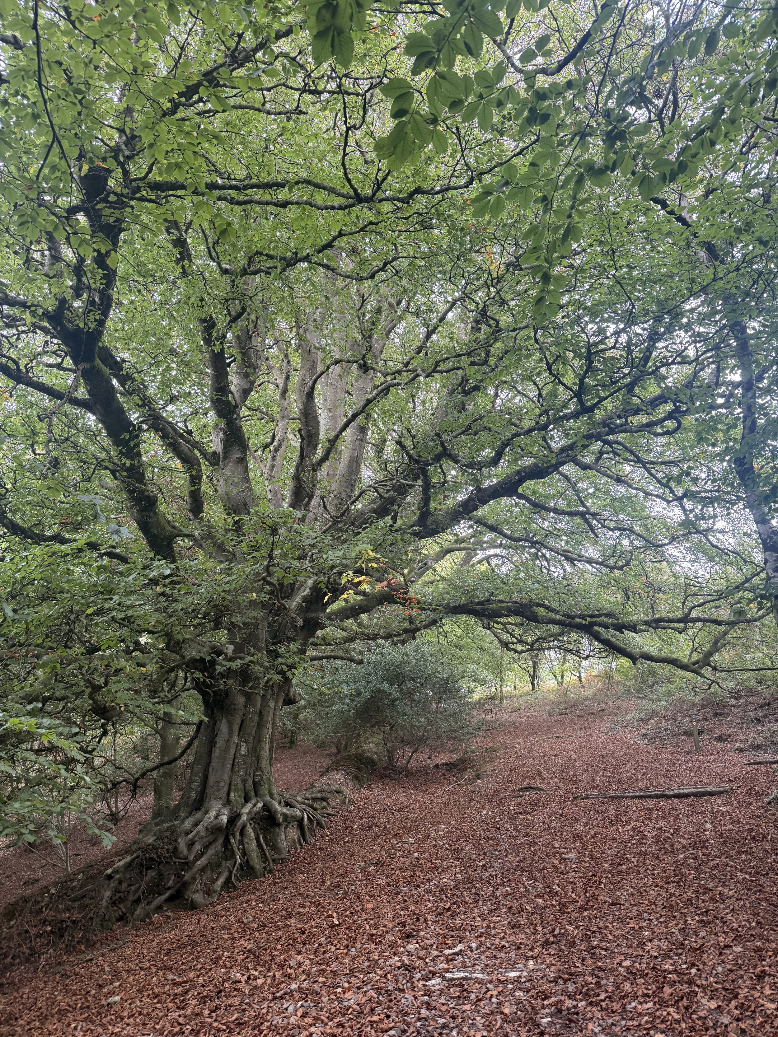
A large old beech tree
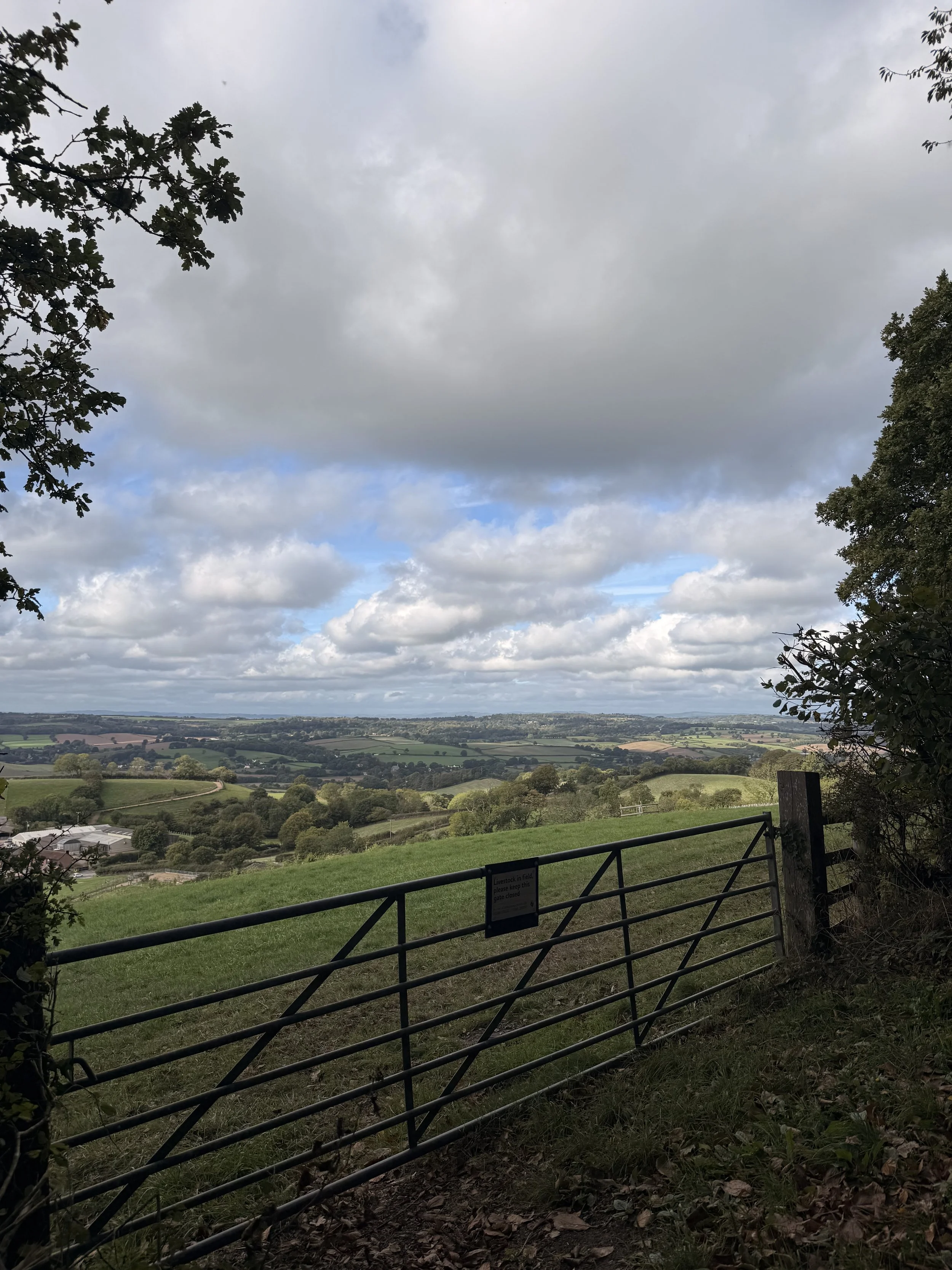
Views over a gate near Woods Farm
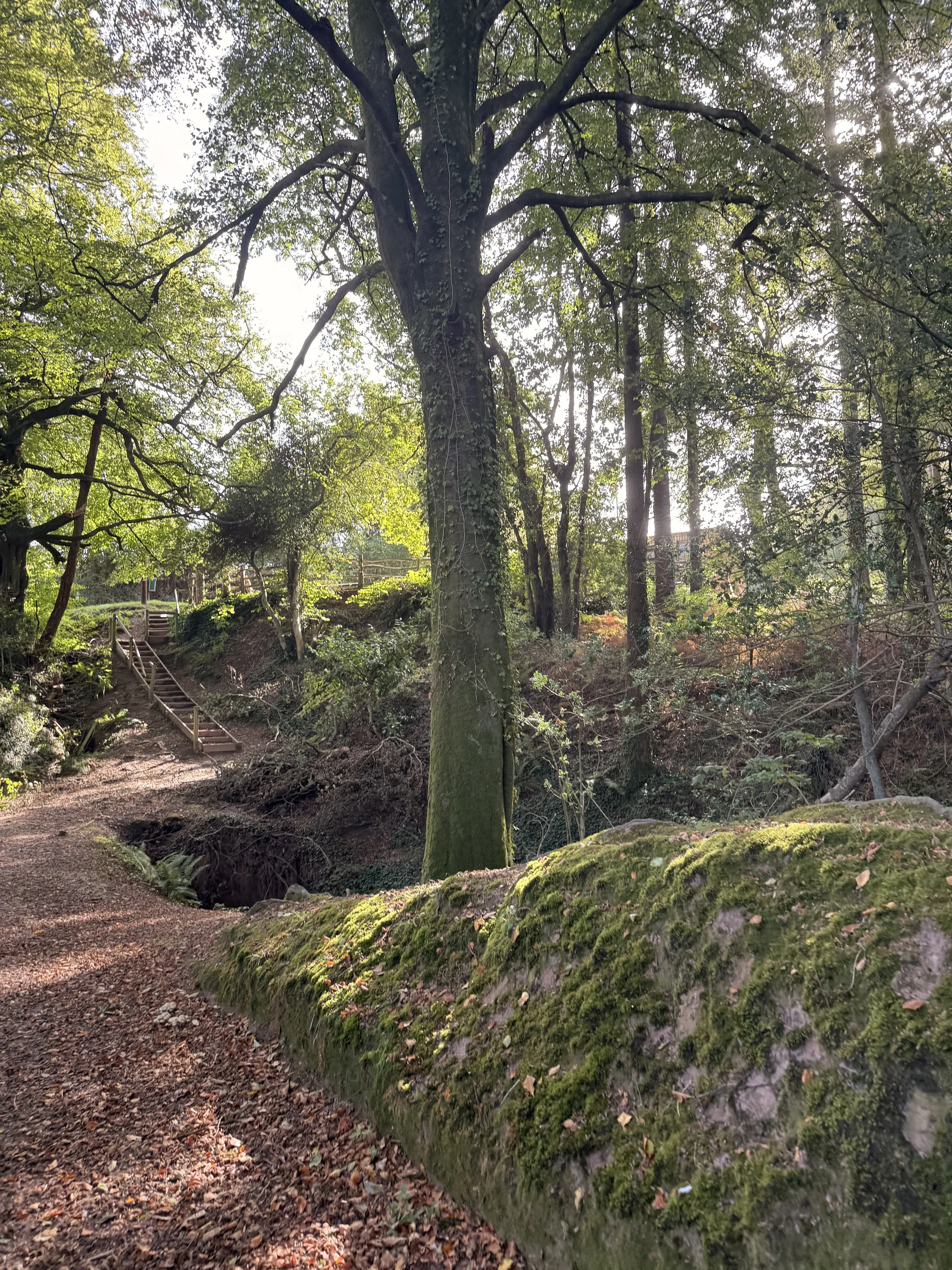
Walk down this gravel track and into Harpford Woods once more, keep to the main track until you reach an old railway bridge. From here, turn right down some steps and walk underneath the bridge and round to the right. It’s easy to feel small here in the woods, with tall trees towering over you. Keep to the path ahead, soon you should hear the sound of trickling water, look left and you’ll see a little waterfall, and you’ll pass a long brick tunnel on your right. Robins and wrens were darting about as we walked the path ahead, as well as several dor beetles trying to safely cross to the other side. Once you reach the end of the track, you’ll pass through a kissing gate and pick up the track we took at the beginning of the walk into the woods. Retrace your steps now along Knapps Lane into Harpford, passing the church on your right then finding the footpath that takes you over the bridge and back into Newton Poppleford. As we walked alongside the water and back to the car, we heard meadow pipits in the fields as well as a cetti’s warbler calling loudly in the reeds beside the river, one of my favourite bird sounds. If you enjoyed this walk, I have other walks on here, that branch off from Newton Poppleford, as well as other woodland walks to explore.
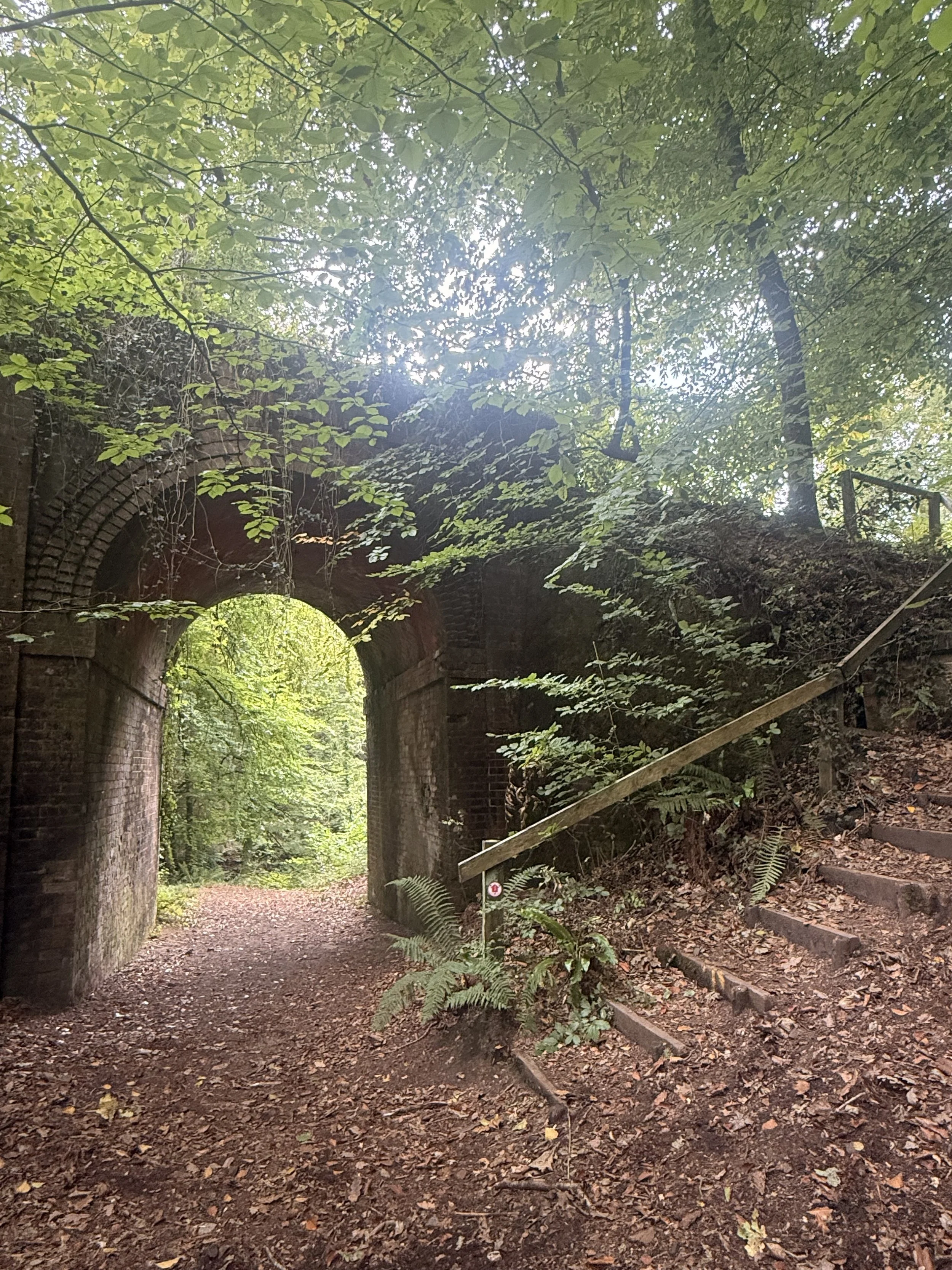
Walking under the old railway bridge in Harpford Woods
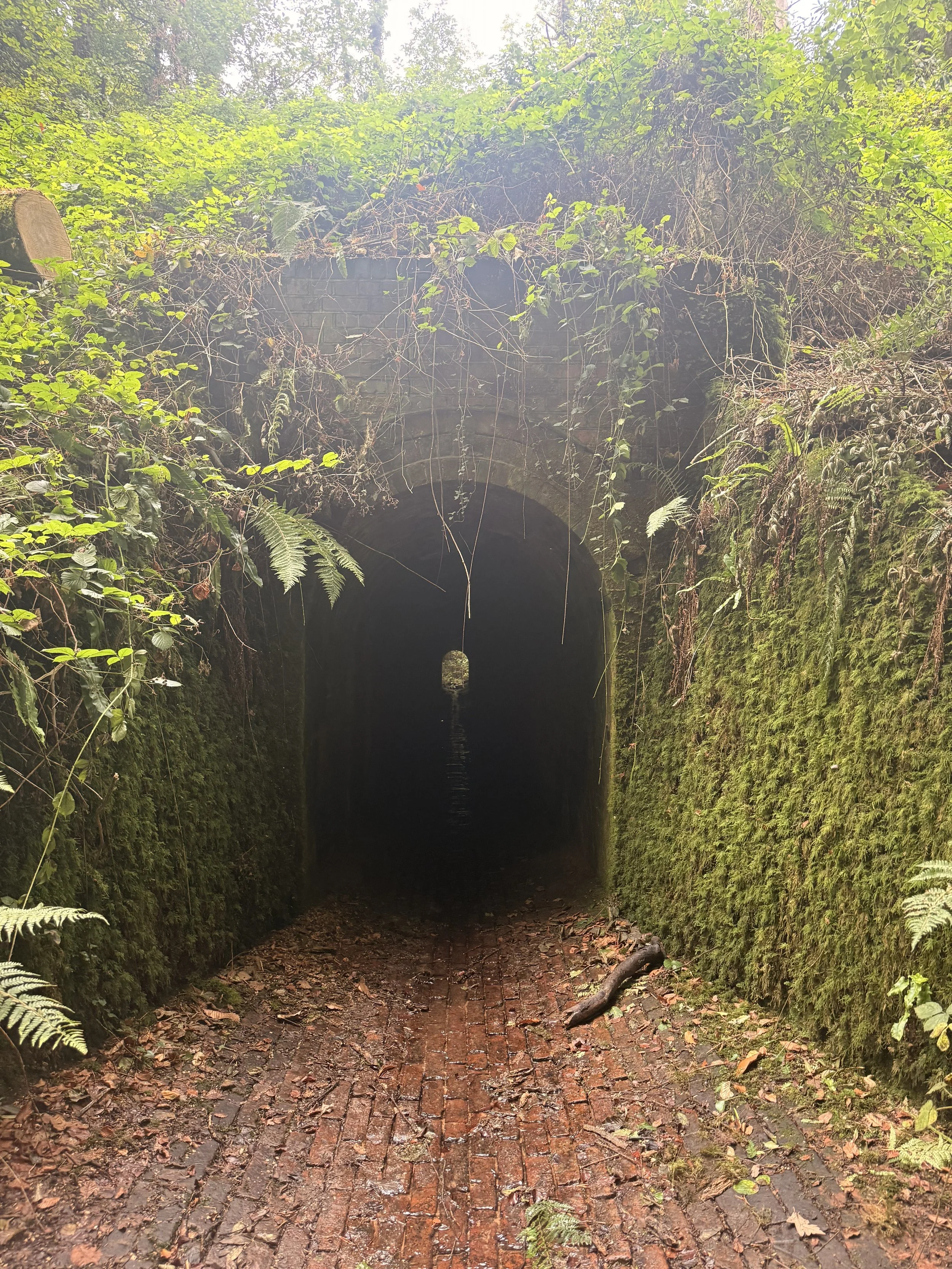
The old brick tunnel