A selection of a few adventures and days out around Devon and beyond.
Bovey Valley Woods Circular Walk
This 3.6mi/5.7km circular walk starts at the free Pullabrook car park (what3words: ///host.retract.condense) and takes you through woodland, heathland and along the River Bovey. There is so much wildlife and nature on this walk, passing two bird hides, moss covered trees, the lichen trail and so many species of fungi. There are some inclines with uneven terrain in places, so sturdy footwear is advised. There are toilets halfway along the walk at the Natural England Offices (Yarner Wood), but no refreshment stops on the route. There is a cafe at National Trust Parke (7 minute drive), as well as Ullacombe Farm Cafe & Shop (6 minute drive). Lustleigh is the nearest village (5 minute drive) which has a pub and cafe. There are also picnic benches in Yarner Wood by the National England Offices car park.
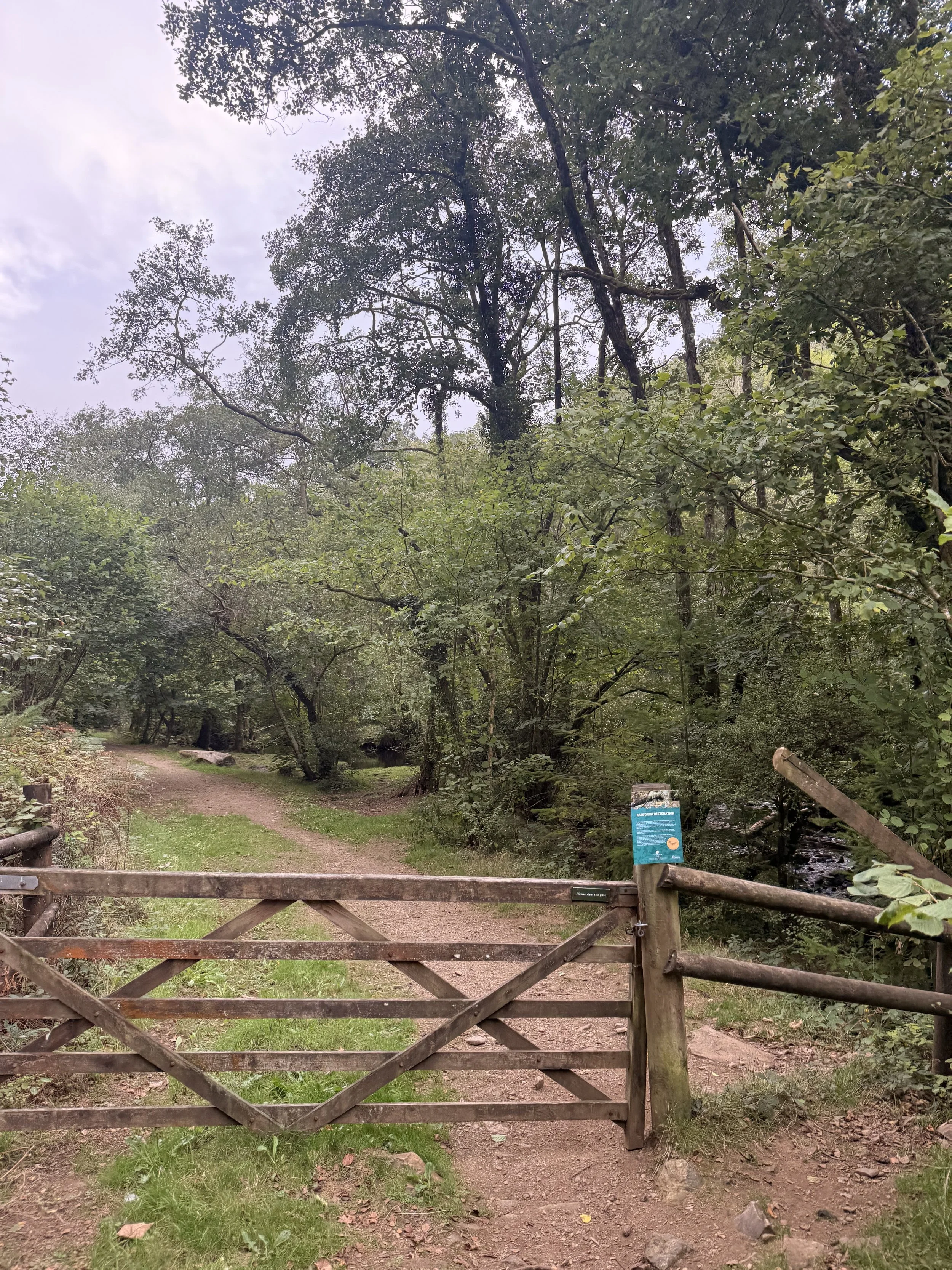
Arriving at the River Bovey
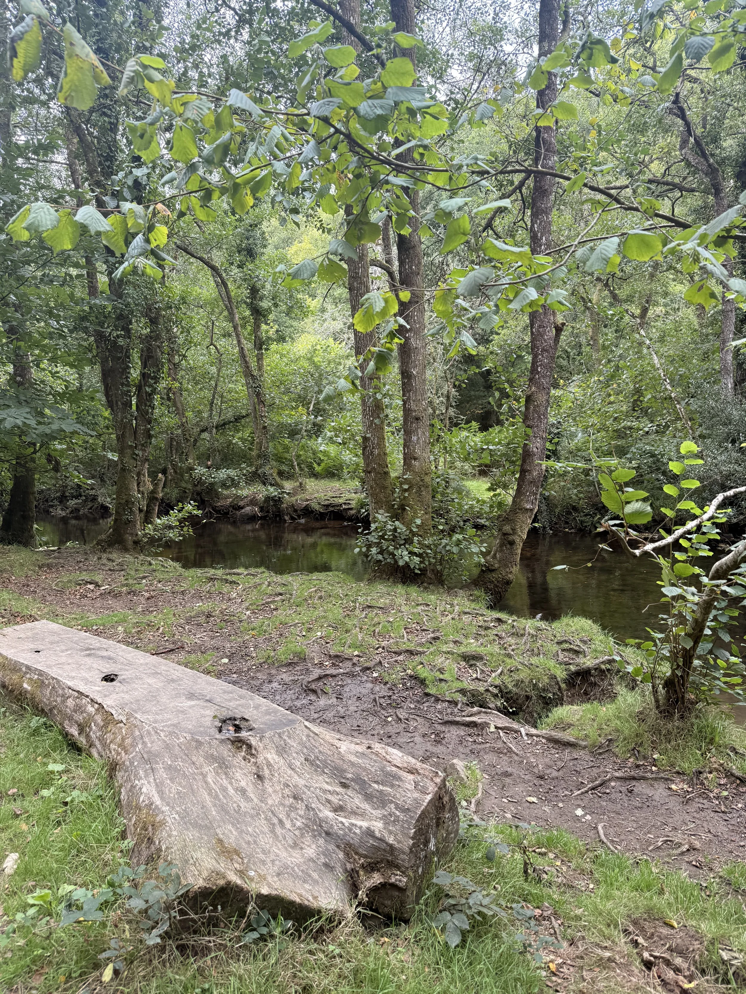
The first views of River Bovey
From the car park, follow the main track through the gate, passing some timber stacks. Take a minor path on your right before the second lot of timber stacks where you’ll pass several trees in the woods with bat boxes attached. You’ll first hear the River Bovey on your right, then as you pass though a gate, the river will be in sight on your right. Continue along this path, walking alongside the river on your right. Keep an eye out for grey wagtails and dippers in the river, especially any rocks they may perch on in the middle of the water. When you arrive at a gate in front of you, ignore this and continue to the right where you’ll soon pass over a stile and into some woodland. Here we heard long tailed tits calling out continuously and goldcrests squealing as we took the trodden path up the hill. Be careful of rocks and tree roots as you walk to the top, then turn right, taking a narrow path until it reaches a lane.
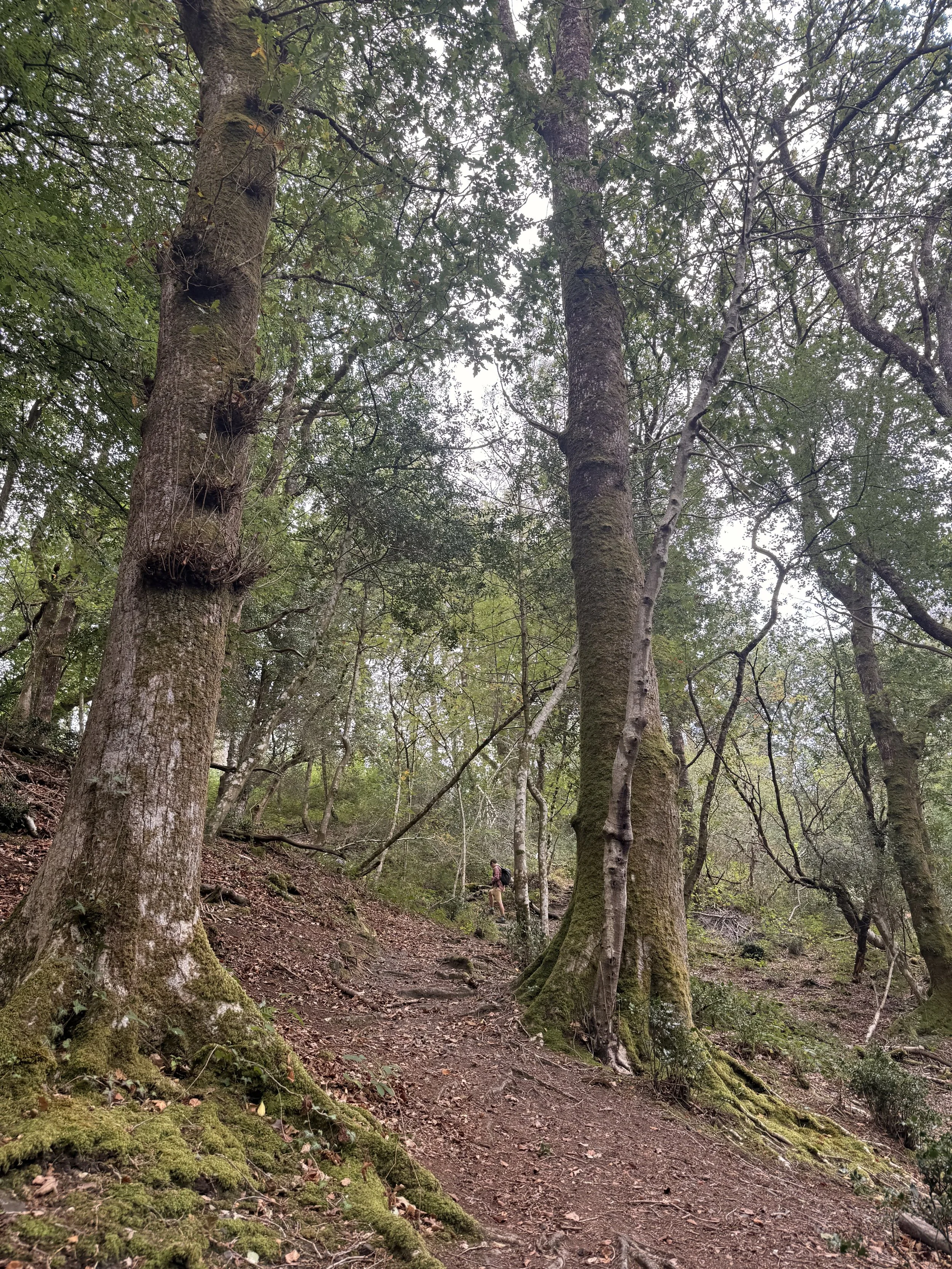
Walking up the hill in the wooded area
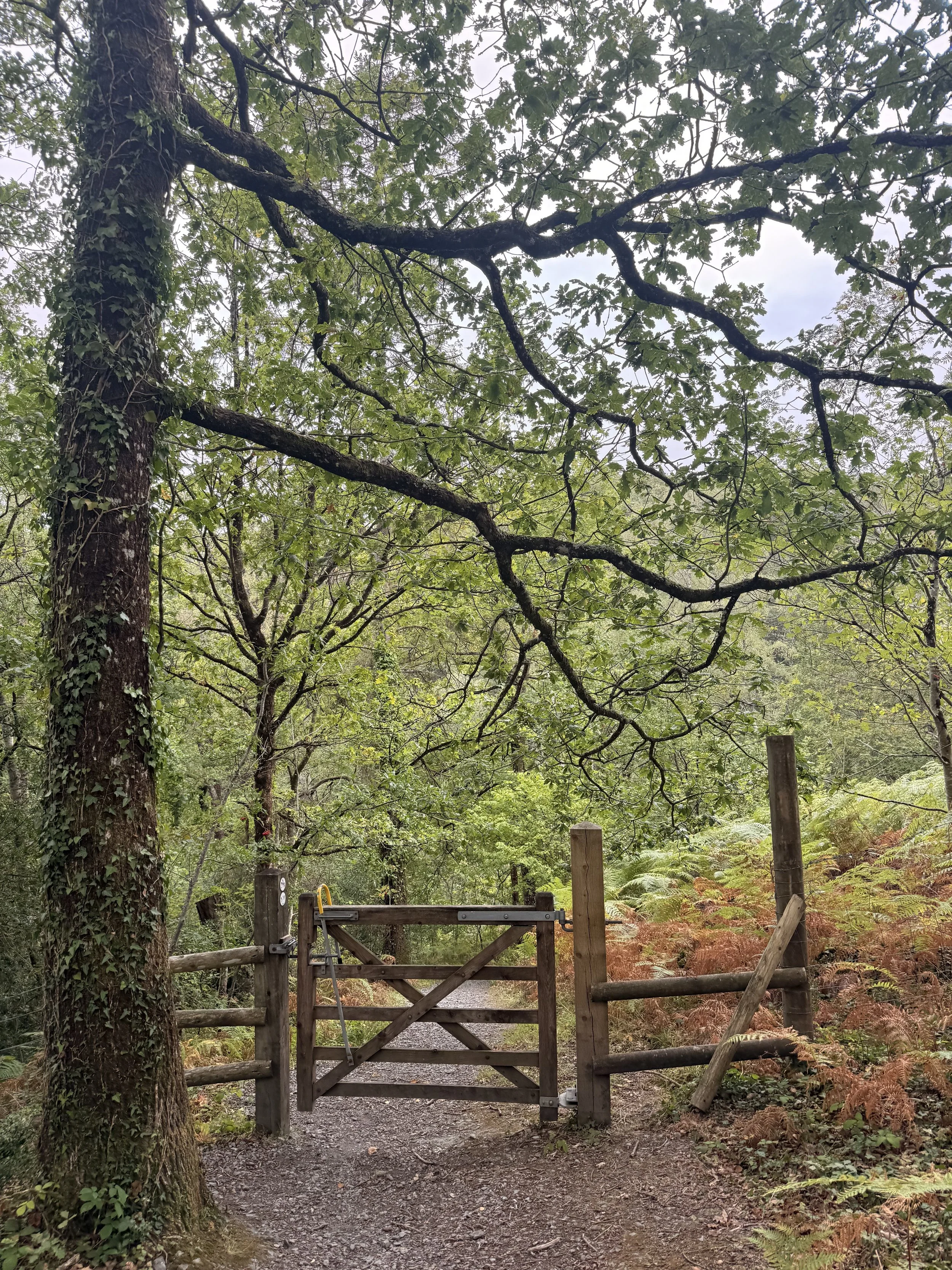
The gate leading to East Dartmoor Nature Reserve
Turn left up this lane that’s decorated with moss covered trees, stones and beautiful ferns as the path soon turns into a gravel track. When you arrive at a rocky path on the right, take this route between the ferns which will soon open up into a car park. From here, exit the car park on the right, walking a short distance up the road until you pick up a track on the other side of the road (by a bus stop with a bench). Take the bridleway to the left of the locked gates, then ahead of you, pass through the gate signposted as Yarner Wood (there’s a sign here stating that dogs need to be on leads). We heard and saw a group of meadow pipits here as we turned right at the end of this path, and on the damp September day we did this walk grasshoppers were still hopping around on the ground. Passing a gate on your right, take the path ahead of you, then turn left down a stony track with tree roots underfoot. We saw an impressive wood ant nest on the left here as we walked down the hill. The views ahead and to the right of the trees in the valley were beautiful as we turned right at the end of the track, then through a gate which leads into a car park.
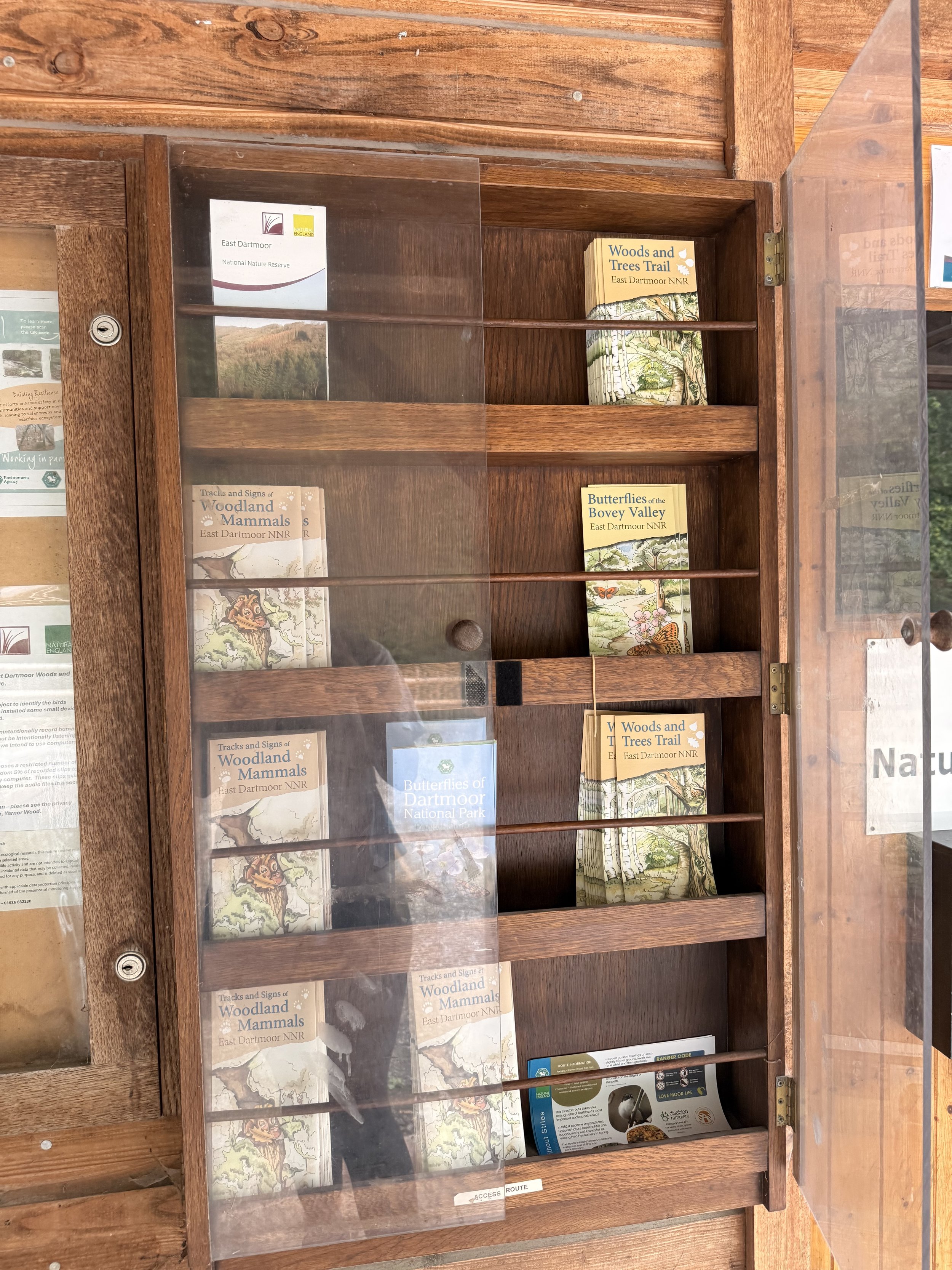
Plenty of leaflets of the local nature and wildlife
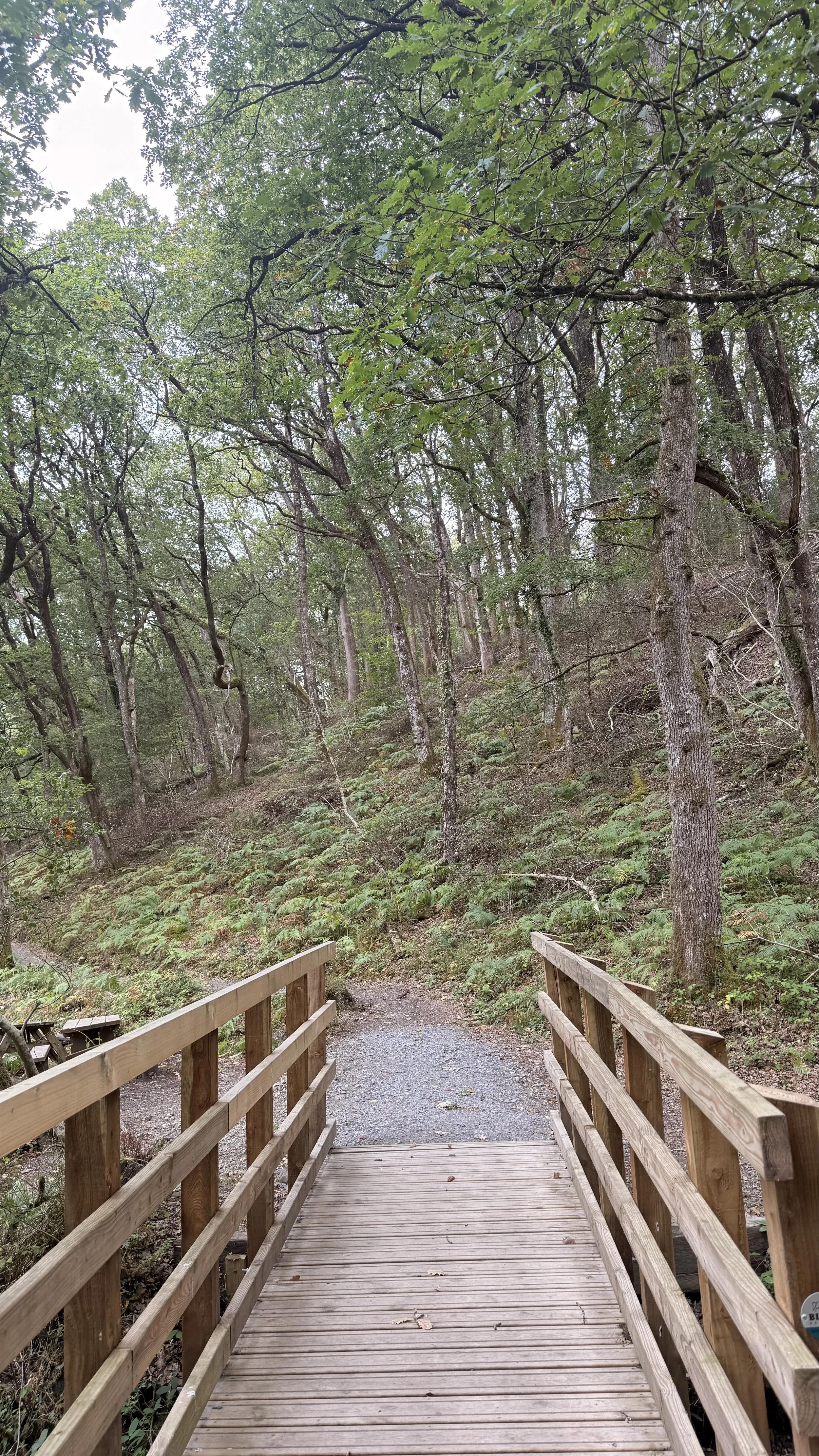
Crossing the bridge by the picnic benches
There are toilets here in this car park by the National England Offices, as well as some information leaflets on the local wildlife and nature you may encounter. After picking up a couple of leaflets we left the car park through a gate opposite the offices, then crossed over a wooden bridge. We walked the gravel path, passing picnic benches on our left by a stream, then at the end of the path, turned right, passing moss covered trees up the hill. We could hear several jays calling out in the trees here, a busy time of year for them at the moment, collecting and caching acorns to store and eat over winter. At the top of the lane, we stopped off at the bird hide before taking the track on the right hand side. When you get to a fork in the path, take the track to the right; we saw a group of chaffinches foraging on the path here as we walked under the canopy of trees. Keep an eye out for lichen and moss on the stone walls and tree roots along this track too. Turn right down a path with a post beside it which will take you down some steps then across two wooden bridges. We then turned left at the end of this path, then right, up a hill and through a gate, then taking a path to the left. (We then took a detour to the path straight ahead by the metal railings which took us to a bird hide overlooking a beautiful reservoir). Once arriving at an information sign, we took a path on the right and passed through a gate, crossing a road and entering into a car park. We picked up a grass path straight ahead in the car park, which took us right, down the hill, boasting lovely views of the valley and trees, it was lightly raining at this point, which seemed to make the landscape even more beautiful. Ignore the first left turn, instead take the second left and continue on a rocky path down the hill.
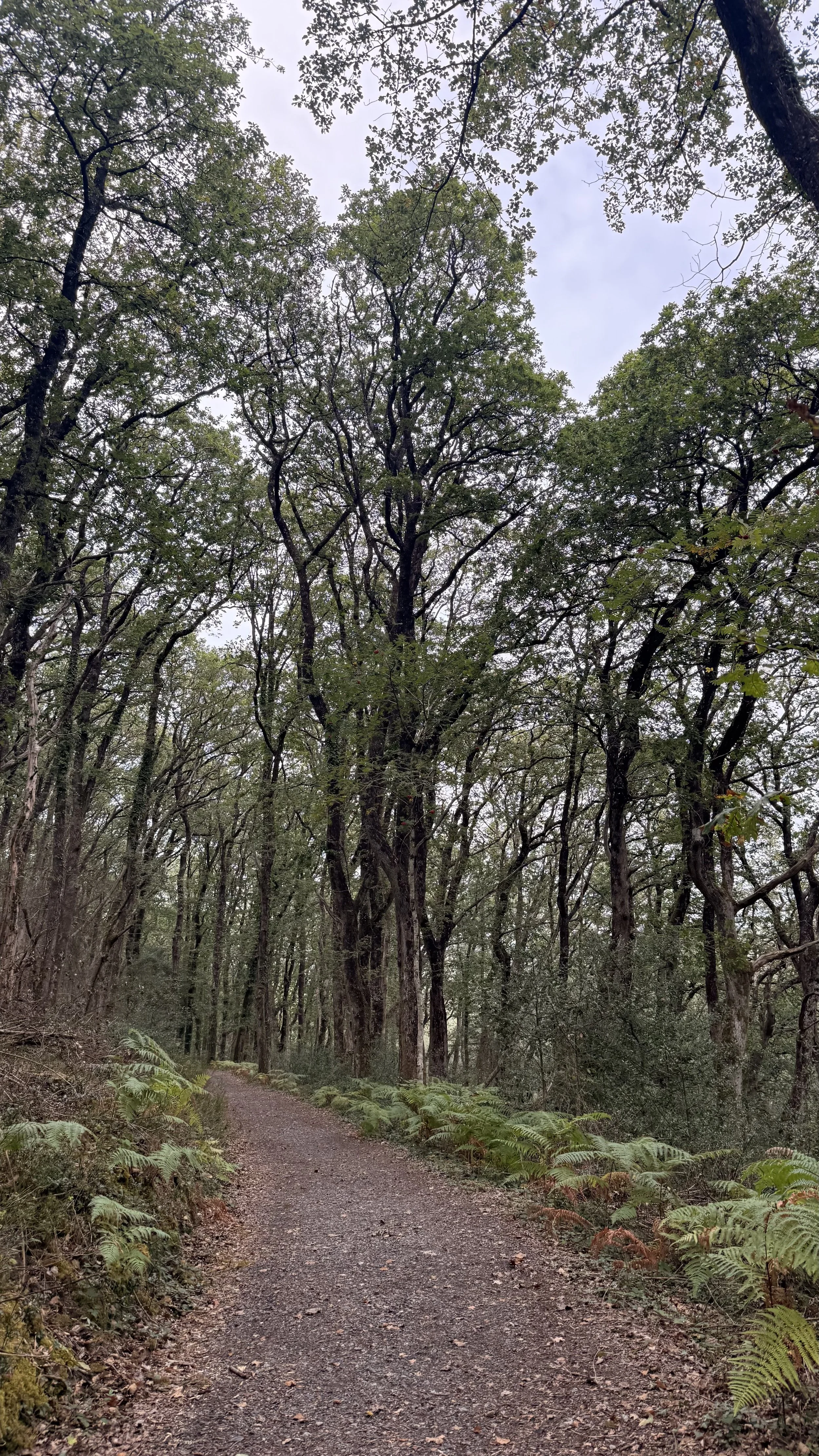
So much moss and lichen on the trees and stone wall in this area
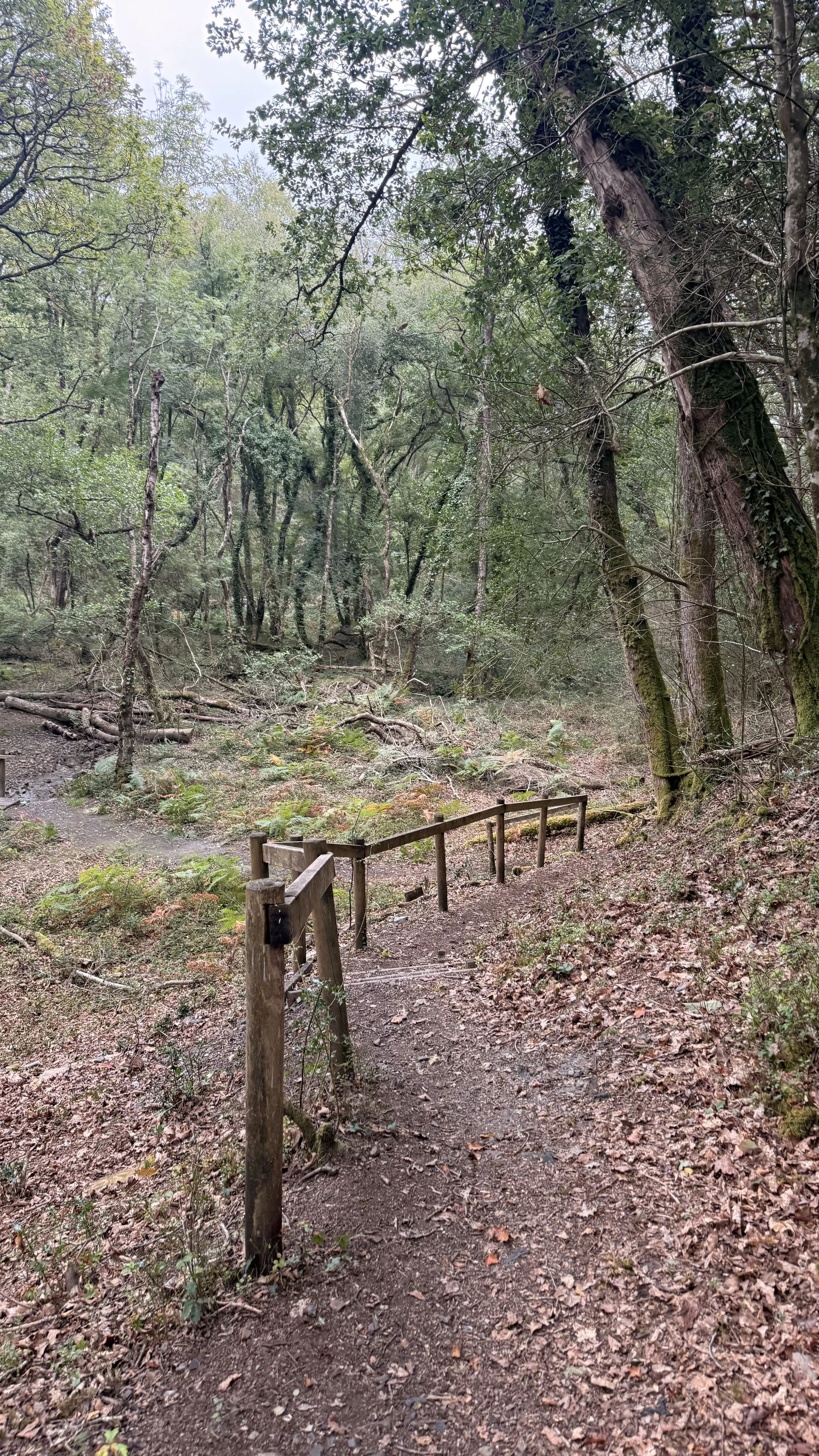
Walking the path towards the two wooden bridges
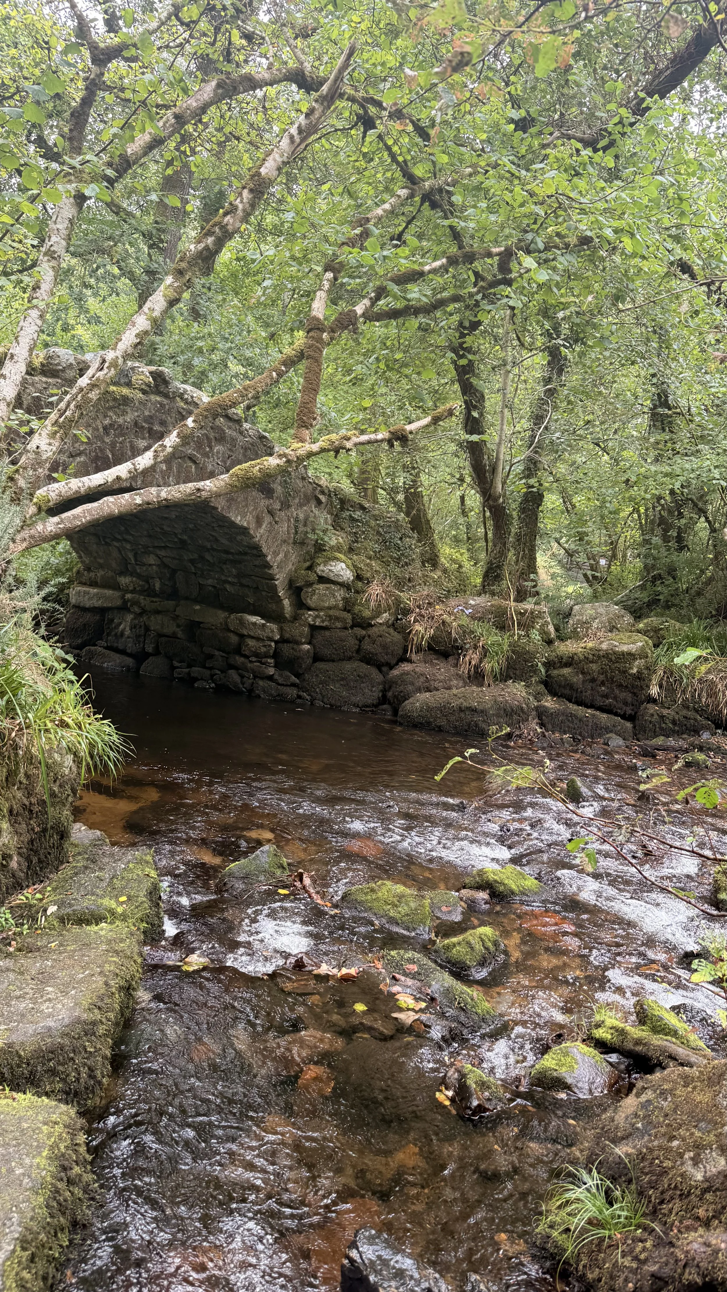
When you arrive at the bottom of the path, you should notice you’ve been on this track before. Turn left down the hill and keep an eye out for different fungi along this route, there will be a lot more popping up soon, now we’re entering into the damp autumnal days. When you pass a boulder, turn right through a gate where you’ll arrive at Hisley Bridge, a beautiful old stone packhorse bridge. After crossing over the bridge, turn right where you’ll soon pass through a gate and onto a gravel track, we saw a dipper perched on a rock in the river, so keep an eye out as you walk this path alongside the water. When you pass a sign saying ‘Hisley Woods’, take the path to the right, keeping to the riverside walk.
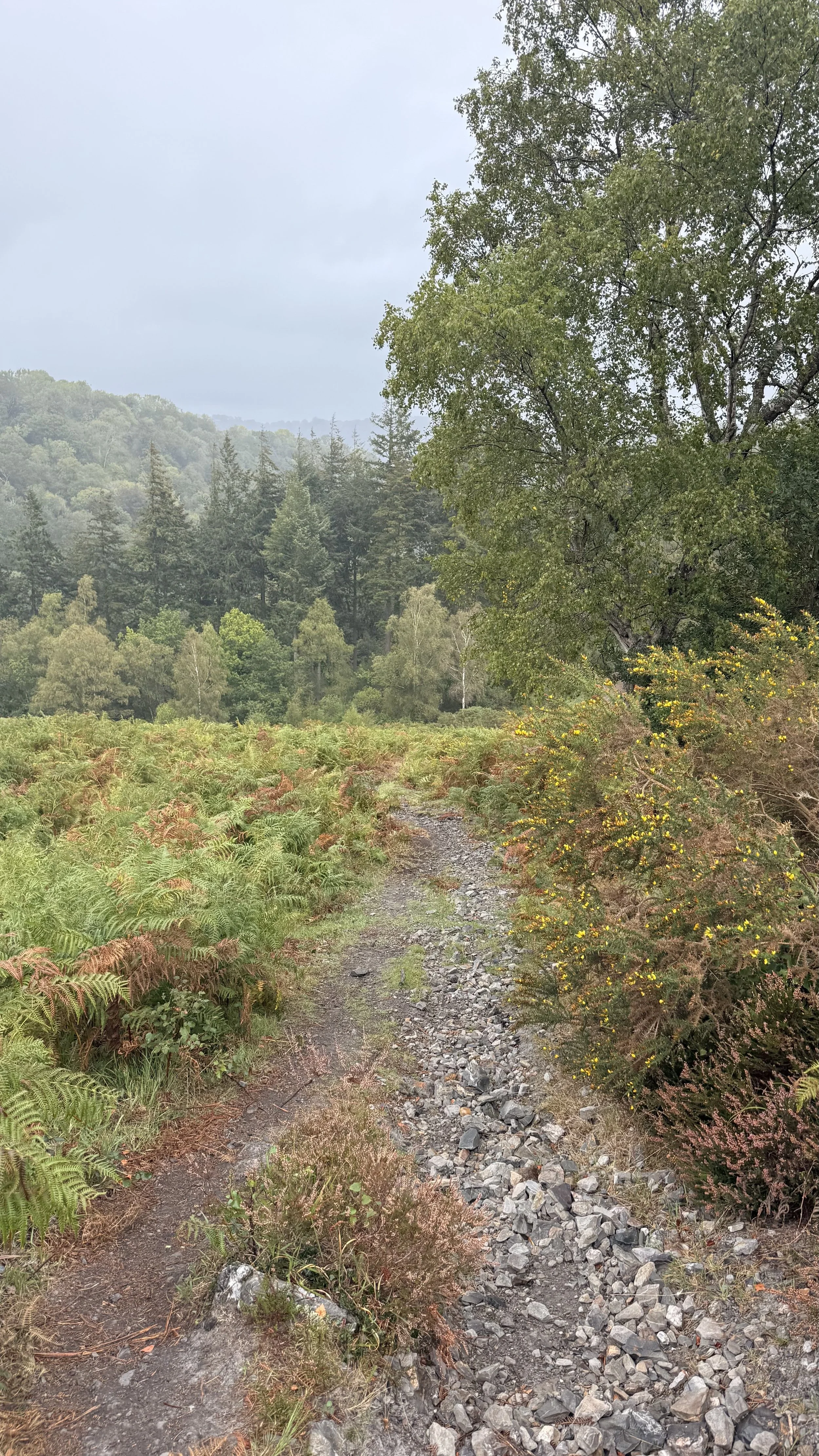
Beautiful views in the rain
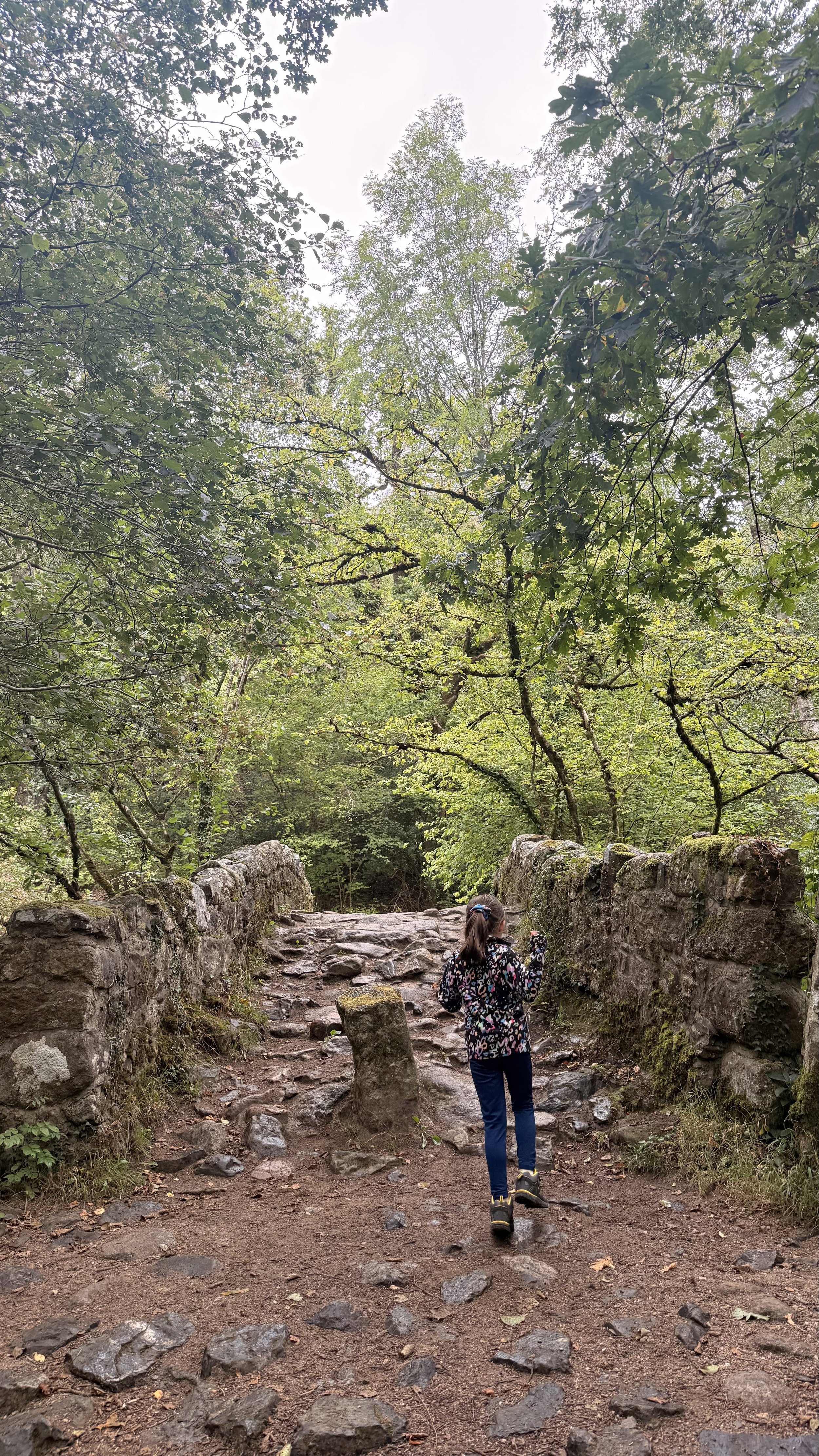
Crossing over Hisley Bridge
Eventually you’ll pass through a gate into a field with the river still on your right. Follow the trodden path that takes you to a metal gate to the left. After passing through the gate, we noticed some broken snail shells on the stone wall to the right, signs that a song thrush has most probably used the stone as an anvil to get to the snail inside. We turned right and walked down the lane then right again at the end, where soon you’ll pass over a stone road bridge and arrive back at the car park on your right. This is one of many beautiful walks Dartmoor has to offer. I’ll be posting more on here soon to enjoy, so be sure to keep an eye out for them.
Hisley Bridge, the old stone packhorse bridge
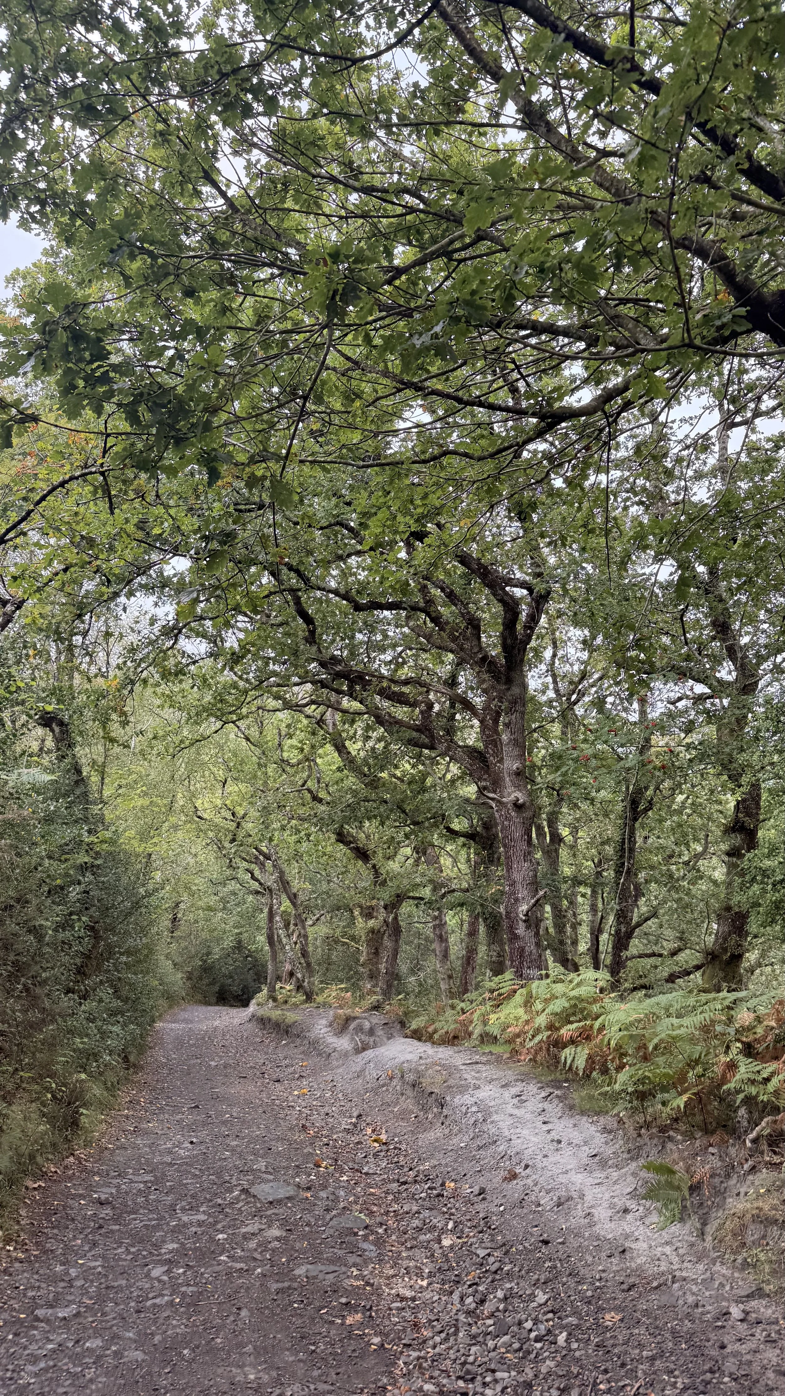
One of the tracks sheltered by trees
Exploring one of Dartmoor's Reservoirs - Burrator Reservoir.
This time of year makes me love woodland walks, enjoying the crisp leaves underfoot, and the beautiful autumnal colours in full swing, so last weekend we decided to make the most of this season and go for a walk on Dartmoor. I decided on Burrator Reservoir, mainly because we don’t tend to visit the reservoirs on Dartmoor, and also because it had some highly rated geocaches there! Parking by the reservoir was fairly easy as there are a few car parks in the area, but we joined the rest of the parked cars on the roadside by the dam itself. There were even some brave people enjoying an ice cream from the ice cream van by the bridge on this cold October day!

We parked next to the Reservoir Dam, with beautiful views over the bridge.
From here we walked along the bridge, taking in the beautiful views of the water and the hills and Tors behind it. Once we crossed the bridge and turned the corner on the left, we soon spotted a gate to pass which took us closer to the reservoir. From here we started to find our first geocaches, some here were very clever! We enjoyed ‘The Joy of Caching’ series for anyone who’s looking for a fun geocaching loop to do on Dartmoor.

Beautiful views of Burrator Reservoir and the moors behind it.
After spending some time looking for a clever geocache in the wooded area, we then decided to stop and have our picnic on a secluded spot by the water, it almost felt like a little beach! We were soon joined by some very friendly Canada Geese and ducks, our 1 year old daughter found it funny that they were interested in our lunch!

Views from where we found our first geocache.
After finishing our lunch we decided to continue the walk all the way round the reservoir, which took us a couple of hours as we walked at a leisurely pace and stopped a few times to find some geocaches. The whole walk was about 4.5 miles in total, but wasn't at all strenuous. The path is very clear and easy to follow, and there’s also signage at certain points which told us if we needed to walk on the road for a short while.

Information about Longstone Manor

We stopped at one point to read an information sign about Longstone Manor, which was an old Manor house owned by the Elford family, long before the reservoir was built beside it. Now only the remains of the granite house are here, but there’s still a fair amount to see. However we decided not to take a detour to the peninsula, instead continuing on straight ahead, following the path which eventually led us onto the road for a short while. From here the walk continued on around to the left and over Norsworthy Bridge, where there were beautiful views of the water cascading down rocks and flowing towards the reservoir. We stopped for a moment to take a few photos of the area then continued around to the left where we passed another gate and rejoined the path beside the reservoir.

Norsworthy Bridge surrounded by Autumn colour

Along this path we soon arrived at a gate saying that we would be entering an off lead dog walking area; we took this route and were soon met with the reservoir on our left again, with gorgeous views of the Moors and Tors behind it. As we continued ahead we soon spotted the education centre nearby, where we rejoined the road for the rest of our walk around the reservoir. We were only a few minutes walk away from the dam where we started, but first we passed a beautiful waterfall on our right, which is quite a pleasant surprise when you’re not expecting to see it!

Beautiful views over the water
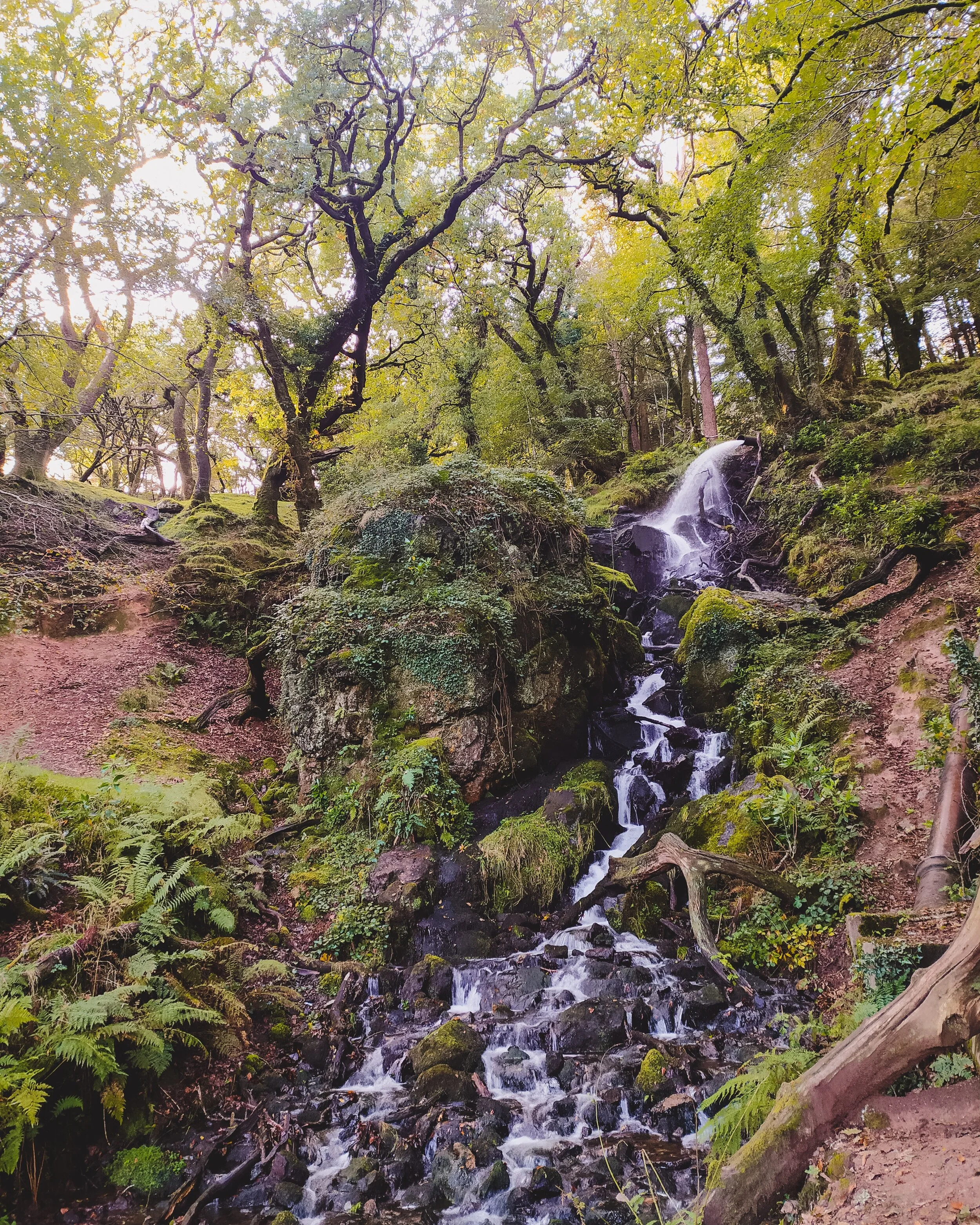
A waterfall by the reservoir
Burrator Reservoir is definitely worth a visit, its great for dogs, children and geocachers! It’s even more beautiful at this time of year, with different shades of orange and brown in the trees surrounding the water. Parking is ample and free on the roadside as well as car parks nearby on the main road down to the reservoir. I would advise wellies or walking boots for the walk and to give yourself a few hours if you are intending to walk round the whole reservoir, in order to really enjoy the walk at a leisurely stroll. We also came across plenty of friendly Dartmoor ponies by the roadside, and for those of you interested in the local wildlife the area has to offer, we also passed a (free) car park by the reservoir for Burrator Arboretum and Nature Reserve which we didn’t have time to visit but have added it to the list for next time! The walk round the reservoir would not be suitable for wheelchairs or pushchairs, but the Arboretum has a new easy access trail built to ensure those in wheelchairs or families with pushchairs can enjoy the nature reserve too.

Burrator Reservoir