Morte Point and Bull Point Lighthouse

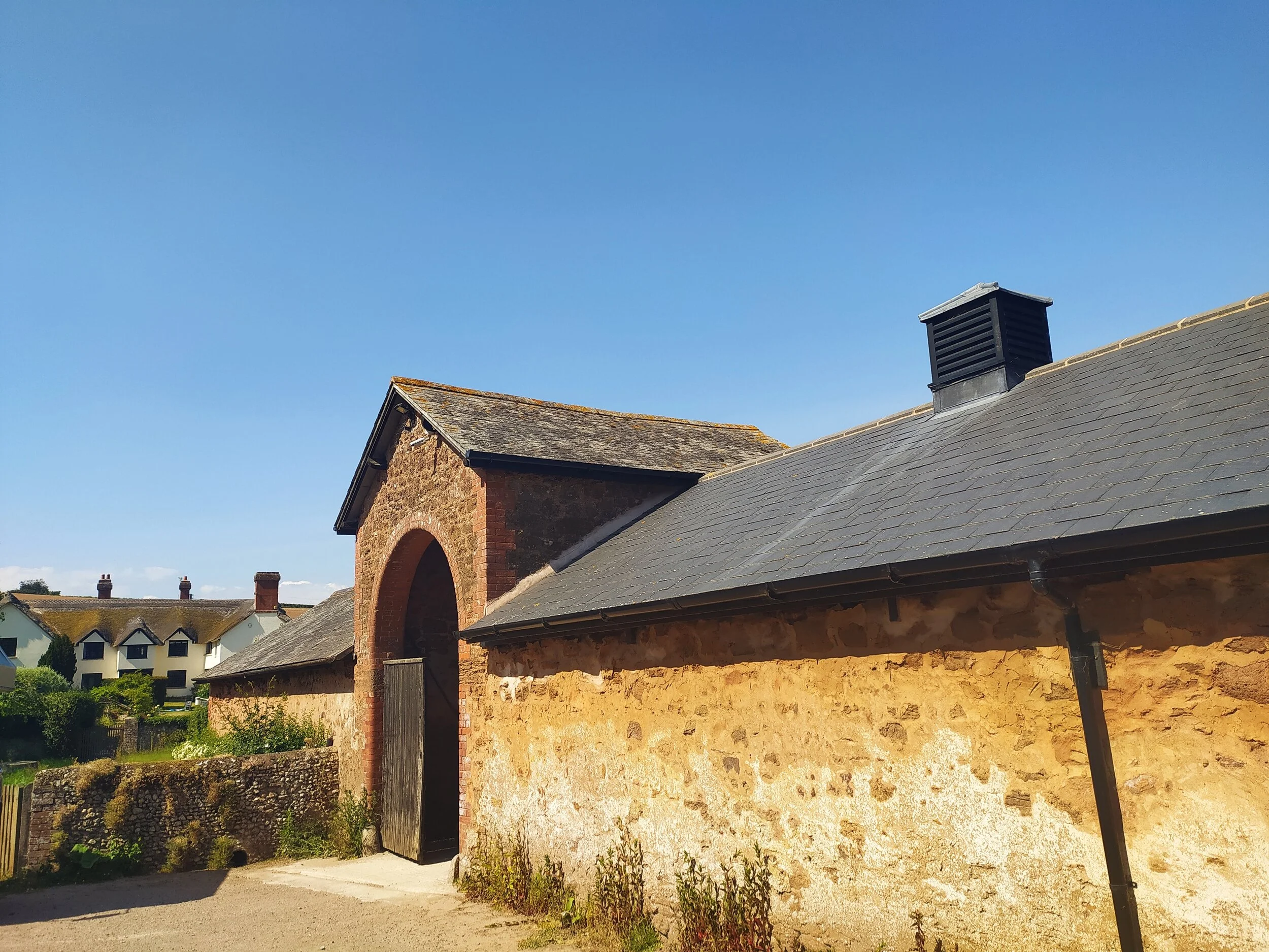
With the nice weather we’ve been having lately, we decided to make the most of it and explore another coastal walk. We decided on North Devon, mainly because we haven’t explored a lot of North Devon walks, but also because there’s a lighthouse on this walk, and anyone that knows me, knows I love lighthouses. The walk we did starts off in a little village close to Woolacombe, called Mortehoe. Here we parked in the main pay and display car park and turned left up the road where we spotted a pub (The Ship Aground) and then the local church (St Mary’s), looking beautiful in the sunshine with lots of flowers decorating the entrance.

St Mary’s Church to the left, and local pub, ‘The Ship Aground’ to the right.

St Mary’s Church to the left, and local pub, ‘The Ship Aground’ to the right.

From here we carried on walking down the road to our left, keeping the Church on our right. We then passed lots of pretty houses and another Church. Here we spotted a public footpath to our right, but we ignored this one and instead walked down a bit further until we spotted the National Trust gated footpath that led onto the coast path. Once through the gate we were treated to some stunning views of the glistening sea and the spectacular Woolacombe beach where we could see many families and surfers enjoying the sun, as we walked past lambs grazing on the land.

Footpath leading to Morte point, with sea views in the distance.

Footpath leading to Morte point, with sea views in the distance.

As we followed the footpath up a hill, we stopped to look back and take in the views; as it was such a clear day, looking past the numerous surfers on the water we were able to see Baggy Point jutting out in the distance. This path soon descended down a hill, still with views of the sea and Woolacombe beach to the left, and the small Churchyard to the right.

Views of Woolacombe beach and Baggy Point.

Views of Woolacombe beach and Baggy Point.

As we followed this path through another gate, we found that it becomes a bit narrow as we walked between some gorse. We then turned left onto a wider path that would lead us to Morte Point. It was here that we realised we could have taken a clearer path earlier on, that would have also joined onto Morte Point and not been so narrow, but the one we walked was still passable and took us to where we aimed to go.

Views of Morte Point from the Coast path.

Views of Morte Point from the Coast path.

The views from this part of the coast path are far from disappointing. We stopped for a moment to watch the waves crashing on the jagged rocks below before climbing up some rocky steps to continue along the coast path. As we turned a corner we could spot our destination, Bull Point Lighthouse, in the distance. which in the intense heat felt like miles away!

Taking in the views of the sea and surf.

Taking in the views of the sea and surf.

About to climb the rocky steps.

About to climb the rocky steps.

A glimpse of Bull Point lighthouse in the distance.

A glimpse of Bull Point lighthouse in the distance.

Looking down at the bay of rocks below, I remarked to Jo that we hadn’t yet spotted any seals, and at that moment, I then saw a seal pop it’s head out of the water, and then as we walked a bit further on, we spotted another seal, bobbing about in the waves. We decided to take a drinks break here on one of the benches at the top of the hill to see if we could spot any more seals (we didn’t!) before heading in the direction of the lighthouse.

Sea views and Bull Point Lighthouse in the distance.

Sea views and Bull Point Lighthouse in the distance.

As we carried on, we reached a fork in the path with a signpost telling us Mortehoe Village was to the right. In spite of the heat we thought we’d press on to the lighthouse, so we took the path to the left to carry on along the coast which eventually lead us through a gate and more steps to climb. From here we had views of Whiting Cove, which can sometimes be popular with sunbathing seals. As we got a closer view of the cove we looked out for any more seals but couldn’t see any, so we carried on down more steps, through yet another gate and followed the signpost for Bull Point.

Views of Whiting Cove below, before taking the steps down towards Rockham Bay.

Views of Whiting Cove below, before taking the steps down towards Rockham Bay.

We spotted Rockham Bay with a boardwalk staircase leading down to it, but as we got closer, we saw a sign saying these steps down to the bay were closed... We quickly realised why: the wooden steps had collapsed, possibly in a recent storm, and now left the bay inaccessible.

Rockham beach, you can just about see where the wooden steps have collapsed.

Rockham beach, you can just about see where the wooden steps have collapsed.

From here, we had a bit of a hill climb, which was made more strenuous in the heatwave we were having this week. Once at the top, we had a quick stop to admire the views around us before taking the steps down and then up yet another hill. From this post, you can probably tell there’s several hills and steps to climb on this stretch of the South West Coast path, but the views make it worth the effort! Once at the top of this hill we looked back at the frothy surf crashing on the rocks below before reading the Informative map about Bull Point. Once we reached the top of the next slope, we were greeted with Bull Point Lighthouse standing proudly on Bull Point itself. This lighthouse was actually relocated here from Mortehoe back in the 1970s. There is no public access to the lighthouse itself, but there are holiday cottages here that you can stay in, owned by Trinity house, which if like me, you have a (strange?) interest in lighthouses, you’ll know Trinity House are a charity that own and run most lighthouses in the UK.

Looking back at yet another hill we just climbed.

Looking back at yet another hill we just climbed.

Bull Point Lighthouse and holiday cottages.

Bull Point Lighthouse and holiday cottages.

After a quick break to look at the lighthouse, we decided to take the road to the right, which as a signpost told us, would lead back to Mortehoe, 1 mile away. We would have carried on to Sandy Cove and Lee Bay but it was already nearly 5pm so we decided we would do that walk another day. This route back to Mortehoe took us up a country lane decorated with plenty of foxgloves. A short walk up the lane and we were soon met with a holiday park and houses. From here, we took the road straight down the hill into the village, with views of the sea peeking between the houses on our right.

Sea views in the distance.

Sea views in the distance.

I soon spotted the post office at the bottom of the road, which I recognised from the start of our walk as it sold quirky and cute holiday souvenirs that were displayed in the windows. After having a quick glimpse in the post office window, we crossed the road and entered the car park that we had began our walk in. For anyone wondering, I worked out we walked around 4.5miles today, it’s a little strenuous in places but can be walked at a leisurely pace and is worth the walk for the views of the North Devon Coast and beaches. If you have the time, Woolacombe beach is well worth a visit, and maybe try out a bit of surfing while you’re there!

North Devon, well worth a visit.

North Devon, well worth a visit.

Castle Lane to East Budleigh Footpaths

I love this walk for many reasons, one being that I hardly see anyone on it. From leaving the cycle trail to arriving at East Budleigh I didn’t see a single person on the walk; Perfect right now when social distancing is a priority! It also brings happy memories of walking around Hayes woods and Hayes Lane with a good friend of mine and our dogs. I also just love East Budleigh and all it has to offer in its little chocolate box village! I did end up up walking quite a few miles in the end, but that’s also due to doing a detour to Hayes Barton, but if you like a quiet walk with equal views of countryside and coast then this one is for you.

Views of East Devon villages and coastline from the footpath.

Views of East Devon villages and coastline from the footpath.

I started this walk at the Castle lane section of the Old Railway line between Exmouth and Budleigh. To get here you just turn right after the recycling centre along Salterton Road, if you’re coming from Exmouth towards Budleigh, or if you’re arriving from the opposite direction, then its the first turning on the left after the main Budleigh roundabout into Exmouth. There’s normally plenty of parking available on the roadside and the entrance to the Old Railway line is obvious to see from the road.

The bridge of the Old Railway Line

The bridge of the Old Railway Line

Once you spot the entrance to the railway line, you’ll see a map showing you where this trail leads, if you aren’t familiar with it then I definitely recommend walking along here, it’s a popular walk amongst cyclists, walkers and horse riders. It’s also worth looking back at old photos of the railway line and stations that used to be here before Dr Beeching closed them in the 60s. After you’ve had a look at the map, walk down the path infront of you and then turn right, where you’ll spot the bridge you were just on, which I’ll now be walking underneath.

Old Railway line in Spring

Old Railway line in Spring

This trail is always a peaceful walk, hearing the birds singing above and squirrels scurrying about, the light glistening through the blanket of trees onto the path. I also find it especially beautiful in Autumn, which I’m sure I’ll post about in a few months. When walking this path you can almost forget you’re walking alongside a fairly busy road. I carried on walking this path and soon saw a footpath to my left, this leads to Knowle and East Budleigh common. The local forest school is also situated in this woodland, it’s a lovely area to explore, especially the lane into Knowle with the stream flowing alongside you. I’m not going that way today though, instead I walk straight ahead, up a slope, until I reach the end of the trail.

Views of a thatched cottage.

Views of a thatched cottage.

As I exit the cycle trail, I then turn left up Bear Lane where I soon spot a figure of Winnie the Pooh to my left. Sadly this isn’t where he lives, but it is home to ‘Pooh Cottage’, a holiday park that I find aptly named due to the lane it is situated on. I carry on up this lane which boasts beautiful views of fields and the sea to my right, tall pine trees towering over me and a beautiful thatched cottage to my left, before I reach the end and then turn right down a dusty track.

Trail leading to the woodland.

Trail leading to the woodland.

Once I get to the bottom of this trail, there is a path going off to the left… don’t go this way. Instead, I carried on ahead where I pass a farm gate on my right and then another one round the corner to my left. These fields are home to dairy cows owned by Dalditch Farm. From here, I look back over to my right and catch a glimpse of the rooftops of Budleigh Salterton and the vibrant blue sea in the distance. I make my way up between the foxgloves decorating both sides of the track which takes me towards a path sheltered by woodland. As I carry on straight ahead, I spot a rope swing hanging from one of the trees on my right.

The woodland with rope swing.

The woodland with rope swing.

I continue on ahead until I reach two public footpath signs to my right, then take the path of the sign pointing to the left and follow it all the way, where it opens out onto Shortwood Common and eventually leads to a stile with a field on the other side. Once over the stile, I keep to the right as I walk along the outside of the field until I reach a metal gate with a public footpath sign directing me straight ahead.

Keep to the right of this field.

Keep to the right of this field.

I pass through the metal kissing gate ahead and take in the stunning views on offer along this track. From here I can see the beautiful rolling hills of the East Devon Countryside, with the sea on the horizon. Today was a fairly clear day so i was able to see the coast line, Peak Hill and Otterton Village. As I walked further up this path I could also make out East Budleigh village, which was where I was heading.

IMG_20200527_143927.jpg

I can imagine the sun rising and setting would look stunning from this viewpoint, on a day like today I could make out the white cliffs of Beer and Branscombe. See if you can spot Bicton Obelisk from the top of this hill, it stands out to the left of East Budleigh.

Views of East Budleigh and beyond.

Views of East Budleigh and beyond.

I follow this track all the way round where I now have beautiful views to my left of farmland and a glimpse of East Budleigh down the hill. I eventually meet a stile where I then turned left up a country lane which leads to Hayes lane with an electricity substation right infront of me. From here I stopped to greet some friendly cows in a field and spotted a buzzard circling above, I then turned right down Hayes Lane. As I walked down this lane I could just make out All Saint’s church poking through the hedgerows ahead. From here I enter East Budleigh over a stream where I’m greeted with plenty of thatched buildings adding the character to this village. The first one I spot is Vicar’s Mead (photographed below) which is the old Vicarage. It was also a school for boys taught by the local Vicar. Sir Walter Raleigh was one of the boys educated here.

Plenty of thatched buildings adding character to East Budleigh.

Plenty of thatched buildings adding character to East Budleigh.

I followed Hayes Lane to the end where I spot the Sir Walter Raleigh pub ahead. From here I turned left, up the hill and past the church to sit on a bench next to the statue of Sir Walter Raleigh before I headed home. If you don’t know East Budleigh well, then it is worth exploring this little village; It boasts so much character with its thatched cottages, Budleigh Brook running through it, plenty of flower boxes bursting with colour and the local roots of Sir Walter Raleigh born and raised in Hayes Barton just up the road.

Houses selling eggs and marmalade with All Saint’s church in the background.

Houses selling eggs and marmalade with All Saint’s church in the background.

The statue of Sir Walter Raleigh

The statue of Sir Walter Raleigh

The ‘Sir Walter Raleigh’ Pub

The ‘Sir Walter Raleigh’ Pub

I headed back home the way I came, but first I took a detour 15 minutes up the other end of Hayes Lane (past the electricity substation) to see Hayes Barton. It’s been a few years since I’ve walked this way and had a glimpse of the home where Sir Walter Raleigh and his family lived. It’s worth a walk up if you haven’t been before but bear in mind it will add time onto this walk (I ended up walking about 7.5 miles today). From here I then walked back via Hayes woods and rejoined the field with the stile.

Hayes Barton, birthplace of Sir Walter Raleigh.

Hayes Barton, birthplace of Sir Walter Raleigh.

A glimpse of Hayes Barton in the background.

A glimpse of Hayes Barton in the background.

As I headed back to Castle lane the sun was getting lower, which then lights up the trees along the Old Railway line as I walked under the bridge, and back to my parking spot. The Old Railway is a lovely walk in its own right even if you don’t want to walk all the way to East Budleigh.

I took quite a few photos (as usual) of my surroundings on my walk today and also of the beautiful village, so I’ll add more photos to my instagram account which is linked on here if you don’t know it already. (Or you can click here)

Walking back to Castle Lane.

Walking back to Castle Lane.